Bellhurst Wood
Wood, Forest in Sussex Wealden
England
Bellhurst Wood

Bellhurst Wood is a picturesque woodland located in Sussex, England. Spanning an area of approximately 100 acres, it is nestled within the South Downs National Park, offering visitors a peaceful and serene environment to explore.
The woodland is primarily composed of a mixture of broadleaf trees, including oak, beech, and ash, which provide a rich and diverse habitat for a variety of plant and animal species. The dense canopy created by these towering trees offers shade and shelter, making it an ideal habitat for woodland birds such as woodpeckers, owls, and warblers.
Bellhurst Wood is also home to a network of well-maintained footpaths and trails, allowing visitors to embark on enchanting walks and hikes through the heart of the forest. The paths wind their way through the ancient woodland, offering glimpses of vibrant wildflowers, ferns, and mosses that carpet the forest floor during spring and summer.
The wood is a popular destination for nature enthusiasts, photographers, and families seeking a peaceful retreat from the hustle and bustle of everyday life. It is also a haven for wildlife enthusiasts, as it provides opportunities to spot various woodland creatures, including deer, squirrels, and rabbits.
In addition to its natural beauty, Bellhurst Wood boasts a rich history dating back centuries. It is believed to have been part of a larger medieval deer park and has remnants of ancient boundaries and ditches. The woodland's history adds an extra layer of intrigue and charm to its already enchanting atmosphere.
Overall, Bellhurst Wood is a hidden gem in Sussex, offering visitors a chance to immerse themselves in nature's beauty and tranquility. Whether one wishes to go on a leisurely stroll, admire the vibrant flora, or simply enjoy the peaceful ambiance, this woodland has something to offer everyone.
If you have any feedback on the listing, please let us know in the comments section below.
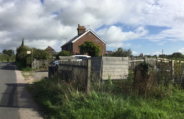
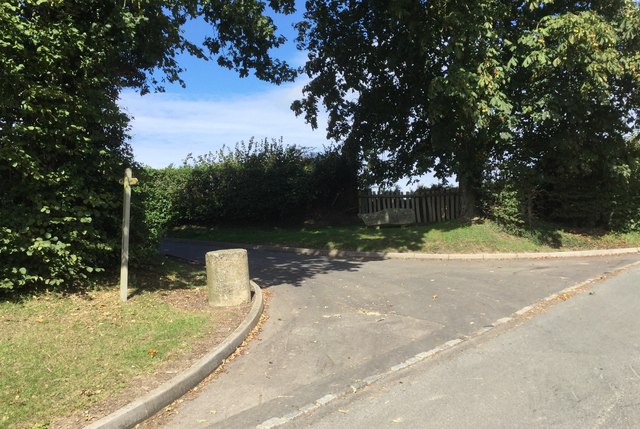
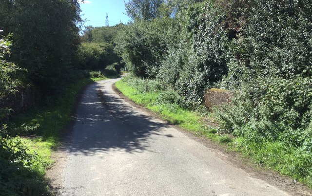
Bellhurst Wood Images
Images are sourced within 2km of 50.885294/0.3602141 or Grid Reference TQ6612. Thanks to Geograph Open Source API. All images are credited.


Bellhurst Wood is located at Grid Ref: TQ6612 (Lat: 50.885294, Lng: 0.3602141)
Administrative County: East Sussex
District: Wealden
Police Authority: Sussex
What 3 Words
///goal.yummy.appeal. Near Herstmonceux, East Sussex
Nearby Locations
Related Wikis

Boreham Street
Boreham Street is a small village in the Wealden district of East Sussex, England. Its nearest towns are Hailsham, which lies approximately 6 miles (9...
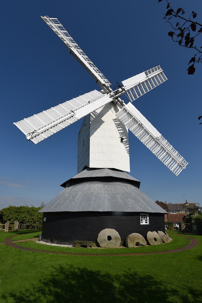
Windmill Hill Mill, Herstmonceux
Windmill Hill Mill is a grade II* listed post mill at Herstmonceux, Sussex, England which has been restored and now operates as a working mill. The mill...

Windmill Hill, East Sussex
Windmill Hill is a village in the civil parish of Herstmonceux, in the Wealden district of East Sussex, England. In 2020 it had an estimated population...

Herstmonceux Park
Herstmonceux Park is a 4.3-hectare (11-acre) biological Site of Special Scientific Interest south of Herstmonceux in East Sussex.This narrow stream valley...

Herstmonceux Free Church
Herstmonceux Free Church is a congregational chapel located in Herstmonceux, East Sussex. It was initially constructed at its site on Chapel Row in 1811...

England's Medieval Festival
England's Medieval Festival is a medieval-themed festival held over the August bank holiday at, Pippingford Park in Sussex, England. Held over three days...
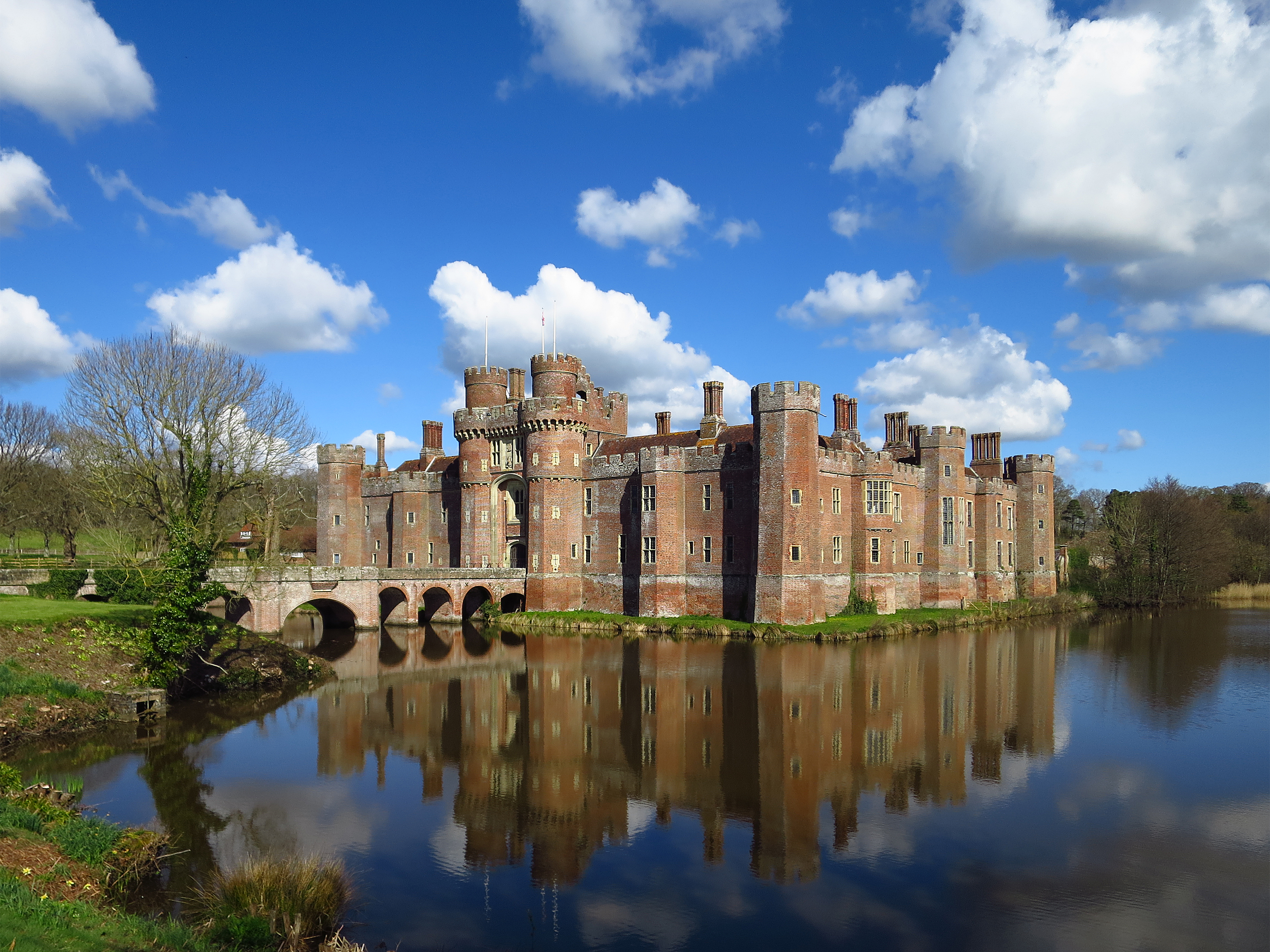
Herstmonceux Castle
Herstmonceux Castle is a brick-built castle, dating from the 15th century, near Herstmonceux, East Sussex, England. It is one of the oldest significant...
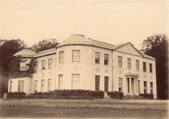
Herstmonceux Place
Herstmonceux Place is an 18th-century country house in Herstmonceux, East Sussex, England. It was divided into apartments in the 1950s. The house stands...
Nearby Amenities
Located within 500m of 50.885294,0.3602141Have you been to Bellhurst Wood?
Leave your review of Bellhurst Wood below (or comments, questions and feedback).