Garden Wood
Wood, Forest in Sussex Rother
England
Garden Wood

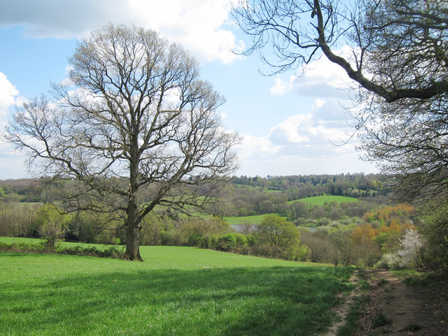
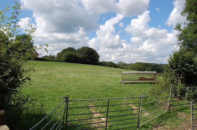
Garden Wood, located in Sussex, England, is a picturesque forest area that offers visitors a tranquil and immersive experience in nature. Covering an expansive area of land, this wood is a haven for wildlife, boasting a diverse range of flora and fauna.
The wood features a dense canopy of trees, predominantly oak, beech, and birch, which provide shade and shelter for the myriad of plants and animals that call this area home. The forest floor is carpeted with a rich layer of moss, ferns, and wildflowers, creating a vibrant and enchanting landscape.
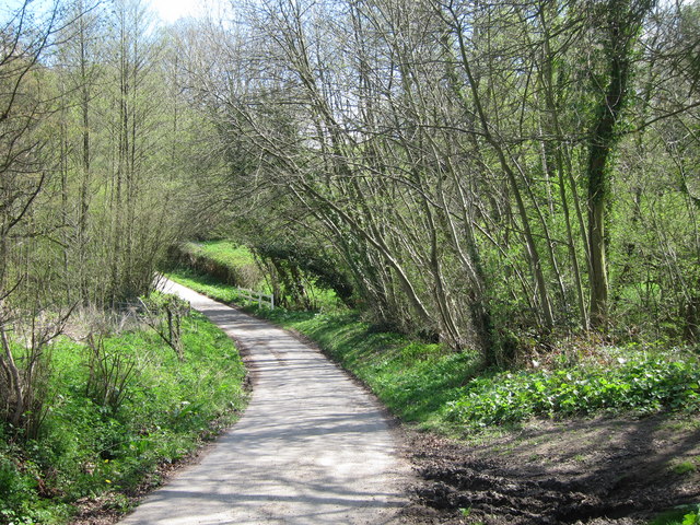
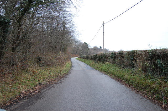
Walking through Garden Wood, visitors will find themselves surrounded by the gentle rustling of leaves and the melodious sounds of birdsong. The air is crisp and fresh, with a distinctive earthy scent that adds to the overall sensory experience.
For those interested in wildlife spotting, Garden Wood offers a wealth of opportunities. Deer can often be seen grazing amongst the trees, while squirrels scurry along branches and small mammals scuttle through the undergrowth. Birdwatchers will delight in the variety of species that inhabit the wood, including woodpeckers, owls, and songbirds.
The wood is also home to a network of well-maintained trails, allowing visitors to explore its beauty at their own pace. These trails meander through the wood, offering glimpses of stunning vistas and secluded clearings. Whether it's a leisurely stroll or a more adventurous hike, Garden Wood has something to offer for everyone.
Overall, Garden Wood in Sussex is a captivating natural sanctuary that provides a welcome escape from the hustle and bustle of everyday life. Its beauty and tranquility make it a must-visit destination for nature enthusiasts and those seeking a peaceful retreat.
If you have any feedback on the listing, please let us know in the comments section below.
Garden Wood Images
Images are sourced within 2km of 51.057097/0.36851335 or Grid Reference TQ6631. Thanks to Geograph Open Source API. All images are credited.


Garden Wood is located at Grid Ref: TQ6631 (Lat: 51.057097, Lng: 0.36851335)
Administrative County: East Sussex
District: Rother
Police Authority: Sussex
What 3 Words
///schooling.dummy.shelving. Near Wadhurst, East Sussex
Nearby Locations
Related Wikis
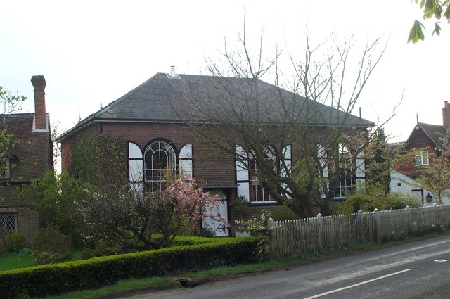
Shover's Green Baptist Chapel
Shover's Green Baptist Chapel is a former Strict Baptist place of worship in the hamlet of Shover's Green in East Sussex, England. Shover's Green is in...

Uplands Academy
Uplands Academy (formerly Uplands Community College) is a coeducational secondary school and sixth form located in Wadhurst, East Sussex, England. ��2...

Ticehurst House Hospital
Ticehurst House Hospital was a mental health facility. It opened in 1792 and was owned and run by five generations of members of the Newington family until...

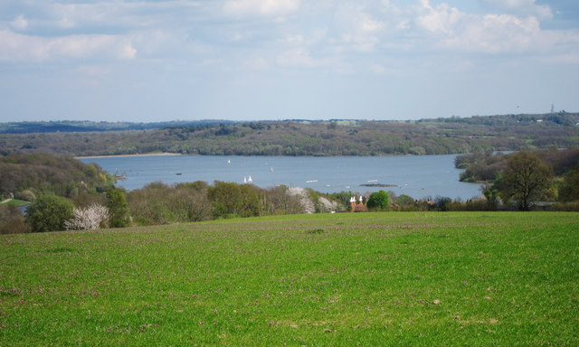
Bewl Water
Bewl Water is a reservoir in the valley of the River Bewl, straddling the boundary between Kent and East Sussex in England. It is about 2 miles (3.2 km...
Related Videos

Wadhurst Wanderlust: Top Hiking Trails Along the Sussex Border Path | UK Walking Tours 🇬🇧
Join us as we explore the best hiking trails near Wadhurst along the legendary Sussex Border Path. Known for its stunning ...

A Hiking Adventure: Bewl Water
Join me as I hike the 20.9km Bewl Water Circular near Ticehurst, East Sussex. It is generally considered a moderately challenging ...

Wadhurst via Bewl Water: Scenic Circular Walk | UK Walking Tours 🇬🇧
Join us as we explore the beautiful countryside of Wadhurst on a circular walk via Bewl Water, one of the largest areas of inland ...

Hike around Bewl Water
A walk around Bewl Water with Chris. Around 21 km (12.5 miles) of great views and weather, as well as Chris sprinkling some ...
Nearby Amenities
Located within 500m of 51.057097,0.36851335Have you been to Garden Wood?
Leave your review of Garden Wood below (or comments, questions and feedback).