Carter's Wood
Wood, Forest in Norfolk King's Lynn and West Norfolk
England
Carter's Wood

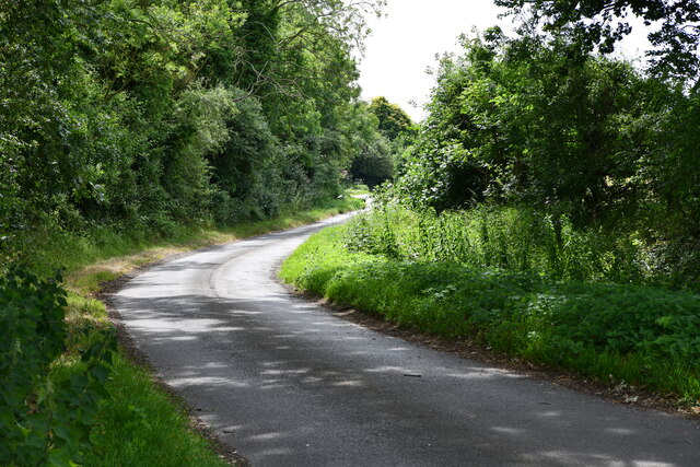
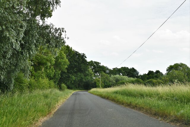
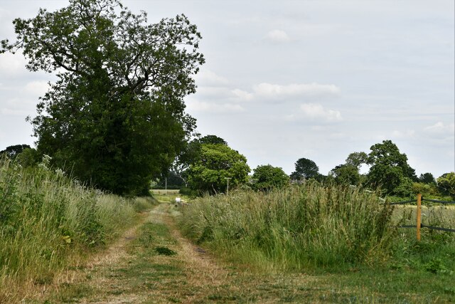
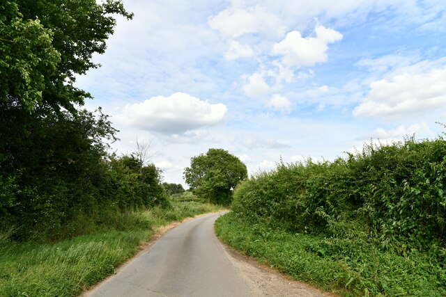
Carter's Wood is a picturesque forest located in Norfolk, England. Covering an area of approximately 100 acres, it is a popular destination for nature enthusiasts and outdoor lovers alike. The wood is situated in a rural setting, surrounded by rolling hills and meadows, creating a serene and tranquil atmosphere.
The forest is primarily composed of deciduous trees, including oak, beech, and birch, which provide a rich and diverse habitat for a wide range of wildlife. Visitors can expect to encounter various species of birds, small mammals, and insects as they explore the wood's numerous walking trails.
Carter's Wood offers a variety of recreational activities for visitors to enjoy. There are well-maintained paths for walking, jogging, or cycling, allowing visitors to immerse themselves in the natural beauty of the surroundings. The forest also features several picnic areas, perfect for enjoying a peaceful meal amidst the greenery.
The wood is open to the public year-round, with no admission fee required. It is managed by the local council, ensuring its preservation and maintenance for future generations to enjoy. Facilities such as parking and restroom facilities are available to accommodate visitors.
Overall, Carter's Wood is a delightful destination for those seeking a peaceful retreat in nature. Its lush vegetation, diverse wildlife, and well-kept trails make it an ideal location for a leisurely stroll, a family picnic, or simply to escape the hustle and bustle of everyday life.
If you have any feedback on the listing, please let us know in the comments section below.
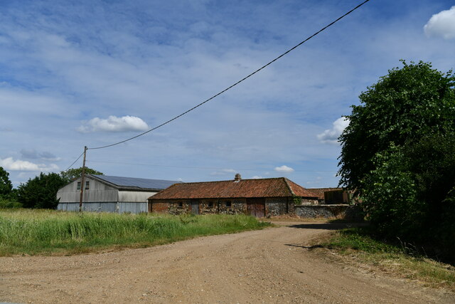
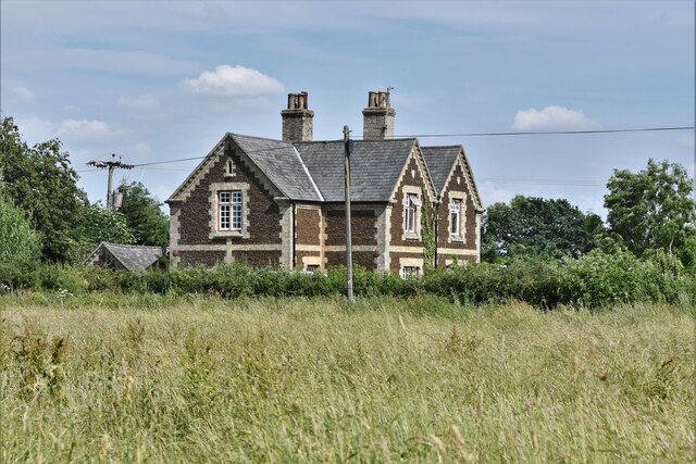
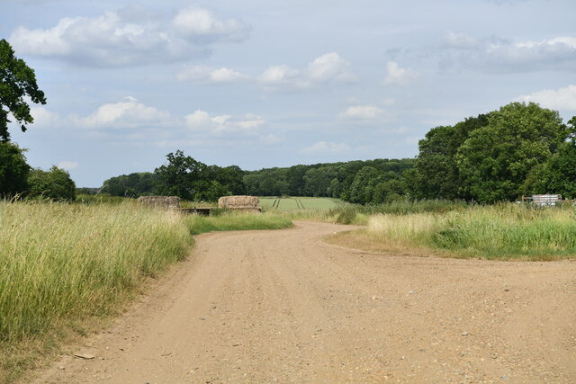
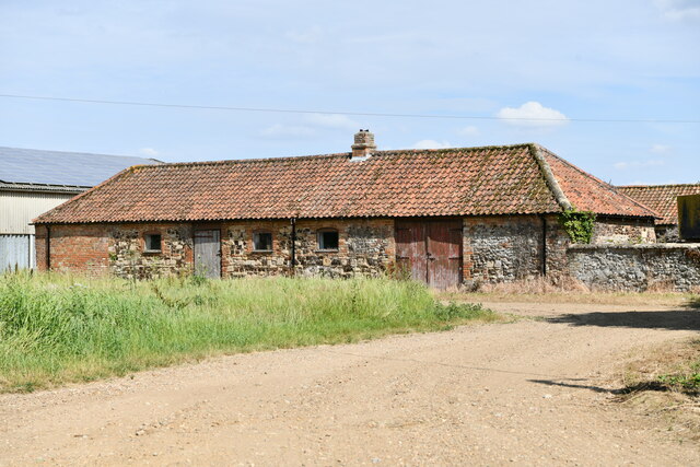
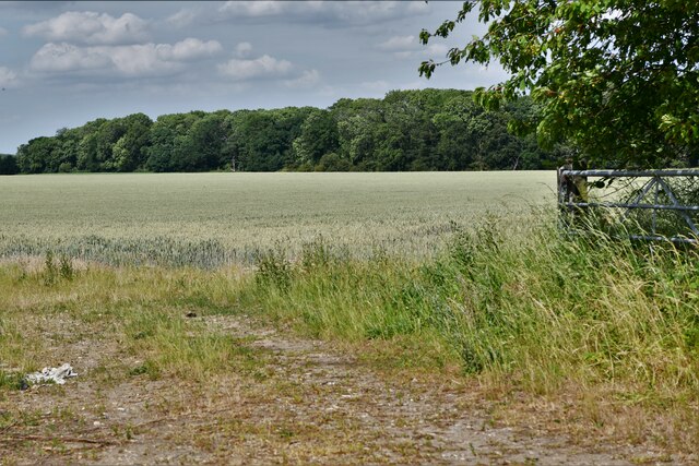
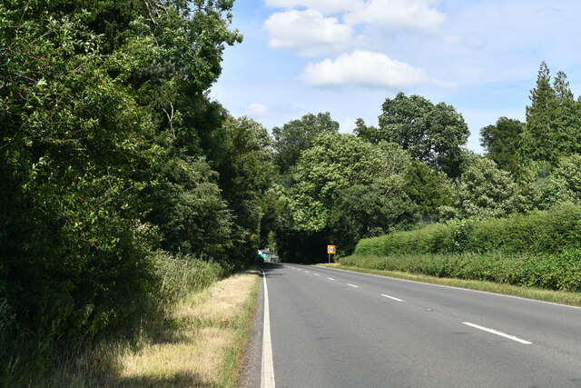
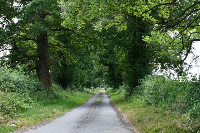
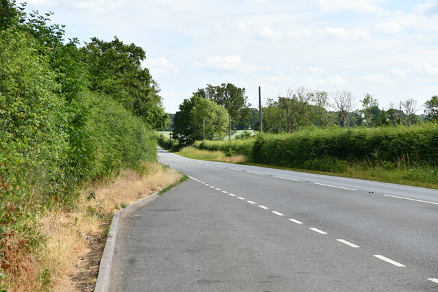
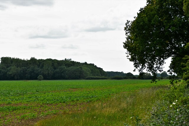
Carter's Wood Images
Images are sourced within 2km of 52.632503/0.44929367 or Grid Reference TF6506. Thanks to Geograph Open Source API. All images are credited.


Carter's Wood is located at Grid Ref: TF6506 (Lat: 52.632503, Lng: 0.44929367)
Administrative County: Norfolk
District: King's Lynn and West Norfolk
Police Authority: Norfolk
What 3 Words
///talent.forgets.tightrope. Near Downham Market, Norfolk
Nearby Locations
Related Wikis

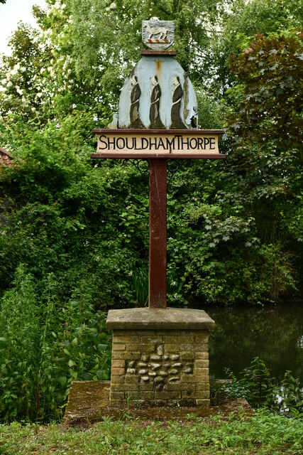
Shouldham Thorpe
Shouldham Thorpe is a village and civil parish in the English county of Norfolk. It covers an area of 5.87 km2 (2.27 sq mi) and had a population of 157...

Stradsett
Stradsett is a village and civil parish in the English county of Norfolk The village is 40.8 miles (65.7 km) west of Norwich, 11.3 miles (18.2 km) south...

Fincham
Fincham is a village and civil parish the English county of Norfolk. The village is located 9.4 miles (15.1 km) south of King's Lynn and 34 miles (55 km...
Shouldham
Shouldham is a village and civil parish in the English county of Norfolk. It covers an area of 16.04 km2 (6.19 sq mi) and had a population of 608 in 246...

Crimplesham
Crimplesham is a village and civil parish in the English county of Norfolk. It is situated 2.5 miles (4.0 km) east of the small town of Downham Market...

Stow Bardolph
Stow Bardolph, sometimes simply referred to as Stow, is an estate and civil parish in the English county of Norfolk, lying between King's Lynn and Downham...

RAF Downham Market
Royal Air Force Downham Market, or more simply RAF Downham Market, was a Royal Air Force station in the west of the county of Norfolk, England which operated...

Winnold House
Winnold House, formerly the Benedictine Priory of St Winwaloe, is a country house in the parish of Wereham in Norfolk, England. The house is constructed...
Nearby Amenities
Located within 500m of 52.632503,0.44929367Have you been to Carter's Wood?
Leave your review of Carter's Wood below (or comments, questions and feedback).