Bushey Wood
Wood, Forest in Essex Chelmsford
England
Bushey Wood
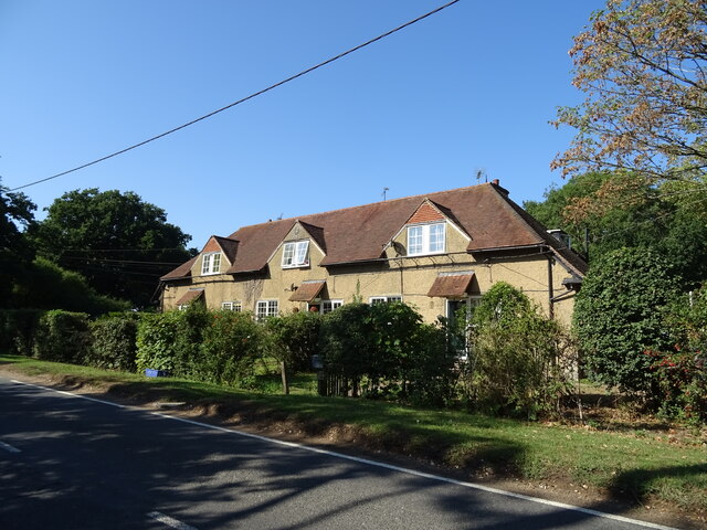
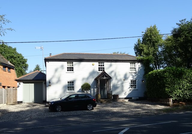
Bushey Wood is a picturesque woodland located in the county of Essex, England. Situated near the village of Woodham Ferrers, this natural gem covers an area of approximately 45 hectares. The wood is primarily composed of ancient oak trees, although other species such as birch, beech, and hornbeam also thrive in this ecological haven.
As one explores Bushey Wood, they are greeted by a diverse and vibrant array of flora and fauna. The woodland floor is carpeted with bluebells during the spring months, creating a stunning and fragrant display. The area is also home to a variety of wildlife, including deer, foxes, and a wide range of bird species. Nature enthusiasts will delight in the opportunity to observe and appreciate the rich biodiversity that thrives within the wood.
Visitors to Bushey Wood can enjoy a tranquil and serene atmosphere, making it an ideal location for peaceful walks, picnics, and nature photography. The wood is crisscrossed with well-maintained footpaths, allowing visitors to explore its beauty at their leisure. The canopy of trees provides ample shade during the summer months, offering a cool respite from the heat.
Furthermore, Bushey Wood holds significant historical value. It is believed that the wood has existed for centuries, with evidence of human activity dating back to the Iron Age. The wood has also played a part in local folklore and legends, adding an intriguing and mystical element to its appeal.
In conclusion, Bushey Wood in Essex is a breathtaking natural sanctuary, offering visitors an opportunity to immerse themselves in the splendor of ancient woodlands. With its rich biodiversity, peaceful ambiance, and historical significance, it is a must-visit destination for nature enthusiasts and those seeking a tranquil escape.
If you have any feedback on the listing, please let us know in the comments section below.
Bushey Wood Images
Images are sourced within 2km of 51.687386/0.39561734 or Grid Reference TL6501. Thanks to Geograph Open Source API. All images are credited.


Bushey Wood is located at Grid Ref: TL6501 (Lat: 51.687386, Lng: 0.39561734)
Administrative County: Essex
District: Chelmsford
Police Authority: Essex
What 3 Words
///needed.banana.rats. Near Ingatestone, Essex
Nearby Locations
Related Wikis
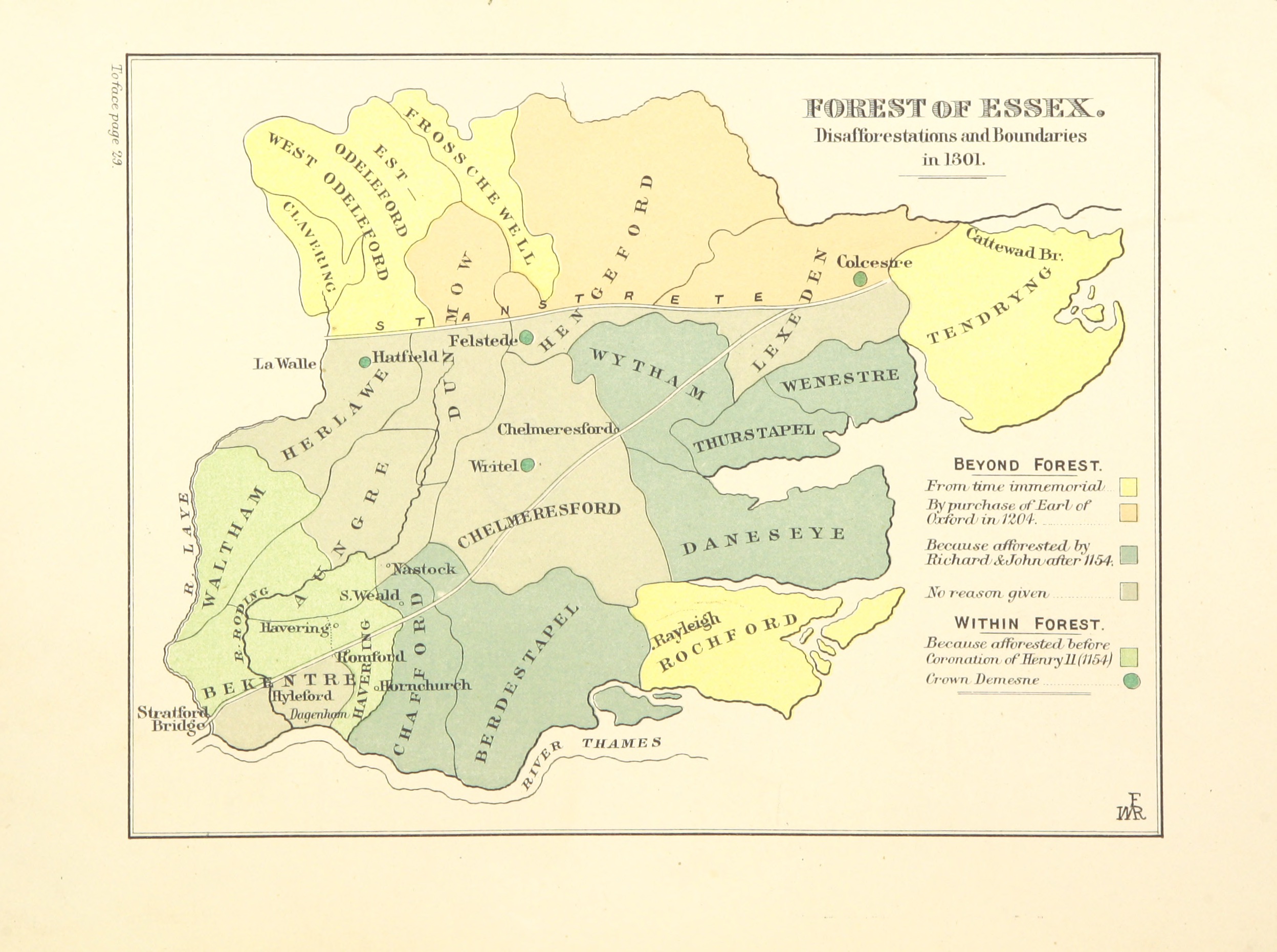
Forest of Essex
The Forest of Essex was a royal forest that existed from around 1100 and was disestablished in the 13th century. Forests were legal institutions introduced...
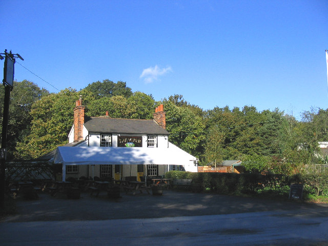
The Viper, Mill Green
The Viper is a public house at The Common, Mill Green, Essex, CM4 0PT. It is on the Campaign for Real Ale's National Inventory of Historic Pub Interiors...

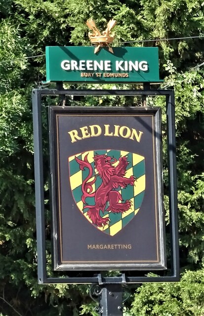
Margaretting
Margaretting is a village and civil parish in the Chelmsford district, in the county of Essex, England. The population of the village taken at the 2011...
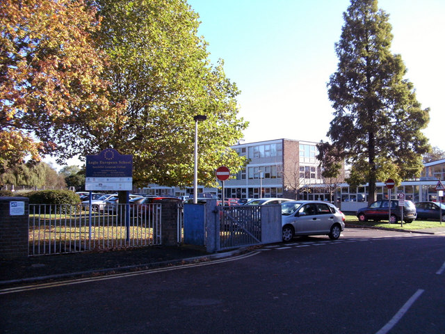
Anglo European School
Anglo European School is a self-governing, co-educational international academy school situated in Ingatestone, Essex. It is a school for boys and girls...
Nearby Amenities
Located within 500m of 51.687386,0.39561734Have you been to Bushey Wood?
Leave your review of Bushey Wood below (or comments, questions and feedback).