Bluntswall Shaws
Wood, Forest in Essex Basildon
England
Bluntswall Shaws
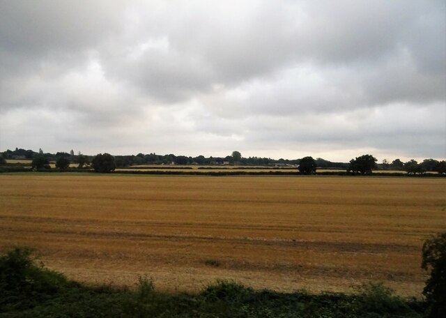
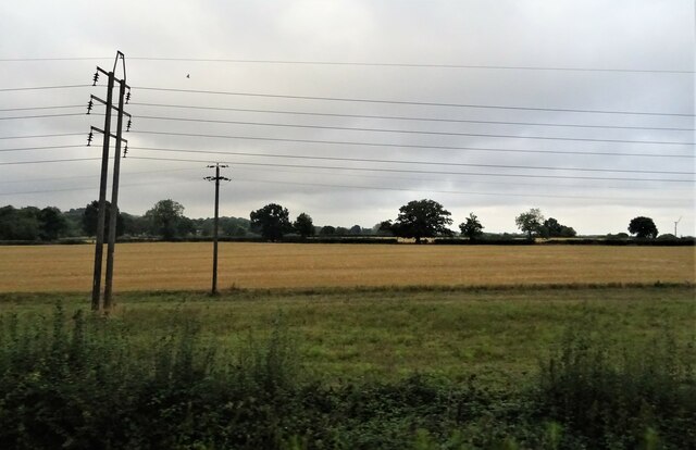
Bluntswall Shaws is a charming woodland located in Essex, England. Situated in the heart of the county, this forested area offers visitors a tranquil and picturesque escape from the bustling city life. Covering an area of approximately 200 acres, it is a popular destination for nature enthusiasts and those seeking outdoor recreational activities.
The woodland is known for its diverse range of trees, including oak, beech, and birch, which create a stunning canopy of foliage throughout the year. This lush vegetation provides a haven for various wildlife species, making it an ideal spot for birdwatching and wildlife photography. Visitors may be lucky enough to spot species such as deer, foxes, and a variety of birds while exploring the forest.
Bluntswall Shaws offers a network of well-maintained walking trails, allowing visitors to fully immerse themselves in the natural beauty of the area. These trails cater to all levels of fitness and provide opportunities for both leisurely strolls and more challenging hikes. The forest also boasts picnic areas, where visitors can relax and enjoy a meal amidst the peaceful surroundings.
Furthermore, Bluntswall Shaws is blessed with historical significance. The woodland is believed to have been utilized for timber production during the medieval period, and remnants of this past can still be seen in the form of ancient tree stumps and earthworks.
Overall, Bluntswall Shaws, Essex, is a picturesque woodland that offers a blend of natural beauty, wildlife, and historical charm. It is a must-visit destination for anyone seeking a peaceful and rejuvenating experience in the heart of the Essex countryside.
If you have any feedback on the listing, please let us know in the comments section below.
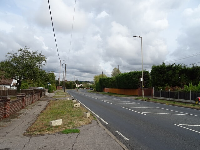
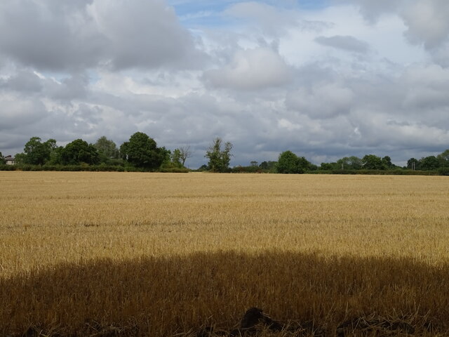
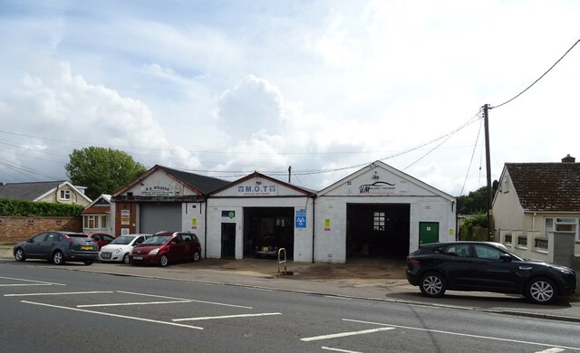
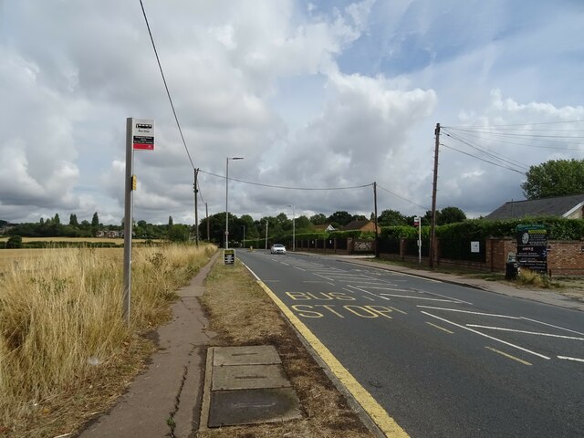
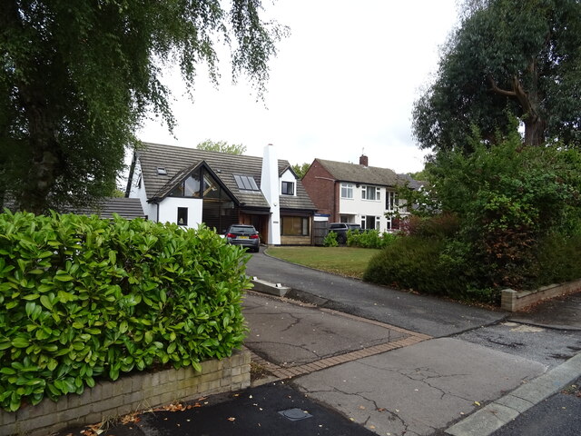
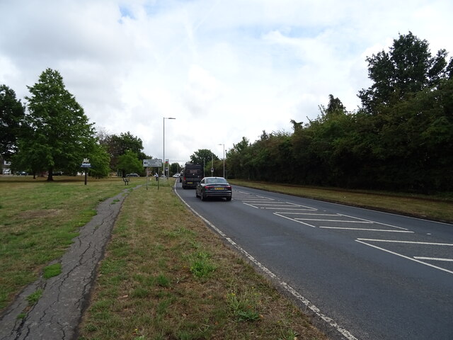
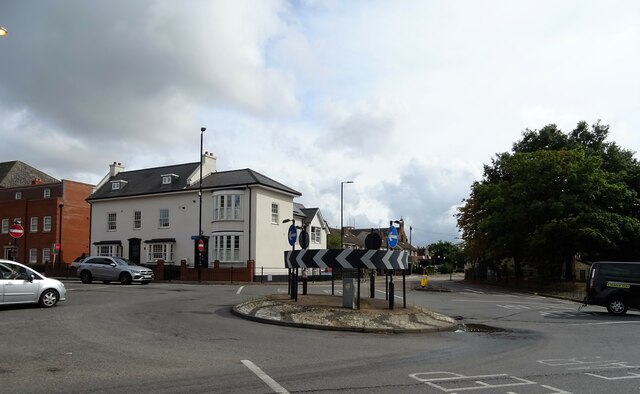
Bluntswall Shaws Images
Images are sourced within 2km of 51.616645/0.38954916 or Grid Reference TQ6593. Thanks to Geograph Open Source API. All images are credited.


Bluntswall Shaws is located at Grid Ref: TQ6593 (Lat: 51.616645, Lng: 0.38954916)
Administrative County: Essex
District: Basildon
Police Authority: Essex
What 3 Words
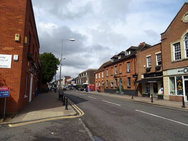
///wing.horn.fetch. Near Billericay, Essex
Nearby Locations
Related Wikis
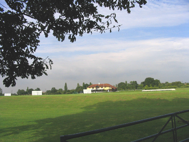
Toby Howe Cricket Ground
Toby Howe Cricket Ground is a cricket ground in Billericay, Essex. The first recorded match on the ground was in 1999, when Billericay Cricket Club played...

Hutton F.C.
Hutton Football Club is a football club based in Hutton, England. They are currently members of the Eastern Counties League Division One South and play...
Billericay Town F.C.
Billericay Town Football Club is a football club based in Billericay, Essex, England. The club are currently members of the Isthmian League Premier Division...

Havering's Grove
51.6269°N 0.3890°E / 51.6269; 0.3890 Havering’s Grove is a village in Essex, most of which lies in the Borough of Brentwood, with part in the Borough...
Billericay Rural District
Billericay Rural District was a local government district in Essex, England from 1894 to 1934. It consisted of the following parishes: Basildon Brentwood...

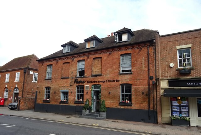
Old Town Hall, Billericay
The Old Town Hall is a municipal building in the High Street, Billericay, Essex, England. The structure, which currently operates as a restaurant, was...
The Billericay School
The Billericay School is an academy secondary school and sixth form college located in Billericay, England. The school is led by headmaster Patrick Berry...

Cater Museum
The Cater Museum is a small local museum in Billericay, Essex county, England. The museum was established by Alice May Cater, in honour of her late husband...
Nearby Amenities
Located within 500m of 51.616645,0.38954916Have you been to Bluntswall Shaws?
Leave your review of Bluntswall Shaws below (or comments, questions and feedback).