Homefield Shaw
Wood, Forest in Kent Gravesham
England
Homefield Shaw
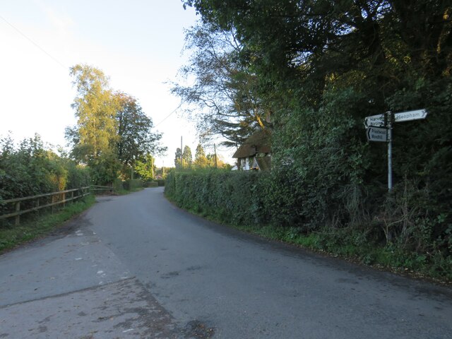
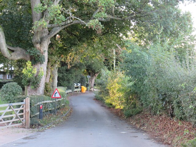
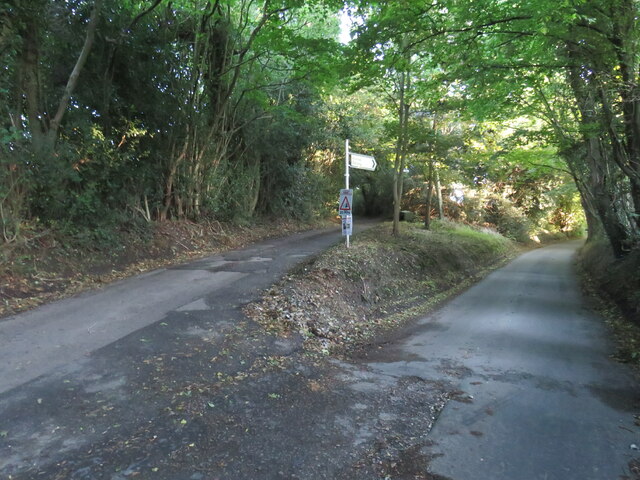
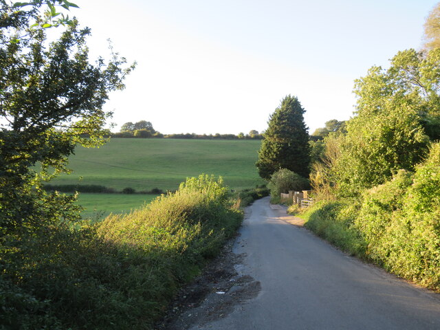
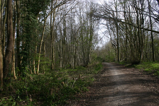
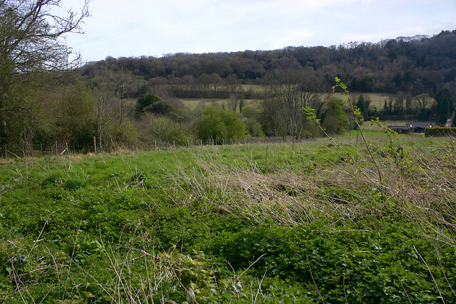
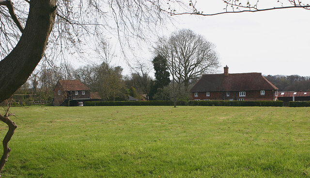
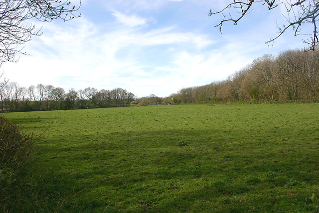
Homefield Shaw is a picturesque woodland located in Kent, England. Situated in the charming village of Wood, Forest, it spans an area of approximately 50 acres, making it an ideal destination for nature lovers and outdoor enthusiasts. The woodland is known for its tranquil atmosphere, offering visitors a peaceful retreat away from the hustle and bustle of city life.
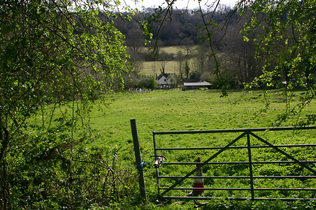
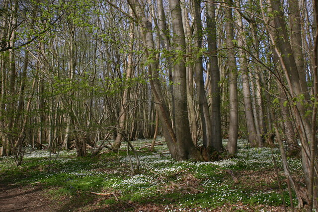
Homefield Shaw is home to a diverse range of flora and fauna, with ancient oak trees dominating the landscape. The woodland floor is covered in a carpet of wildflowers, providing a vibrant burst of color during the spring and summer months. Visitors can also spot various species of birds, including woodpeckers and songbirds, making it a popular spot for birdwatching.
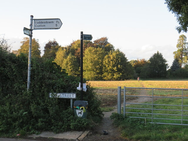
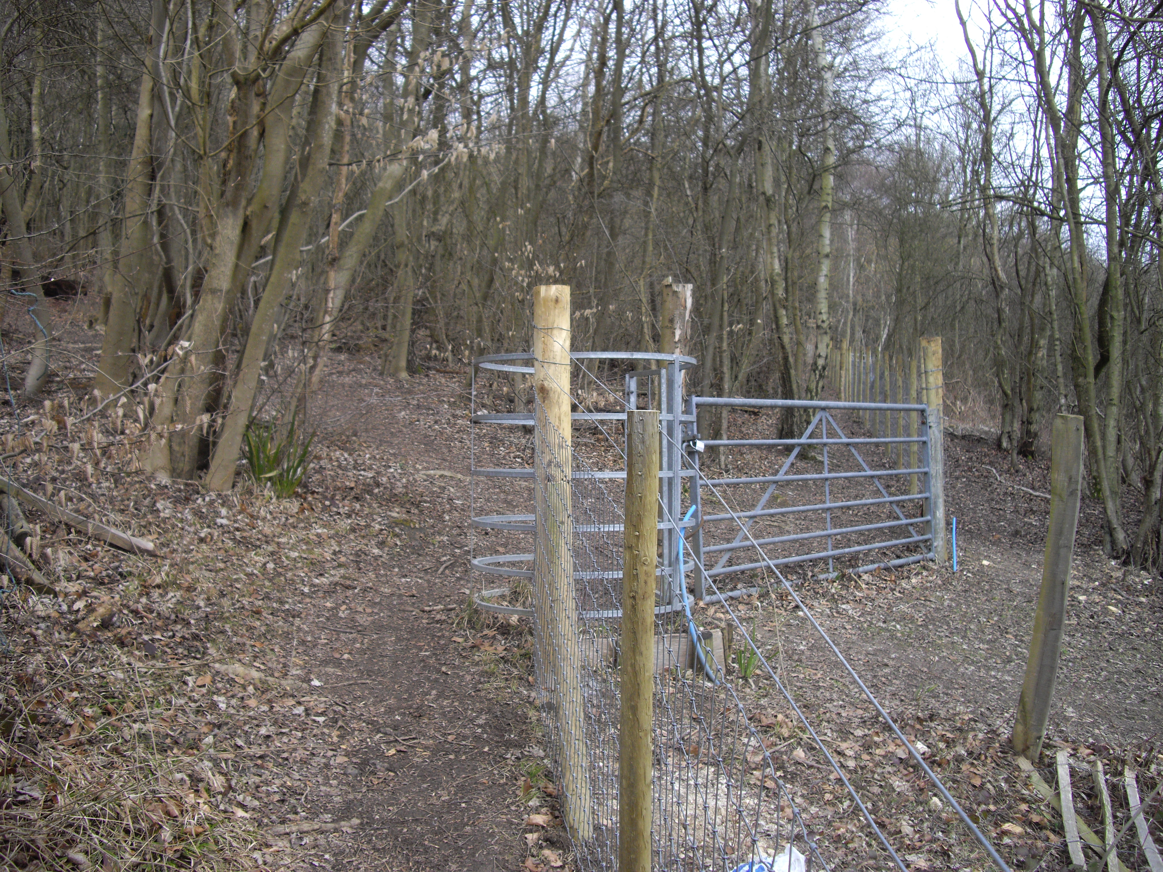
The woodland features well-maintained footpaths and trails, allowing visitors to explore its natural beauty at their own pace. These paths wind through the trees, providing ample opportunities for hiking, jogging, or simply enjoying a leisurely stroll. Homefield Shaw also offers a designated picnic area, perfect for families and friends to enjoy a day out surrounded by nature.
In addition to its natural beauty, Homefield Shaw is also steeped in history. It is believed to have been a part of the ancient woodlands that once covered much of the region. The woodland has been carefully preserved and protected, ensuring that future generations can continue to enjoy its beauty and serenity.
Overall, Homefield Shaw in Wood, Forest, Kent is a stunning woodland that offers a peaceful retreat for nature enthusiasts. With its diverse range of flora and fauna, well-maintained trails, and rich history, it is a must-visit destination for anyone seeking a connection with nature in the heart of the English countryside.
If you have any feedback on the listing, please let us know in the comments section below.
Homefield Shaw Images
Images are sourced within 2km of 51.355131/0.37315533 or Grid Reference TQ6564. Thanks to Geograph Open Source API. All images are credited.
Homefield Shaw is located at Grid Ref: TQ6564 (Lat: 51.355131, Lng: 0.37315533)
Administrative County: Kent
District: Gravesham
Police Authority: Kent
What 3 Words
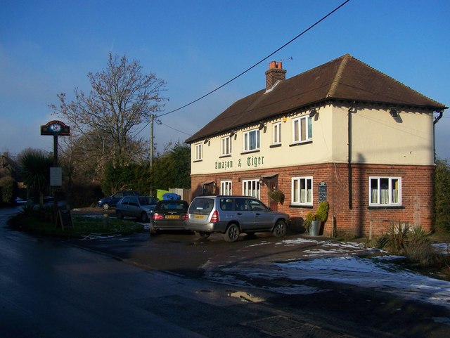
///solve.fall.faster. Near Meopham, Kent
Nearby Locations
Related Wikis

Meopham air disaster
The Meopham Air Disaster occurred on 21 July 1930 when a Junkers F.13ge flying from Le Touquet to Croydon with two crew and four passengers crashed near...
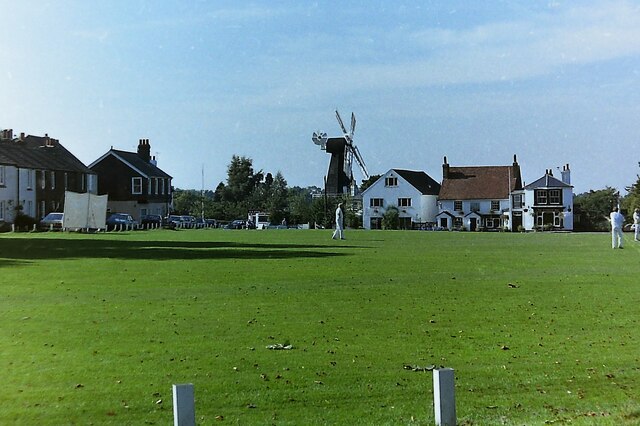
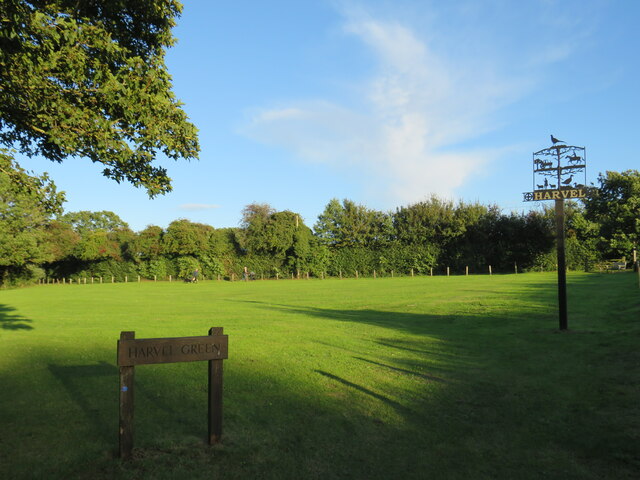
Harvel
Harvel is a village in the civil parish of Meopham in the west of the county of Kent, England. It is sited on the southern edge of the North Downs. The...

Meopham
Meopham is a large linear village and civil parish in the Borough of Gravesham in north-west Kent, England, lying to the south of Gravesend. The parish...

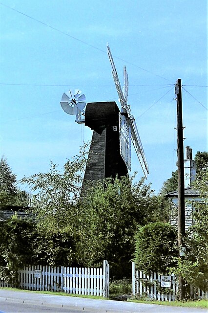
Killick's Mill, Meopham
Killick's Mill is a Grade II* listed smock mill in Meopham, Kent, England that was built in 1801 and which has been restored. == History == Killick's...
Dode, Kent
Dode (in Old English, Dowde) was a village in England that was wiped out by the Black Death in 1349. All that remains is the deconsecrated church, which...

Meopham School
Meopham School is a Coeducational secondary school with approximately 950 students, located in Meopham, Kent, England, UK. The school is non-selective...
Halling to Trottiscliffe Escarpment
Halling to Trottiscliffe Escarpment is a 600.6-hectare (1,484-acre) biological Site of Special Scientific Interest which runs from Cuxton to Wrotham, west...

Camer Park Country Park
Camer Country Park is in Meopham, in Kent, England. It is a former estate landscape, with grassland and woodland. == History == This park was originally...
Nearby Amenities
Located within 500m of 51.355131,0.37315533Have you been to Homefield Shaw?
Leave your review of Homefield Shaw below (or comments, questions and feedback).