Bushy Grove

Wood, Forest in Cambridgeshire East Cambridgeshire

England

Bushy Grove

Bluebells in Basefield Wood
Bluebells in Basefield Wood Credit: Hugh Venables

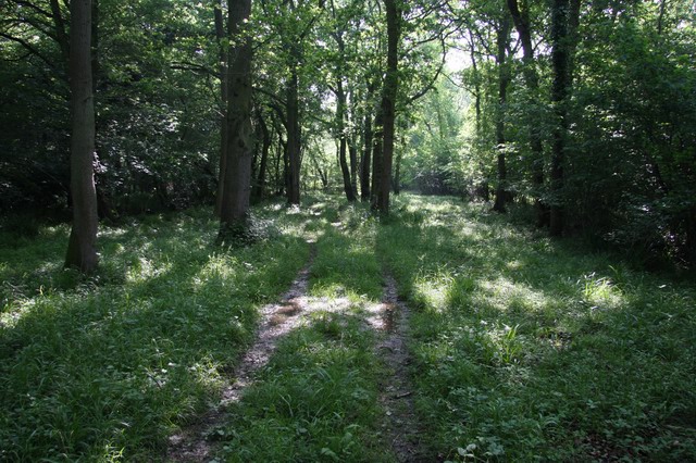
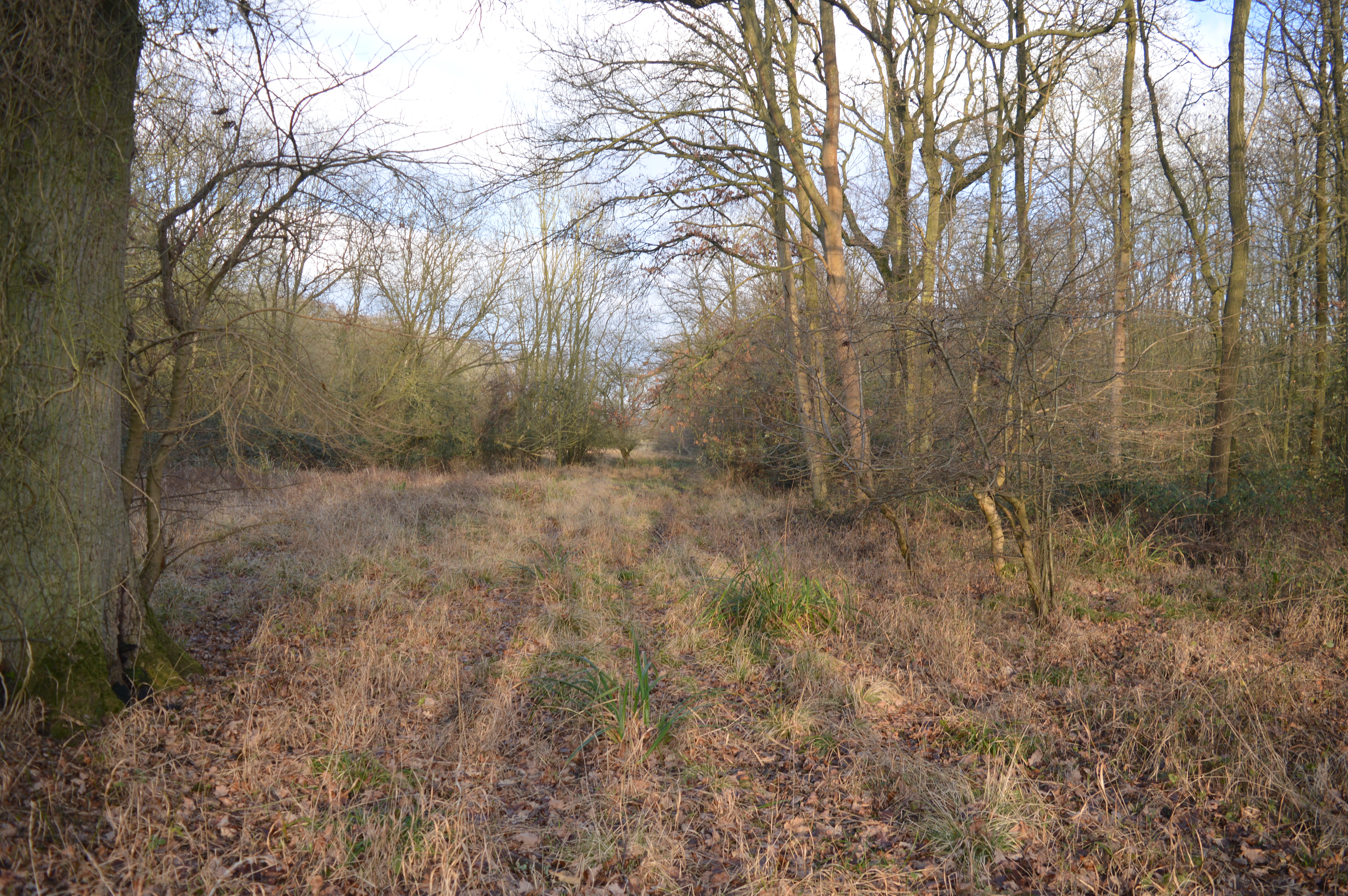
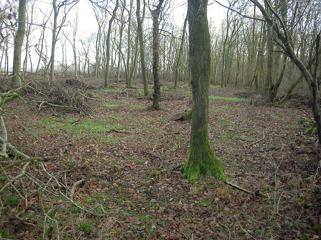
Bushy Grove is a picturesque woodland located in the county of Cambridgeshire, England. Situated in the eastern region of the county, it covers an area of approximately 50 acres and is renowned for its dense and diverse forest. The grove is predominantly composed of deciduous trees, including oak, beech, and birch, which create a lush and verdant canopy throughout the year.

The woodland is a haven for wildlife, providing a habitat for numerous species of birds, mammals, and insects. Visitors to Bushy Grove may encounter a variety of woodland creatures, such as deer, foxes, rabbits, and squirrels, as well as a rich assortment of birdlife including woodpeckers, thrushes, and owls. The grove's tranquil and secluded nature makes it an ideal location for birdwatching and nature enthusiasts.

In addition to its natural beauty, Bushy Grove offers several walking trails and footpaths that allow visitors to explore its diverse landscape. These trails meander through the forest, leading visitors through ancient trees, over babbling streams, and past vibrant wildflowers. The grove's paths are well-maintained and accessible, making it an ideal location for leisurely strolls, family outings, and nature photography.

Bushy Grove is a popular destination for locals and tourists alike, offering a serene escape from the hustle and bustle of urban life. Its natural beauty, abundant wildlife, and peaceful ambiance make it an enchanting woodland retreat in the heart of Cambridgeshire.

If you have any feedback on the listing, please let us know in the comments section below.
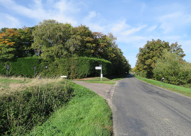
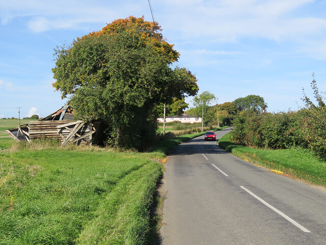
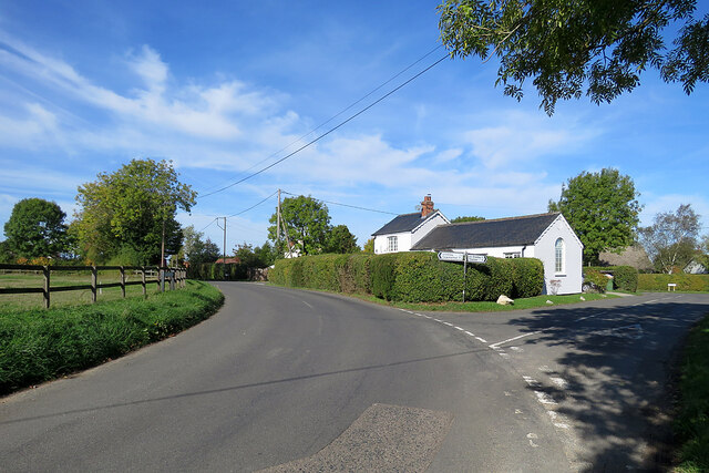
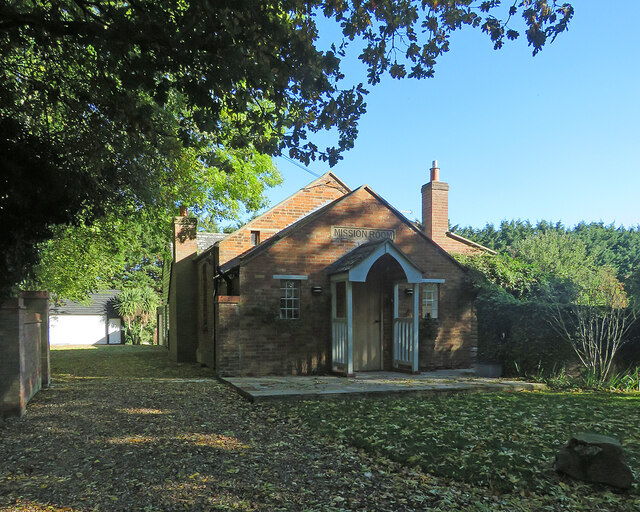
Bushy Grove Images

Images are sourced within 2km of 52.168066/0.41575791 or Grid Reference TL6554. Thanks to Geograph Open Source API. All images are credited.

Bluebells in Basefield Wood
Field by Basefield Wood
Field by Stour Valley Path
Path by Ten Wood
Path by Ten Wood
Turn left for Willingham Green A turn off the road from Carlton to Brinkley (ahead), photographed on a sunny morning in early autumn.
Turn left for Willingham Green
A turn off the road from Carlton to Brinkley (ahead), photographed on a sunny morning in early autumn.
Collapsed shed, fallen apples, pink cottages and a red car Near Raynor's Bridge on the undulating road from Carlton to Brinkley (ahead). The pink row is Little Low Cottages.

Keith Edkins was here in 2018: <a href="https://www.geograph.org.uk/photo/5922622">TL6353 : Old shed at Raynor Bridge</a>.
Collapsed shed, fallen apples, pink cottages and a red car
Near Raynor's Bridge on the undulating road from Carlton to Brinkley (ahead). The pink row is Little Low Cottages. Keith Edkins was here in 2018: TL6353 : Old shed at Raynor Bridge.
Carlton: a cottage on Brinkley Road In the valley of the River Stour, which rises on nearby Wratting Common. The original parts of the Grade II listed cottage were built in the 18th century.
Carlton: a cottage on Brinkley Road
In the valley of the River Stour, which rises on nearby Wratting Common. The original parts of the Grade II listed cottage were built in the 18th century.
Carlton Hill: across the Stour Valley John Constable's Stour is a Suffolk river, but it rises not far from here, at Wratting Common near Weston Colville in the hills of East Cambridgeshire and reaches the sea at Manningtree in Essex. <a href="https://www.geograph.org.uk/photo/7307887">TL6453 : Carlton: a cottage on Brinkley Road</a> is a closer look at the house in the centre middle distance.
Carlton Hill: across the Stour Valley
John Constable's Stour is a Suffolk river, but it rises not far from here, at Wratting Common near Weston Colville in the hills of East Cambridgeshire and reaches the sea at Manningtree in Essex. TL6453 : Carlton: a cottage on Brinkley Road is a closer look at the house in the centre middle distance.
Carlton: former school and school house This is where Church Road, Brinkley Road (left) and Acre Road (right) meet. The picture was taken on a sunny October morning when only some trees' leaves had changed colour.
Carlton: former school and school house
This is where Church Road, Brinkley Road (left) and Acre Road (right) meet. The picture was taken on a sunny October morning when only some trees' leaves had changed colour.
Dullingham Ley: former Mission Room Now a house, in a hamlet half way down a dead-end lane serving a number of stud farms.
Dullingham Ley: former Mission Room
Now a house, in a hamlet half way down a dead-end lane serving a number of stud farms.
Houses at Dullingham Leys A hamlet on a dead-end lane which serves a number of stud farms.
Houses at Dullingham Leys
A hamlet on a dead-end lane which serves a number of stud farms.
Barns near Dullingham Ley Stud This dead-end lane in East Cambridgeshire, south of Newmarket, serves a number of stud farms.
Barns near Dullingham Ley Stud
This dead-end lane in East Cambridgeshire, south of Newmarket, serves a number of stud farms.
Between Widgham Farm and Dullingham Leys This dead-end lane, largely tree-lined, serves isolated houses and stud farms in the horse-racing country south of Newmarket.
Between Widgham Farm and Dullingham Leys
This dead-end lane, largely tree-lined, serves isolated houses and stud farms in the horse-racing country south of Newmarket.
Brook Farm This dead-end lane, largely tree-lined, serves isolated houses and stud farms in the horse-racing country south of Newmarket.
Brook Farm
This dead-end lane, largely tree-lined, serves isolated houses and stud farms in the horse-racing country south of Newmarket.
The end of the road at Widgham Green The twisting single-track lane from Dullingham, which serves isolated houses and stud farms in the horse-racing country south of Newmarket, ends here, at the gates of Widgham Park.
The end of the road at Widgham Green
The twisting single-track lane from Dullingham, which serves isolated houses and stud farms in the horse-racing country south of Newmarket, ends here, at the gates of Widgham Park.
Towards Basefield Wood A fine October view from the road from Stetchworth Park Farm to Stetchworth (right).
Towards Basefield Wood
A fine October view from the road from Stetchworth Park Farm to Stetchworth (right).
Towards Stetchworth Ley The road from Stetchworth Park Farm (where the road ends) to Stetchworth on a cloudless October morning.
Towards Stetchworth Ley
The road from Stetchworth Park Farm (where the road ends) to Stetchworth on a cloudless October morning.
New lake near Widgham Green Previously horse paddocks, though there are still plenty of them in the area. Attracting some new wildlife into the generally dry area.
New lake near Widgham Green
Previously horse paddocks, though there are still plenty of them in the area. Attracting some new wildlife into the generally dry area.
Show me another place!

Bushy Grove is located at Grid Ref: TL6554 (Lat: 52.168066, Lng: 0.41575791)

Administrative County: Cambridgeshire

District: East Cambridgeshire

Police Authority: Cambridgeshire

What 3 Words

///resists.guideline.internet. Near Balsham, Cambridgeshire

Related Wikis

Out and Plunder Woods

Out and Plunder Woods is a 38.6-hectare (95-acre) biological Site of Special Scientific Interest between Great Bradley and Burrough Green in Cambridgeshire...

Burrough Green

Burrough Green is a village and parish in Cambridgeshire, England. The population of the village at the 2011 census was 378. The soil is various; subsoil...

Ten Wood

Ten Wood is a 17.7-hectare (44-acre) biological Site of Special Scientific Interest east of Burrough Green in Cambridgeshire.This ancient wood is of the...

Park Wood, Cambridgeshire

Park Wood is an 8.1-hectare (20-acre) biological Site of Special Scientific Interest east of Brinkley in Cambridgeshire.This is woodland of the wet ash/maple...

Carlton Wood

Carlton Wood is a 10.4-hectare (26-acre) biological Site of Special Scientific Interest on the eastern boundary of Cambridgeshire, and west of Great Bradley...

Carlton, Cambridgeshire

Carlton is a village and civil parish near the eastern boundary of the county of Cambridgeshire in the east of England. It is in the district of South...

Great Bradley

Great Bradley is a village and civil parish in the West Suffolk district of Suffolk in eastern England. According to Eilert Ekwall the meaning of the village...

Brinkley, Cambridgeshire

Brinkley is a small village in Cambridgeshire, England. It is situated about 15 miles east of Cambridge and 5 miles south of Newmarket, the horse racing...

Nearby Amenities

Located within 500m of 52.168066,0.41575791
The data included in this document is from www.openstreetmap.org. The data is made available under ODbL.

Have you been to Bushy Grove?

Leave your review of Bushy Grove below (or comments, questions and feedback).