Marlpit Wood
Wood, Forest in Sussex Wealden
England
Marlpit Wood

Marlpit Wood is a picturesque woodland located in the county of Sussex, England. Spread over an area of approximately 20 acres, it is nestled in the heart of the South Downs National Park. The wood is known for its pristine beauty, diverse flora, and tranquil atmosphere, making it a popular destination for nature enthusiasts and hikers.
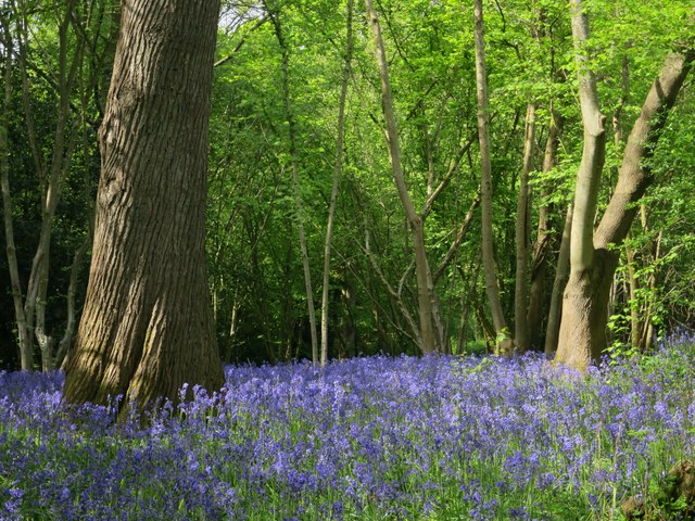
The woodland is primarily composed of native tree species such as oak, beech, and ash, which create a dense canopy overhead. This canopy provides shade and shelter for a variety of wildlife, including deer, foxes, and numerous bird species. The forest floor is covered in a thick carpet of bluebells during the springtime, creating a breathtaking sight for visitors.
Marlpit Wood offers several well-maintained walking trails, allowing visitors to explore its natural wonders at their own pace. These trails wind through the wood, meandering past ancient trees and babbling brooks. Along the way, visitors may encounter wooden benches and picnic areas, providing the perfect opportunity to rest and soak in the tranquil ambiance.
In addition to its natural beauty, Marlpit Wood also has a rich historical background. It is believed that the wood has been in existence for centuries and has witnessed various human activities throughout its history. Archaeological evidence suggests that the wood was once used for charcoal production, and remnants of old charcoal platforms can still be found.
Overall, Marlpit Wood is a delightful destination for those seeking a peaceful escape into nature. Its stunning landscapes, abundant wildlife, and fascinating history make it a must-visit location for anyone exploring Sussex.
If you have any feedback on the listing, please let us know in the comments section below.
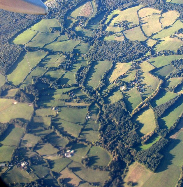
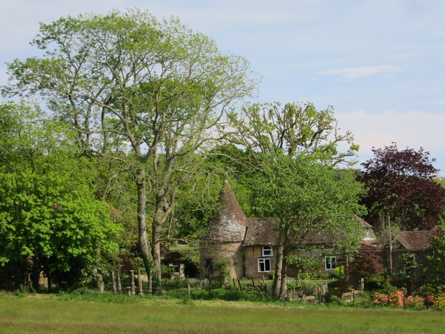
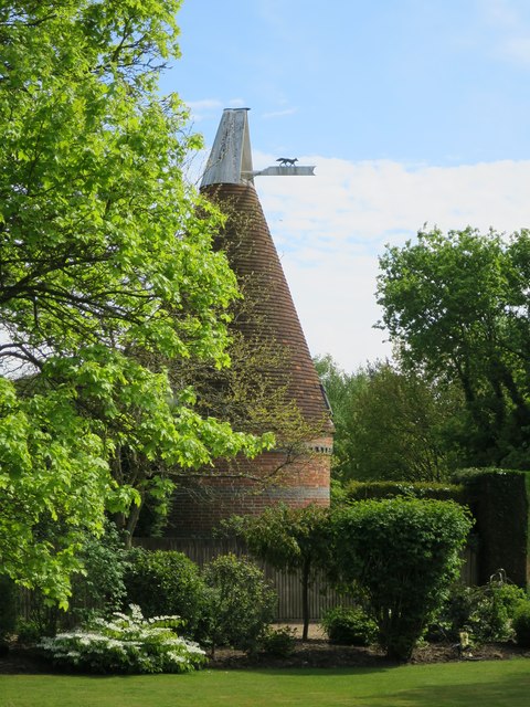
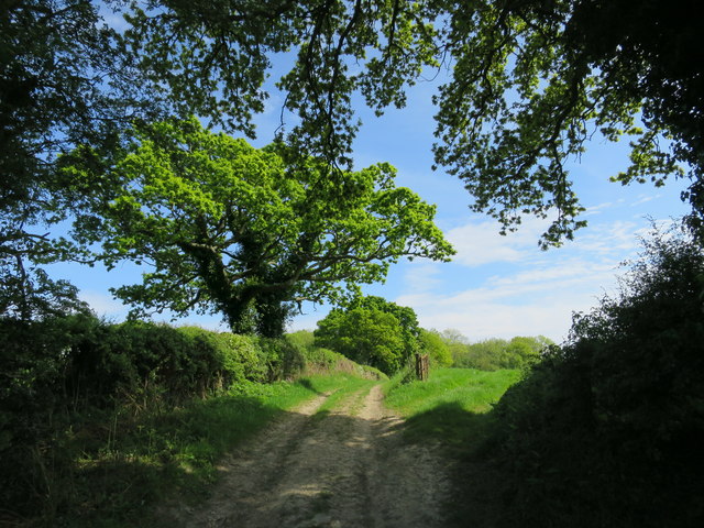
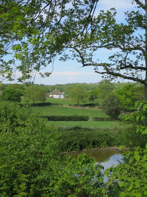
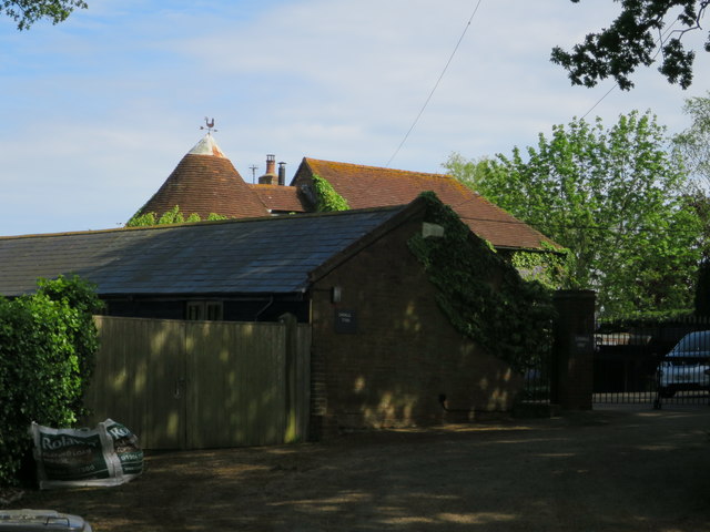
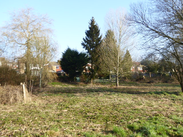
Marlpit Wood Images
Images are sourced within 2km of 50.926008/0.35047738 or Grid Reference TQ6516. Thanks to Geograph Open Source API. All images are credited.


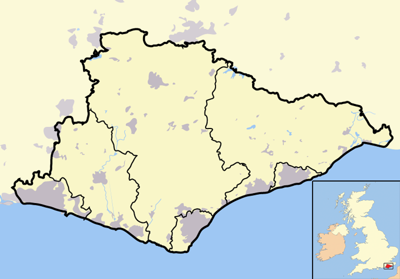
Marlpit Wood is located at Grid Ref: TQ6516 (Lat: 50.926008, Lng: 0.35047738)
Administrative County: East Sussex
District: Wealden
Police Authority: Sussex
What 3 Words
///hairpin.bunk.commended. Near Bodle Street, East Sussex
Nearby Locations
Related Wikis
List of local nature reserves in East Sussex
Local Nature Reserves (LNRs) are designated by local authorities under the National Parks and Access to the Countryside Act 1949. The local authority must...
List of Sites of Special Scientific Interest in East Sussex
In England, Sites of Special Scientific Interest (SSSIs) are designated by Natural England, which is responsible for protecting England's natural environment...
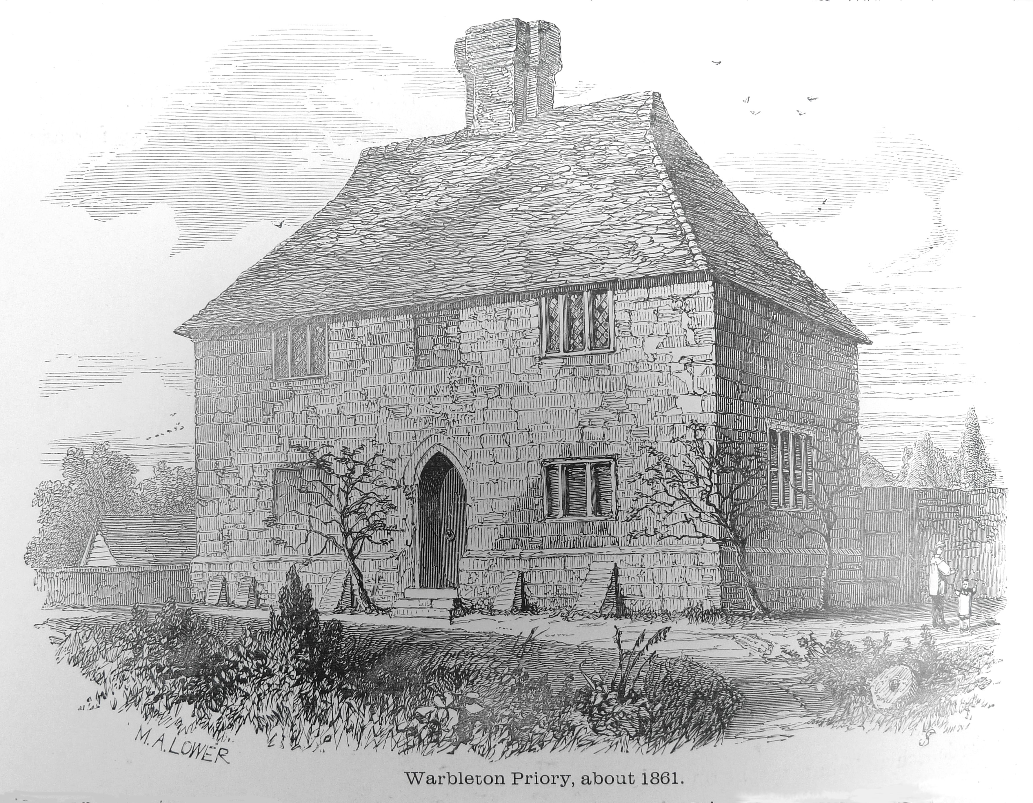
Warbleton Priory
Warbleton Priory was a medieval monastic house in East Sussex, England. The current house is a Grade II* listed building. == References == == External... ==

East Sussex
East Sussex is a ceremonial county in South East England. It is bordered by Kent to the north-east, West Sussex to the west, Surrey to the north-west,...
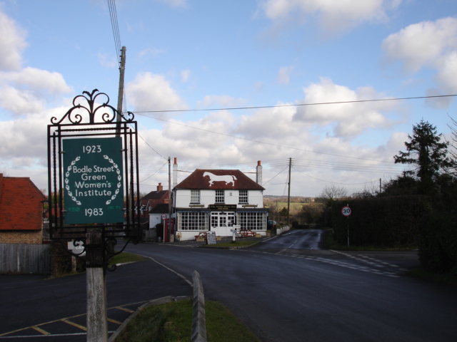
Bodle Street Green
Bodle Street Green is a small village in the civil parish of Warbleton, in the Wealden district of East Sussex, England. Its nearest town is Hailsham,...

Dallington, East Sussex
Dallington is a village and civil parish in the Rother district of East Sussex, England. It is located eight miles (13 km) west of Battle and five miles...

Ashburnham, East Sussex
Ashburnham is a civil parish in the Rother district of East Sussex, England, situated to the west of Battle. It includes the settlements of Brownbread...

Rushlake Green
Rushlake Green is a small village in the civil parish of Warbleton in the Wealden district of East Sussex, England. Rushlake Green is situated on the slopes...
Nearby Amenities
Located within 500m of 50.926008,0.35047738Have you been to Marlpit Wood?
Leave your review of Marlpit Wood below (or comments, questions and feedback).