Fenny Drayton
Settlement in Leicestershire Hinckley and Bosworth
England
Fenny Drayton
Fenny Drayton is a small village located in the county of Leicestershire, England. It is situated approximately 10 miles northeast of Nuneaton and 15 miles southwest of Leicester. The village is part of the Hinckley and Bosworth district and is surrounded by beautiful countryside, offering a peaceful and picturesque setting.
The history of Fenny Drayton dates back to the medieval period, and evidence of its past can still be seen today. The village features several historic buildings, including St. Michael and All Angels Church, which dates back to the 13th century. The church boasts stunning architecture and is a prominent landmark in the area.
Fenny Drayton is a tight-knit community with a small population. It offers a range of amenities to its residents, including a village hall and a local pub. The village is known for its friendly atmosphere and strong community spirit.
The surrounding countryside provides ample opportunities for outdoor activities, such as walking, cycling, and horse riding. The nearby Ashby Canal and Bosworth Battlefield Heritage Centre are popular attractions for both locals and visitors. The battlefield is renowned for being the site of the historic Battle of Bosworth, which took place in 1485 and marked the end of the Plantagenet dynasty.
Overall, Fenny Drayton is a charming and historically significant village in Leicestershire. Its tranquil setting, coupled with its rich history and strong community, make it an attractive place to live or visit for those seeking a peaceful countryside experience.
If you have any feedback on the listing, please let us know in the comments section below.
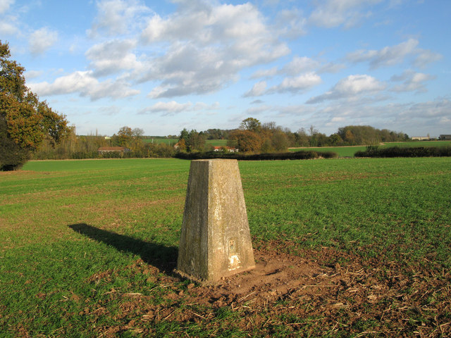
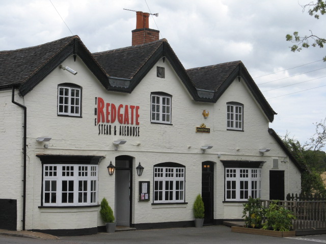
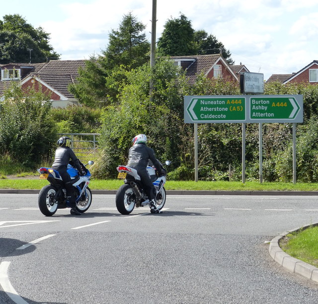
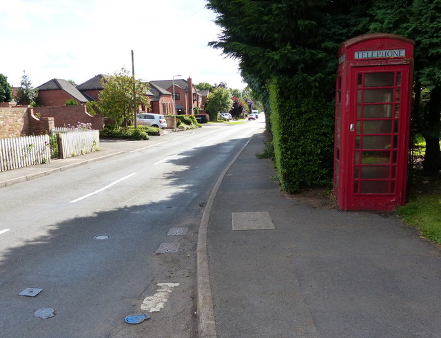
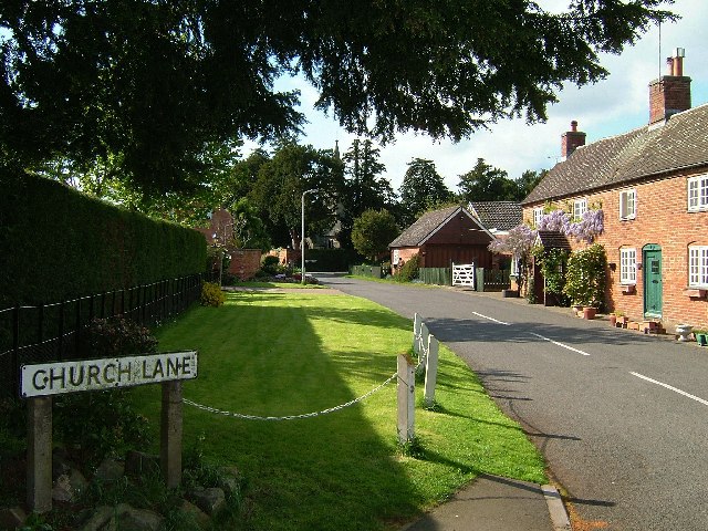
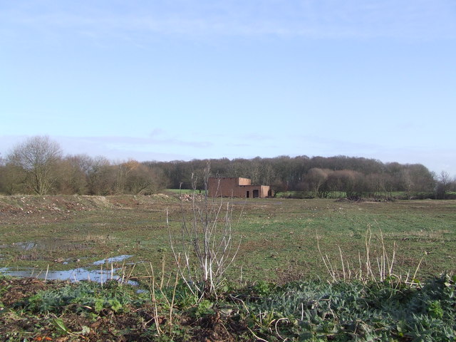
Fenny Drayton Images
Images are sourced within 2km of 52.569188/-1.47619 or Grid Reference SP3596. Thanks to Geograph Open Source API. All images are credited.


Fenny Drayton is located at Grid Ref: SP3596 (Lat: 52.569188, Lng: -1.47619)
Administrative County: Leicestershire
District: Hinckley and Bosworth
Police Authority: Leicestershire
What 3 Words
///workforce.obstinate.panic. Near Hartshill, Warwickshire
Nearby Locations
Related Wikis
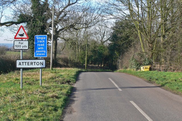
Atterton
Atterton is a hamlet and former civil parish, now in the parish of Witherley, in the Hinckley and Bosworth district, in the county of Leicestershire, England...
Fenny Drayton
Fenny Drayton (once Drayton-in-the-Clay) is a village and former civil parish, now in the parish of Witherley, in the Hinckley and Bosworth district of...
Lindley Hall Farm
Lindley Hall Farm is a farm in Leicestershire, England, in close proximity to Fenny Drayton and Higham on the Hill. The farm is owned by Stephen Farmer...

MIRA Ltd.
HORIBA MIRA Ltd. (formerly the Motor Industry Research Association) is an automotive engineering and development consultancy company headquartered in Higham...
RAF Lindley
Royal Air Force Lindley or more simply RAF Lindley is a former Royal Air Force station situated in Leicestershire 8.1 miles (13.0 km) south east of Polesworth...
Higham on the Hill railway station
Higham on the Hill railway station is a disused railway station on the former Ashby and Nuneaton Joint Railway. It served the village of Higham on the...
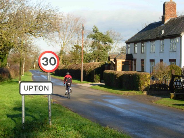
Upton, Leicestershire
Upton, is a small hamlet and former civil parish, now in the parish of Sheepy, in the Hinckley and Bosworth district, in the county of Leicestershire,...

Manduessedum
Manduessedum or Manduesedum was a Roman fort and later a civilian small town in the Roman Province of Britannia. It was located on and immediately to the...
Nearby Amenities
Located within 500m of 52.569188,-1.47619Have you been to Fenny Drayton?
Leave your review of Fenny Drayton below (or comments, questions and feedback).