Cotts Wood
Wood, Forest in Sussex Wealden
England
Cotts Wood

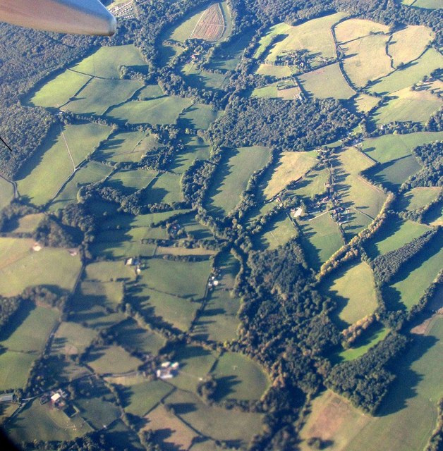
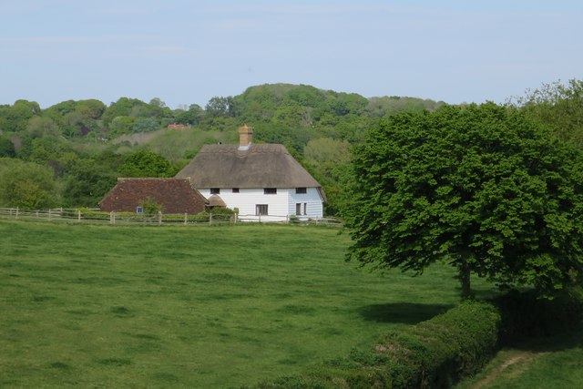
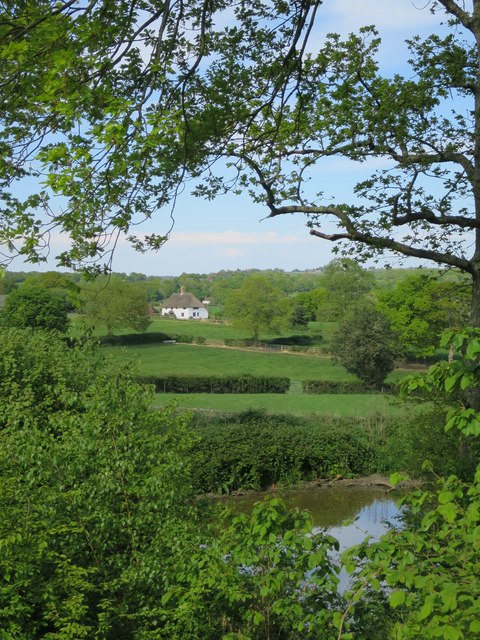
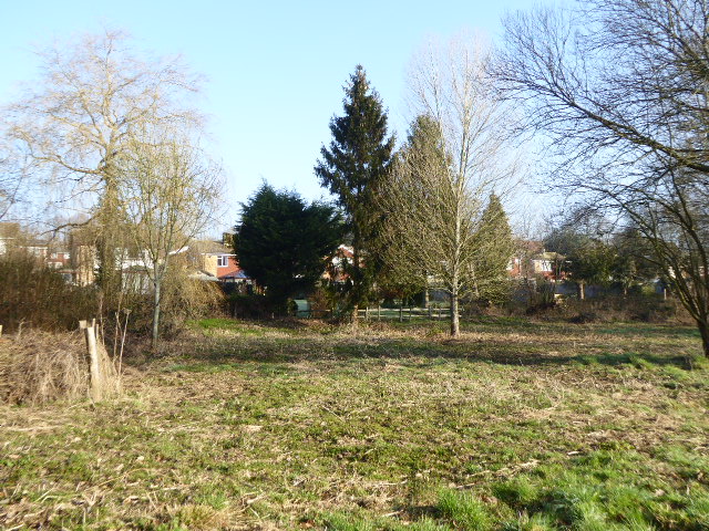
Cotts Wood is a picturesque woodland located in the county of Sussex, England. Situated just a few miles outside the historic town of Lewes, this enchanting forest covers an area of approximately 100 acres and is a popular destination for nature lovers and outdoor enthusiasts.
The woodland is predominantly made up of native broadleaf trees, including oak, beech, and birch, creating a diverse and vibrant ecosystem. The dense canopy provides shelter for various species of birds, such as woodpeckers and owls, making it a haven for birdwatching.
Cotts Wood is crisscrossed by a network of well-maintained walking trails, allowing visitors to explore its natural beauty at their own pace. These paths wind through the forest, leading to hidden glades, babbling brooks, and tranquil ponds. The woodland floor is carpeted with a rich tapestry of wildflowers, including bluebells, primroses, and orchids, which burst into a riot of color during the spring months.
In addition to its natural beauty, Cotts Wood also holds historical significance. It is believed that the woodland has been in existence for centuries, serving as a source of timber and shelter for local communities. Today, it is managed by a local conservation organization, ensuring the protection and preservation of this precious natural habitat.
Whether you are seeking a peaceful stroll, a spot of birdwatching, or simply a chance to immerse yourself in nature, Cotts Wood offers a serene and captivating experience for all who visit.
If you have any feedback on the listing, please let us know in the comments section below.
Cotts Wood Images
Images are sourced within 2km of 50.935284/0.35073167 or Grid Reference TQ6517. Thanks to Geograph Open Source API. All images are credited.


Cotts Wood is located at Grid Ref: TQ6517 (Lat: 50.935284, Lng: 0.35073167)
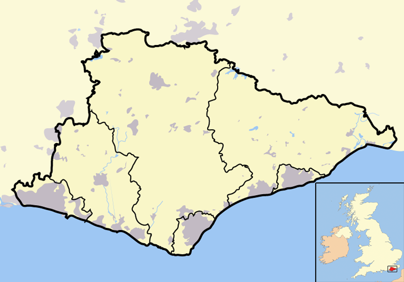
Administrative County: East Sussex
District: Wealden
Police Authority: Sussex
What 3 Words
///tracking.division.cassettes. Near Bodle Street, East Sussex
Nearby Locations
Related Wikis
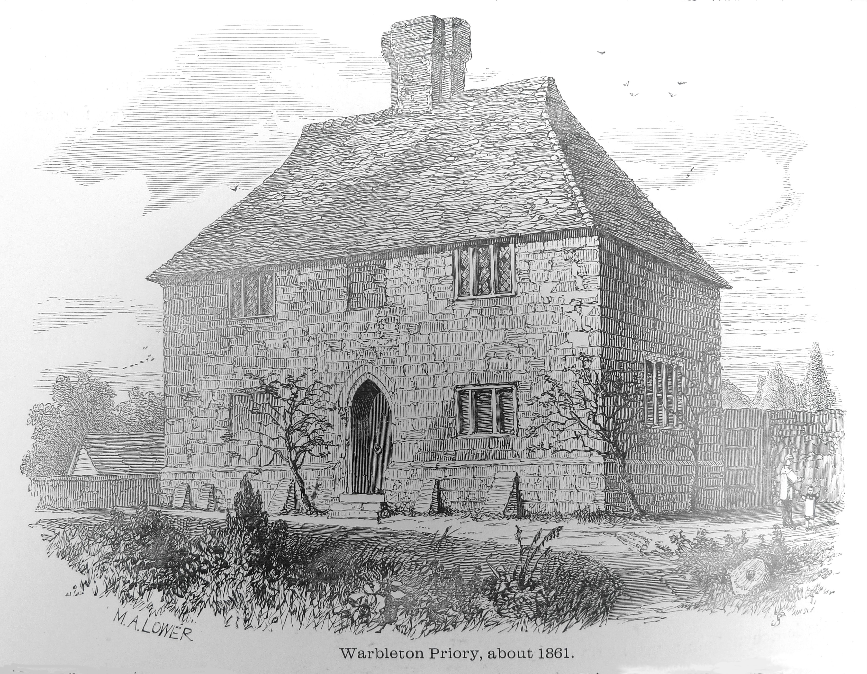
Warbleton Priory
Warbleton Priory was a medieval monastic house in East Sussex, England. The current house is a Grade II* listed building. == References == == External... ==

Dallington, East Sussex
Dallington is a village and civil parish in the Rother district of East Sussex, England. It is located eight miles (13 km) west of Battle and five miles...

East Sussex
East Sussex is a ceremonial county in South East England. It is bordered by Kent to the north-east, West Sussex to the west, Surrey to the north-west,...
List of local nature reserves in East Sussex
Local Nature Reserves (LNRs) are designated by local authorities under the National Parks and Access to the Countryside Act 1949. The local authority must...
List of Sites of Special Scientific Interest in East Sussex
In England, Sites of Special Scientific Interest (SSSIs) are designated by Natural England, which is responsible for protecting England's natural environment...

Rushlake Green
Rushlake Green is a small village in the civil parish of Warbleton in the Wealden district of East Sussex, England. Rushlake Green is situated on the slopes...

Dallington Forest
Dallington Forest is a 16.1-hectare (40-acre) biological Site of Special Scientific Interest (SSSI) east of Heathfield in East Sussex. The SSSI is part...
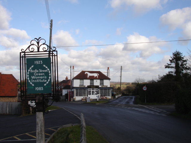
Bodle Street Green
Bodle Street Green is a small village in the civil parish of Warbleton, in the Wealden district of East Sussex, England. Its nearest town is Hailsham,...
Nearby Amenities
Located within 500m of 50.935284,0.35073167Have you been to Cotts Wood?
Leave your review of Cotts Wood below (or comments, questions and feedback).