Dry Pond Shaw
Wood, Forest in Sussex Wealden
England
Dry Pond Shaw
Dry Pond Shaw is a small but picturesque woodland area located in the county of Sussex, England. Situated near the village of Wood, this forest is known for its tranquil atmosphere and unique natural features.
The name Dry Pond Shaw is derived from a dry pond that was once present in the area. Over time, the pond dried up, leaving behind a shallow depression that is now covered in lush vegetation. This natural feature adds to the charm and beauty of the woodland.
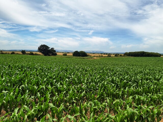
Covering an area of approximately 50 acres, Dry Pond Shaw is predominantly made up of deciduous trees such as oak, beech, and birch. The forest floor is carpeted with a diverse range of plants and wildflowers, creating a vibrant and colorful environment.
The woodland is home to a variety of wildlife, including deer, rabbits, and various bird species. It provides a habitat for many different types of insects and small mammals as well. Nature enthusiasts and birdwatchers often visit Dry Pond Shaw to observe and appreciate the local flora and fauna.
The woodland is crisscrossed with several footpaths, making it accessible for visitors who wish to explore the area. There is also a small parking area nearby for those arriving by car. The peacefulness and tranquility of Dry Pond Shaw make it an ideal destination for walkers, joggers, and those seeking a peaceful retreat in nature.
Overall, Dry Pond Shaw in Sussex is a small yet enchanting woodland area that offers a serene and natural escape for visitors.
If you have any feedback on the listing, please let us know in the comments section below.
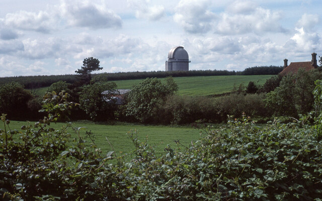
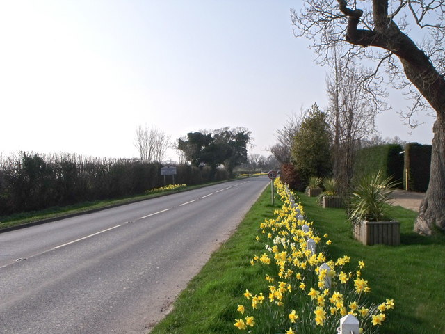
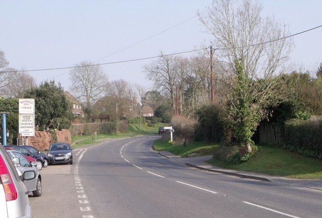
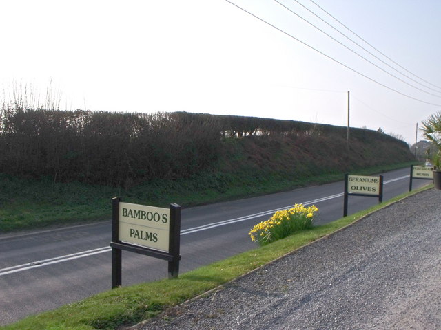
Dry Pond Shaw Images
Images are sourced within 2km of 50.874991/0.34438386 or Grid Reference TQ6511. Thanks to Geograph Open Source API. All images are credited.


Dry Pond Shaw is located at Grid Ref: TQ6511 (Lat: 50.874991, Lng: 0.34438386)
Administrative County: East Sussex
District: Wealden
Police Authority: Sussex
What 3 Words
///talent.alternate.served. Near Herstmonceux, East Sussex
Nearby Locations
Related Wikis

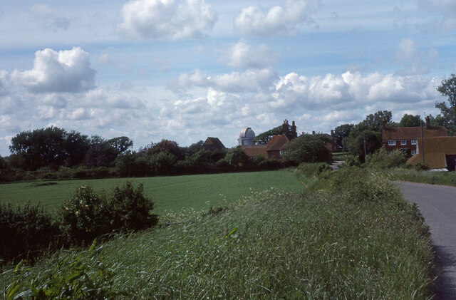
Herstmonceux Park
Herstmonceux Park is a 4.3-hectare (11-acre) biological Site of Special Scientific Interest south of Herstmonceux in East Sussex.This narrow stream valley...

England's Medieval Festival
England's Medieval Festival is a medieval-themed festival held over the August bank holiday at, Pippingford Park in Sussex, England. Held over three days...
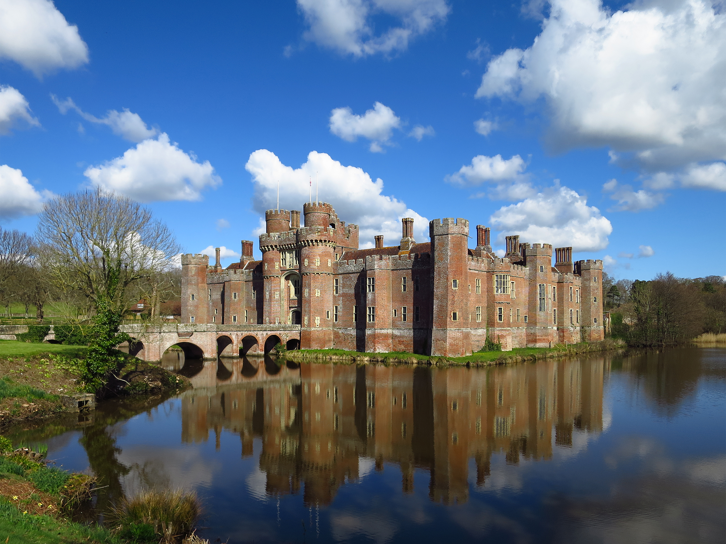
Herstmonceux Castle
Herstmonceux Castle is a brick-built castle, dating from the 15th century, near Herstmonceux, East Sussex, England. It is one of the oldest significant...
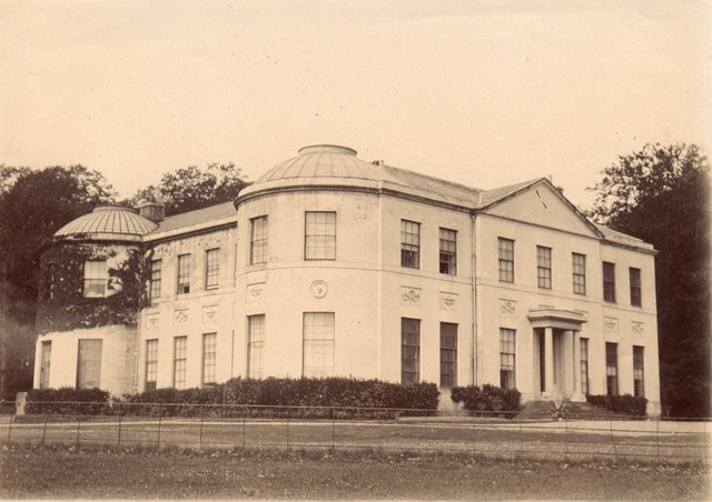
Herstmonceux Place
Herstmonceux Place is an 18th-century country house in Herstmonceux, East Sussex, England. It was divided into apartments in the 1950s. The house stands...
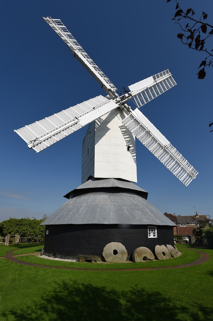
Windmill Hill Mill, Herstmonceux
Windmill Hill Mill is a grade II* listed post mill at Herstmonceux, Sussex, England which has been restored and now operates as a working mill. The mill...

Windmill Hill, East Sussex
Windmill Hill is a village in the civil parish of Herstmonceux, in the Wealden district of East Sussex, England. In 2020 it had an estimated population...

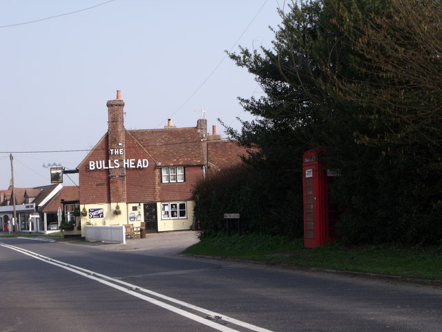
Boreham Street
Boreham Street is a small village in the Wealden district of East Sussex, England. Its nearest towns are Hailsham, which lies approximately 6 miles (9...

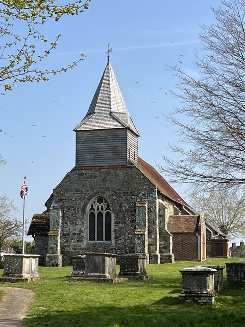
Herstmonceux Free Church
Herstmonceux Free Church is a congregational chapel located in Herstmonceux, East Sussex. It was initially constructed at its site on Chapel Row in 1811...
Nearby Amenities
Located within 500m of 50.874991,0.34438386Have you been to Dry Pond Shaw?
Leave your review of Dry Pond Shaw below (or comments, questions and feedback).