Parkhill Wood

Wood, Forest in Essex Brentwood

England

Parkhill Wood

Brookman’s Farm
Brookman’s Farm Credit: Alan Hughes

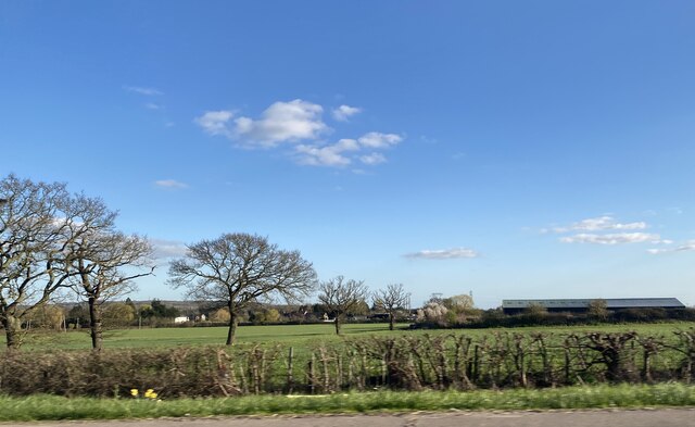
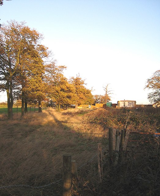
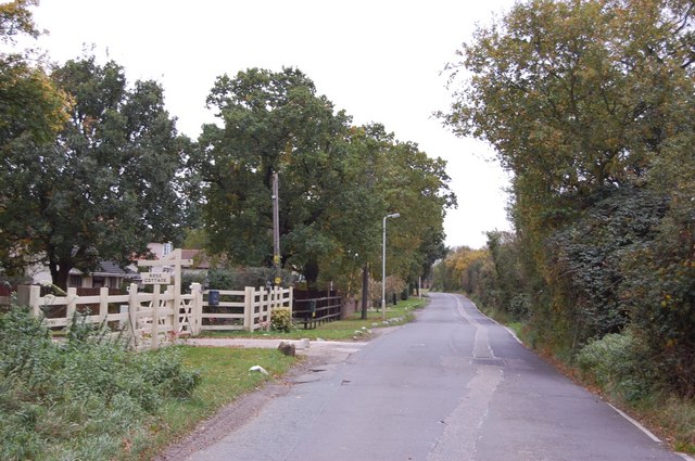
Parkhill Wood is a picturesque woodland located in the county of Essex, England. Situated near the village of Parkhill, this forested area spans over 100 acres and is a popular destination for nature enthusiasts and outdoor enthusiasts alike. The wood is managed by a local conservation trust and is known for its diverse range of flora and fauna.

The woodland is characterized by its dense canopy of oak, beech, and birch trees, which provide a tranquil and shaded environment for visitors to explore. The forest floor is adorned with an array of wildflowers, including bluebells, daffodils, and primroses, creating a colorful and vibrant atmosphere during the spring and summer months.

Parkhill Wood is home to a variety of wildlife, making it an ideal spot for birdwatching and animal spotting. Bird species such as woodpeckers, nuthatches, and tawny owls can be spotted among the treetops, while foxes, badgers, and deer can often be seen roaming the forest floor.

Walking paths and trails crisscross the woodland, allowing visitors to easily navigate and explore its beauty. There are also designated picnic areas and benches scattered throughout the wood, providing the perfect spot to relax and enjoy a packed lunch amidst the natural surroundings.

Overall, Parkhill Wood offers a serene and immersive experience in nature, making it a must-visit destination for those seeking tranquility and a connection with the great outdoors.

If you have any feedback on the listing, please let us know in the comments section below.

Parkhill Wood Images

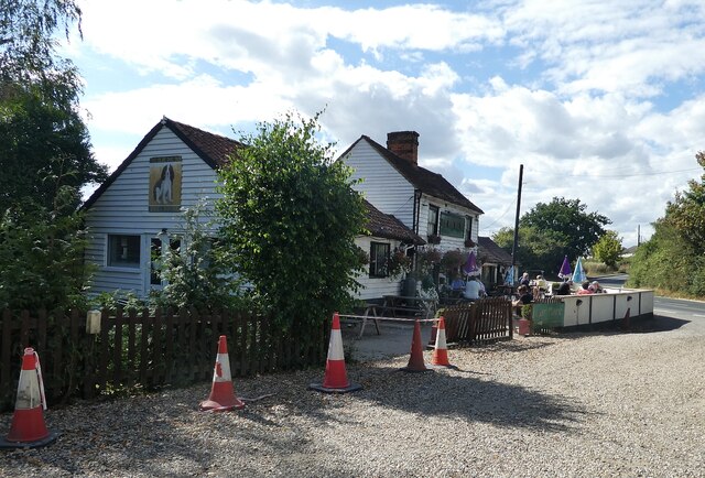
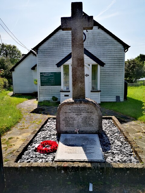
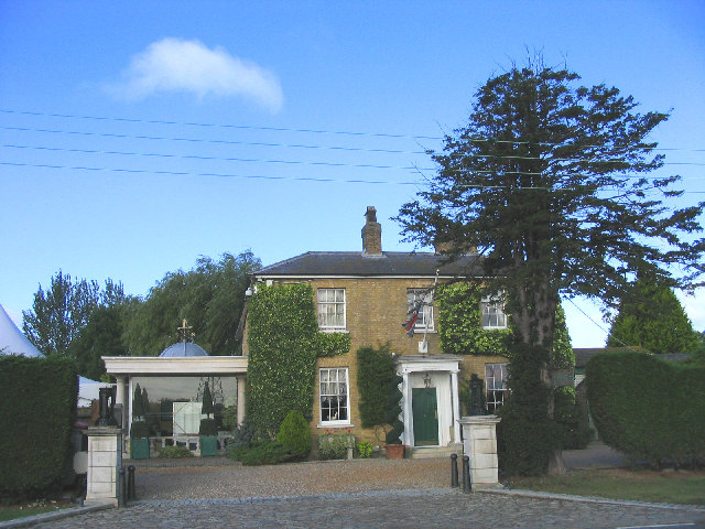
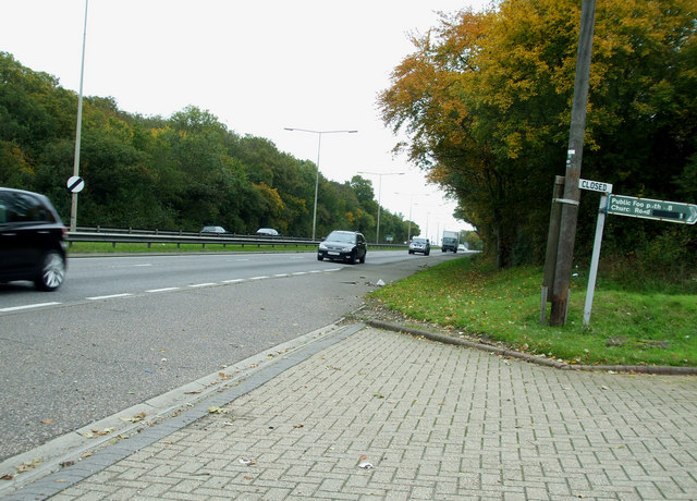
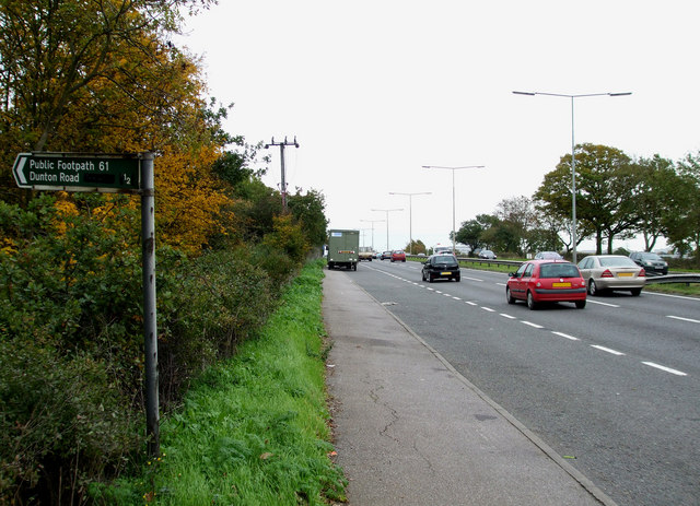
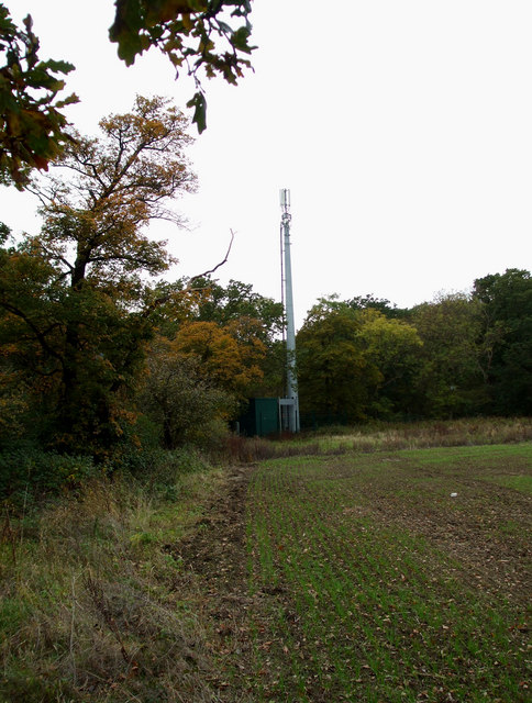
Images are sourced within 2km of 51.595466/0.3806689 or Grid Reference TQ6491. Thanks to Geograph Open Source API. All images are credited.

Brookman’s Farm
Brookman’s Farm
Herongate - The Olde Dog Inn A weather-boarded C18th inn on the Billericay Road out of Herongate with a good choice of ales on offer. 
EH Grade II listed: <span class="nowrap"><a title="https://historicengland.org.uk/listing/the-list/list-entry/1205513?section=official-list-entry" rel="nofollow ugc noopener" href="https://historicengland.org.uk/listing/the-list/list-entry/1205513?section=official-list-entry">Link</a><img style="margin-left:2px;" alt="External link" title="External link - shift click to open in new window" src="https://s1.geograph.org.uk/img/external.png" width="10" height="10"/></span>
See their website here: <span class="nowrap"><a title="https://theoldedoginn.co.uk" rel="nofollow ugc noopener" href="https://theoldedoginn.co.uk">Link</a><img style="margin-left:2px;" alt="External link" title="External link - shift click to open in new window" src="https://s1.geograph.org.uk/img/external.png" width="10" height="10"/></span>
Herongate - The Olde Dog Inn
A weather-boarded C18th inn on the Billericay Road out of Herongate with a good choice of ales on offer. EH Grade II listed: LinkExternal link See their website here: LinkExternal link
War Memorial, St Andrew's Methodist Church A war memorial to the men of East Horndon who fell in WWI and WWII.
War Memorial, St Andrew's Methodist Church
A war memorial to the men of East Horndon who fell in WWI and WWII.
Friern Manor Hotel, Dunton, Essex An old manor house - converted to a country hotel. On the west side of Lower Dunton Road.
Friern Manor Hotel, Dunton, Essex
An old manor house - converted to a country hotel. On the west side of Lower Dunton Road.
Bridleway No. 161 to Dunton Wayletts No chance of  me getting through here without a machete and bolt croppers, let alone my horse. Fortunately such blatant PRW obstruction is rare in south Essex.
Bridleway No. 161 to Dunton Wayletts
No chance of me getting through here without a machete and bolt croppers, let alone my horse. Fortunately such blatant PRW obstruction is rare in south Essex.
Approach Road to Ford's Dunton Ford's plant at Dunton is for research and development. This is the road approaching the entrance.
Approach Road to Ford's Dunton
Ford's plant at Dunton is for research and development. This is the road approaching the entrance.
Wheatfield with tyre tracks Tyre tracks heading north but no clear sign of footpath No.101 to Dunton which runs across there somewhere according to the sign.
Wheatfield with tyre tracks
Tyre tracks heading north but no clear sign of footpath No.101 to Dunton which runs across there somewhere according to the sign.
Lower Dunton Road and Sign This road (Lower Dunton Road) leads to South Hill B1007.
There are a few interesting features along it.
Lower Dunton Road and Sign
This road (Lower Dunton Road) leads to South Hill B1007. There are a few interesting features along it.
Dunton Road This short section of road heads towards the A127, it continues on the far side of the carriageway, so I must assume it was continuous before the A127 was built.
Dunton Road
This short section of road heads towards the A127, it continues on the far side of the carriageway, so I must assume it was continuous before the A127 was built.
Sales Field I'm not sure what these vehicles are doing in this field alongside the A127, perhaps it's a new way to sell them.
Sales Field
I'm not sure what these vehicles are doing in this field alongside the A127, perhaps it's a new way to sell them.
One of the Maynes This road is one of the main (no pun intended) roads that carry traffic in and out of Basildon. They all end in Mayne. This one is West Mayne. The others are A roads, this is the B148.

The building on the left is Essex Ford.
One of the Maynes
This road is one of the main (no pun intended) roads that carry traffic in and out of Basildon. They all end in Mayne. This one is West Mayne. The others are A roads, this is the B148. The building on the left is Essex Ford.
West Mayne Otherwise known as the B148 a substantial "B" road.
West Mayne
Otherwise known as the B148 a substantial "B" road.
Timmermans Nursery Nursery on the A127 near Dunton.
Timmermans Nursery
Nursery on the A127 near Dunton.
Closed Footpath This is the entrance to <a href="https://www.geograph.org.uk/photo/2140431">TQ6489 : Timmermans Nursery</a> on the A127. I think the closed and the footpath signs are unrelated.
Closed Footpath
This is the entrance to TQ6489 : Timmermans Nursery on the A127. I think the closed and the footpath signs are unrelated.
Layby on the A127 This layby is on the Southend bound carriageway of the A127. 
The footpath heads towards Park Farm.
Layby on the A127
This layby is on the Southend bound carriageway of the A127. The footpath heads towards Park Farm.
Footpath 61 The footpath crosses this field heading towards Park Farm and the Dunton Road.
Footpath 61
The footpath crosses this field heading towards Park Farm and the Dunton Road.
Phone mast Hidden in the corner of this field near Footpath 61.
Phone mast
Hidden in the corner of this field near Footpath 61.
A127 Arterial road This section of the A127 and the business across the carriageway are on the western side of this grid.
The business is a car dealers and hand car wash.
A127 Arterial road
This section of the A127 and the business across the carriageway are on the western side of this grid. The business is a car dealers and hand car wash.
Show me another place!

Parkhill Wood is located at Grid Ref: TQ6491 (Lat: 51.595466, Lng: 0.3806689)

Administrative County: Essex

District: Brentwood

Police Authority: Essex

What 3 Words

///eager.gasp.atomic. Near Ingrave, Essex

Nearby Locations

Parkhill Wood

Related Wikis

Dunton Wayletts

Dunton Wayletts or Dunton is hamlet and former civil parish in the Borough of Basildon in Essex, England. It lies on the western outskirts of the borough...

Billericay Rural District

Billericay Rural District was a local government district in Essex, England from 1894 to 1934. It consisted of the following parishes: Basildon Brentwood...

All Saints Church, East Horndon

All Saints' Church is a redundant Anglican church in the village of East Horndon, Essex, England. It is recorded in the National Heritage List for England...

Herongate

Herongate is a village in south Essex, England. The village is situated on the A128 road between Brentwood and West Horndon. The population of the village...

Nearby Amenities

Located within 500m of 51.595466,0.3806689
Created By: YahooApplet 1.0
Lat/Long: 51.5989902/0.3831169
Created By: YahooApplet 1.0
Lat/Long: 51.5974974/0.3792009
Created By: YahooApplet 1.0
Lat/Long: 51.5968176/0.3775486
Created By: YahooApplet 1.0
Lat/Long: 51.5973241/0.3792974
Created By: YahooApplet 1.0
Lat/Long: 51.5969109/0.3823552
Created By: YahooApplet 1.0
Lat/Long: 51.5964044/0.3822693
Created By: YahooApplet 1.0
Lat/Long: 51.595498/0.3793511
Created By: YahooApplet 1.0
Lat/Long: 51.5952447/0.3832242
Created By: YahooApplet 1.0
Lat/Long: 51.5934985/0.3821728
Created By: YahooApplet 1.0
Lat/Long: 51.5936984/0.3830096
Created By: YahooApplet 1.0
Lat/Long: 51.5936918/0.3826234
Created By: YahooApplet 1.0
Lat/Long: 51.5934518/0.3806493
Created By: YahooApplet 1.0
Lat/Long: 51.594145/0.3819206
Created By: YahooApplet 1.0
Lat/Long: 51.5945249/0.3810838
Colour: red
Inscription: GAS NTS HP GAS PIPELINE
Marker: post
Material: plastic
Utility: gas
Lat/Long: 51.595552/0.3744085
Colour: red
Inscription: GAS NTS HP GAS PIPELINE
Marker: post
Material: plastic
Utility: gas
Lat/Long: 51.5954737/0.3744874
Colour: red and white
Marker: aerial
Material: plastic
Utility: gas
Lat/Long: 51.5955583/0.3743996
Colour: yellow
Marker: post
Material: concrete
Utility: gas
Lat/Long: 51.5954761/0.3744989
The data included in this document is from www.openstreetmap.org. The data is made available under ODbL.

Have you been to Parkhill Wood?

Leave your review of Parkhill Wood below (or comments, questions and feedback).