Fenlake
Settlement in Bedfordshire
England
Fenlake

Fenlake is a small village located in the county of Bedfordshire, England. Situated approximately 4 miles south of the town of Bedford, Fenlake is nestled within a rural landscape surrounded by picturesque countryside.
The village is known for its tranquil and idyllic setting, offering residents and visitors a peaceful escape from the hustle and bustle of city life. The area is characterized by its vast green fields, rolling hills, and charming cottages, creating a quintessential English countryside atmosphere.
Fenlake is primarily a residential area, comprising a small community of houses and a few local amenities. The village is home to a local pub, which serves as a gathering place for residents and visitors alike. The pub offers a warm and friendly atmosphere, providing a place to relax and socialize.
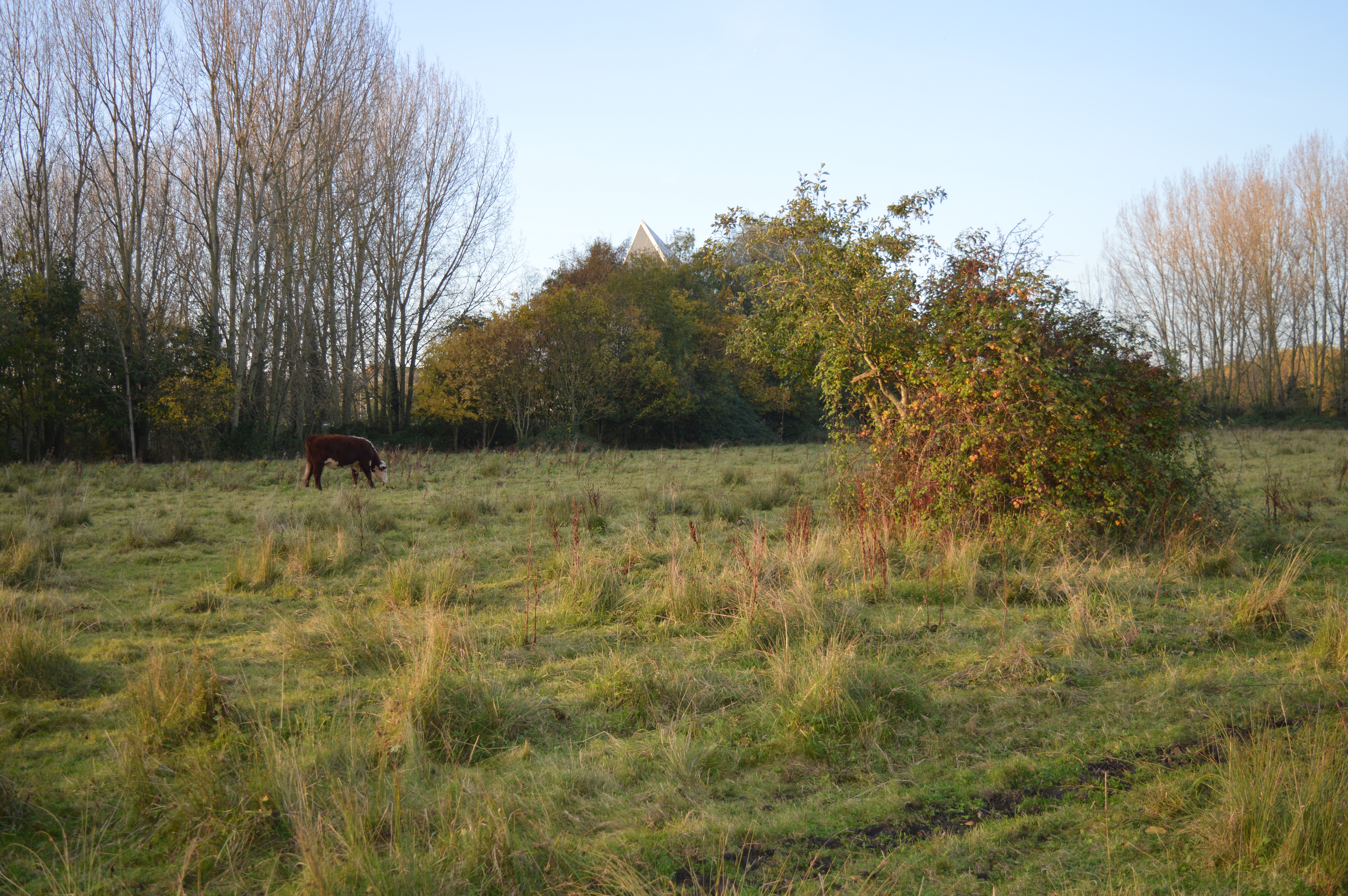
The village is also blessed with natural beauty, as it is surrounded by several lakes and rivers. These bodies of water provide opportunities for various recreational activities, such as fishing, boating, and picnicking. The serene environment attracts nature enthusiasts and outdoor lovers, who can explore the surrounding trails and enjoy the abundance of wildlife in the area.
Access to Fenlake is convenient, as it is well-connected to nearby towns and cities. The village benefits from good transport links, with regular bus services and easy access to major roads. This allows residents to easily commute to neighboring towns for work or leisure activities.
Overall, Fenlake offers a charming and peaceful retreat for those seeking a quiet countryside lifestyle, while still providing easy access to amenities and transport links.
If you have any feedback on the listing, please let us know in the comments section below.
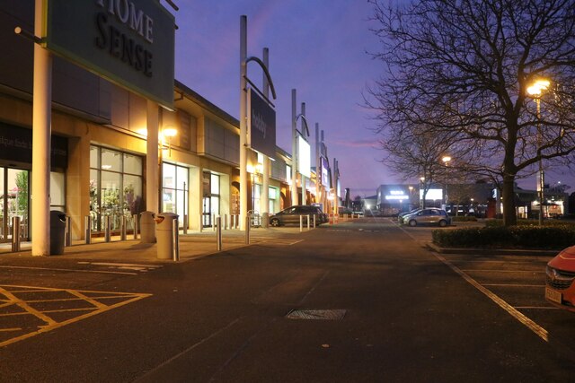
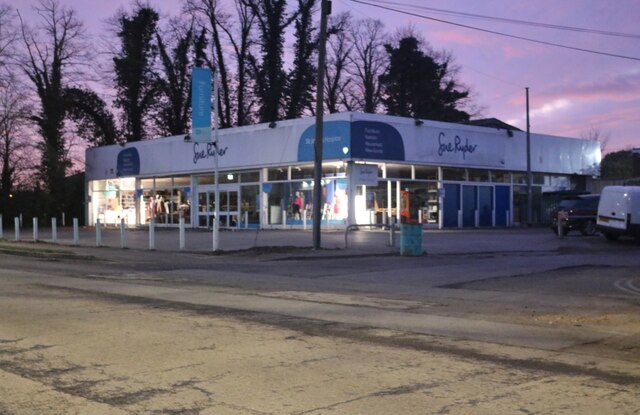
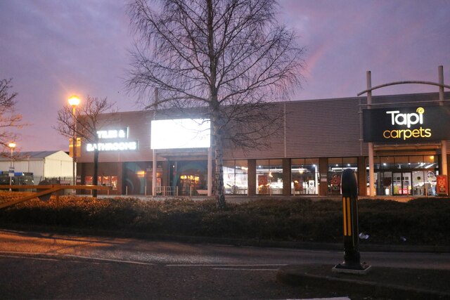
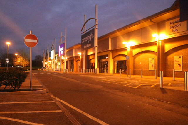
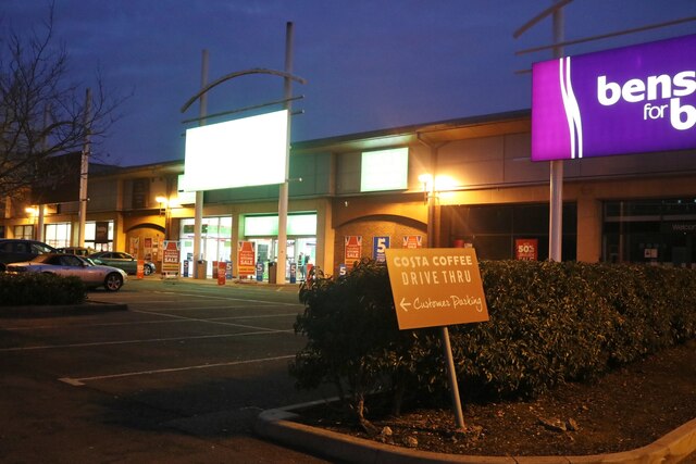
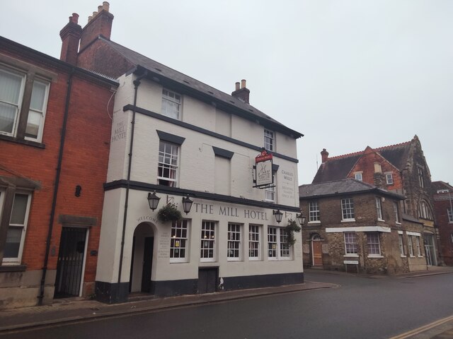
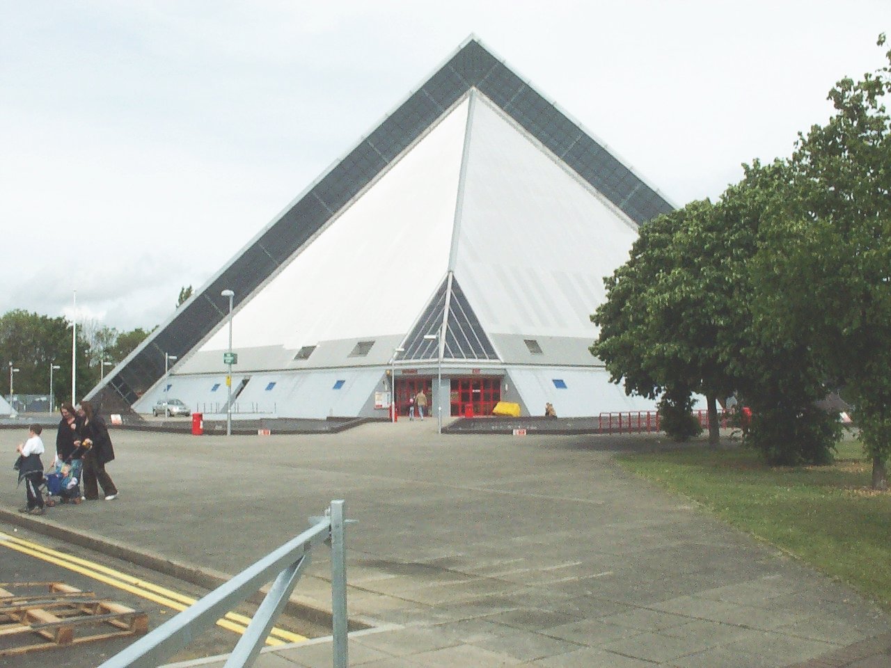
Fenlake Images
Images are sourced within 2km of 52.123575/-0.446285 or Grid Reference TL0648. Thanks to Geograph Open Source API. All images are credited.


Fenlake is located at Grid Ref: TL0648 (Lat: 52.123575, Lng: -0.446285)
Unitary Authority: Bedford
Police Authority: Bedfordshire
What 3 Words
///charge.lists.entry. Near Bedford, Bedfordshire
Nearby Locations
Related Wikis
Kingsbrook, Bedford
Kingsbrook is an electoral ward and area within the town of Bedford, England. The boundaries of Kingsbrook are approximately the River Great Ouse and Priory...

Bedford Academy
Bedford Academy (formerly John Bunyan Upper School) is a mixed secondary school and sixth form located in the Kingsbrook area of Bedford, Bedfordshire...
Fenlake Meadows
Fenlake Meadows is a 19.2 hectare Local Nature Reserve located in the Kingsbrook area of Bedford. It is owned and managed by Bedford Borough Council.This...

Bedford Modern School Boat Club
Bedford Modern School Boat Club is a rowing club based on the River Great Ouse at the Harpur Trust / Longholme Boathouse, The Embankment by Butterfly Bridge...
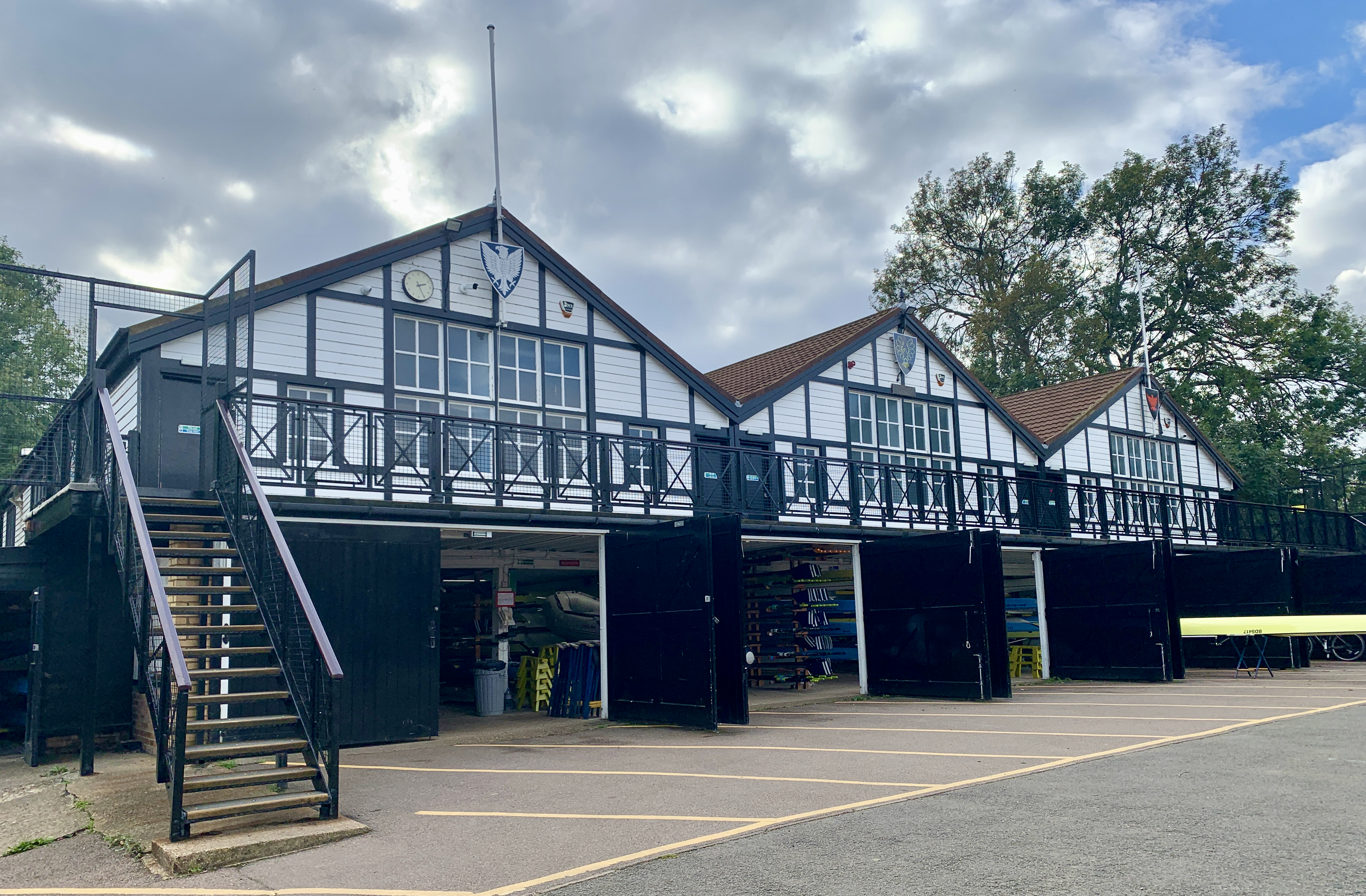
Bedford Girls' School Rowing Club
Bedford Girls' School Rowing Club is a rowing club based on the River Great Ouse at the Harpur Trust / Longholme Boathouse, The Embankment by Butterfly...

Bedford School Boat Club
Bedford School Boat Club (BSBC) is a rowing club based on the River Great Ouse at Longholme Boathouse, The Embankment by Butterfly Bridge, Bedford, Bedfordshire...

Priory Country Park
Priory Country Park is a country park located in the Newnham area of Bedford, England alongside the River Great Ouse. The park is managed by Bedford Borough...
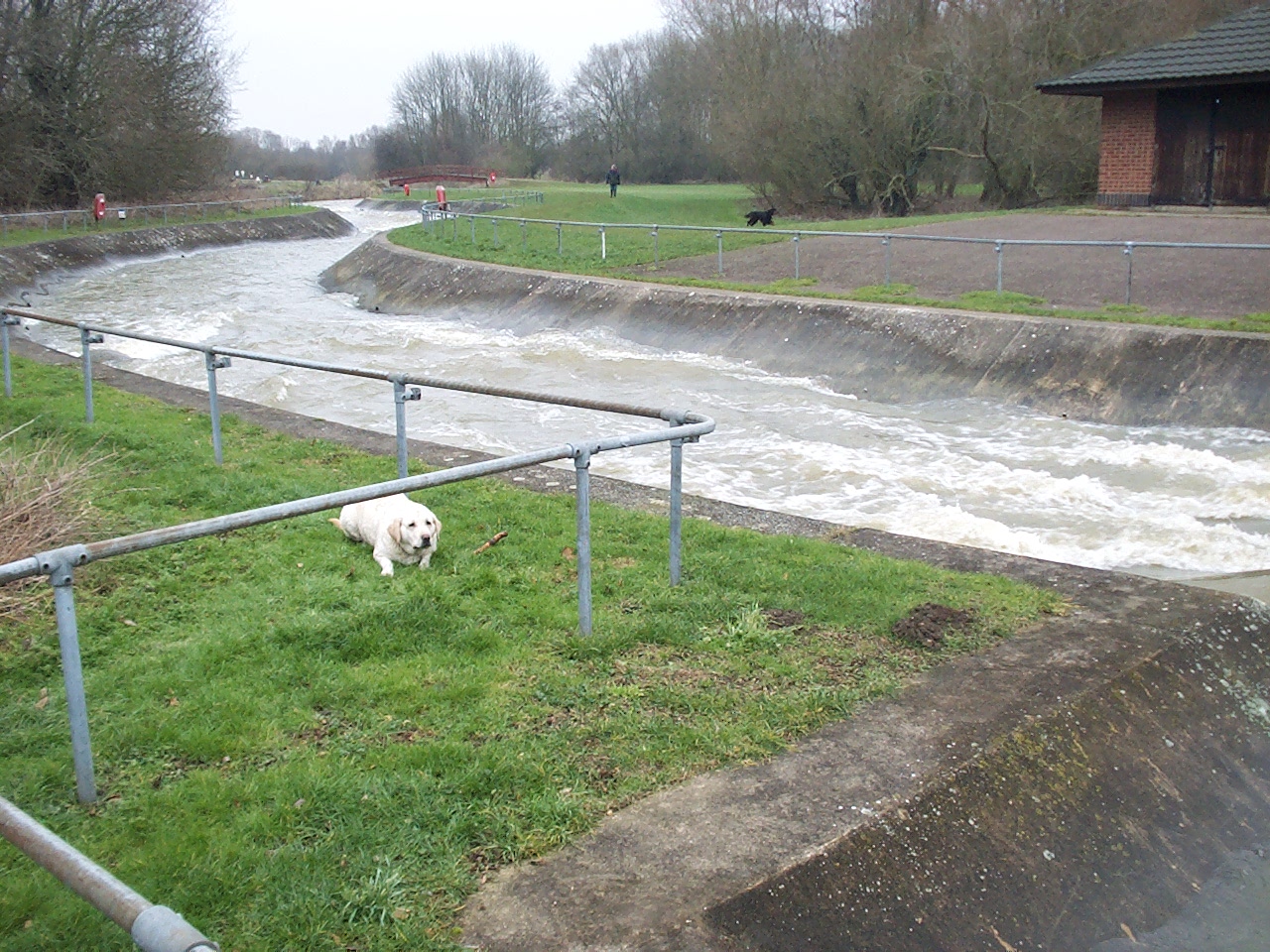
Cardington Artificial Slalom Course
Cardington Artificial Slalom Course (CASC) was the first artificial whitewater canoe slalom course in the UK when it was completed in July 1982, having...
Nearby Amenities
Located within 500m of 52.123575,-0.446285Have you been to Fenlake?
Leave your review of Fenlake below (or comments, questions and feedback).