Churchway Wood
Wood, Forest in Kent Gravesham
England
Churchway Wood
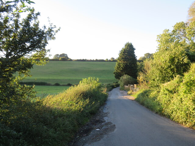
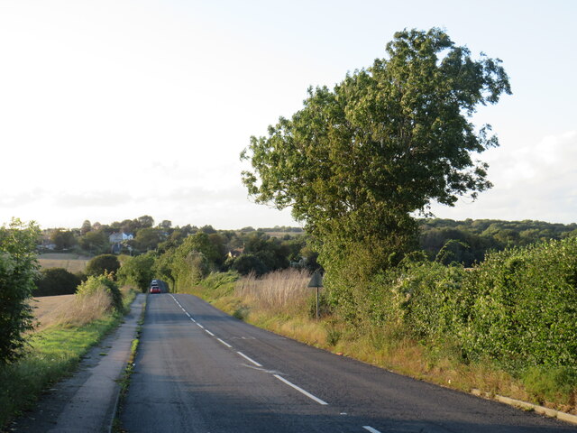
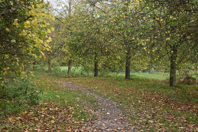
Churchway Wood is a picturesque woodland located in Kent, England. Covering an area of approximately 50 acres, it is nestled in the heart of the Kentish countryside, offering a tranquil escape from the bustling city life. The wood is easily accessible, situated just a short distance from the village of Churchway.
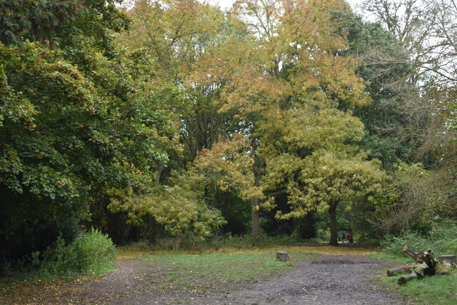
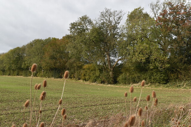
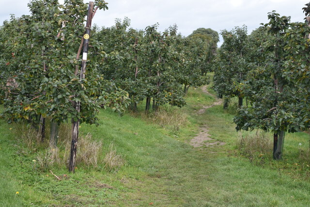
As visitors enter the wood, they are greeted by an enchanting landscape of tall, majestic trees that create a dense canopy overhead. The wood is primarily composed of a variety of deciduous trees, including oak, ash, and beech, which provide a stunning display of colors during the autumn months.
The forest floor is carpeted with a rich assortment of ferns, mosses, and wildflowers, adding to the natural beauty of the surroundings. Wildlife enthusiasts will be delighted to know that Churchway Wood is home to several species of animals and birds, including deer, badgers, foxes, and a wide range of bird species.
The wood offers a network of well-maintained walking trails, allowing visitors to explore its hidden gems at their own pace. These trails wind through the woodland, leading to secluded clearings and tranquil ponds. Along the way, there are several benches strategically placed, providing a perfect spot for visitors to rest and admire the breathtaking scenery.
Churchway Wood is not only a haven for nature lovers, but also a popular location for outdoor activities such as picnicking, birdwatching, and photography. It is a place where one can immerse themselves in the beauty of nature, reconnect with the natural world, and experience a sense of peace and serenity.
If you have any feedback on the listing, please let us know in the comments section below.
Churchway Wood Images
Images are sourced within 2km of 51.378915/0.36576307 or Grid Reference TQ6467. Thanks to Geograph Open Source API. All images are credited.


Churchway Wood is located at Grid Ref: TQ6467 (Lat: 51.378915, Lng: 0.36576307)
Administrative County: Kent
District: Gravesham
Police Authority: Kent
What 3 Words
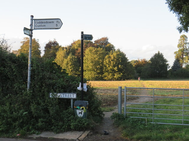
///harsh.yarn.cheek. Near Meopham, Kent
Nearby Locations
Related Wikis

Camer Park Country Park
Camer Country Park is in Meopham, in Kent, England. It is a former estate landscape, with grassland and woodland. == History == This park was originally...
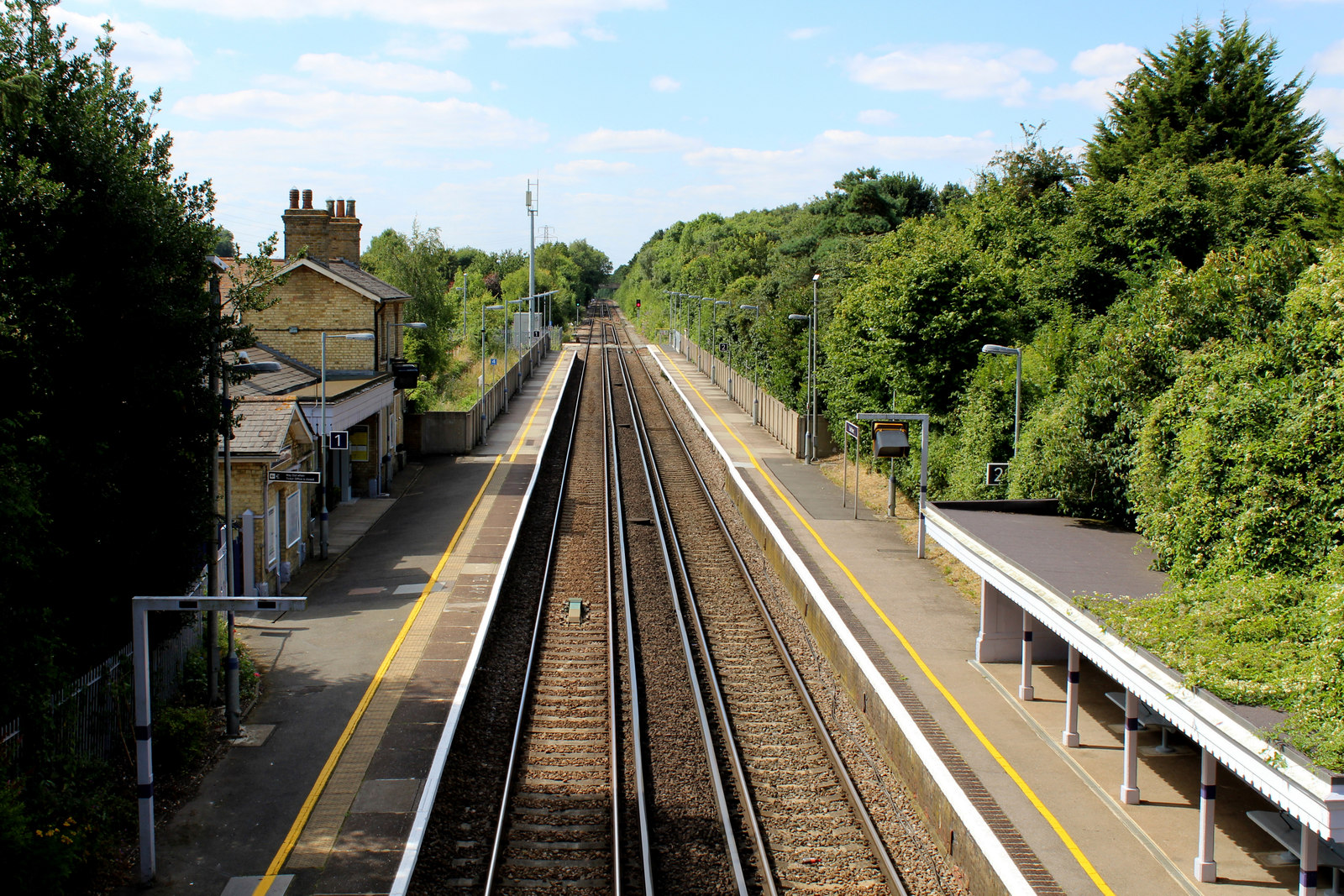
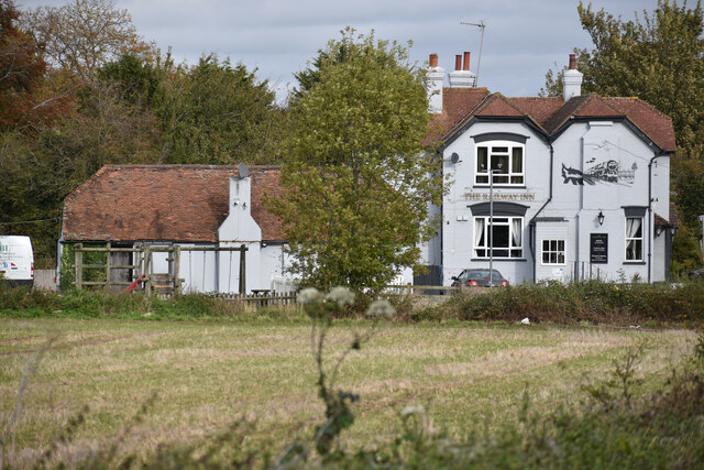
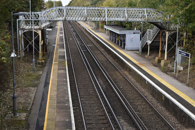
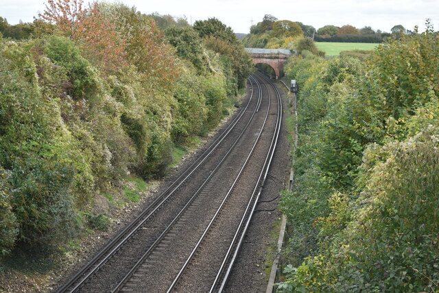
Sole Street railway station
Sole Street railway station is on the Chatham Main Line in England, serving the village of Sole Street, near Cobham, Kent. It is 26 miles 71 chains (43...
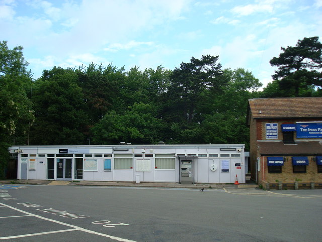
Meopham railway station
Meopham railway station is on the Chatham Main Line in England, serving the village of Meopham, Kent. It is 25 miles 76 chains (41.8 km) down the line...

Meopham School
Meopham School is a Coeducational secondary school with approximately 950 students, located in Meopham, Kent, England, UK. The school is non-selective...

Meopham
Meopham is a large linear village and civil parish in the Borough of Gravesham in north-west Kent, England, lying to the south of Gravesend. The parish...

Nurstead
Nurstead (or Nursted) is a locality, ecclesiastical parish and former civil parish situated 3 miles south of Gravesend and ½ a mile north of Meopham,...

Killick's Mill, Meopham
Killick's Mill is a Grade II* listed smock mill in Meopham, Kent, England that was built in 1801 and which has been restored. == History == Killick's...

Meopham air disaster
The Meopham Air Disaster occurred on 21 July 1930 when a Junkers F.13ge flying from Le Touquet to Croydon with two crew and four passengers crashed near...
Nearby Amenities
Located within 500m of 51.378915,0.36576307Have you been to Churchway Wood?
Leave your review of Churchway Wood below (or comments, questions and feedback).