Coneyburrow Shaw
Wood, Forest in Sussex Wealden
England
Coneyburrow Shaw
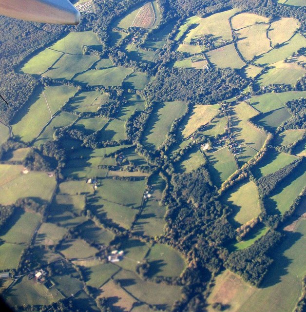
Coneyburrow Shaw is a picturesque woodland area located in Sussex, England. Covering an area of approximately 100 acres, this enchanting forest is known for its natural beauty and diverse wildlife. It is situated near the town of East Grinstead and is easily accessible to visitors.
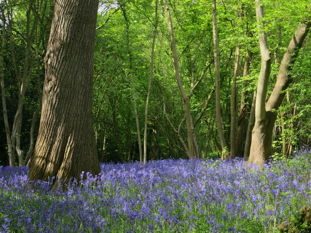
The woodland is characterized by a mix of deciduous and coniferous trees, creating a stunning display of colors throughout the year. Ancient oak trees majestically stand tall, providing a sense of timelessness and serenity. The forest floor is adorned with a variety of wildflowers, adding bursts of vibrant hues to the landscape.
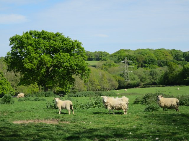
Coneyburrow Shaw is home to a rich and diverse array of wildlife. Bird enthusiasts will delight in spotting various species such as woodpeckers, owls, and thrushes. Squirrels scurry through the branches, while deer can occasionally be spotted grazing peacefully in the more secluded areas of the forest.
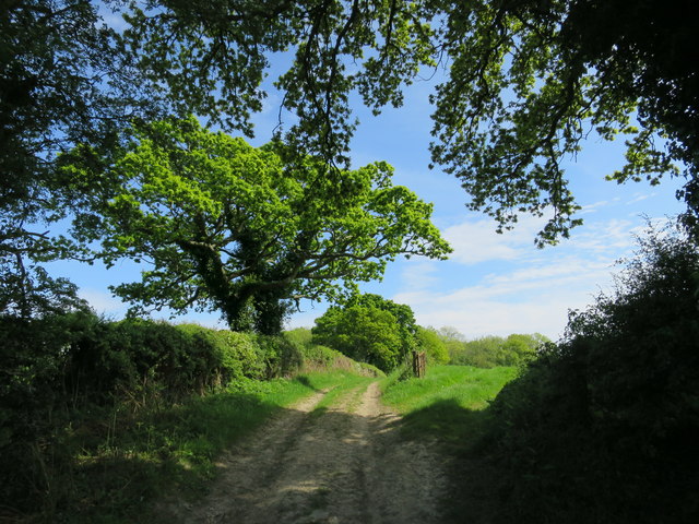
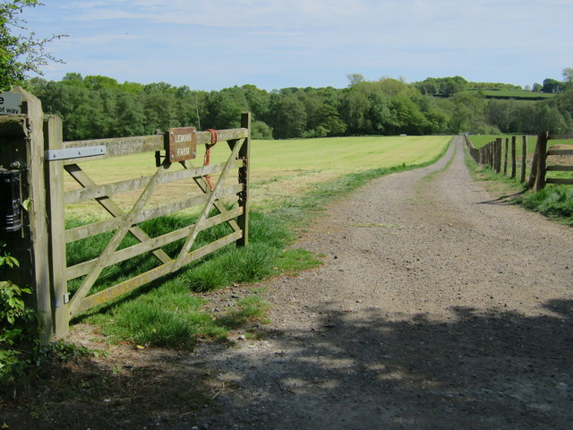
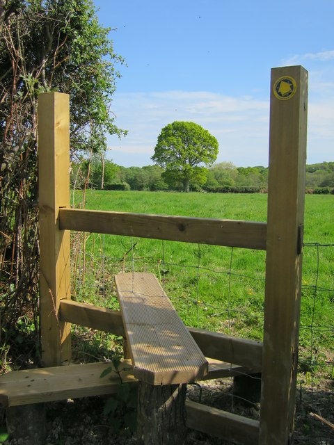
Visitors to Coneyburrow Shaw can explore the woodland through a network of well-maintained trails, allowing them to fully immerse themselves in nature's beauty. The forest provides an ideal setting for leisurely walks, picnics, and photography. Nature lovers will appreciate the tranquility and peacefulness that this woodland offers.
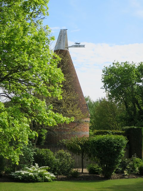
Additionally, Coneyburrow Shaw has a rich cultural and historical significance. It has been mentioned in various literary works and is believed to have inspired some famous authors. The woodland's timeless charm and natural splendor make it a must-visit destination for anyone seeking a retreat into nature.
If you have any feedback on the listing, please let us know in the comments section below.
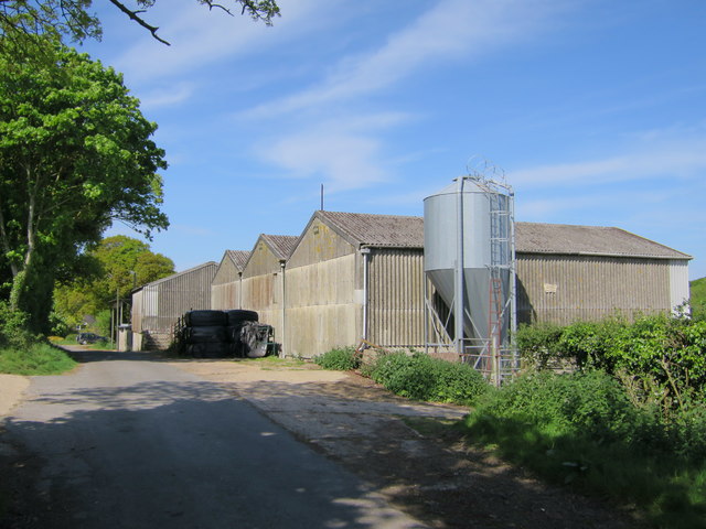
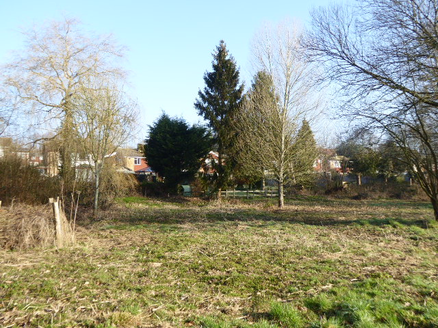
Coneyburrow Shaw Images
Images are sourced within 2km of 50.914345/0.33556301 or Grid Reference TQ6415. Thanks to Geograph Open Source API. All images are credited.


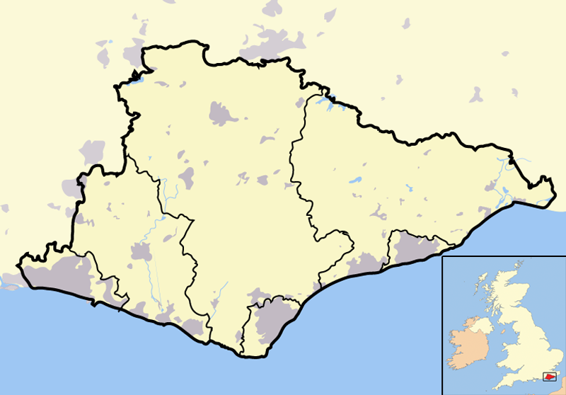
Coneyburrow Shaw is located at Grid Ref: TQ6415 (Lat: 50.914345, Lng: 0.33556301)
Administrative County: East Sussex
District: Wealden
Police Authority: Sussex
What 3 Words
///lawns.headsets.fund. Near Bodle Street, East Sussex
Nearby Locations
Related Wikis
List of local nature reserves in East Sussex
Local Nature Reserves (LNRs) are designated by local authorities under the National Parks and Access to the Countryside Act 1949. The local authority must...
List of Sites of Special Scientific Interest in East Sussex
In England, Sites of Special Scientific Interest (SSSIs) are designated by Natural England, which is responsible for protecting England's natural environment...
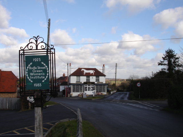
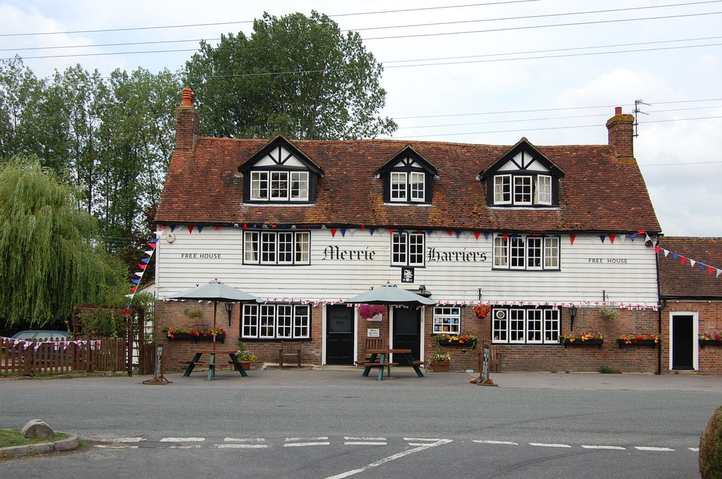
Bodle Street Green
Bodle Street Green is a small village in the civil parish of Warbleton, in the Wealden district of East Sussex, England. Its nearest town is Hailsham,...
Cowbeech
Cowbeech is a small village in the civil parish of Herstmonceux in the Wealden district of East Sussex, England. Its nearest town is Hailsham, which lies...
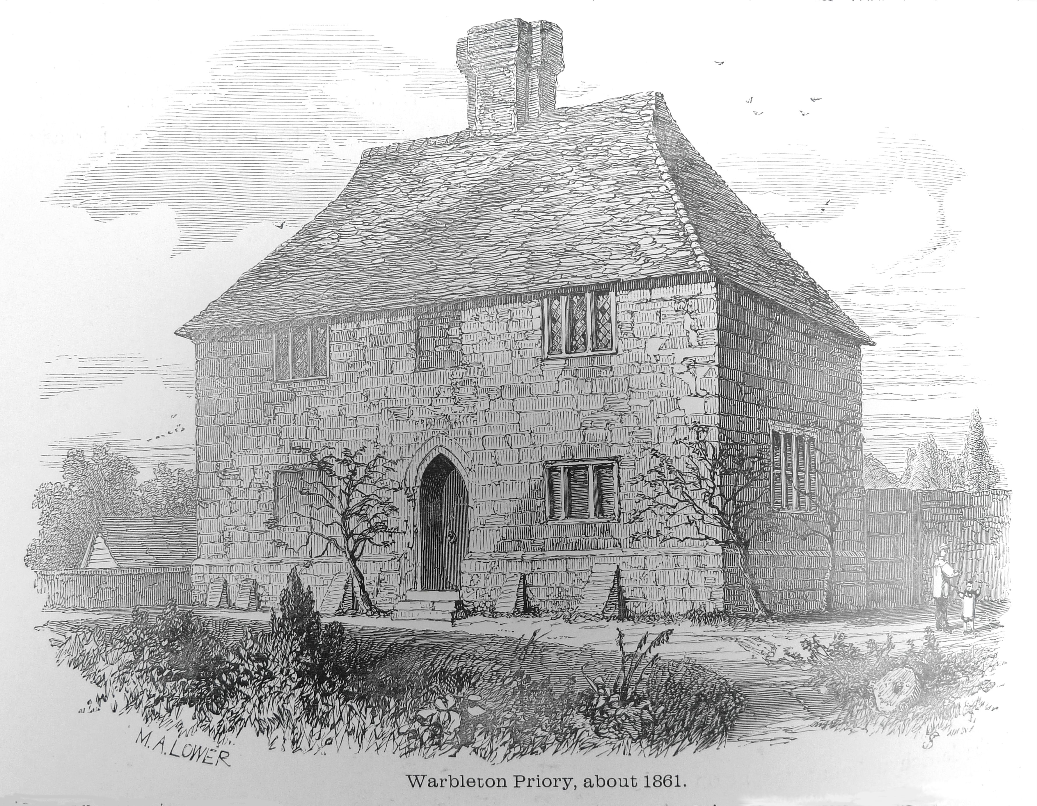
Warbleton Priory
Warbleton Priory was a medieval monastic house in East Sussex, England. The current house is a Grade II* listed building. == References == == External... ==
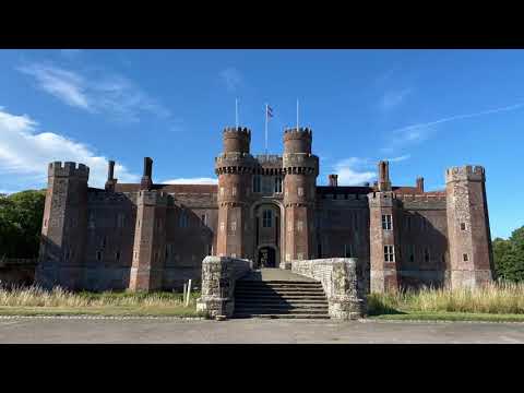
Herstmonceux
Herstmonceux ( HURSS-mən-ZOO, -SOO, or horss-MOWN-seez) is a village and civil parish in the Wealden District of East Sussex, England, which includes...

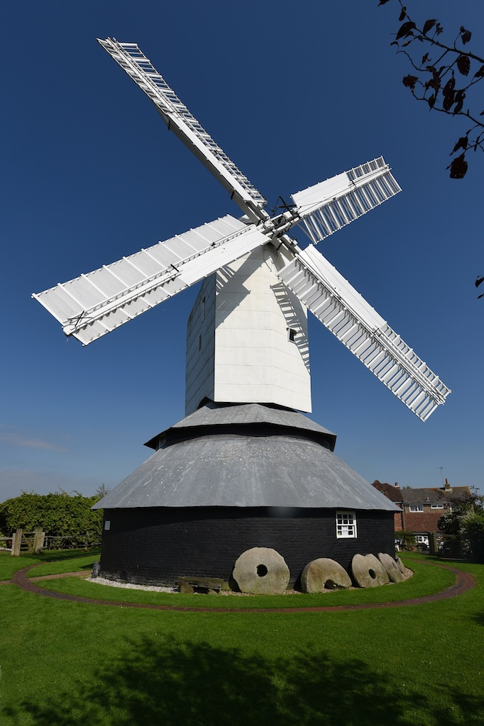
Windmill Hill, East Sussex
Windmill Hill is a village in the civil parish of Herstmonceux, in the Wealden district of East Sussex, England. In 2020 it had an estimated population...

Ashburnham, East Sussex
Ashburnham is a civil parish in the Rother district of East Sussex, England, situated to the west of Battle. It includes the settlements of Brownbread...
Related Videos


Herstmonceux Castle Grounds and Garden
Wandering around Herstmonceux Castle grounds and garden last Sept. 2021. Links / Products ...
Landscape Adventures S1 Ep9 | In Search of a Castle (at Herstmonceux)
After my planned trip to Chelwood Vachery on Friday went very wrong, I took an impromptu trip to the woodland around ...
Nearby Amenities
Located within 500m of 50.914345,0.33556301Have you been to Coneyburrow Shaw?
Leave your review of Coneyburrow Shaw below (or comments, questions and feedback).