Moorhen Pond Shaw
Wood, Forest in Kent Tonbridge and Malling
England
Moorhen Pond Shaw
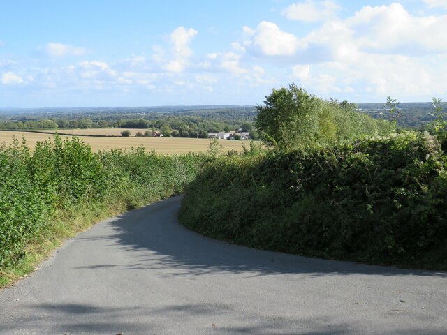
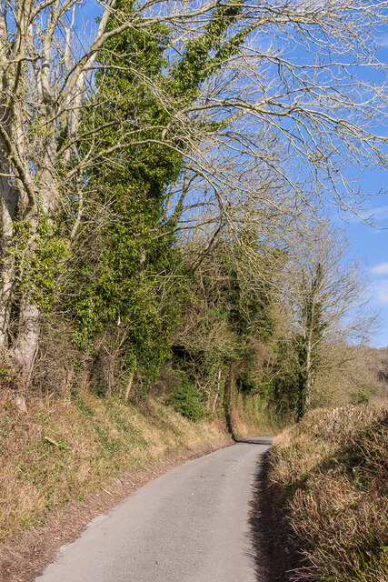
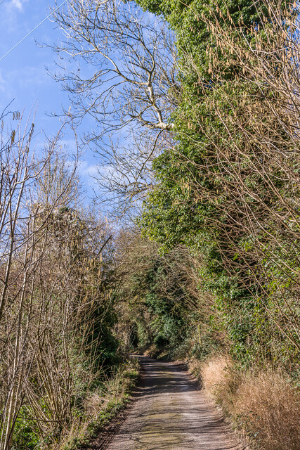
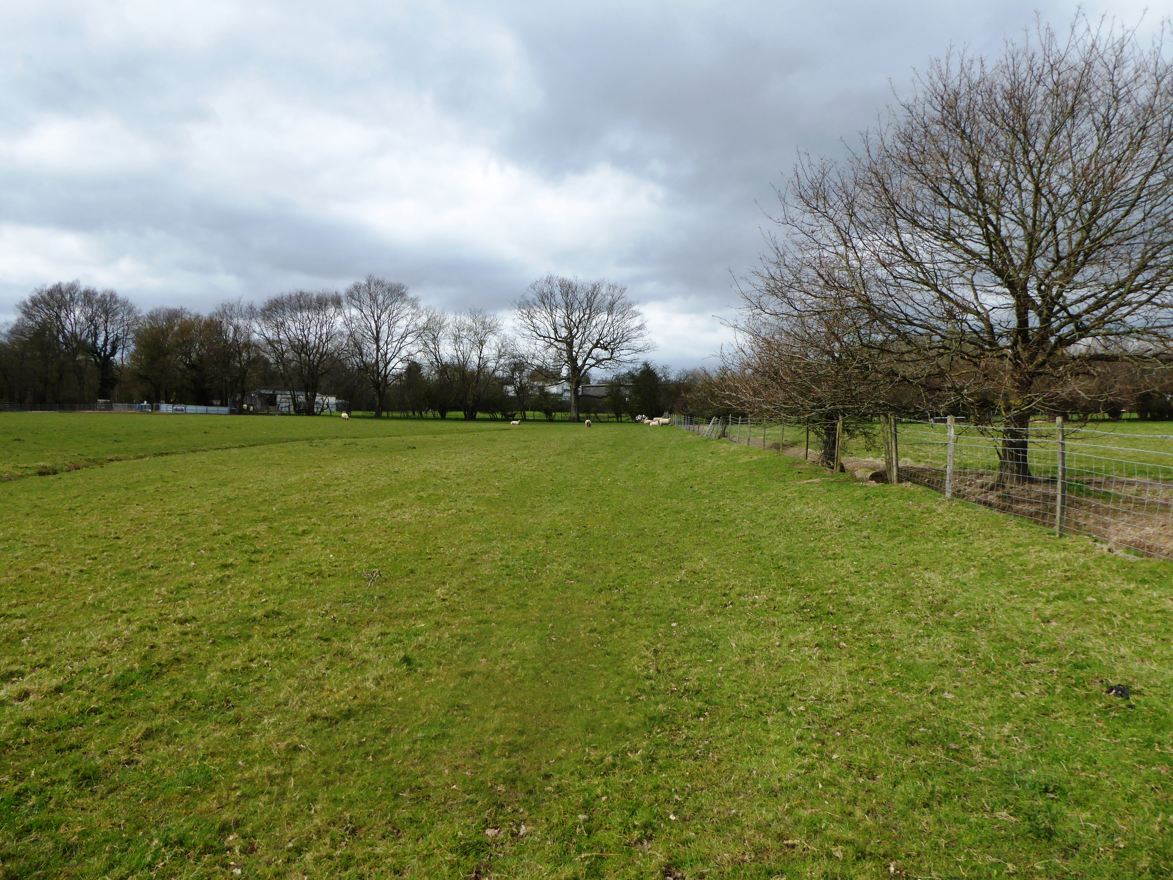
Moorhen Pond is a picturesque body of water located in Shaw, a small village in Kent, England. Situated amidst a dense woodland and surrounded by a lush forest, the pond offers a tranquil and serene atmosphere for visitors to enjoy.
Covering an area of approximately half an acre, Moorhen Pond is home to a diverse range of flora and fauna. The pond is primarily fed by a natural spring, resulting in crystal-clear water that supports a thriving ecosystem. Visitors can expect to see a variety of aquatic plants such as water lilies and reeds, providing a picturesque backdrop to the pond.
The wildlife at Moorhen Pond is abundant and varied. The pond is particularly known for its population of moorhens, from which it derives its name. These small, black water birds can often be seen gliding gracefully along the surface of the water or nesting in the nearby reeds. Additionally, visitors may spot other avian species such as ducks, geese, and herons, which are attracted to the pond for its tranquility and plentiful food sources.
Moorhen Pond also offers opportunities for leisure activities such as fishing and birdwatching. Anglers can try their luck at catching roach, perch, and carp, among other species that inhabit the pond. Birdwatchers can observe and document the diverse avifauna that frequent the area, making it a popular spot for nature enthusiasts.
Overall, Moorhen Pond in Shaw, Kent, is a peaceful and idyllic location that offers a true escape from the hustle and bustle of everyday life. Its natural beauty, diverse wildlife, and recreational opportunities make it a must-visit destination for anyone seeking a tranquil retreat in the heart of nature.
If you have any feedback on the listing, please let us know in the comments section below.
Moorhen Pond Shaw Images
Images are sourced within 2km of 51.307983/0.35242712 or Grid Reference TQ6459. Thanks to Geograph Open Source API. All images are credited.


Moorhen Pond Shaw is located at Grid Ref: TQ6459 (Lat: 51.307983, Lng: 0.35242712)
Administrative County: Kent
District: Tonbridge and Malling
Police Authority: Kent
What 3 Words
///snacks.highs.darker. Near Wrotham, Kent
Nearby Locations
Related Wikis
Trottiscliffe Meadows
Trottiscliffe Meadows is a 4.8-hectare (12-acre) biological Site of Special Scientific Interest south of Trottiscliffe in Kent. It is a Nature Conservation...

Addington, Kent
Addington is a village in the English county of Kent. It is close to the M20 motorway, and between the villages of Wrotham Heath and West Malling. In the...
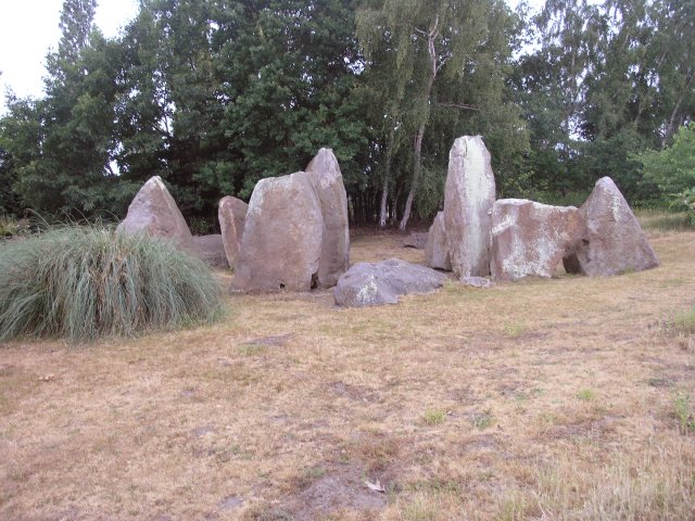
Chestnuts Long Barrow
Chestnuts Long Barrow, also known as Stony Warren or Long Warren, is a chambered long barrow near the village of Addington in the south-eastern English...
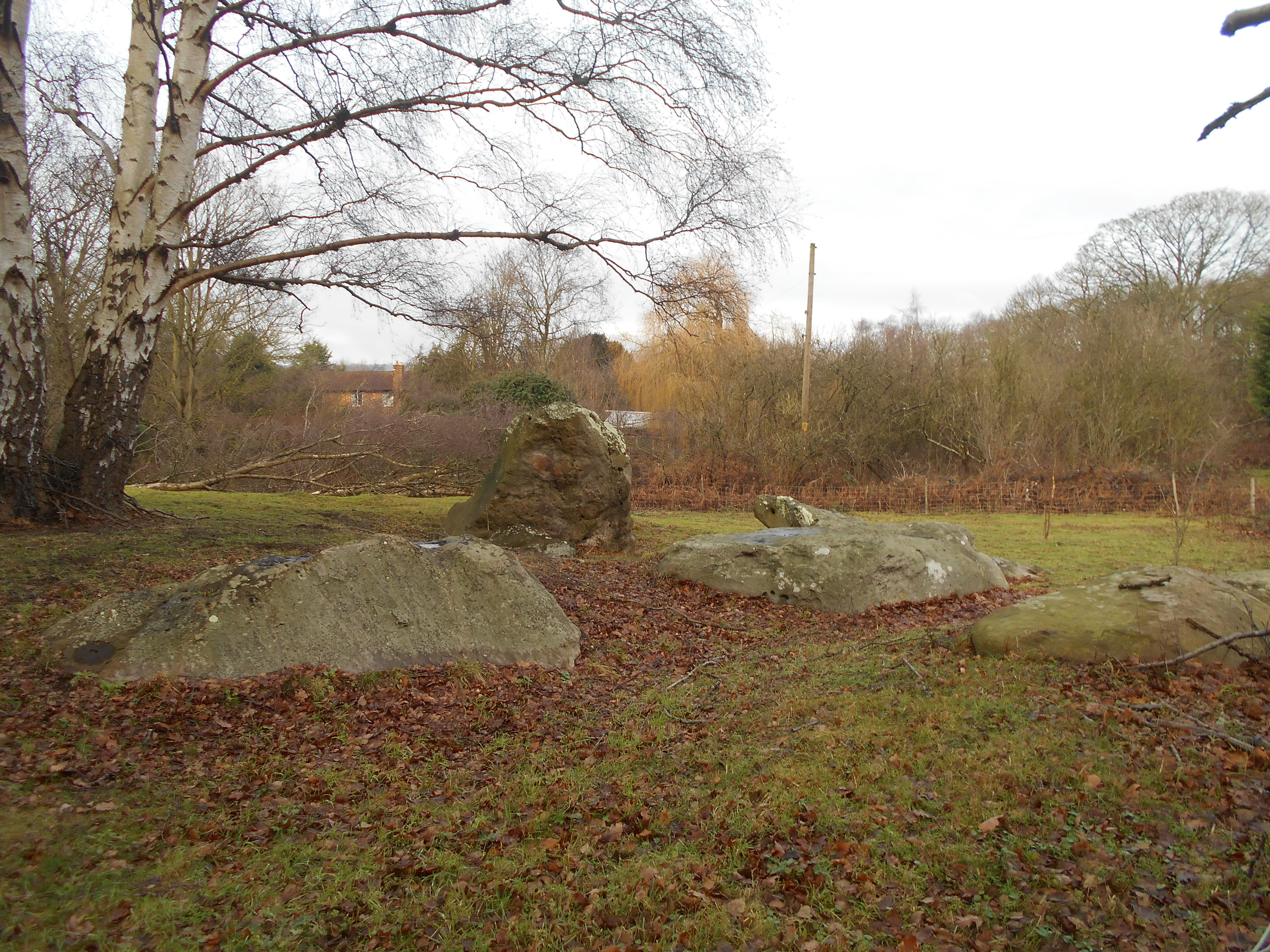
Addington Long Barrow
Addington Long Barrow is a chambered long barrow located near the village of Addington in the southeastern English county of Kent. Probably constructed...

Wrotham Heath
Wrotham Heath is a settlement in the borough of Tonbridge and Malling in Kent, England. It is part of the civil parish of Wrotham, and is approximately...
Trottiscliffe
Trottiscliffe ( TROZ-lee) is a village in Kent, England about 2.5 miles (4 km) north west of West Malling. It is often incorrectly spelled Trosley after...
Church of St Peter and St Paul, Trottiscliffe
The Church of St Peter and St Paul is an active Anglican parish church in Church Lane, Trottiscliffe, in the Borough of Tonbridge and Malling, Kent, England...

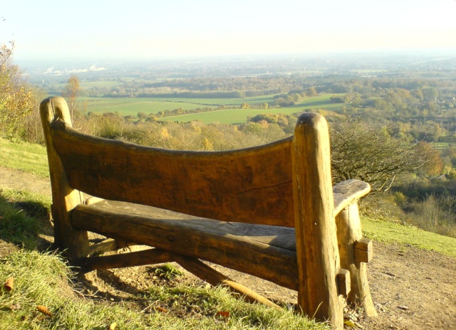
Trosley Country Park
Trosley Country Park is in Trottiscliffe, near Vigo, in Kent, England. Once part of a large woodland estate then after many changes, it was passed to Kent...
Nearby Amenities
Located within 500m of 51.307983,0.35242712Have you been to Moorhen Pond Shaw?
Leave your review of Moorhen Pond Shaw below (or comments, questions and feedback).