Collins's Shaw
Wood, Forest in Essex Brentwood
England
Collins's Shaw

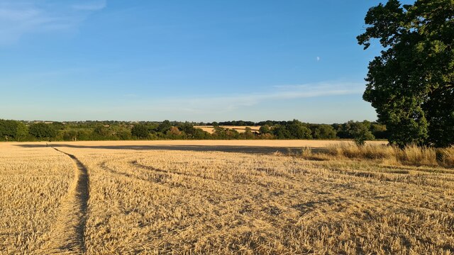
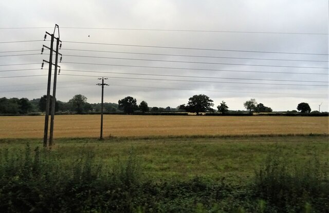
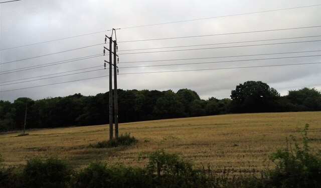
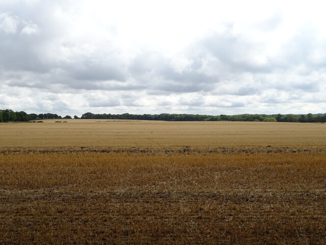
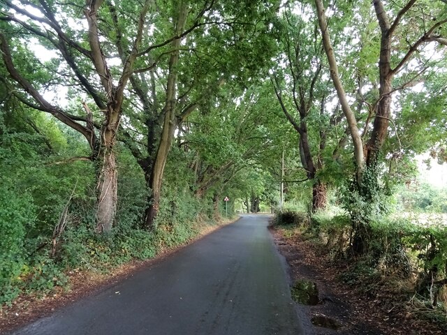
Collins's Shaw, Essex is a picturesque woodland located in the county of Essex, England. Also known as Wood or Forest, it covers a vast area of approximately 100 hectares. The Shaw is situated near the village of Collins, which lends its name to the woodland.
The woodland is characterized by its diverse range of flora and fauna, making it an ideal habitat for various species. The canopy is predominantly composed of oak, beech, and birch trees, providing a rich and vibrant environment. Underneath the towering trees, a dense undergrowth of ferns, brambles, and wildflowers thrives, creating a beautiful tapestry of colors.
Collins's Shaw is not only visually stunning but also offers a tranquil haven for nature enthusiasts and walkers. The woodland boasts a network of well-maintained footpaths, allowing visitors to explore its many hidden gems. As visitors wander through the Shaw, they may come across babbling brooks, small ponds, and meadows that teem with wildlife.
The woodland is home to a variety of animal species, including deer, foxes, badgers, and a multitude of birds. Birdwatchers can delight in the chance to spot woodpeckers, owls, and various songbirds in their natural habitat. The woodland's biodiversity also supports a wide array of insects, such as butterflies and dragonflies, adding to the enchanting atmosphere.
Collins's Shaw, Essex is a cherished natural treasure, offering both locals and tourists an opportunity to immerse themselves in the beauty of the English countryside. Whether it's a leisurely stroll, birdwatching, or simply enjoying the serenity of nature, the woodland provides a welcome escape from the hustle and bustle of urban life.
If you have any feedback on the listing, please let us know in the comments section below.
Collins's Shaw Images
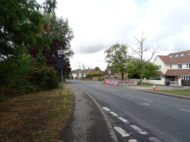
Images are sourced within 2km of 51.635673/0.36830787 or Grid Reference TQ6395. Thanks to Geograph Open Source API. All images are credited.


Collins's Shaw is located at Grid Ref: TQ6395 (Lat: 51.635673, Lng: 0.36830787)
Administrative County: Essex
District: Brentwood
Police Authority: Essex
What 3 Words
///mole.liner.monkey. Near Billericay, Essex
Nearby Locations
Related Wikis

Hutton Country Park
Hutton Country Park is a 37.4 hectare Local Nature Reserve in Brentwood in Essex. It is owned and managed by Brentwood Borough Council.The River Wid forms...

Hutton, Essex
Hutton is an area of Brentwood, Essex, England. It has good links to Central London (around 20 miles (32 km) to the south west) via Shenfield train station...

Havering's Grove
51.6269°N 0.3890°E / 51.6269; 0.3890 Havering’s Grove is a village in Essex, most of which lies in the Borough of Brentwood, with part in the Borough...

Heybridge, Brentwood
Heybridge is an urban settlement in Brentwood borough of Essex, England, contiguous with the village of Ingatestone. The main development comprises a mixture...

Padham's Green
Padham's Green is a hamlet in the Brentwood district, in the English county of Essex. It is near the town of Ingatestone. It is assumed to be a manorial...
St Martin's School, Brentwood
St Martin's School is a coeducational secondary school and sixth form with academy status, located in the Hutton area of Brentwood, Essex, England. �...

Mountnessing
Mountnessing is a village and civil parish in the Borough of Brentwood in south Essex, England. It is situated to the north-east of Brentwood, south-west...
Mountnessing Windmill
Mountnessing Windmill is a grade II* listed post mill at Mountnessing, Essex, England. Built in 1807, it was most recently restored to working order in...
Nearby Amenities
Located within 500m of 51.635673,0.36830787Have you been to Collins's Shaw?
Leave your review of Collins's Shaw below (or comments, questions and feedback).