Allen's Wood
Wood, Forest in Sussex Wealden
England
Allen's Wood
Allen's Wood is a picturesque woodland located in the county of Sussex, England. Situated in close proximity to the bustling town of Crawley, this idyllic forest covers an area of approximately 50 acres. The wood is named after the renowned botanist, Allen Duncan, who first discovered the unique flora and fauna within its boundaries.
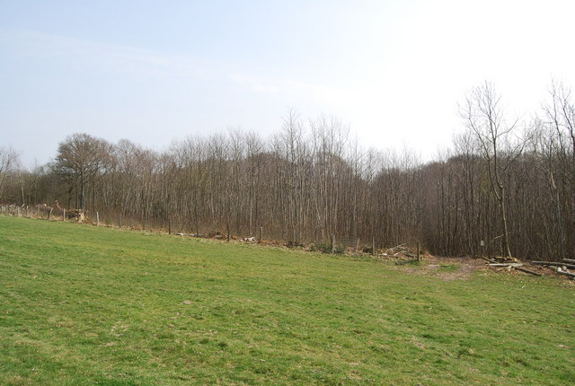
The woodland is home to a diverse range of tree species, including oak, beech, and birch, which create a vibrant canopy that provides shade and shelter to the forest floor. The forest floor itself is adorned with a rich carpet of bluebells and wildflowers during the spring season, attracting nature enthusiasts and photographers alike.
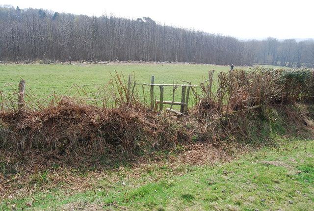
Allen's Wood boasts a network of well-maintained footpaths and trails that wind through the trees, allowing visitors to explore the peaceful surroundings at their own pace. The wood is a haven for wildlife, providing a habitat for various bird species, small mammals, and a thriving population of butterflies.
In addition to its natural beauty, Allen's Wood also holds historical significance. The site is believed to have been used by ancient inhabitants for hunting and gathering, with remnants of flint tools and pottery found in the area. This history adds an extra layer of intrigue and fascination for those with an interest in archaeology and the past.
With its tranquil atmosphere, stunning scenery, and captivating biodiversity, Allen's Wood is a cherished gem in the heart of Sussex, offering visitors a chance to reconnect with nature and experience the beauty of a traditional English woodland.
If you have any feedback on the listing, please let us know in the comments section below.
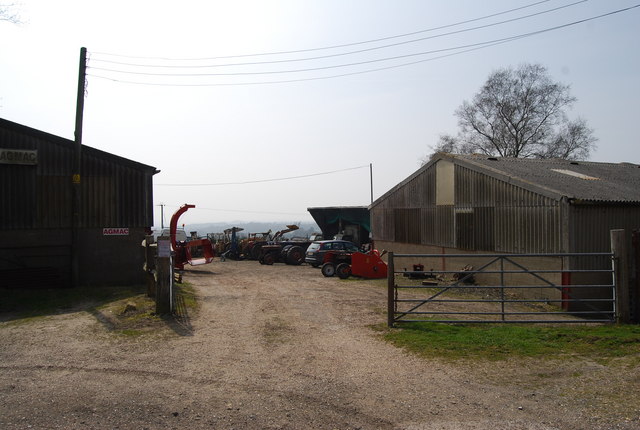
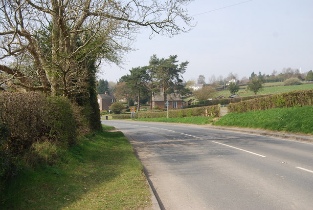
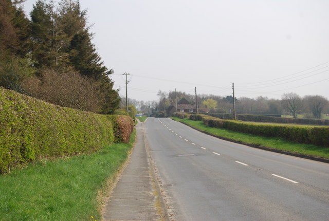
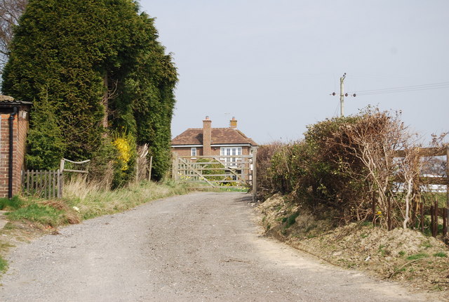
Allen's Wood Images
Images are sourced within 2km of 50.943786/0.33222666 or Grid Reference TQ6318. Thanks to Geograph Open Source API. All images are credited.

Allen's Wood is located at Grid Ref: TQ6318 (Lat: 50.943786, Lng: 0.33222666)
Administrative County: East Sussex
District: Wealden
Police Authority: Sussex
What 3 Words
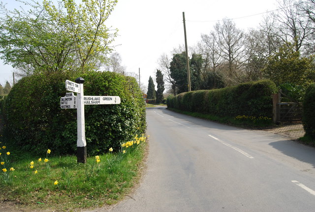
///acted.entertainer.facelift. Near Bodle Street, East Sussex
Nearby Locations
Related Wikis
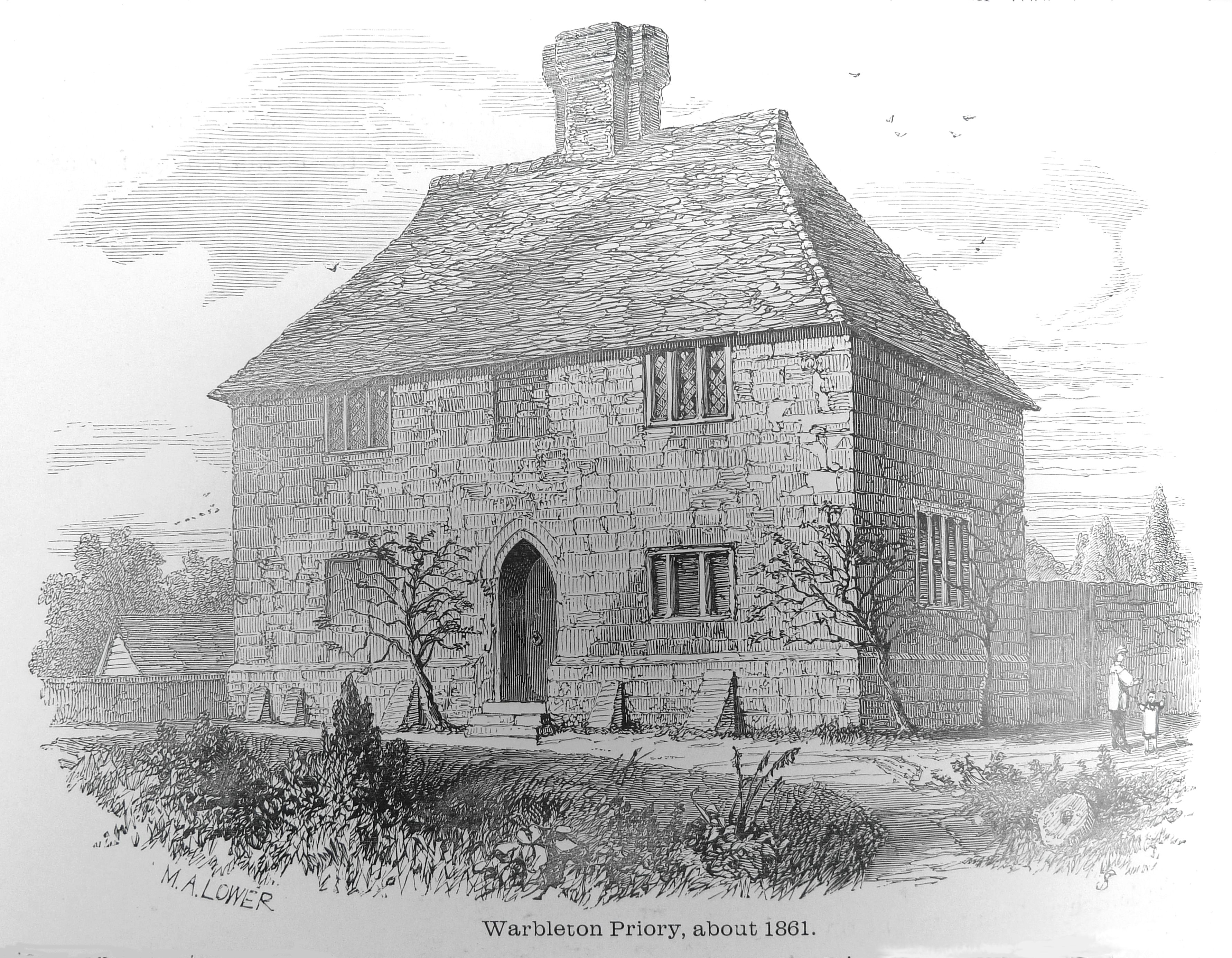
Warbleton Priory
Warbleton Priory was a medieval monastic house in East Sussex, England. The current house is a Grade II* listed building. == References == == External... ==

Rushlake Green
Rushlake Green is a small village in the civil parish of Warbleton in the Wealden district of East Sussex, England. Rushlake Green is situated on the slopes...

Dallington, East Sussex
Dallington is a village and civil parish in the Rother district of East Sussex, England. It is located eight miles (13 km) west of Battle and five miles...

Punnett's Town
Punnett's Town is a village in the Wealden district of East Sussex. The main street is Battle road, which is part of the B2096 road. Blackdown Mill is...
Have you been to Allen's Wood?
Leave your review of Allen's Wood below (or comments, questions and feedback).