Crow's Wood

Wood, Forest in Essex Uttlesford

England

Crow's Wood

Rands Road The road crosses a small stream here, the parish boundary between High Roding and High Easter.
Rands Road Credit: Robin Webster

Located in the county of Essex, Crow's Wood is a picturesque forest that spans over several acres of land. Situated in the southeastern part of England, this wood is a popular destination for nature enthusiasts and outdoor adventurers alike.

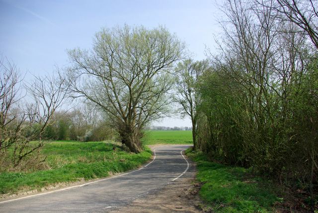
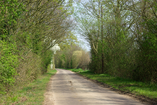
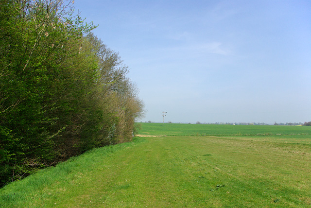
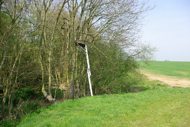
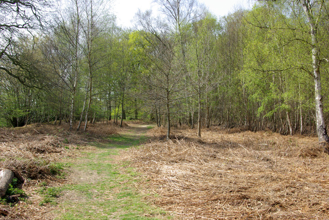
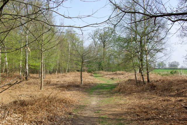
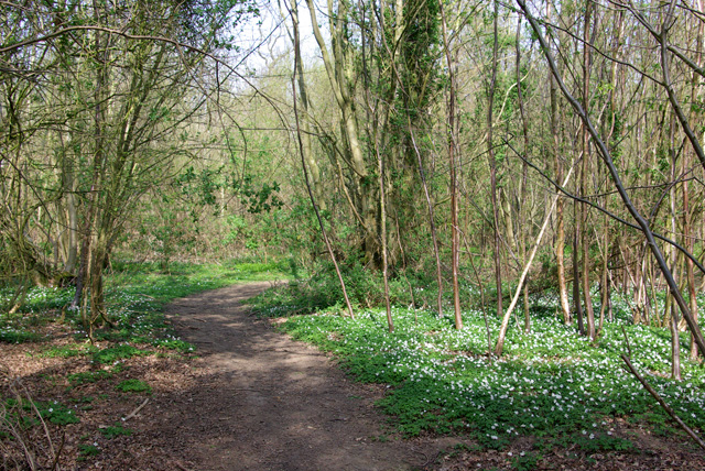
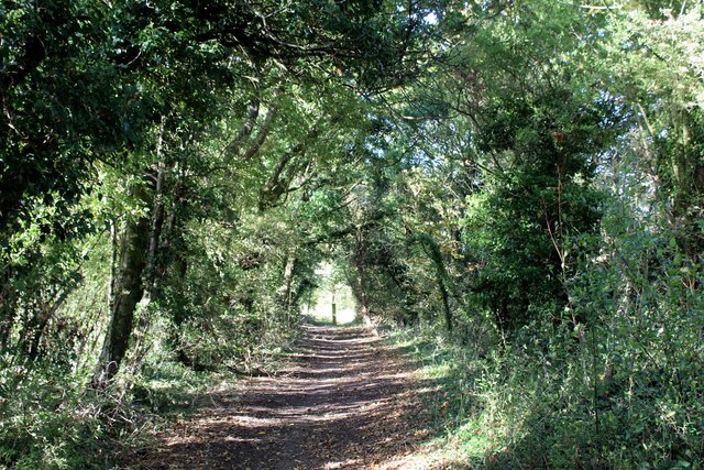
Crow's Wood is characterized by its dense vegetation, consisting of a variety of trees, shrubs, and plants. The towering oak trees dominate the landscape, creating a serene and peaceful ambiance. The forest floor is covered in a thick layer of moss, making it a haven for various types of small animals and insects.

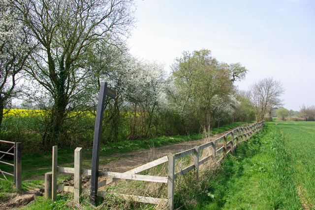
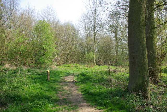
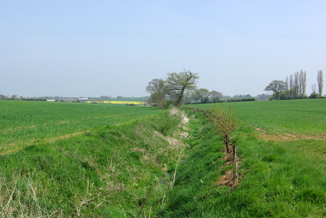
The wood is intersected by winding pathways, allowing visitors to explore its natural beauty on foot. These trails meander through the forest, offering breathtaking views of the surrounding countryside. Along the way, visitors may come across charming streams and tranquil ponds, adding to the serene atmosphere.

Birdwatchers will be delighted by the wide range of avian species that call Crow's Wood their home. From woodpeckers to owls, the forest is a haven for birdlife, making it a popular spot for birdwatching enthusiasts.

Crow's Wood also has a rich history, with evidence of settlements dating back to ancient times. Archaeological finds in the area suggest that the forest was once inhabited by prehistoric communities. Today, remnants of these settlements can still be seen, adding an element of intrigue to the wood's allure.

In conclusion, Crow's Wood in Essex is a captivating forest that offers a peaceful retreat from the bustling city life. Its diverse flora and fauna, scenic trails, and historical significance make it a must-visit destination for nature lovers and history buffs.

If you have any feedback on the listing, please let us know in the comments section below.

Crow's Wood Images

Images are sourced within 2km of 51.825725/0.37695954 or Grid Reference TL6316. Thanks to Geograph Open Source API. All images are credited.

Rands Road The road crosses a small stream here, the parish boundary between High Roding and High Easter.
Rands Road
The road crosses a small stream here, the parish boundary between High Roding and High Easter.
Lane from High Roding to Barnston Between Proverbs Green and Bishop's Green.
Lane from High Roding to Barnston
Between Proverbs Green and Bishop's Green.
Bridleway to Roffey The start of the bridleway near Bishop's Green.
Bridleway to Roffey
The start of the bridleway near Bishop's Green.
Path, Barnston Lays Garnetts Wood, which includes the eastern woodland called Barnston Lays, is owned by Essex CC and has public access with marked paths.
Path, Barnston Lays
Garnetts Wood, which includes the eastern woodland called Barnston Lays, is owned by Essex CC and has public access with marked paths.
Eastern edge of Barnston Lays Garnetts Wood, which includes the eastern woodland called Barnston Lays, is owned by Essex CC and has public access with marked paths. This field margin is not one of them.
Eastern edge of Barnston Lays
Garnetts Wood, which includes the eastern woodland called Barnston Lays, is owned by Essex CC and has public access with marked paths. This field margin is not one of them.
Ditch east of Barnston Lays This drains into Barnston Brook, a tributary of the River Chelmer.
Ditch east of Barnston Lays
This drains into Barnston Brook, a tributary of the River Chelmer.
Shooting platform, Barnston Lays There were certainly a lot of Fallow Deer crashing around in the wood.
Shooting platform, Barnston Lays
There were certainly a lot of Fallow Deer crashing around in the wood.
Path, Barnston Lays In the southern part of the wood, which has a more acidic flora than the rest, although the geological map shows no distinction, with chalky boulder clay supposedly overlying older deposits.
Path, Barnston Lays
In the southern part of the wood, which has a more acidic flora than the rest, although the geological map shows no distinction, with chalky boulder clay supposedly overlying older deposits.
Path in Garnetts Wood In the southern part of the wood, which has a more acidic flora than the rest.
Path in Garnetts Wood
In the southern part of the wood, which has a more acidic flora than the rest.
Stagden Cross Farmhouse Grade II Listed building located on The Street, Stagden Cross.
The intricate brickwork on the chimney stacks, particularly caught my eye.
Stagden Cross Farmhouse
Grade II Listed building located on The Street, Stagden Cross. The intricate brickwork on the chimney stacks, particularly caught my eye.
Essex Way approaching Stagden Cross from the South A green tunnel is formed on this enclose track, adopted by the Essex Way
Essex Way approaching Stagden Cross from the South
A green tunnel is formed on this enclose track, adopted by the Essex Way
The Street heading East away from Stagden Cross The road to Pleshey
The Street heading East away from Stagden Cross
The road to Pleshey
Essex Way East of Stagden Cross One of the first county long distance footpath devised, tracing its history back to 1971.
It was also the first to make an appearance within the county borders of Essex.
The 81 mile trail starts outside the underground station in Epping, passing through Chipping Ongar, Pleshey, White Notley, Coggeshall, Great Horkesley, Dedham and Manningtree to the High Lighthouse in Harwich.  It runs through the entire county in a rough south west to north east line.
Essex Way East of Stagden Cross
One of the first county long distance footpath devised, tracing its history back to 1971. It was also the first to make an appearance within the county borders of Essex. The 81 mile trail starts outside the underground station in Epping, passing through Chipping Ongar, Pleshey, White Notley, Coggeshall, Great Horkesley, Dedham and Manningtree to the High Lighthouse in Harwich. It runs through the entire county in a rough south west to north east line.
Footpath heading North towards Upper Harveys The public footpath is located on the definitive map, although not visible on the ground.
Footpath heading North towards Upper Harveys
The public footpath is located on the definitive map, although not visible on the ground.
Footpath to Upper Harveys branching off from the Essex Way
Direction Sign – Signpost near Rolfe's Farm in High Easter Located on a grass triangle in the centre of a T junction near Rolfe's Farm in High Easter parish. 3 arms and half-moon finial.

Milestone Society National ID: EX_TL6415
Direction Sign – Signpost near Rolfe's Farm in High Easter
Located on a grass triangle in the centre of a T junction near Rolfe's Farm in High Easter parish. 3 arms and half-moon finial. Milestone Society National ID: EX_TL6415
Upper Harveys from the Essex Way View of footpath branching north from the Essex Way, between Pleshey and Stagden Cross
Upper Harveys from the Essex Way
View of footpath branching north from the Essex Way, between Pleshey and Stagden Cross
Show me another place!

Crow's Wood is located at Grid Ref: TL6316 (Lat: 51.825725, Lng: 0.37695954)

Administrative County: Essex

District: Uttlesford

Police Authority: Essex

What 3 Words

///router.partly.history. Near Little Dunmow, Essex

Nearby Locations

Crow's Wood Green Street

Related Wikis

Bishop's Green, Essex

Bishop's Green is a hamlet in the civil parish of High Easter in the Uttlesford district of Essex, England. The hamlet is on the road between the villages...

Garnetts Wood and Barnston Lays

Garnetts Wood and Barnston Lays is a 25 hectare biological Site of Special Scientific Interest two miles south of Great Dunmow in Essex. It is owned and...

Stagden Cross

Stagden Cross is a hamlet in the civil parish of High Easter, and the Uttlesford district of Essex, England. The hamlet is 1 mile (1.6 km) east from High...

Wellstye Green

Wellstye Green or Wells Tye Green is a hamlet located between the villages of High Easter and Barnston, in the Uttlesford district of Essex. It is the...

Hounslow Green

Hounslow Green or Onslow Green is a hamlet on the B1008 road (historically the A130 road), located in between the villages of Barnston and Ford End, in...

Barnston, Essex

Barnston is a village and civil parish in Essex, England. The village is on the B1008 road, about 1+3⁄4 miles (2.8 km) south-east of Great Dunmow and...

High Easter

High Easter is a village and a civil parish in the Uttlesford district of Essex, England. The village is 7 miles (11 km) northwest from the city of and...

North End, Essex

North End is a hamlet at the northern end of the parish of Great Waltham in the Chelmsford district of Essex, England. Black Chapel Cottage, a former priest...

Nearby Amenities

Located within 500m of 51.825725,0.37695954
Post Box
Lat/Long: 51.8264705/0.3712266
Give Way
Direction: forward
Lat/Long: 51.8265079/0.3712327
The data included in this document is from www.openstreetmap.org. The data is made available under ODbL.

Have you been to Crow's Wood?

Leave your review of Crow's Wood below (or comments, questions and feedback).