Collier's Wood
Wood, Forest in Sussex Wealden
England
Collier's Wood
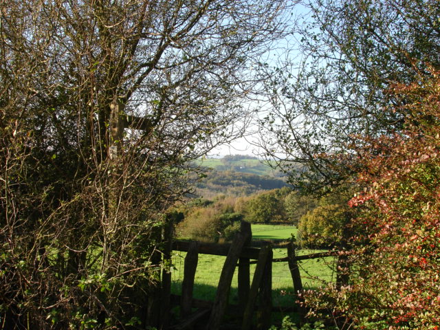
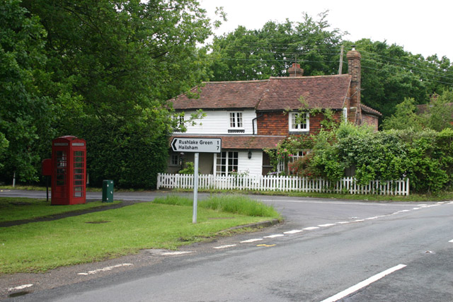
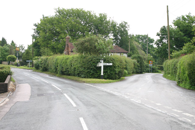
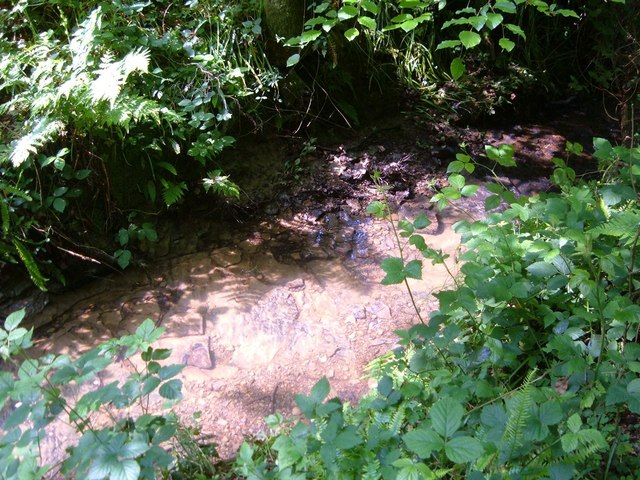
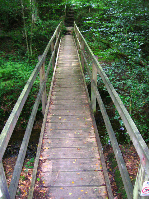
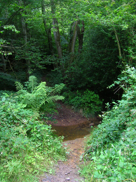
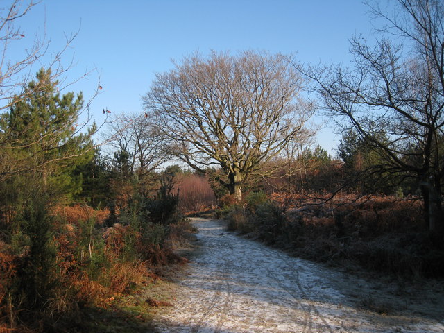
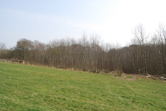
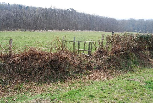
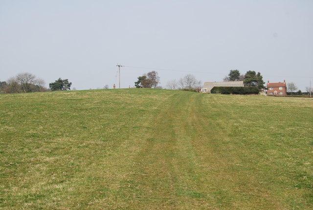
Collier's Wood is a small settlement located in Sussex, England. Situated within a dense forest, it is known for its picturesque natural beauty and tranquil atmosphere. The wood itself is a mix of deciduous and evergreen trees, creating a diverse ecosystem that attracts nature enthusiasts and hikers from all around.
The wood is home to a variety of wildlife, including deer, squirrels, and numerous bird species. It offers a peaceful retreat for those looking to escape the hustle and bustle of city life, providing ample opportunities for walking, jogging, or simply enjoying a picnic amidst the serene surroundings.
In addition to its natural attractions, Collier's Wood is also rich in history. The name "Collier's Wood" is believed to have originated from the coal mines that were once present in the area during the industrial revolution. These mines provided a source of employment for the local community and contributed to the growth of the settlement.
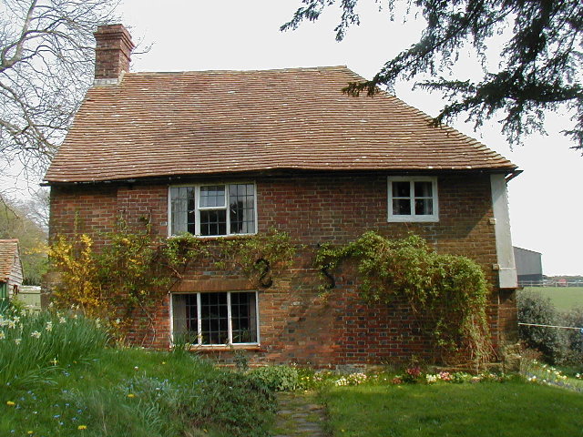
Today, Collier's Wood retains its traditional charm, with a scattering of cottages and farmhouses nestled amongst the trees. The community is close-knit and welcoming, with a strong sense of pride in their natural surroundings.
Visitors to Collier's Wood can expect a peaceful and rejuvenating experience, surrounded by the beauty of nature. Whether it's exploring the forest trails, spotting wildlife, or simply taking in the breathtaking views, Collier's Wood offers a unique and unforgettable experience for nature lovers and history enthusiasts alike.
If you have any feedback on the listing, please let us know in the comments section below.
Collier's Wood Images
Images are sourced within 2km of 50.947968/0.33135395 or Grid Reference TQ6319. Thanks to Geograph Open Source API. All images are credited.


Collier's Wood is located at Grid Ref: TQ6319 (Lat: 50.947968, Lng: 0.33135395)
Administrative County: East Sussex
District: Wealden
Police Authority: Sussex
What 3 Words
///sanded.dreading.pins. Near Bodle Street, East Sussex
Nearby Locations
Related Wikis
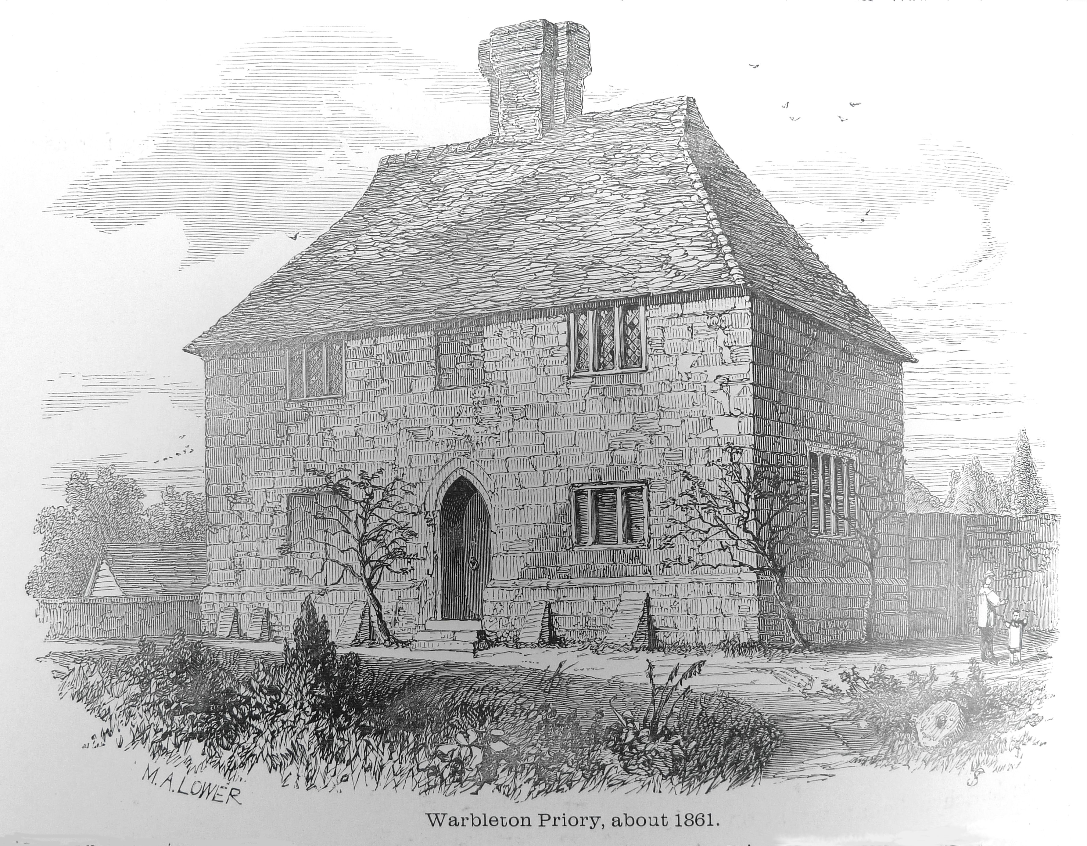
Warbleton Priory
Warbleton Priory was a medieval monastic house in East Sussex, England. The current house is a Grade II* listed building. == References == == External... ==

Rushlake Green
Rushlake Green is a small village in the civil parish of Warbleton in the Wealden district of East Sussex, England. Rushlake Green is situated on the slopes...

Punnett's Town
Punnett's Town is a village in the Wealden district of East Sussex. The main street is Battle road, which is part of the B2096 road. Blackdown Mill is...

Dallington, East Sussex
Dallington is a village and civil parish in the Rother district of East Sussex, England. It is located eight miles (13 km) west of Battle and five miles...

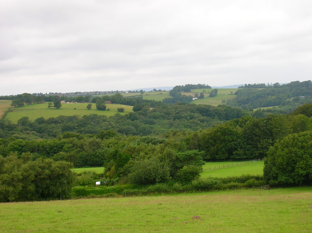
Dallington Forest
Dallington Forest is a 16.1-hectare (40-acre) biological Site of Special Scientific Interest (SSSI) east of Heathfield in East Sussex. The SSSI is part...

Blackdown Mill, Punnetts Town
Blackdown Mill or Cherry Clack Mill is a grade II listed smock mill at Punnetts Town, East Sussex, England, which has been restored. == History == Blackdown...
Bingletts Wood
Bingletts Wood is a 16-hectare (40-acre) biological Site of Special Scientific Interest east of Heathfield in East Sussex.Part of this ancient wood is...

East Sussex
East Sussex is a ceremonial county in South East England. It is bordered by Kent to the north-east, West Sussex to the west, Surrey to the north-west,...
Have you been to Collier's Wood?
Leave your review of Collier's Wood below (or comments, questions and feedback).