Fen Ditton
Settlement in Cambridgeshire South Cambridgeshire
England
Fen Ditton

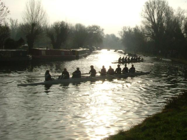
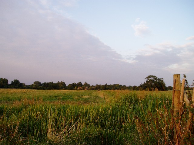
Fen Ditton is a quaint village located in the county of Cambridgeshire, England. Situated just two miles northeast of Cambridge city center, it enjoys the benefits of being close to the vibrant city while maintaining a peaceful and rural atmosphere. The village is nestled along the banks of the River Cam, offering beautiful views and ample opportunities for riverside walks and boating.
Although Fen Ditton is small in size, it boasts a rich history that dates back to the Roman times. Evidence of its past can be seen in the charming thatched cottages and historic buildings that line its streets. The village is also home to the picturesque Church of St. Mary the Virgin, a Grade I listed building that showcases stunning architecture.
Despite its tranquil setting, Fen Ditton is well-connected to the rest of Cambridgeshire and beyond. The nearby Cambridge North railway station provides convenient access to London, making it an ideal location for commuters. Additionally, the village is served by regular bus services, ensuring easy transportation for residents and visitors alike.
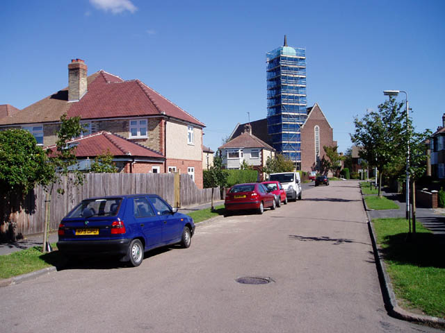
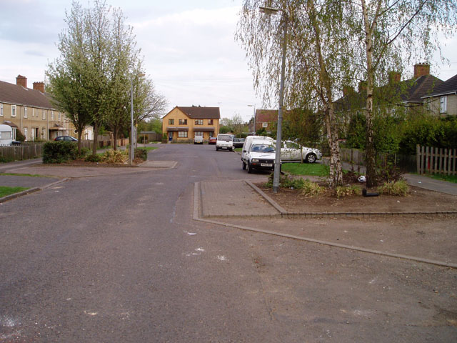
Fen Ditton offers a range of amenities to cater to its residents' needs. These include a village hall, a primary school, a pub, and a charming local shop. The community spirit is strong, with various events and activities taking place throughout the year, fostering a close-knit and friendly atmosphere.
Overall, Fen Ditton is a delightful village that combines its historical charm with modern conveniences, making it an attractive place to live or visit for those seeking a peaceful retreat with easy access to the nearby city of Cambridge.
If you have any feedback on the listing, please let us know in the comments section below.
Fen Ditton Images
Images are sourced within 2km of 52.22114/0.169813 or Grid Reference TL4860. Thanks to Geograph Open Source API. All images are credited.


Fen Ditton is located at Grid Ref: TL4860 (Lat: 52.22114, Lng: 0.169813)
Administrative County: Cambridgeshire
District: South Cambridgeshire
Police Authority: Cambridgeshire
What 3 Words
///drill.beefed.picnic. Near Cambridge, Cambridgeshire
Nearby Locations
Related Wikis

Fen Ditton
Fen Ditton is a village on the northeast edge of Cambridge in Cambridgeshire, England. The parish covers an area of 5.99 square kilometres (2 sq mi). Fen...

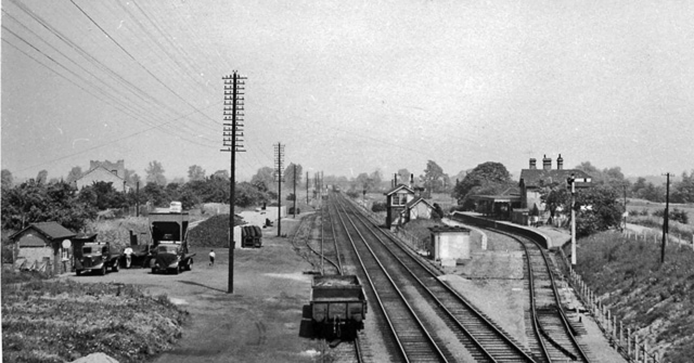
Fen Ditton Halt railway station
Fen Ditton Halt railway station served the village of Fen Ditton, Cambridgeshire, England from 1922 to 1962 on the Cambridge to Mildenhall railway. �...

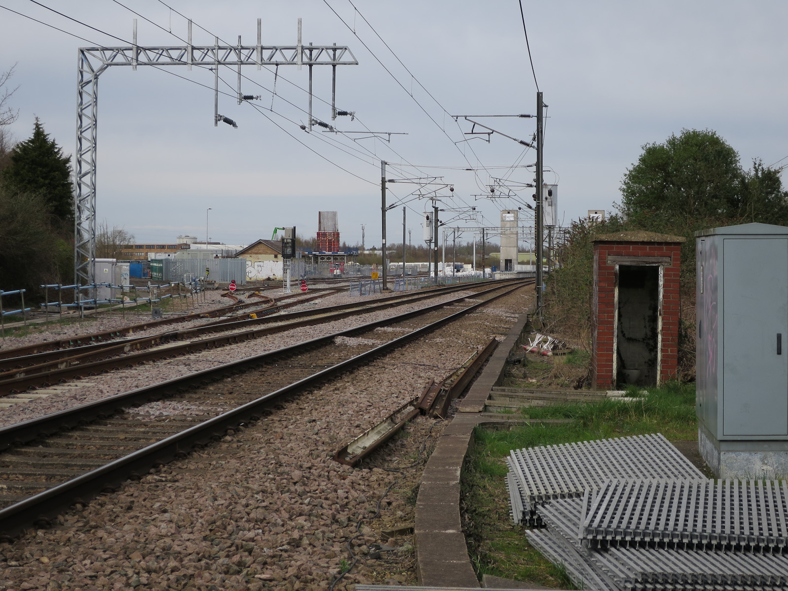
Cambridge North railway station
Cambridge North railway station is a railway station located in the Cambridge suburb of Chesterton, close to Cambridge Science Park. The station is on...
Chesterton railway station
Chesterton railway station was located on the line between Cambridge and Histon. It opened in 1850 and closed the same year. == History == In 1846, the...
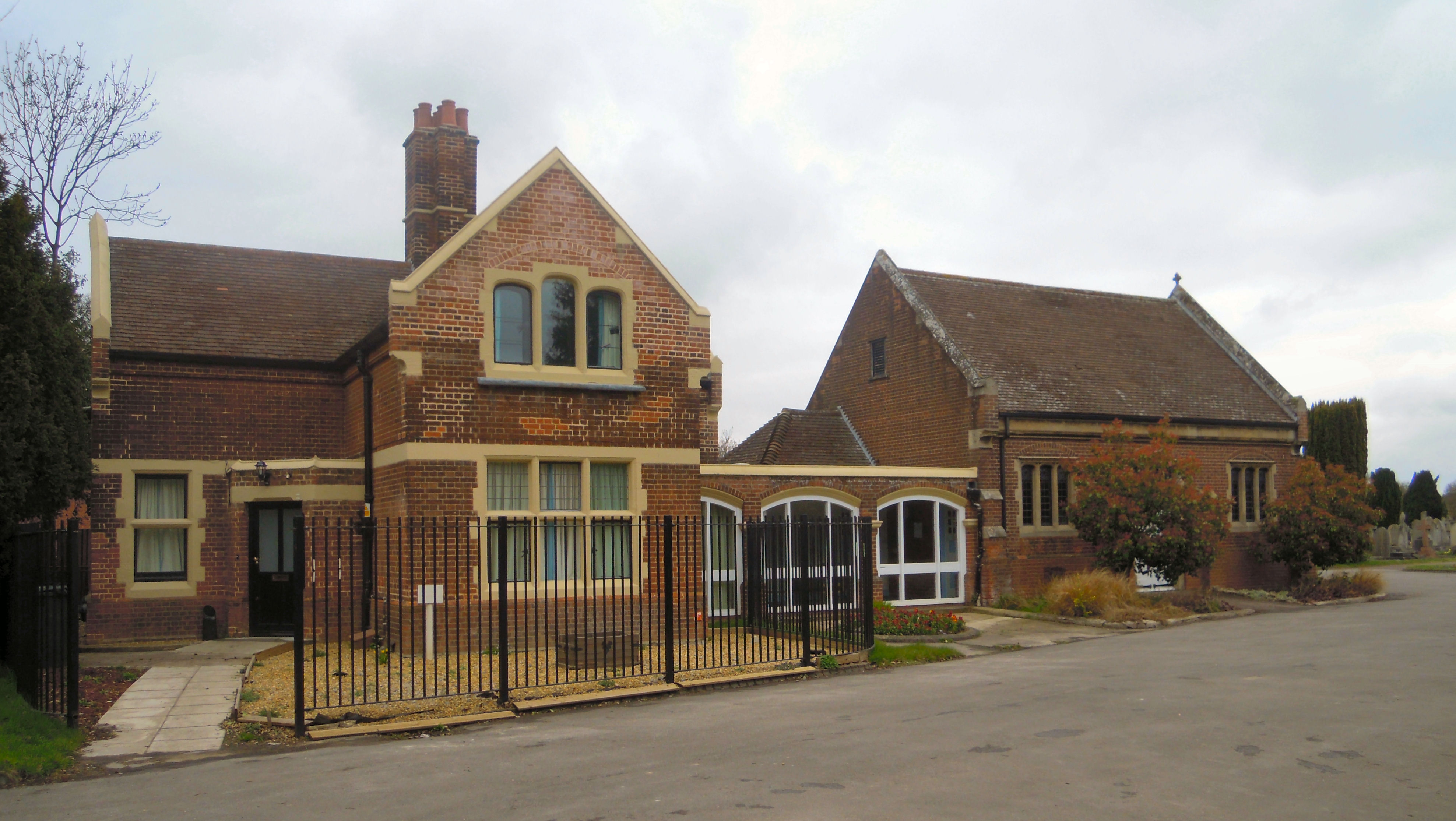
Cambridge City Cemetery
Cambridge City Cemetery is the main burial ground for the city of Cambridge in Cambridgeshire. It is to the north of the city, at the junction of Newmarket...

Bramblefields
Bramblefields is a 2.1 hectare Local Nature Reserve in Cambridge. It is owned and managed by Cambridge City Council.The site in the middle of a residential...
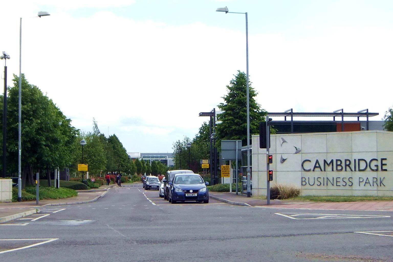
Cambridge Business Park
Cambridge Business Park is a large business complex in Cambridge, England, owned by the Crown Estate. It is home to many companies, mostly IT-related,...
Barnwell Junction railway station
Barnwell Junction railway station served the suburb of Barnwell, Cambridgeshire, England from 1884 to 1966 on the Cambridge to Mildenhall railway. ��2...
Nearby Amenities
Located within 500m of 52.22114,0.169813Have you been to Fen Ditton?
Leave your review of Fen Ditton below (or comments, questions and feedback).