Four Acre Covert

Wood, Forest in Norfolk King's Lynn and West Norfolk

England

Four Acre Covert

Ryston railway station (site), Norfolk Opened in 1882 by the Downham and Stoke Ferry Railway, later part of the Great Eastern Railway, on the branch line between those places, this station closed to passengers in 1930 and completely in 1964.
View east towards Abbey and the end of the line at Stoke Ferry. The single platform can still be seen to the left of the former station house. The level crossing gates shown in <a href="https://www.geograph.org.uk/photo/570582">TL6199 : Ryston Station, West Norfolk</a> were still there in 2021, 57 years after they were probably last used.
Ryston railway station (site), Norfolk Credit: Nigel Thompson

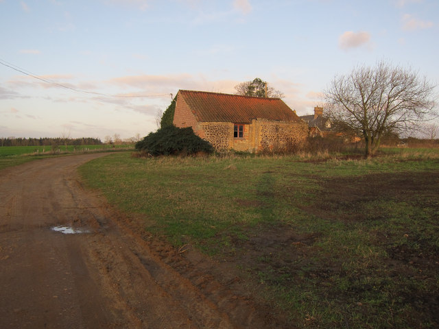
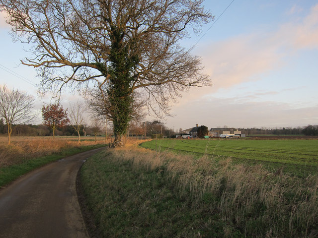
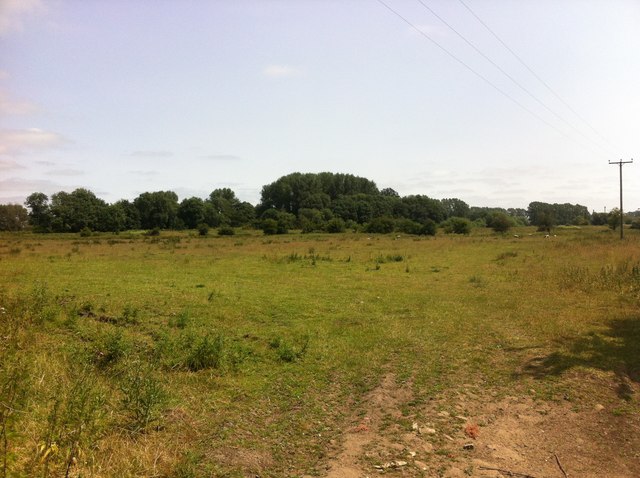
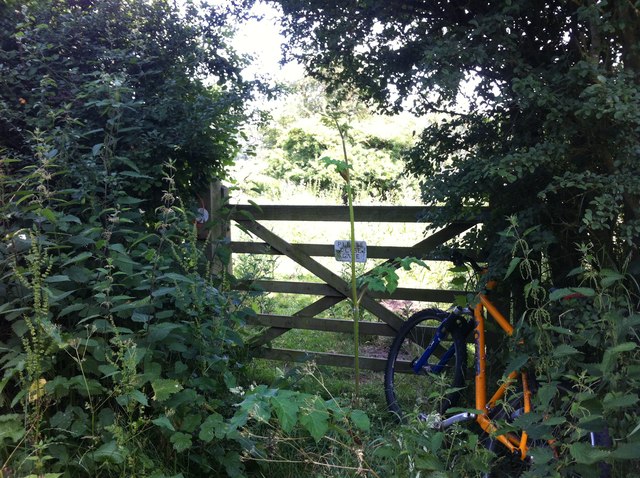
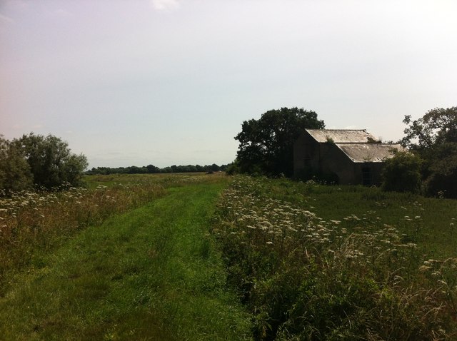
Four Acre Covert is a charming woodland located in Norfolk, England. Spanning an area of approximately four acres, this forest is a haven for nature enthusiasts and outdoor adventurers alike. The covert is nestled amidst the picturesque Norfolk countryside, offering a serene and tranquil escape from the hustle and bustle of everyday life.

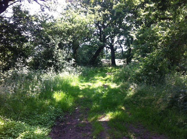
Characterized by its dense canopy of trees, Four Acre Covert boasts a diverse range of woodland species, including oak, beech, and ash. The forest floor is adorned with a rich carpet of moss and wildflowers, which adds to the enchanting ambiance of the area. The tall trees provide shelter and food for an array of wildlife, such as squirrels, deer, and a variety of woodland birds.

Visitors to Four Acre Covert can explore the forest through a network of well-maintained footpaths, which wind their way through the trees, offering glimpses of the natural beauty that abounds. The paths are suitable for all ages and abilities, making it an ideal destination for families and nature lovers of all kinds.

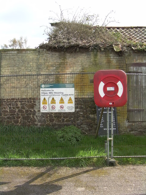
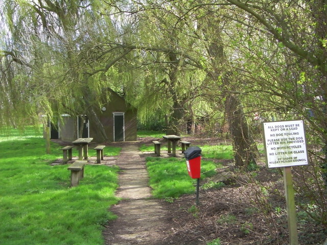
In addition to its natural beauty, Four Acre Covert also offers opportunities for recreational activities such as picnicking, birdwatching, and photography. The peaceful surroundings make it an ideal spot for relaxation and contemplation.

Overall, Four Acre Covert is a hidden gem in the heart of Norfolk, offering visitors a chance to reconnect with nature and immerse themselves in the beauty of the British countryside. Whether for a leisurely stroll or a quiet retreat, this woodland sanctuary is a must-visit destination for those seeking solace in nature.

If you have any feedback on the listing, please let us know in the comments section below.

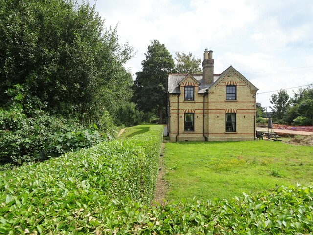
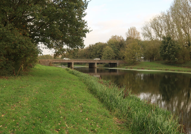
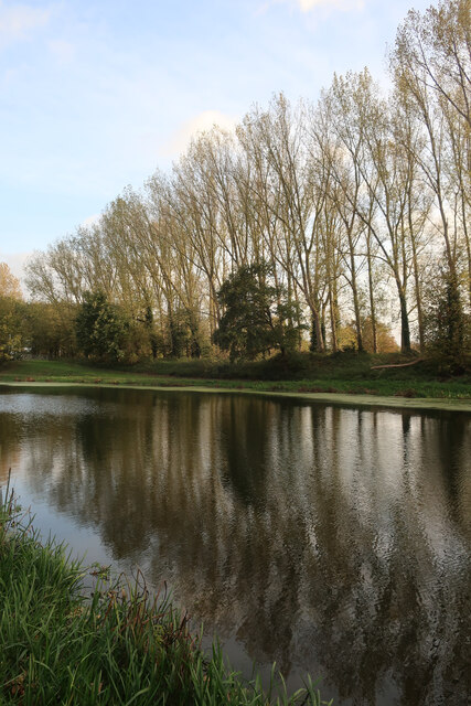
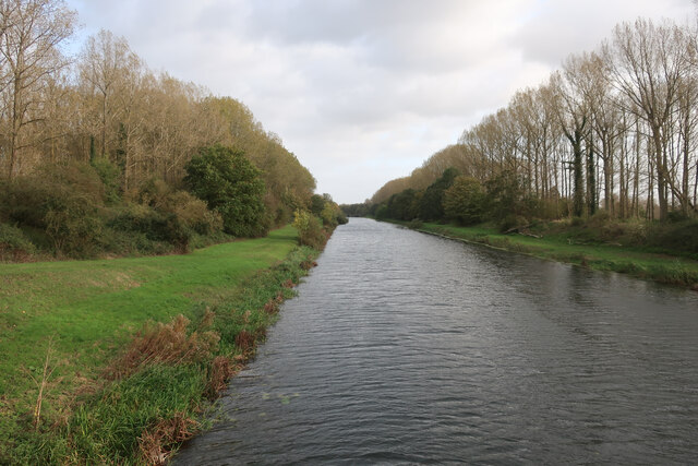
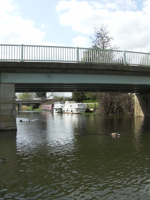
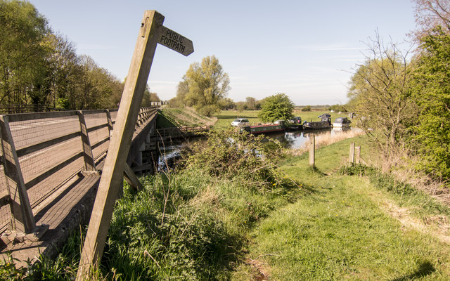
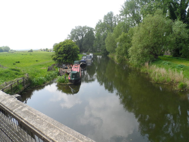
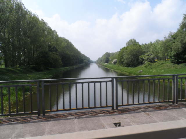
Four Acre Covert Images

Images are sourced within 2km of 52.566569/0.41145592 or Grid Reference TL6399. Thanks to Geograph Open Source API. All images are credited.

Ryston railway station (site), Norfolk Opened in 1882 by the Downham and Stoke Ferry Railway, later part of the Great Eastern Railway, on the branch line between those places, this station closed to passengers in 1930 and completely in 1964.
View east towards Abbey and the end of the line at Stoke Ferry. The single platform can still be seen to the left of the former station house. The level crossing gates shown in <a href="https://www.geograph.org.uk/photo/570582">TL6199 : Ryston Station, West Norfolk</a> were still there in 2021, 57 years after they were probably last used.
Ryston railway station (site), Norfolk
Opened in 1882 by the Downham and Stoke Ferry Railway, later part of the Great Eastern Railway, on the branch line between those places, this station closed to passengers in 1930 and completely in 1964. View east towards Abbey and the end of the line at Stoke Ferry. The single platform can still be seen to the left of the former station house. The level crossing gates shown in TL6199 : Ryston Station, West Norfolk were still there in 2021, 57 years after they were probably last used.
A10 over Cut-off Channel The Cut-off Channel is a large man made channel that follows the eastern edge of the Fens.
A10 over Cut-off Channel
The Cut-off Channel is a large man made channel that follows the eastern edge of the Fens.
Poplars by the Cut-off Channel Poplars used to be a commercial timber crop, as well as a useful windbreak. They are no longer commercial so the number of plantations is falling and others not being harvested.
Poplars by the Cut-off Channel
Poplars used to be a commercial timber crop, as well as a useful windbreak. They are no longer commercial so the number of plantations is falling and others not being harvested.
Cut-off Channel near Fordham With permissive paths each side.
Cut-off Channel near Fordham
With permissive paths each side.
Roxham Farm outbuilding Turning round at a 'Farm vehicles only' sign.
Roxham Farm outbuilding
Turning round at a 'Farm vehicles only' sign.
Road to Crossways Farm Dead end road that doesn't quite reach the Cut-off Channel.
Road to Crossways Farm
Dead end road that doesn't quite reach the Cut-off Channel.
Welcome to Hilgay 48hr Mooring The Environment Agency signs warns the public No Fishing, No Diving and No Swimming.
Welcome to Hilgay 48hr Mooring
The Environment Agency signs warns the public No Fishing, No Diving and No Swimming.
Picnic site and public convenience
Two bridges In the foreground is Hilgay Bridge, in the background another bridge carries the A10 over the River Wissey.
Two bridges
In the foreground is Hilgay Bridge, in the background another bridge carries the A10 over the River Wissey.
A10 at River Wissey Start of riverside footpath.  Very dangerous to approach!
A10 at River Wissey
Start of riverside footpath. Very dangerous to approach!
Narrow boats on the River Wissey
Cut Off Channel near Hilgay
Old Milestone Old milestone on what was the A.10 at Hilgay, Norfolk. For close up view see <a title="https://www.geograph.org.uk/photo/3511213" href="https://www.geograph.org.uk/photo/3511213">Link</a>
Old Milestone
Old milestone on what was the A.10 at Hilgay, Norfolk. For close up view see Link
Old Milestone Old milestone on what was the A.10 at Hilgay, Norfolk. For overall view see <a title="https://www.geograph.org.uk/photo/3511207" href="https://www.geograph.org.uk/photo/3511207">Link</a>
Old Milestone
Old milestone on what was the A.10 at Hilgay, Norfolk. For overall view see Link
Lost I'm sure I should be over there somewhere.
Lost
I'm sure I should be over there somewhere.
Thistle Hill Road A bridleway on Hilgay Fen.
Thistle Hill Road
A bridleway on Hilgay Fen.
Please Close Gate I rode past this overgrown gate twice before I finally spotted it. I wish I never had, as the bridleway behind it eventually disappears by the sugar factory.
Please Close Gate
I rode past this overgrown gate twice before I finally spotted it. I wish I never had, as the bridleway behind it eventually disappears by the sugar factory.
River Wissey Bridleway and farm buildings next to the river.
River Wissey
Bridleway and farm buildings next to the river.
Show me another place!

Four Acre Covert is located at Grid Ref: TL6399 (Lat: 52.566569, Lng: 0.41145592)

Administrative County: Norfolk

District: King's Lynn and West Norfolk

Police Authority: Norfolk

What 3 Words

///samplers.blurred.obviously. Near Southery, Norfolk

Nearby Locations

Four Acre Covert

Related Wikis

Hilgay Heronry

Hilgay Heronry is a 1.8-hectare (4.4-acre) biological Site of Special Scientific Interest south of Downham Market in Norfolk.This small wood has a nationally...

1974 Norfolk mid-air collision

The 1974 Norfolk mid-air collision happened on 9 August 1974 at Fordham Fen, Norfolk, England when a Royal Air Force McDonnell-Douglas F-4M Phantom FGR...

Hilgay

Hilgay is a village and civil parish in Norfolk, England, 4 miles (6.4 km) from Downham Market. It covers an area of 33.38 km2 (12.89 sq mi) and had a...

St Mary's Church, Fordham

St Mary's Church is located to the south of the village of Fordham, Norfolk, England. It is a redundant Anglican parish church in the care of the Friends...

Ryston railway station

Ryston railway station was a railway station serving Fordham, Norfolk. It was on a branch line from Denver. == History == The Downham and Stoke Ferry Railway...

Fordham, Norfolk

Fordham is a small village and civil parish in the English county of Norfolk. The village is located 2.2 miles (3.5 km) north of Downham Market and 39...

Ryston

Ryston is a small village and civil parish in the English county of Norfolk. It once had its own railway station. The villages name means 'Brushwood farm/settlement...
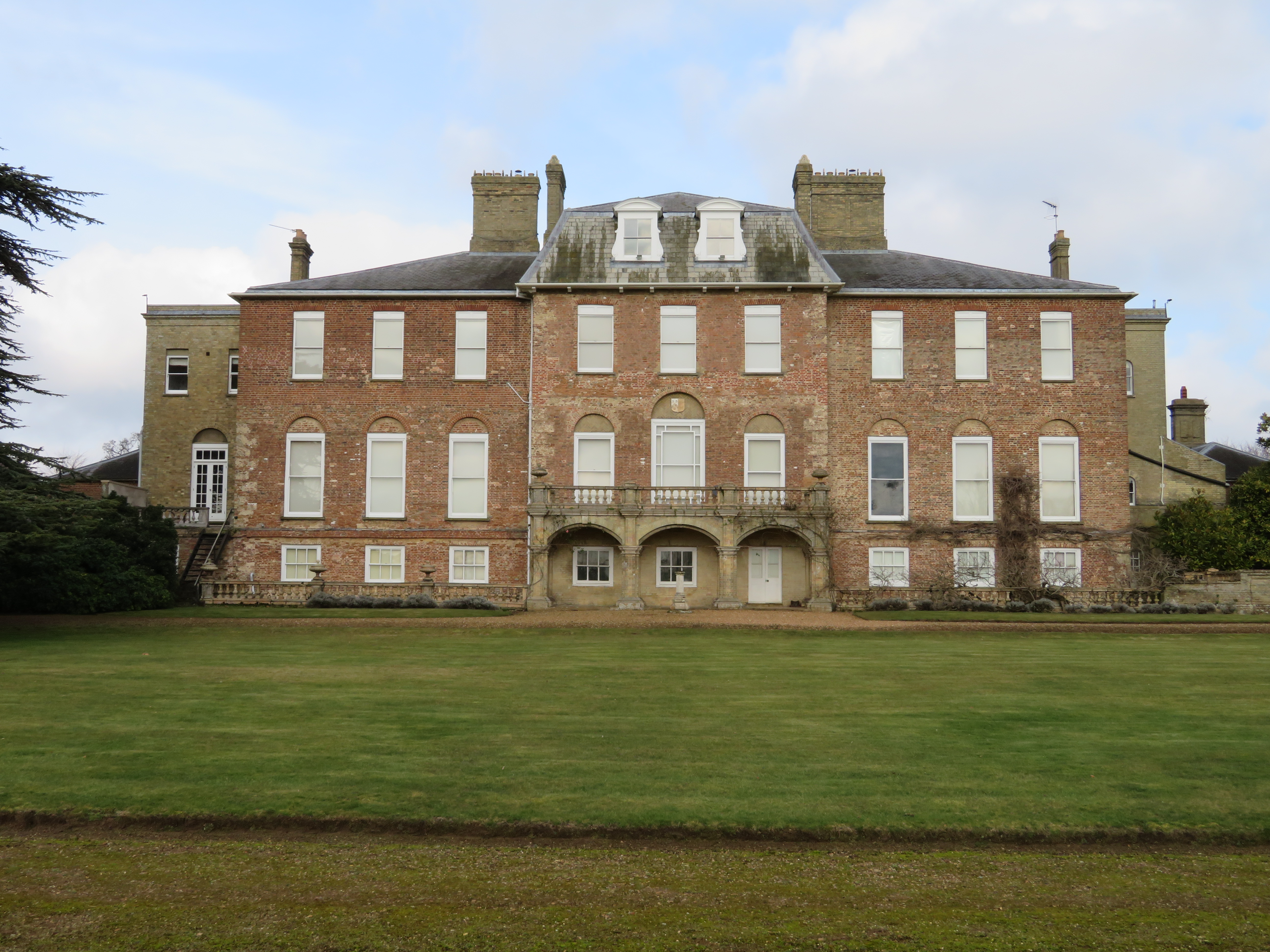
Ryston Hall

Ryston Hall, Ryston, Norfolk, England is a 17th-century country house built by Sir Roger Pratt for himself. The house was constructed between 1669 and...

Nearby Amenities

Located within 500m of 52.566569,0.41145592
Fixme: incomplete
Lat/Long: 52.568089/0.4154152
Fixme: incomplete
Lat/Long: 52.5668385/0.404681
The data included in this document is from www.openstreetmap.org. The data is made available under ODbL.

Have you been to Four Acre Covert?

Leave your review of Four Acre Covert below (or comments, questions and feedback).