Bullstrong Plantation
Wood, Forest in Norfolk King's Lynn and West Norfolk
England
Bullstrong Plantation
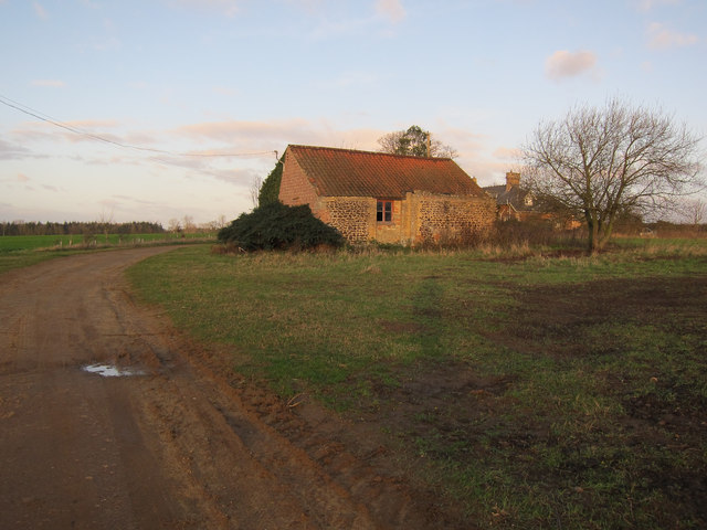
Bullstrong Plantation, located in Norfolk, is a vast and picturesque wood and forest area that spans across several acres of land. This expansive plantation is renowned for its diverse range of flora and fauna, making it an ideal destination for nature enthusiasts and those seeking a peaceful retreat.
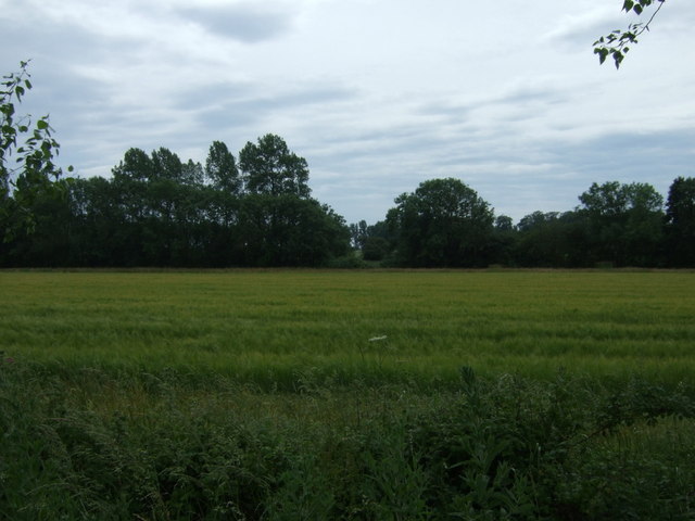
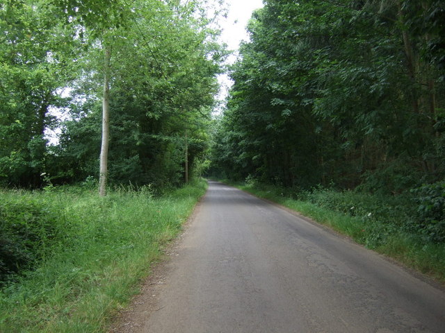
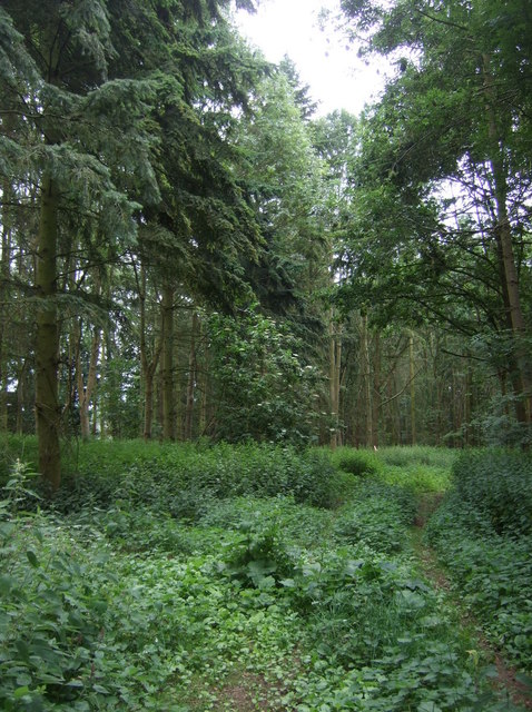
The plantation is characterized by its dense woodland, consisting of a variety of tree species such as oak, beech, and pine, which create a captivating canopy overhead. These towering trees offer shade and shelter to a wide array of wildlife that call this plantation home. Visitors often spot various bird species, including woodpeckers, owls, and finches, as well as small mammals like squirrels and rabbits.
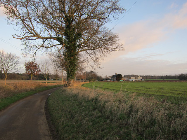
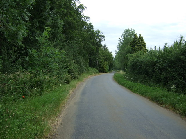
Nature trails wind through the plantation, providing visitors with the opportunity to explore its natural beauty on foot. These well-maintained paths offer breathtaking views of the surrounding landscape, with glimpses of tranquil ponds and meandering streams interspersed throughout the woodlands.
Bullstrong Plantation is also renowned for its conservation efforts and commitment to preserving the natural ecosystem. The plantation actively engages in sustainable practices, ensuring the long-term health and vitality of the forest. This dedication to environmental stewardship has resulted in the plantation being recognized as a designated wildlife sanctuary.
In addition to its natural wonders, Bullstrong Plantation offers various recreational activities. It features picnic areas, where visitors can relax and enjoy a meal amidst the serene surroundings. The plantation also hosts educational programs and guided tours, allowing visitors to learn about the importance of sustainable forestry and the local ecosystem.
Overall, Bullstrong Plantation in Norfolk is a captivating wood and forest area that offers a harmonious blend of natural beauty, wildlife conservation, and recreational opportunities.
If you have any feedback on the listing, please let us know in the comments section below.
Bullstrong Plantation Images
Images are sourced within 2km of 52.584932/0.41138639 or Grid Reference TF6301. Thanks to Geograph Open Source API. All images are credited.


Bullstrong Plantation is located at Grid Ref: TF6301 (Lat: 52.584932, Lng: 0.41138639)
Administrative County: Norfolk
District: King's Lynn and West Norfolk
Police Authority: Norfolk
What 3 Words
///iron.denim.prancing. Near Downham Market, Norfolk
Nearby Locations
Related Wikis

Ryston
Ryston is a small village and civil parish in the English county of Norfolk. It once had its own railway station. The villages name means 'Brushwood farm/settlement...
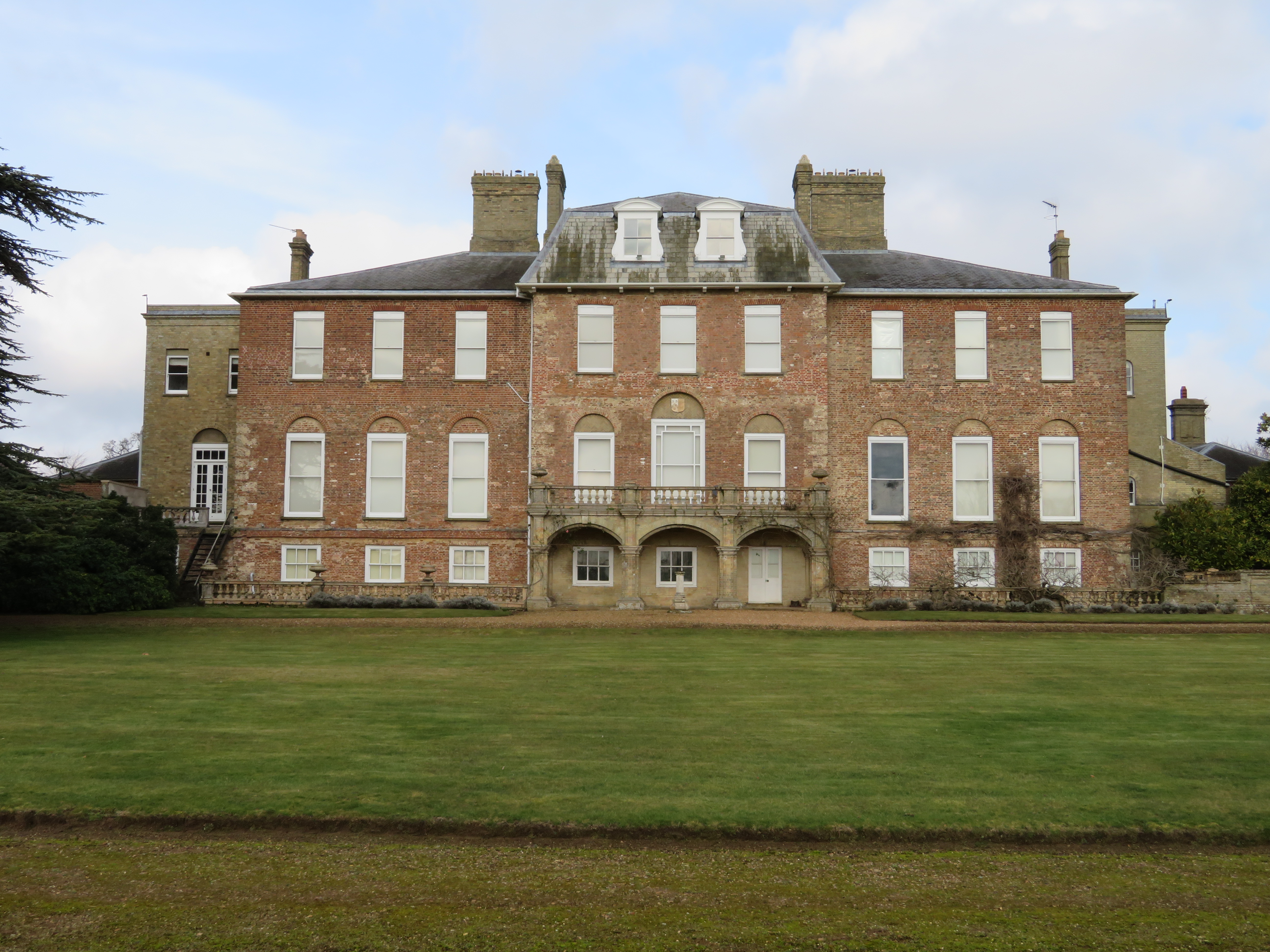
Ryston Hall
Ryston Hall, Ryston, Norfolk, England is a 17th-century country house built by Sir Roger Pratt for himself. The house was constructed between 1669 and...

Bexwell
Bexwell is a small village and former civil parish near Downham Market, now in the parish of Ryston, in the King's Lynn and West Norfolk district, in the...

Downham Rural District
Downham Rural District was a rural district in Norfolk, England from 1894 to 1974.It was formed under the Local Government Act 1894 based on the Downham...

Hilgay Heronry
Hilgay Heronry is a 1.8-hectare (4.4-acre) biological Site of Special Scientific Interest south of Downham Market in Norfolk.This small wood has a nationally...

1974 Norfolk mid-air collision
The 1974 Norfolk mid-air collision happened on 9 August 1974 at Fordham Fen, Norfolk, England when a Royal Air Force McDonnell-Douglas F-4M Phantom FGR...

Denver, Norfolk
Denver is a village and civil parish in the English county of Norfolk. The village is situated on the River Great Ouse, approximately 1 mile (1.6 km) south...
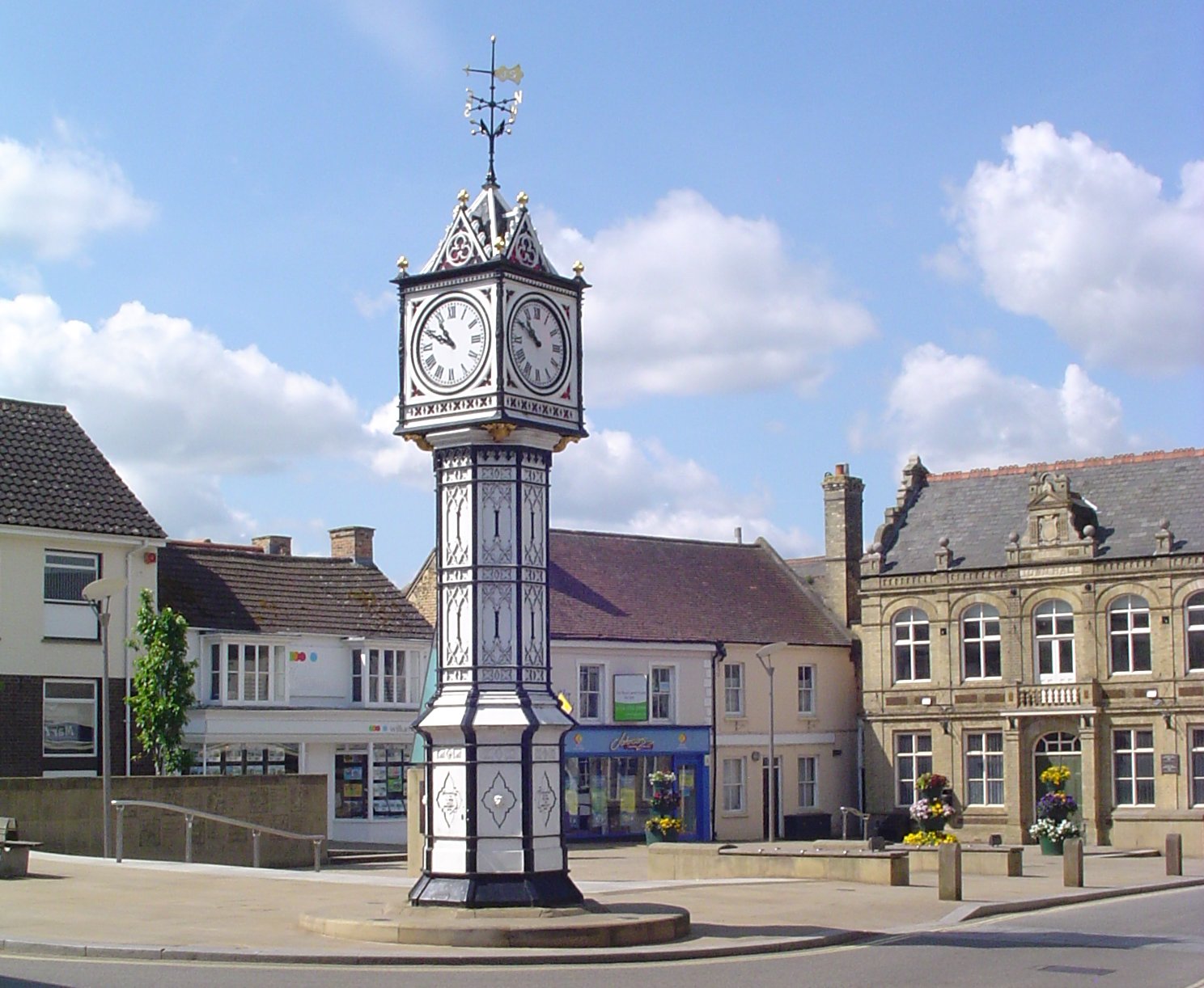
Downham Market
Downham Market, sometimes simply referred to as Downham, is a market town and civil parish in Norfolk, England. It lies on the edge of the Fens, on the...
Nearby Amenities
Located within 500m of 52.584932,0.41138639Have you been to Bullstrong Plantation?
Leave your review of Bullstrong Plantation below (or comments, questions and feedback).