Crossways Covert
Wood, Forest in Norfolk King's Lynn and West Norfolk
England
Crossways Covert
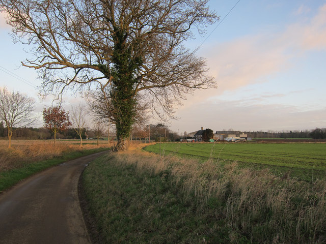
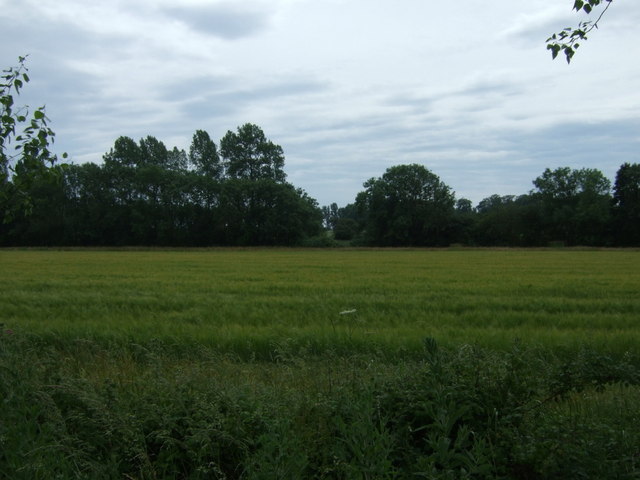
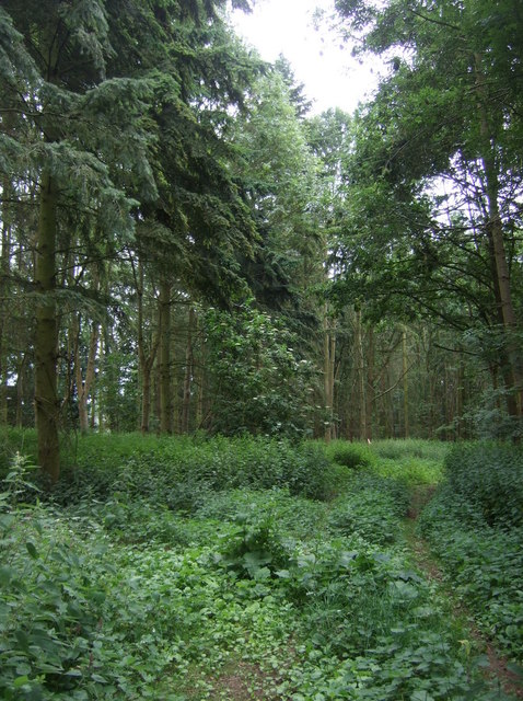
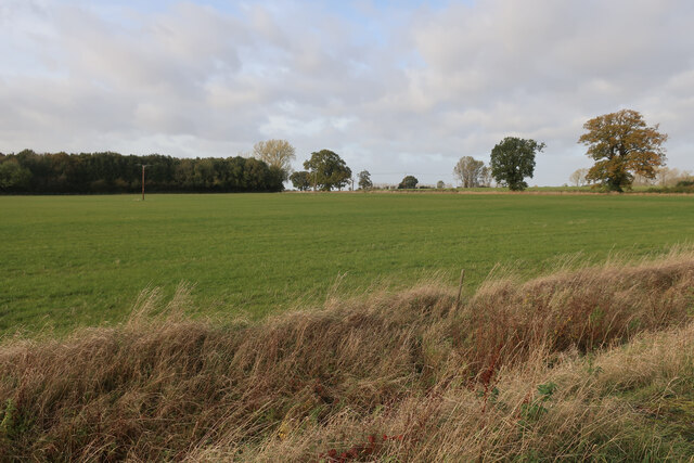
Crossways Covert is a woodland area located in Norfolk, England. Covering an area of approximately 50 acres, it is situated near the village of Wood, within the larger region known as Norfolk Forest. The covert is known for its diverse range of trees, including oak, beech, and pine, creating a picturesque and serene environment.
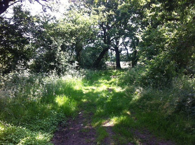
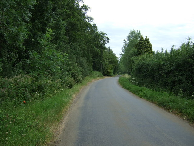
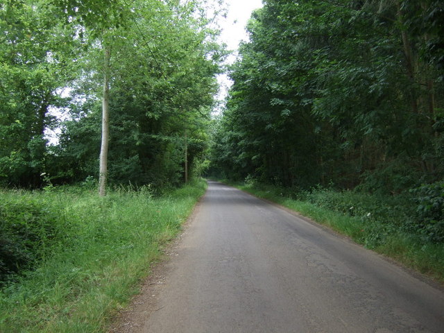
The woodland is privately owned and managed, with access limited to designated footpaths and trails. These paths wind through the covert, allowing visitors to explore and appreciate the natural beauty of the area. The dense canopy overhead provides a sheltered habitat for a variety of wildlife, making it a popular spot for birdwatching and nature enthusiasts.
Crossways Covert offers a peaceful retreat for those seeking solitude or a chance to connect with nature. The tranquil atmosphere is enhanced by the absence of any major roads or urban developments nearby. The woodland is particularly beautiful in the spring when wildflowers bloom and birdsong fills the air.
Visitors are advised to wear appropriate footwear and be mindful of the uneven terrain. Dogs are welcome but must be kept on a leash to protect the local wildlife. The covert is open year-round, although some areas may be temporarily closed for maintenance or restoration. Entrance is free, but donations towards the upkeep of the woodland are gratefully accepted.
Overall, Crossways Covert provides an idyllic escape from the hustle and bustle of everyday life, offering a chance to immerse oneself in the natural splendor of Norfolk's woodlands.
If you have any feedback on the listing, please let us know in the comments section below.
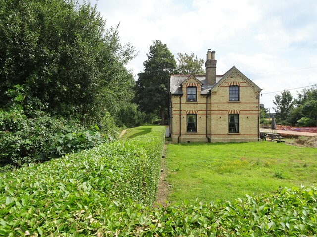
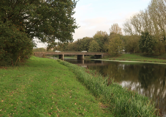
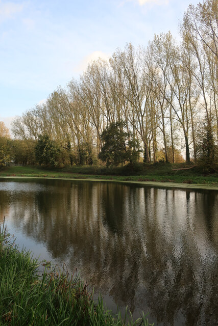
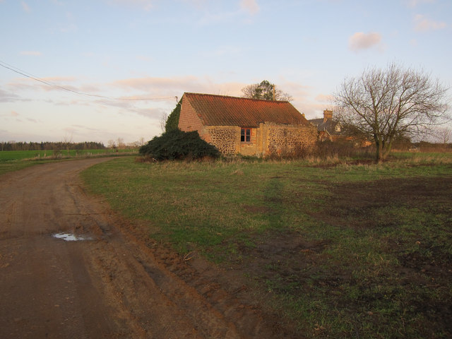
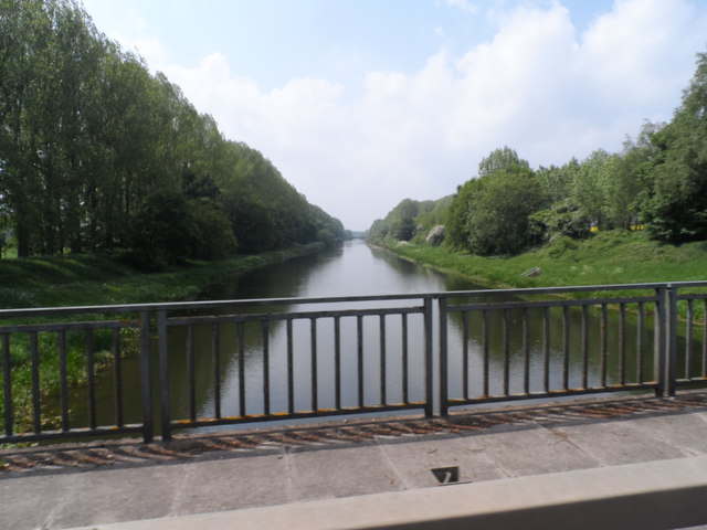
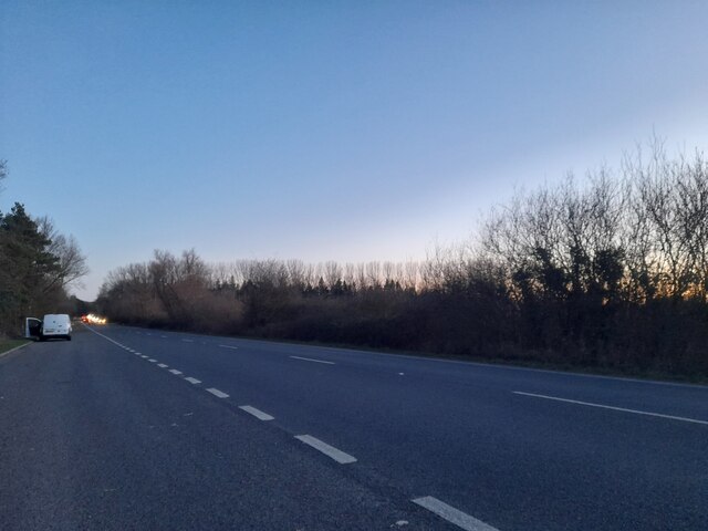
Crossways Covert Images
Images are sourced within 2km of 52.576371/0.41050322 or Grid Reference TF6300. Thanks to Geograph Open Source API. All images are credited.


Crossways Covert is located at Grid Ref: TF6300 (Lat: 52.576371, Lng: 0.41050322)
Administrative County: Norfolk
District: King's Lynn and West Norfolk
Police Authority: Norfolk
What 3 Words
///rinses.shortcuts.snap. Near Downham Market, Norfolk
Nearby Locations
Related Wikis

Ryston
Ryston is a small village and civil parish in the English county of Norfolk. It once had its own railway station. The villages name means 'Brushwood farm/settlement...

Hilgay Heronry
Hilgay Heronry is a 1.8-hectare (4.4-acre) biological Site of Special Scientific Interest south of Downham Market in Norfolk.This small wood has a nationally...
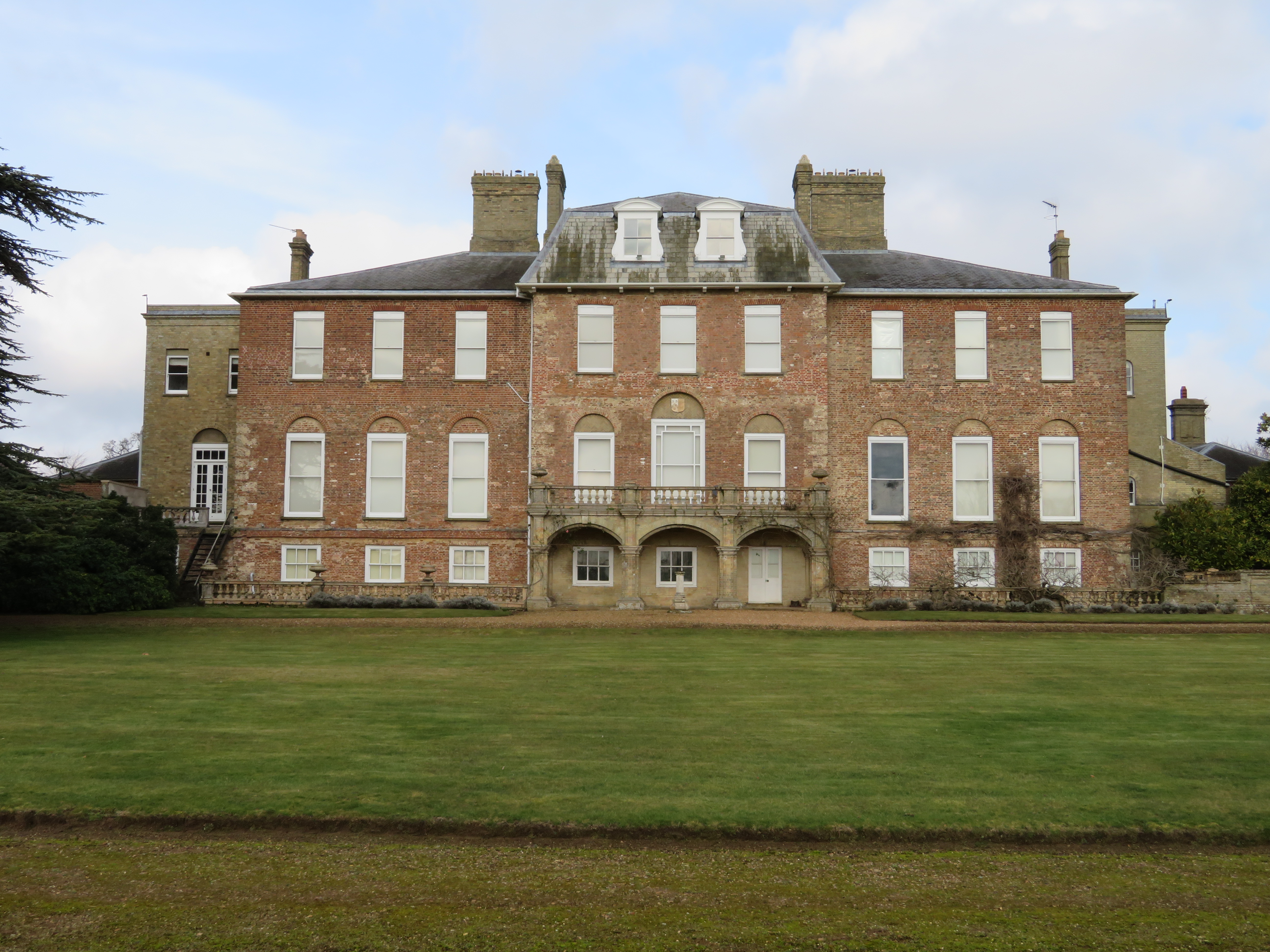
Ryston Hall
Ryston Hall, Ryston, Norfolk, England is a 17th-century country house built by Sir Roger Pratt for himself. The house was constructed between 1669 and...

1974 Norfolk mid-air collision
The 1974 Norfolk mid-air collision happened on 9 August 1974 at Fordham Fen, Norfolk, England when a Royal Air Force McDonnell-Douglas F-4M Phantom FGR...
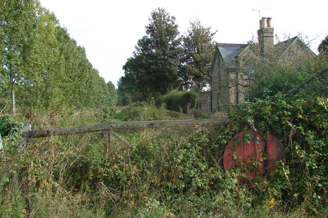
Ryston railway station
Ryston railway station was a railway station serving Fordham, Norfolk. It was on a branch line from Denver. == History == The Downham and Stoke Ferry Railway...

St Mary's Church, Fordham
St Mary's Church is located to the south of the village of Fordham, Norfolk, England. It is a redundant Anglican parish church in the care of the Friends...
Fordham, Norfolk
Fordham is a small village and civil parish in the English county of Norfolk. The village is located 2.2 miles (3.5 km) north of Downham Market and 39...

Downham Rural District
Downham Rural District was a rural district in Norfolk, England from 1894 to 1974.It was formed under the Local Government Act 1894 based on the Downham...
Nearby Amenities
Located within 500m of 52.576371,0.41050322Have you been to Crossways Covert?
Leave your review of Crossways Covert below (or comments, questions and feedback).