Carlows Wood
Wood, Forest in Kent Gravesham
England
Carlows Wood
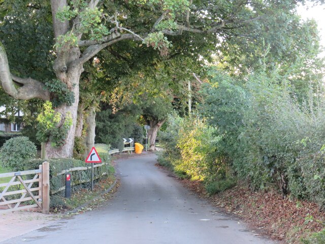
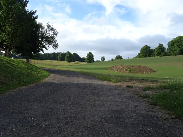
Carlows Wood is a beautiful woodland located in the county of Kent, England. It spans an area of approximately 100 acres and is situated near the village of Carlows.
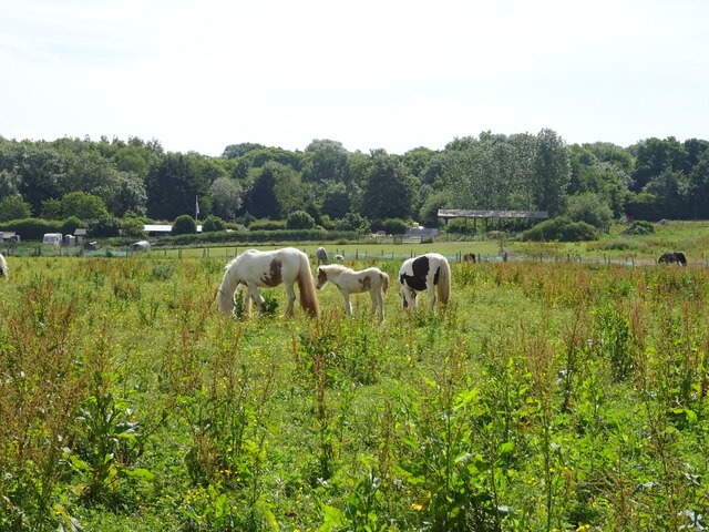
The wood is predominantly composed of broadleaf trees, including oak, beech, and ash, which create a dense and lush canopy. These trees provide a habitat for a diverse range of flora and fauna, making Carlows Wood a haven for wildlife enthusiasts and nature lovers. The forest floor is covered in a thick carpet of bluebells during the spring season, creating a stunning visual spectacle.
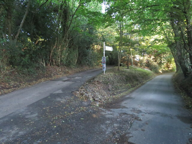
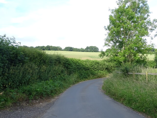
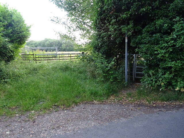
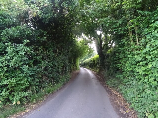
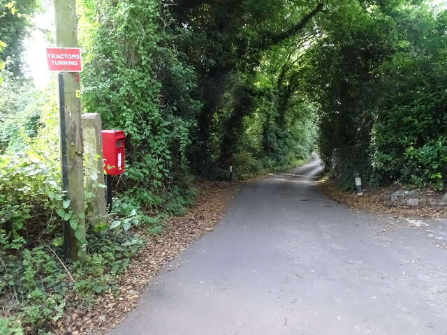
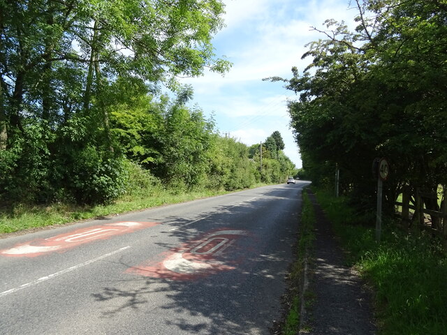
The wood is crisscrossed by a network of well-maintained footpaths and trails, making it easily accessible to visitors. These paths meander through the trees, leading to various points of interest within the wood, such as a picturesque pond and a small clearing perfect for picnics.
The tranquility and peacefulness of Carlows Wood make it an ideal place for a leisurely walk or a quiet escape from the hustle and bustle of everyday life. Birdsong fills the air, and visitors may catch a glimpse of deer, foxes, and rabbits as they explore the wood.
Carlows Wood is managed by the local council, which ensures its preservation and protection for future generations. The wood is open to the public throughout the year, and there are no entrance fees or restrictions on visiting hours.
Overall, Carlows Wood is a captivating natural gem in the heart of Kent, offering a serene and enchanting experience for anyone seeking solace in nature.
If you have any feedback on the listing, please let us know in the comments section below.
Carlows Wood Images
Images are sourced within 2km of 51.346676/0.3428625 or Grid Reference TQ6363. Thanks to Geograph Open Source API. All images are credited.


Carlows Wood is located at Grid Ref: TQ6363 (Lat: 51.346676, Lng: 0.3428625)
Administrative County: Kent
District: Gravesham
Police Authority: Kent
What 3 Words
///expert.claims.crust. Near Culverstone Green, Kent
Nearby Locations
Related Wikis
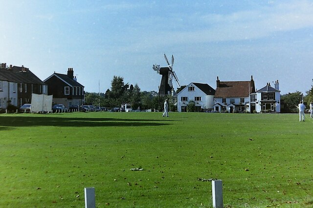
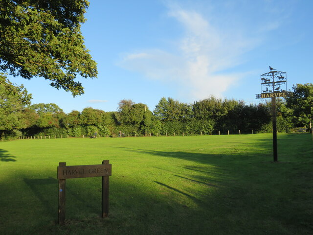
Harvel
Harvel is a village in the civil parish of Meopham in the west of the county of Kent, England. It is sited on the southern edge of the North Downs. The...

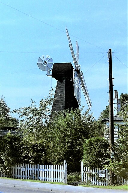
Killick's Mill, Meopham
Killick's Mill is a Grade II* listed smock mill in Meopham, Kent, England that was built in 1801 and which has been restored. == History == Killick's...

Meopham air disaster
The Meopham Air Disaster occurred on 21 July 1930 when a Junkers F.13ge flying from Le Touquet to Croydon with two crew and four passengers crashed near...

Ridley, Kent
Ridley is a place and former civil parish, now in the parish of Ash-cum-Ridley, in the Sevenoaks district, in the county of Kent, England. It lies between...

Vigo Village
Vigo Village is a village and (as simply Vigo) a civil parish in the Gravesham district in Kent, England. It takes its name from a 15th-century public...

Meopham
Meopham is a large linear village and civil parish in the Borough of Gravesham in north-west Kent, England, lying to the south of Gravesend. The parish...

Trosley Country Park
Trosley Country Park is in Trottiscliffe, near Vigo, in Kent, England. Once part of a large woodland estate then after many changes, it was passed to Kent...

Meopham School
Meopham School is a Coeducational secondary school with approximately 950 students, located in Meopham, Kent, England, UK. The school is non-selective...
Nearby Amenities
Located within 500m of 51.346676,0.3428625Have you been to Carlows Wood?
Leave your review of Carlows Wood below (or comments, questions and feedback).