Fir Covert
Wood, Forest in Norfolk King's Lynn and West Norfolk
England
Fir Covert
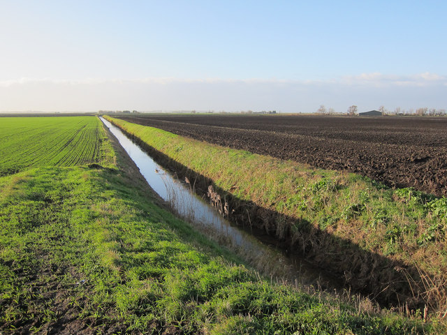
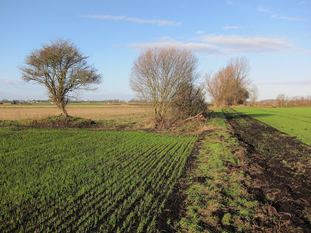
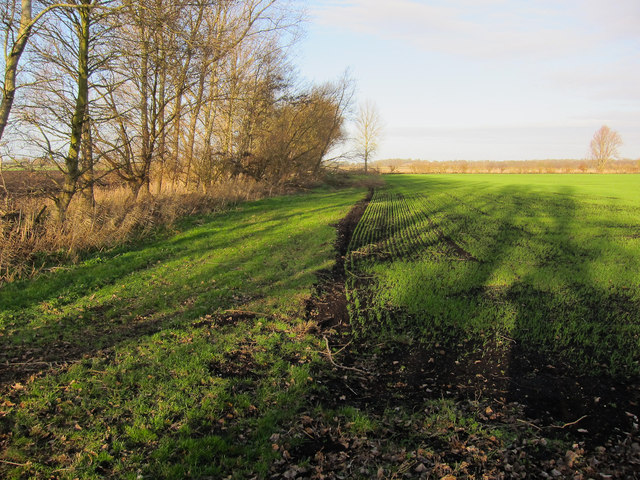
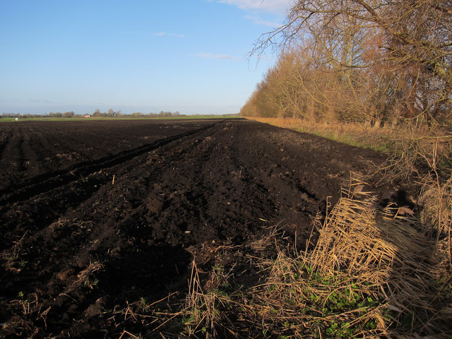
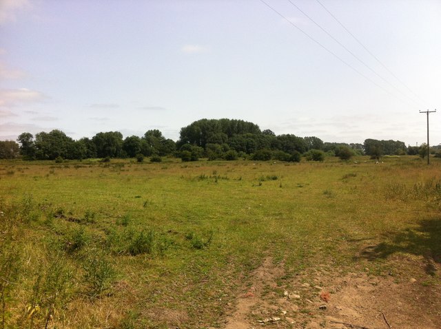
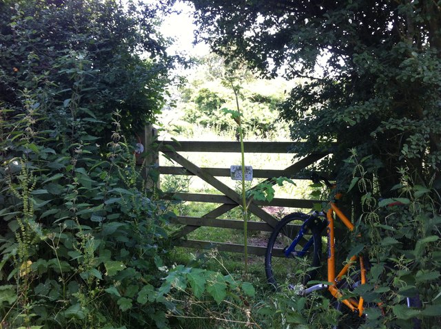
Fir Covert is a picturesque woodland located in the county of Norfolk, England. Situated in the heart of the Norfolk Broads, this enchanting forest is a haven for nature enthusiasts and outdoor lovers alike. Covering an area of approximately 100 acres, Fir Covert is characterized by its dense population of fir trees, which give the woodland its name.
The forest boasts a diverse range of wildlife, making it a popular destination for birdwatching and animal spotting. Visitors can expect to encounter a variety of species, including owls, woodpeckers, deer, and squirrels. The tranquil atmosphere, combined with the soothing sounds of nature, creates a serene ambiance that is perfect for relaxation and contemplation.
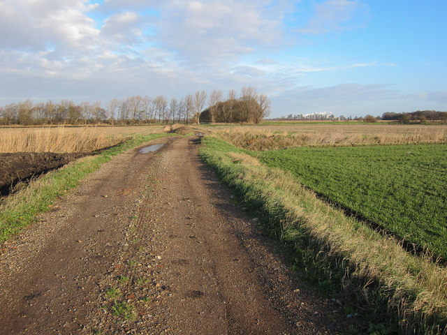
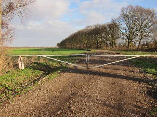
Fir Covert offers a network of well-maintained walking trails, allowing visitors to explore the woodland at their own pace. The paths wind through the forest, leading to hidden clearings and secluded spots where one can sit and immerse themselves in the natural surroundings. Additionally, there are several picnic areas and benches scattered throughout the woodland, providing the perfect opportunity for a leisurely lunch or a moment of quiet reflection.
The forest is open to the public throughout the year, offering a different experience in each season. From the vibrant green foliage of spring and summer to the golden hues of autumn and the mystical atmosphere of winter, Fir Covert never fails to captivate its visitors.
In conclusion, Fir Covert is a mesmerizing woodland in Norfolk, offering a peaceful retreat from the hustle and bustle of everyday life. With its breathtaking beauty and abundant wildlife, it is a must-visit destination for nature enthusiasts and those seeking a tranquil escape.
If you have any feedback on the listing, please let us know in the comments section below.
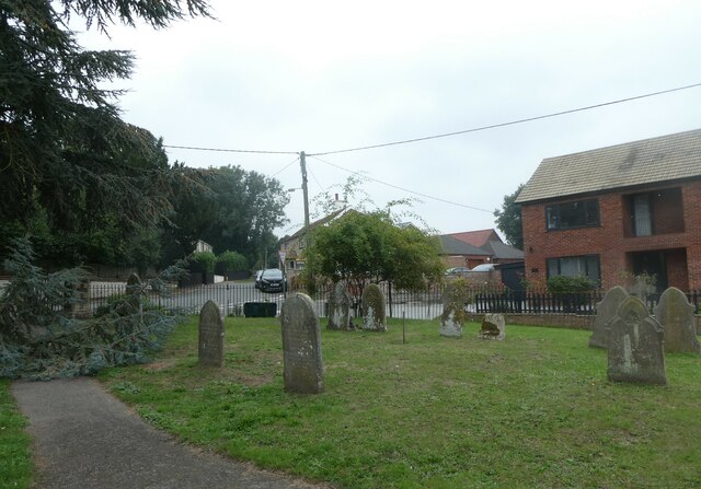
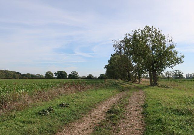
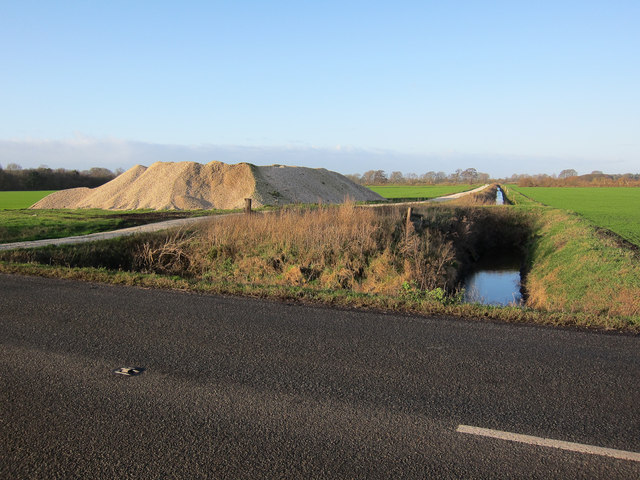
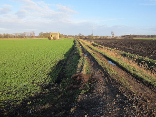
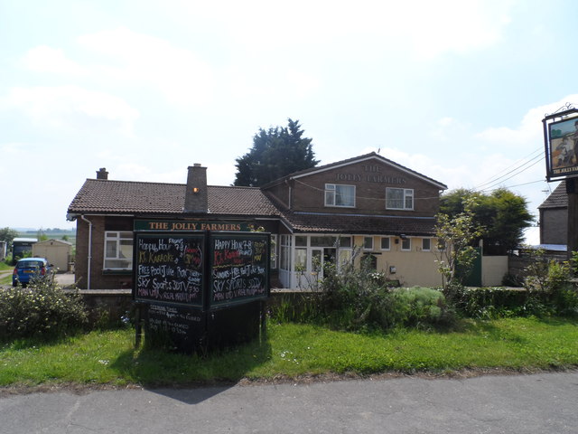
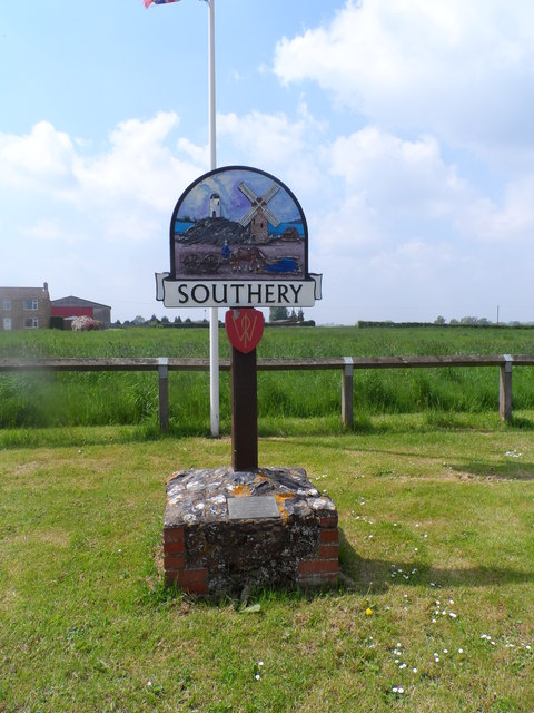
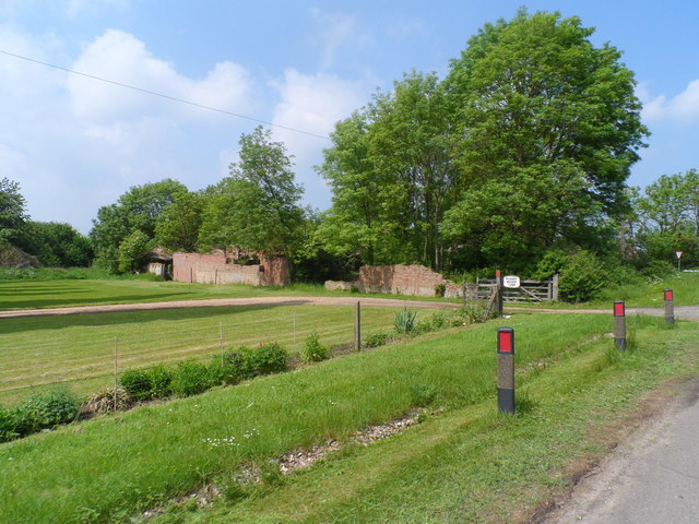
Fir Covert Images
Images are sourced within 2km of 52.540195/0.40576253 or Grid Reference TL6396. Thanks to Geograph Open Source API. All images are credited.

Fir Covert is located at Grid Ref: TL6396 (Lat: 52.540195, Lng: 0.40576253)
Administrative County: Norfolk
District: King's Lynn and West Norfolk
Police Authority: Norfolk
What 3 Words
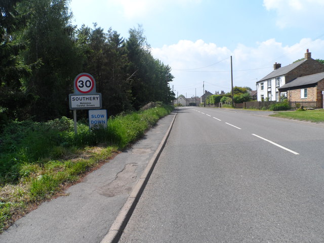
///whirlpool.closed.stubbed. Near Southery, Norfolk
Nearby Locations
Related Wikis

Southery
Southery is a village and civil parish in Norfolk, England, which covers an area of 18.12 km2 (7.00 sq mi) and had a population of 1,324 at the 2011 Census...

Hilgay
Hilgay is a village and civil parish in Norfolk, England, 4 miles (6.4 km) from Downham Market. It covers an area of 33.38 km2 (12.89 sq mi) and had a...

Modeney Priory
Modeney Priory—also spelled Modney and Modeny—was a Benedictine priory in the civil parish of Hilgay, Norfolk, England. Located less than a mile east of...

Hilgay Heronry
Hilgay Heronry is a 1.8-hectare (4.4-acre) biological Site of Special Scientific Interest south of Downham Market in Norfolk.This small wood has a nationally...

1974 Norfolk mid-air collision
The 1974 Norfolk mid-air collision happened on 9 August 1974 at Fordham Fen, Norfolk, England when a Royal Air Force McDonnell-Douglas F-4M Phantom FGR...
Wissington, Norfolk
Wissington in Norfolk is the site of British Sugar's largest sugar factory in the UK; it is also the largest in Europe. There has been a sugar factory...

St Mary's Church, Fordham
St Mary's Church is located to the south of the village of Fordham, Norfolk, England. It is a redundant Anglican parish church in the care of the Friends...
Fordham, Norfolk
Fordham is a small village and civil parish in the English county of Norfolk. The village is located 2.2 miles (3.5 km) north of Downham Market and 39...
Nearby Amenities
Located within 500m of 52.540195,0.40576253Have you been to Fir Covert?
Leave your review of Fir Covert below (or comments, questions and feedback).