Church Wood
Wood, Forest in Norfolk King's Lynn and West Norfolk
England
Church Wood
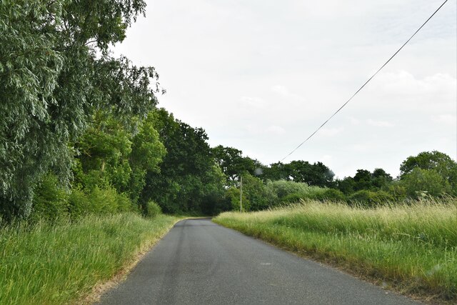
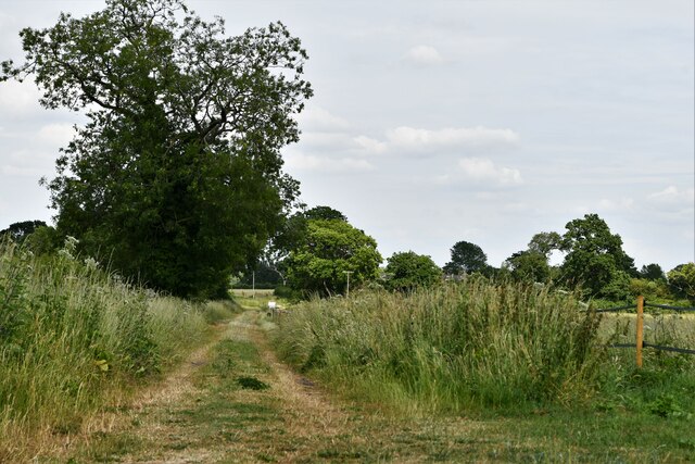
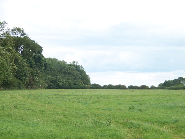
Church Wood is a picturesque woodland located in the county of Norfolk, England. Situated near the small village of Church, the wood covers an area of approximately 100 acres, offering visitors an enchanting escape into nature. The wood is a mixture of ancient and more recent plantings, resulting in a diverse range of tree species, including oak, beech, and birch.
The woodland is renowned for its stunning natural beauty, with a carpet of bluebells covering the forest floor during springtime, creating a breathtaking sight for visitors. The wood is also home to a rich variety of wildlife, making it a popular spot for nature enthusiasts and birdwatchers. Visitors may spot a variety of bird species, such as great tits, woodpeckers, and tawny owls, as well as small mammals like squirrels and hedgehogs.
A network of well-maintained trails and footpaths meander through the wood, allowing visitors to explore its wonders at their own pace. These paths are accessible to all, making Church Wood an ideal destination for families and individuals of all ages and abilities.
The wood is managed by the local community, who work diligently to preserve its natural beauty and protect its inhabitants. Regular maintenance and conservation efforts ensure that Church Wood remains a haven for flora and fauna alike.
In conclusion, Church Wood in Norfolk is a delightful woodland retreat, offering visitors a chance to immerse themselves in the wonders of nature. With its diverse tree species, carpet of bluebells, and abundant wildlife, it is a destination that never fails to captivate and inspire its visitors.
If you have any feedback on the listing, please let us know in the comments section below.
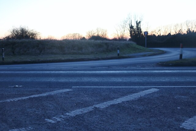
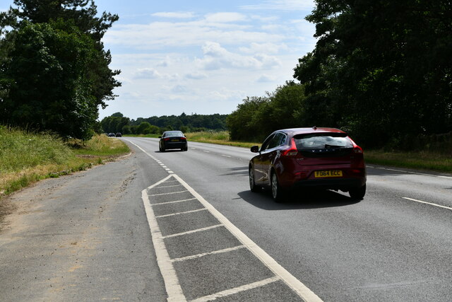
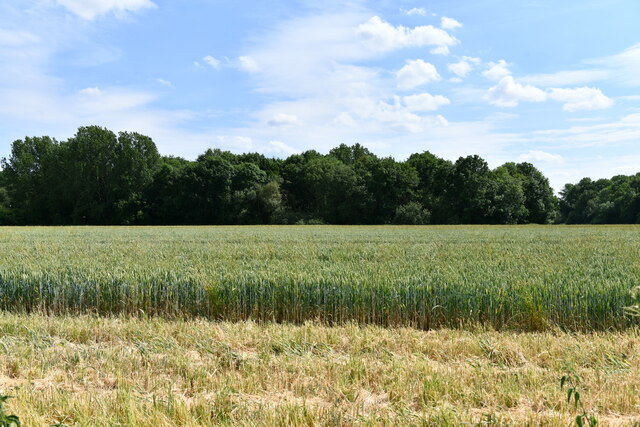
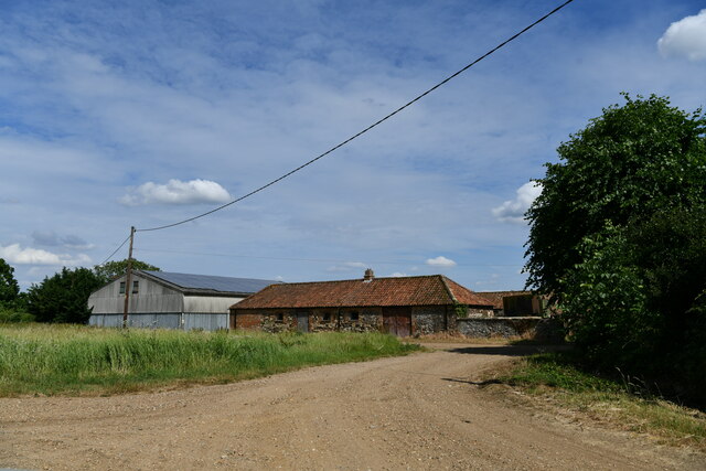
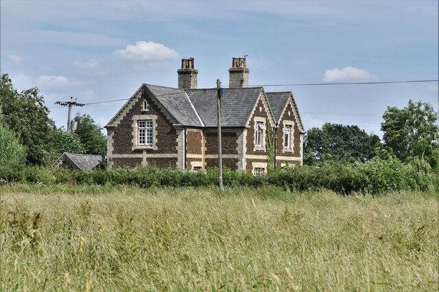
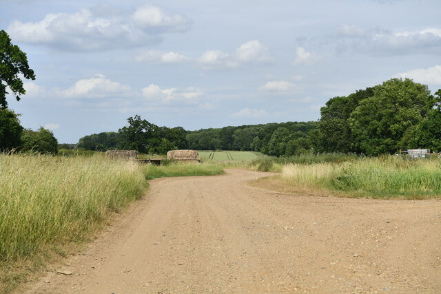
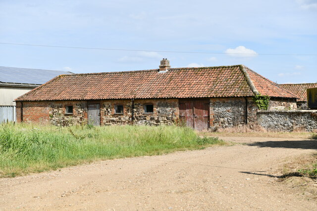
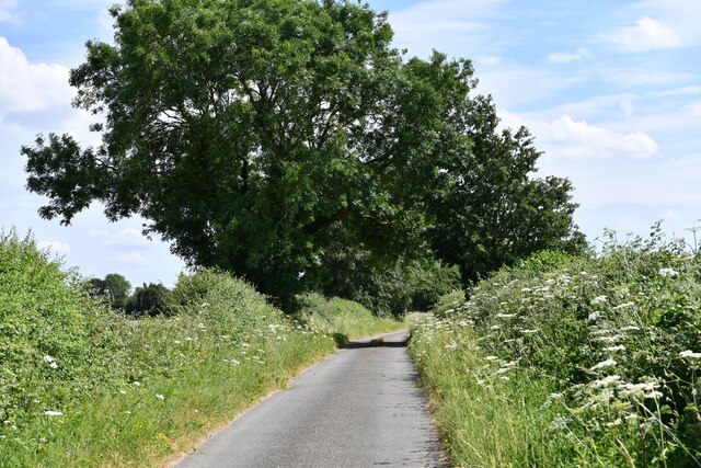
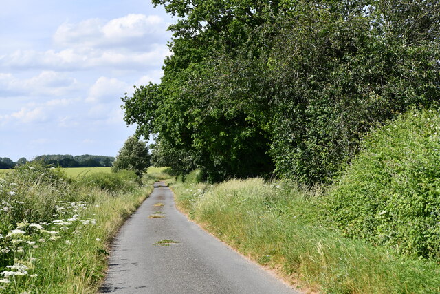
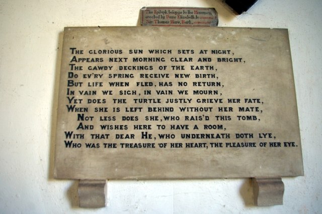
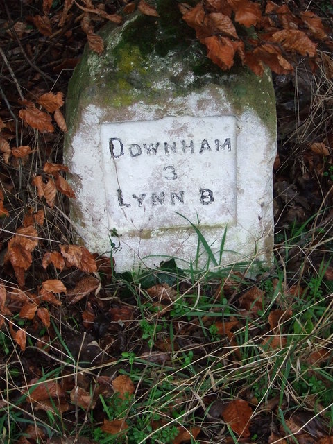
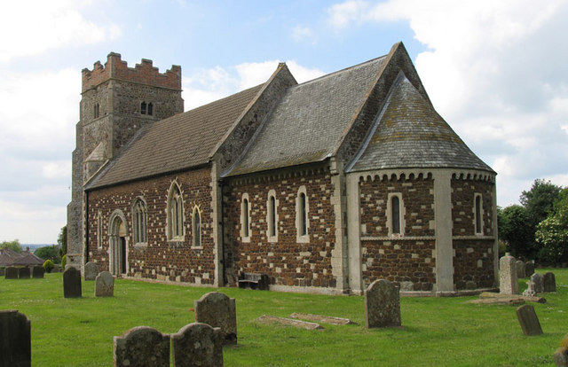
Church Wood Images
Images are sourced within 2km of 52.623056/0.40881295 or Grid Reference TF6305. Thanks to Geograph Open Source API. All images are credited.


Church Wood is located at Grid Ref: TF6305 (Lat: 52.623056, Lng: 0.40881295)
Administrative County: Norfolk
District: King's Lynn and West Norfolk
Police Authority: Norfolk
What 3 Words
///cheese.glossed.grower. Near Downham Market, Norfolk
Nearby Locations
Related Wikis

Stow Bardolph
Stow Bardolph, sometimes simply referred to as Stow, is an estate and civil parish in the English county of Norfolk, lying between King's Lynn and Downham...
Wimbotsham
Wimbotsham is a village and civil parish in the English county of Norfolk. It is situated close to the River Great Ouse, 2 km (1.2 mi) north of the town...

RAF Downham Market
Royal Air Force Downham Market, or more simply RAF Downham Market, was a Royal Air Force station in the west of the county of Norfolk, England which operated...
Downham Town F.C.
Downham Town Football Club is a football club based in Downham Market, Norfolk, England. Affiliated to the Norfolk County Football Association, they are...
Downham Market Academy
Downham Market Academy (formerly Downham Market High School) is a coeducational secondary school and sixth form with academy status, situated in Downham...

Crimplesham
Crimplesham is a village and civil parish in the English county of Norfolk. It is situated 2.5 miles (4.0 km) east of the small town of Downham Market...

Bexwell
Bexwell is a small village and former civil parish near Downham Market, now in the parish of Ryston, in the King's Lynn and West Norfolk district, in the...
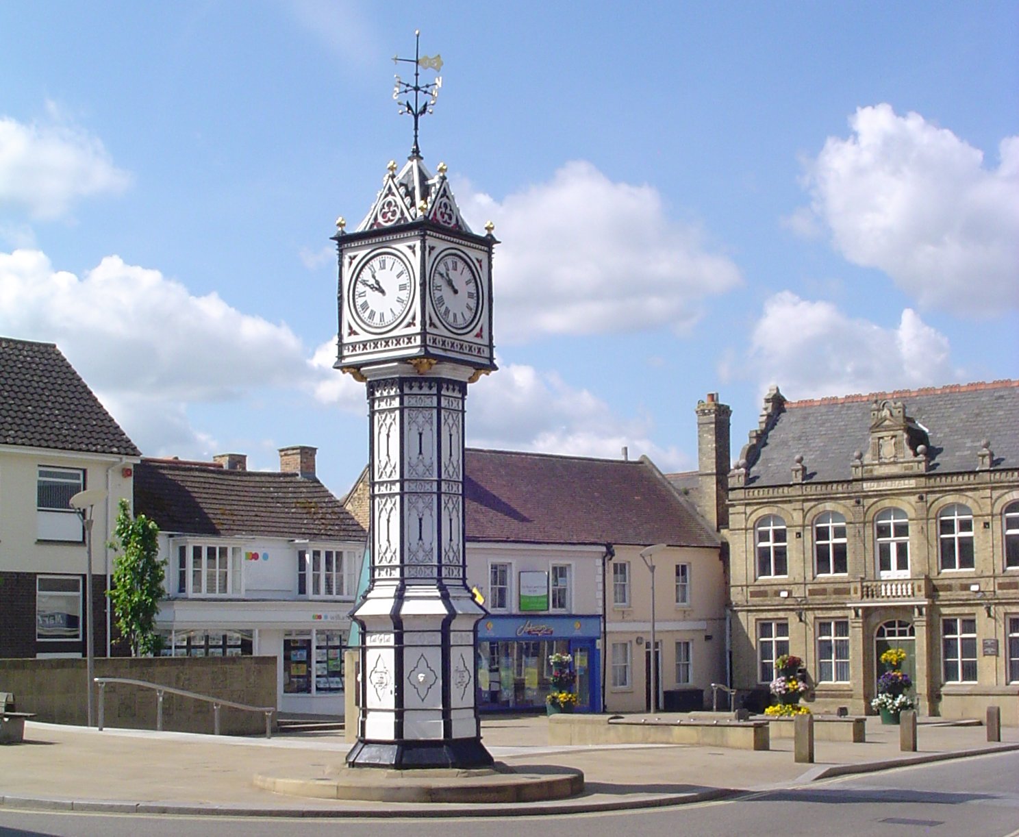
Downham Market
Downham Market, sometimes simply referred to as Downham, is a market town and civil parish in Norfolk, England. It lies on the edge of the Fens, on the...
Nearby Amenities
Located within 500m of 52.623056,0.40881295Have you been to Church Wood?
Leave your review of Church Wood below (or comments, questions and feedback).