Chalk End Spring

Wood, Forest in Essex Chelmsford

England

Chalk End Spring

St Andrew's Church, Good Easter, Essex
St Andrew's Church, Good Easter, Essex Credit: Colin Park

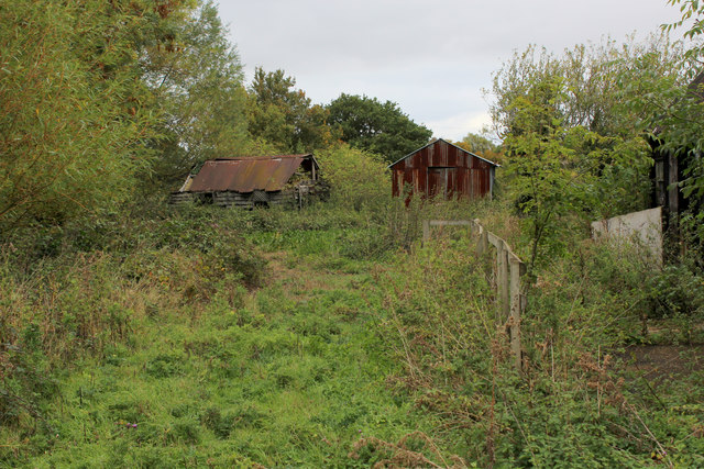
Chalk End Spring is a picturesque woodland area located in Essex, England. It is nestled within the larger Chalk End Forest, which covers a vast expanse of rolling hills and ancient trees. The spring itself is a small, natural water source that emerges from the ground, creating a serene and tranquil atmosphere.

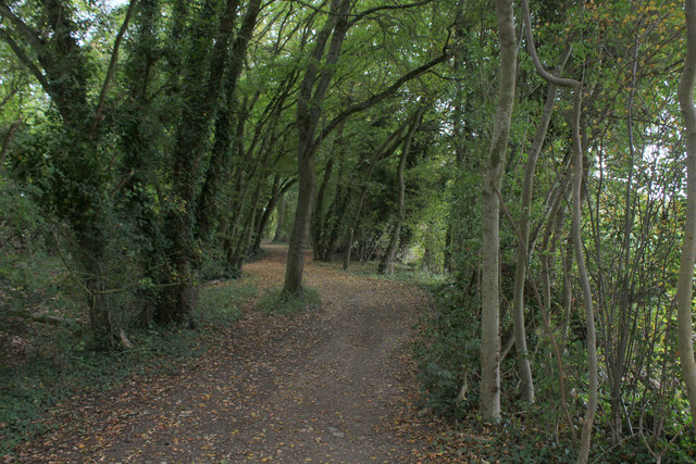
The woodland surrounding Chalk End Spring is rich in biodiversity, with a wide variety of flora and fauna calling it home. The forest is predominantly made up of dense deciduous trees, including oak, beech, and birch, which provide a beautiful canopy of vibrant green foliage during the summer months. In the spring, the forest floor becomes a carpet of bluebells, creating a stunning display of color.

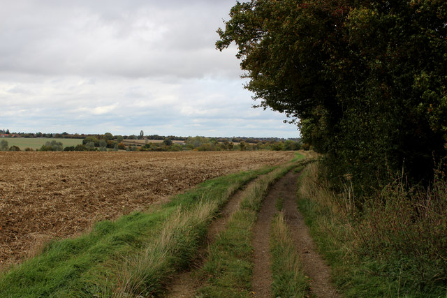
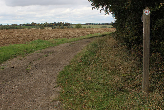
The area is a popular destination for nature lovers and outdoor enthusiasts. There are several walking trails that wind their way through the woodland, allowing visitors to explore the beauty of the area at their own pace. Birdwatchers will also find plenty to see, as the forest is home to many species of birds, including woodpeckers, owls, and songbirds.

Chalk End Spring offers a peaceful retreat from the hustle and bustle of daily life, providing a place of tranquility and natural beauty. Whether it's a leisurely stroll through the forest, a picnic by the spring, or simply enjoying the sights and sounds of nature, this woodland area is a true gem in Essex.

If you have any feedback on the listing, please let us know in the comments section below.

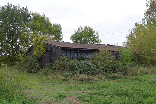
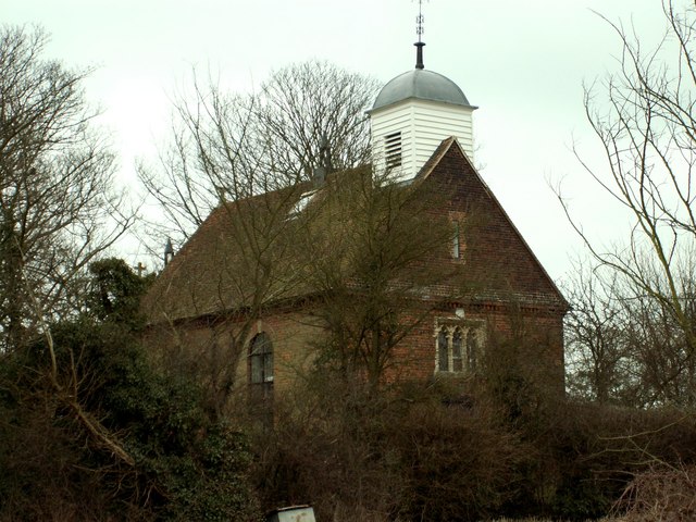
Chalk End Spring Images

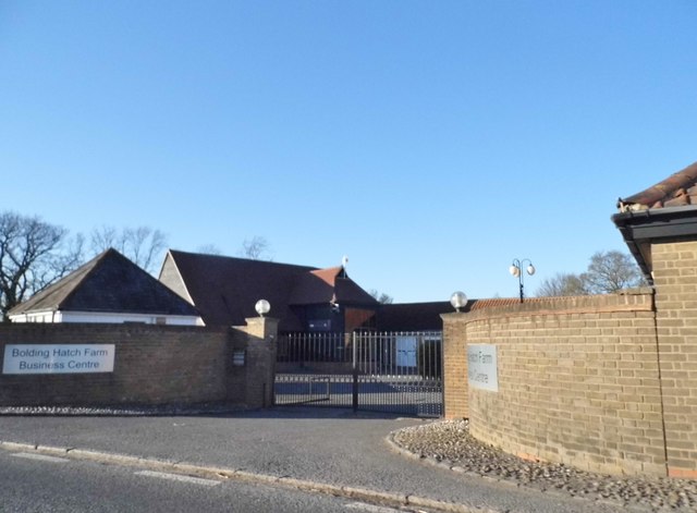
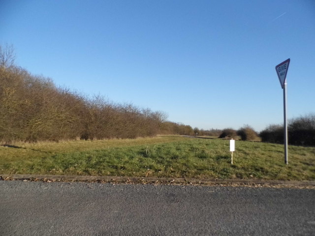
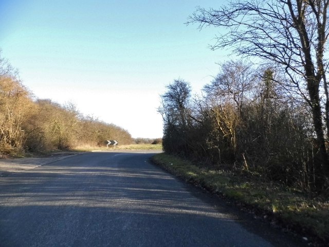
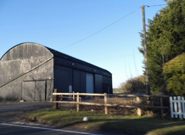
Images are sourced within 2km of 51.766442/0.3610019 or Grid Reference TL6310. Thanks to Geograph Open Source API. All images are credited.

St Andrew's Church, Good Easter, Essex
Bolding Hatch Farm Business Centre Clearly an ex farm
Bolding Hatch Farm Business Centre
Clearly an ex farm
Chalk End looking towards the A1060
Chalk End
Chalk End
Barn at Blue House Farm, Four Wantz
Church in Good Easter village on the Essex Way
Dilapidated Outbuildings at Pincher's Farm, Pepper's Green
Essex Way in Hardy's Plantation The long distance footpath just to the south of Pepper's Green
Essex Way in Hardy's Plantation
The long distance footpath just to the south of Pepper's Green
Essex Way heading North East to Farmbridge End One of the first county long distance footpath devised, tracing its history back to 1971.
It was also the first to make an appearance within the county borders of Essex.
The 81 mile trail starts outside the underground station in Epping, passing through Chipping Ongar, Pleshey, White Notley, Coggeshall, Great Horkesley, Dedham and Manningtree to the High Lighthouse in Harwich.  It runs through the entire county in a rough south west to north east line.
Essex Way heading North East to Farmbridge End
One of the first county long distance footpath devised, tracing its history back to 1971. It was also the first to make an appearance within the county borders of Essex. The 81 mile trail starts outside the underground station in Epping, passing through Chipping Ongar, Pleshey, White Notley, Coggeshall, Great Horkesley, Dedham and Manningtree to the High Lighthouse in Harwich. It runs through the entire county in a rough south west to north east line.
Essex Way at Salt's Green The long distance footpath heading north east away from the A1060
Essex Way at Salt's Green
The long distance footpath heading north east away from the A1060
Essex Way heading North to Good Easter (1) The long distance crosses a large featureless field on a gradual ascent
Essex Way heading North to Good Easter (1)
The long distance crosses a large featureless field on a gradual ascent
Essex Way heading North to Good Easter (2) Crossing a large empty field towards Good Easter - the church spire seen pushing up between trees
Essex Way heading North to Good Easter (2)
Crossing a large empty field towards Good Easter - the church spire seen pushing up between trees
Country Scene at Farmhouse End
St. Andrew's Church, Good Easter Built in 1200, renovated in 1885 with many features from the 13th and 14th Century.
The tall thin wooden spire and belfry are external points of interest.
St. Andrew's Church, Good Easter
Built in 1200, renovated in 1885 with many features from the 13th and 14th Century. The tall thin wooden spire and belfry are external points of interest.
Old building, Pinchers Farm, Pepper's Green
The A1060 entering the 'City' of Chelmsford City because it has a cathedral. Guglielmo Marconi, known as the inventor of radio, based himself in the town from the start of the 1900s.
The A1060 entering the 'City' of Chelmsford
City because it has a cathedral. Guglielmo Marconi, known as the inventor of radio, based himself in the town from the start of the 1900s.
The Essex Way crossing Farm Bridge at Farmbridge End Crossing the River Can
The Essex Way crossing Farm Bridge at Farmbridge End
Crossing the River Can
Open to All Traffic Near Roots Spring A "Green Laner" out for a bank holiday blast along the byway.
Open to All Traffic Near Roots Spring
A "Green Laner" out for a bank holiday blast along the byway.
Show me another place!

Chalk End Spring is located at Grid Ref: TL6310 (Lat: 51.766442, Lng: 0.3610019)

Administrative County: Essex

District: Chelmsford

Police Authority: Essex

What 3 Words

///cello.rift.remodel. Near Writtle, Essex

Related Wikis

Nearby Amenities

Located within 500m of 51.766442,0.3610019
Bus Stop
Farmbridge End Road
Bus: yes
Naptan AtcoCode: 1500DGK136
Naptan Bearing: SE
Naptan CommonName: Chalk End
Naptan Indicator: SE-bound
Naptan Landmark: Chalk End
Naptan NaptanCode: esxgmpam
Naptan Street: Bishops Stortford Road
Naptan Verified: no
Public Transport: platform
Source: naptan_import
Lat/Long: 51.7691782/0.3619612
Bus Stop
Farmbridge End Road
Bus: yes
Naptan AtcoCode: 1500DGK137
Naptan Bearing: W
Naptan CommonName: Chalk End
Naptan Indicator: W-bound
Naptan Landmark: Chalk End
Naptan NaptanCode: esxgmpap
Naptan Street: Bishops Stortford Road
Naptan Verified: no
Public Transport: platform
Source: naptan_import
Lat/Long: 51.7694629/0.360773
Chalk End
Place: hamlet
Wikidata: Q5068792
Lat/Long: 51.7693474/0.3626956
Colour: red and white
Marker: aerial
Utility: gas
Lat/Long: 51.7684536/0.3633968
Colour: red and white
Marker: aerial
Utility: gas
Lat/Long: 51.7682856/0.3623077
Colour: red and white
Marker: aerial
Utility: gas
Lat/Long: 51.7682536/0.3630668
The data included in this document is from www.openstreetmap.org. The data is made available under ODbL.

Have you been to Chalk End Spring?

Leave your review of Chalk End Spring below (or comments, questions and feedback).