Bankyfield Shaw
Wood, Forest in Sussex Wealden
England
Bankyfield Shaw
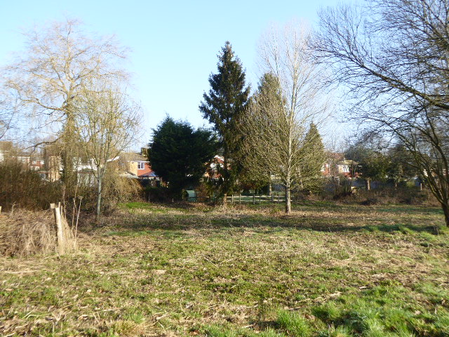
Bankyfield Shaw is a picturesque woodland area located in Sussex, England. Situated in the heart of the countryside, it is known for its lush greenery, tall trees, and tranquil atmosphere. Covering an expansive area, Bankyfield Shaw is a popular destination for nature enthusiasts and those seeking a peaceful retreat.
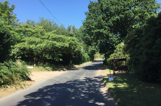
The woodland is dominated by a variety of tree species, including oak, beech, and ash, providing a diverse and vibrant ecosystem. The forest floor is adorned with a carpet of wildflowers, ferns, and moss, adding to the area's natural beauty. Visitors can enjoy leisurely walks along the well-maintained trails, immersing themselves in the serene surroundings.
Bankyfield Shaw is home to an abundance of wildlife, with various bird species such as woodpeckers and owls frequently spotted among the treetops. Squirrels scurrying across branches and deer grazing in clearings are also a common sight. Nature lovers can indulge in birdwatching and wildlife photography, capturing the enchanting moments that unfold in this idyllic woodland.
The woodland is well-preserved and cared for by the local authorities, ensuring its natural integrity and protecting the habitat of its inhabitants. It also offers picnic areas and designated spots for camping, allowing visitors to fully experience the tranquility of the forest.
Bankyfield Shaw provides a perfect escape from the hustle and bustle of daily life, offering a serene retreat where visitors can connect with nature and enjoy the beauty of the Sussex countryside.
If you have any feedback on the listing, please let us know in the comments section below.
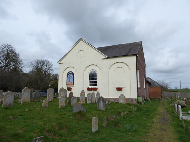
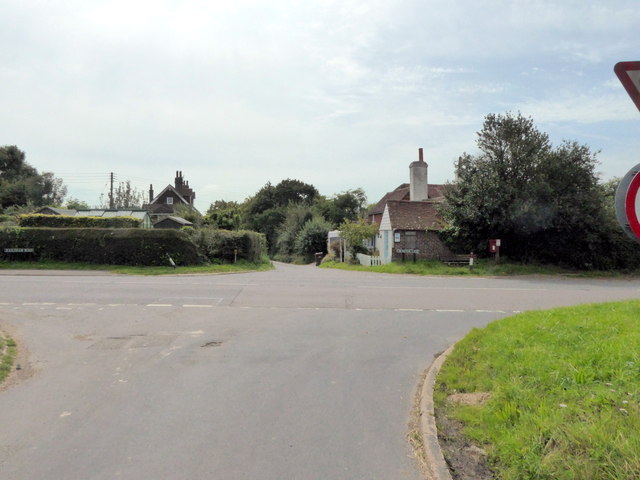
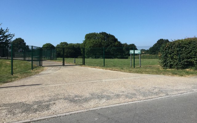
Bankyfield Shaw Images
Images are sourced within 2km of 50.898607/0.3165709 or Grid Reference TQ6213. Thanks to Geograph Open Source API. All images are credited.


Bankyfield Shaw is located at Grid Ref: TQ6213 (Lat: 50.898607, Lng: 0.3165709)
Administrative County: East Sussex
District: Wealden
Police Authority: Sussex
What 3 Words
///obstruct.budget.fidget. Near Herstmonceux, East Sussex
Nearby Locations
Related Wikis
Herstmonceux
Herstmonceux ( HURSS-mən-ZOO, -SOO, or horss-MOWN-seez) is a village and civil parish in the Wealden District of East Sussex, England, which includes...
Cowbeech
Cowbeech is a small village in the civil parish of Herstmonceux in the Wealden district of East Sussex, England. Its nearest town is Hailsham, which lies...
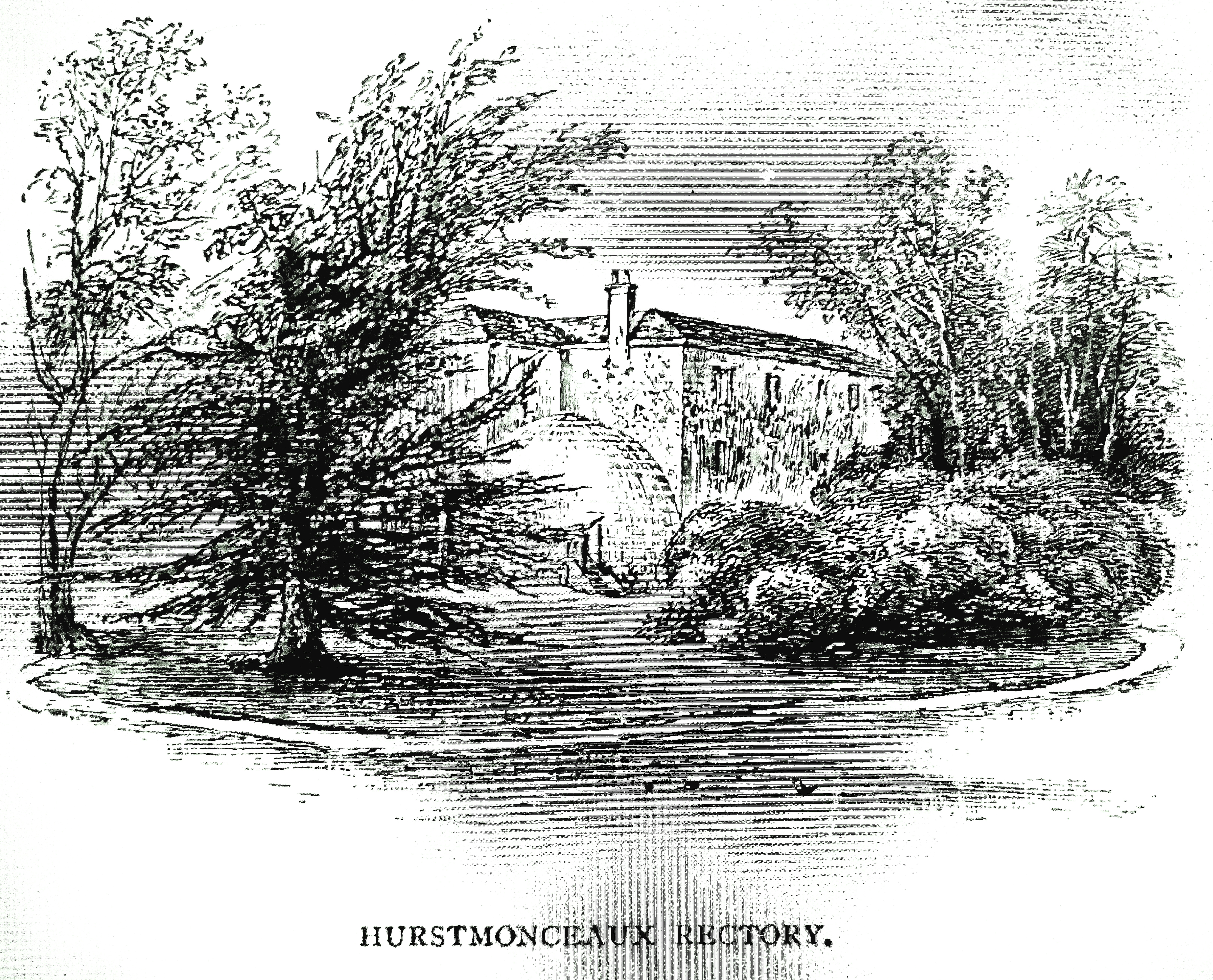
Buckwell Place
Buckwell Place (formerly Herstmonceux Rectory) is a country house within the civil parish of Herstmonceux, East Sussex, England. It is a privately owned...

Herstmonceux Free Church
Herstmonceux Free Church is a congregational chapel located in Herstmonceux, East Sussex. It was initially constructed at its site on Chapel Row in 1811...

Windmill Hill, East Sussex
Windmill Hill is a village in the civil parish of Herstmonceux, in the Wealden district of East Sussex, England. In 2020 it had an estimated population...
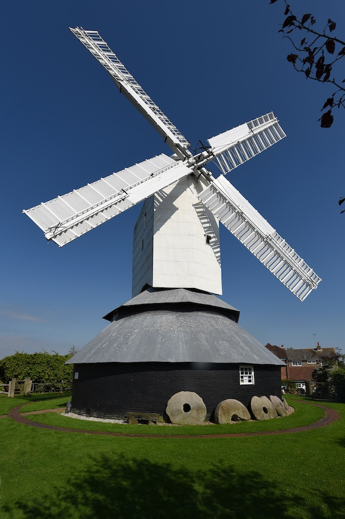
Windmill Hill Mill, Herstmonceux
Windmill Hill Mill is a grade II* listed post mill at Herstmonceux, Sussex, England which has been restored and now operates as a working mill. The mill...
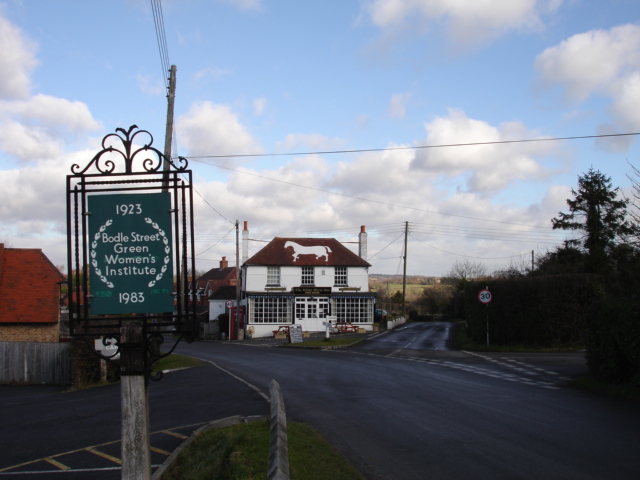
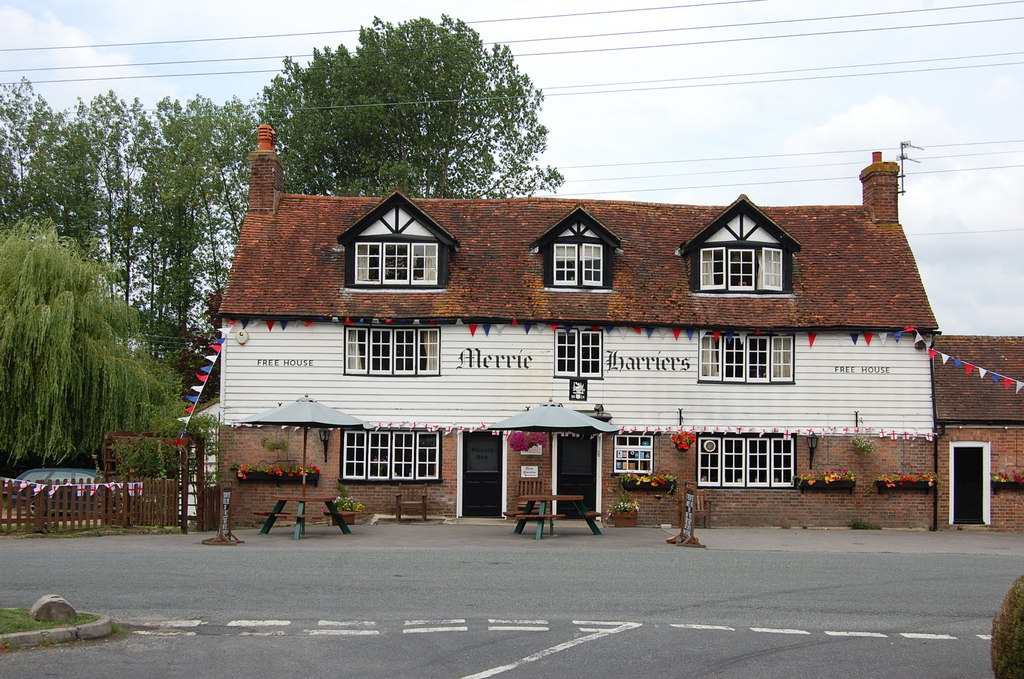
Bodle Street Green
Bodle Street Green is a small village in the civil parish of Warbleton, in the Wealden district of East Sussex, England. Its nearest town is Hailsham,...
List of local nature reserves in East Sussex
Local Nature Reserves (LNRs) are designated by local authorities under the National Parks and Access to the Countryside Act 1949. The local authority must...
Nearby Amenities
Located within 500m of 50.898607,0.3165709Have you been to Bankyfield Shaw?
Leave your review of Bankyfield Shaw below (or comments, questions and feedback).