Brick Kiln Plantation
Wood, Forest in Norfolk King's Lynn and West Norfolk
England
Brick Kiln Plantation

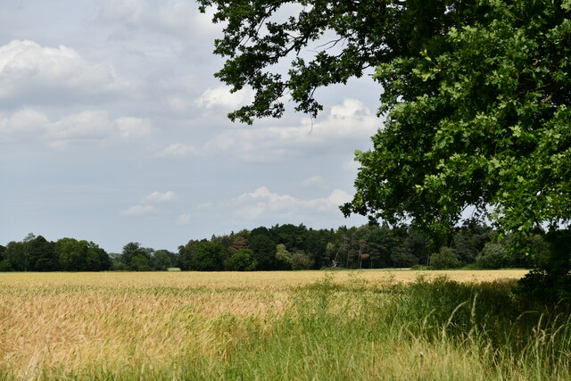
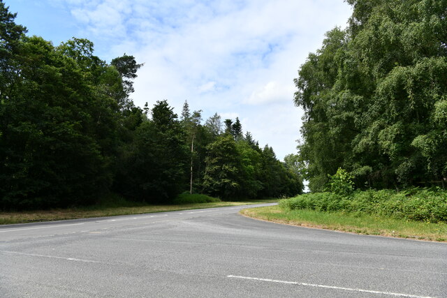
Brick Kiln Plantation, located in Norfolk, is a sprawling woodland area known for its picturesque beauty and rich biodiversity. Covering an impressive expanse of land, this plantation is a popular destination for nature enthusiasts and those seeking a tranquil escape from the bustling city life.
The main feature of Brick Kiln Plantation is its dense forest, which is predominantly composed of various species of deciduous and coniferous trees. The towering oak, beech, and pine trees create a canopy that provides shade and shelter for a diverse range of flora and fauna.
The plantation is also home to several walking trails that wind through the forest, allowing visitors to explore and immerse themselves in the natural surroundings. The trails are well-maintained and offer stunning views of the forest, making it an ideal spot for hikers, joggers, and nature photographers.
For birdwatching enthusiasts, Brick Kiln Plantation is a haven. The woodland is teeming with avian species, including woodpeckers, owls, thrushes, and finches. The peaceful ambiance and abundance of birdlife make it an excellent spot for birdwatching enthusiasts.
In addition to its natural beauty, Brick Kiln Plantation also has historical significance. The name "Brick Kiln" originates from the brick-making industry that flourished in the area during the 18th and 19th centuries. Remnants of the old brick kilns can still be seen, serving as a reminder of the area's industrial past.
Overall, Brick Kiln Plantation is a captivating destination that offers a harmonious blend of natural beauty, recreational activities, and historical significance. Whether one seeks a peaceful stroll, a birdwatching adventure, or a glimpse into Norfolk's past, this woodland plantation caters to a wide range of interests.
If you have any feedback on the listing, please let us know in the comments section below.
Brick Kiln Plantation Images
Images are sourced within 2km of 52.655896/0.40736539 or Grid Reference TF6209. Thanks to Geograph Open Source API. All images are credited.


Brick Kiln Plantation is located at Grid Ref: TF6209 (Lat: 52.655896, Lng: 0.40736539)
Administrative County: Norfolk
District: King's Lynn and West Norfolk
Police Authority: Norfolk
What 3 Words
///says.polishing.angle. Near Downham Market, Norfolk
Nearby Locations
Related Wikis
Runcton Holme
Runcton Holme is a village and civil parish in the English county of Norfolk. It covers an area of 13.89 km2 (5.36 sq mi) and had a population of 676 in...

Stowbridge
Stowbridge or Stow Bridge is a village in the parish of Stow Bardolph, extending into Wiggenhall St Mary Magdalen, in the English county of Norfolk. The...

Holme railway station (Norfolk)
Holme railway station was located on the line between Stow Bardolph and Watlington in Norfolk, England. It served the parish of Runcton Holme, and closed...
Tottenhill
Tottenhill is a civil parish in the English county of Norfolk. It covers an area of 5.90 km2 (2.28 sq mi) and had a population of 231 in 97 households...
Watlington, Norfolk
Watlington is a village, civil parish and electoral ward in the English county of Norfolk. It covers an area of 6.93 km2 (2.68 sq mi) and had a population...
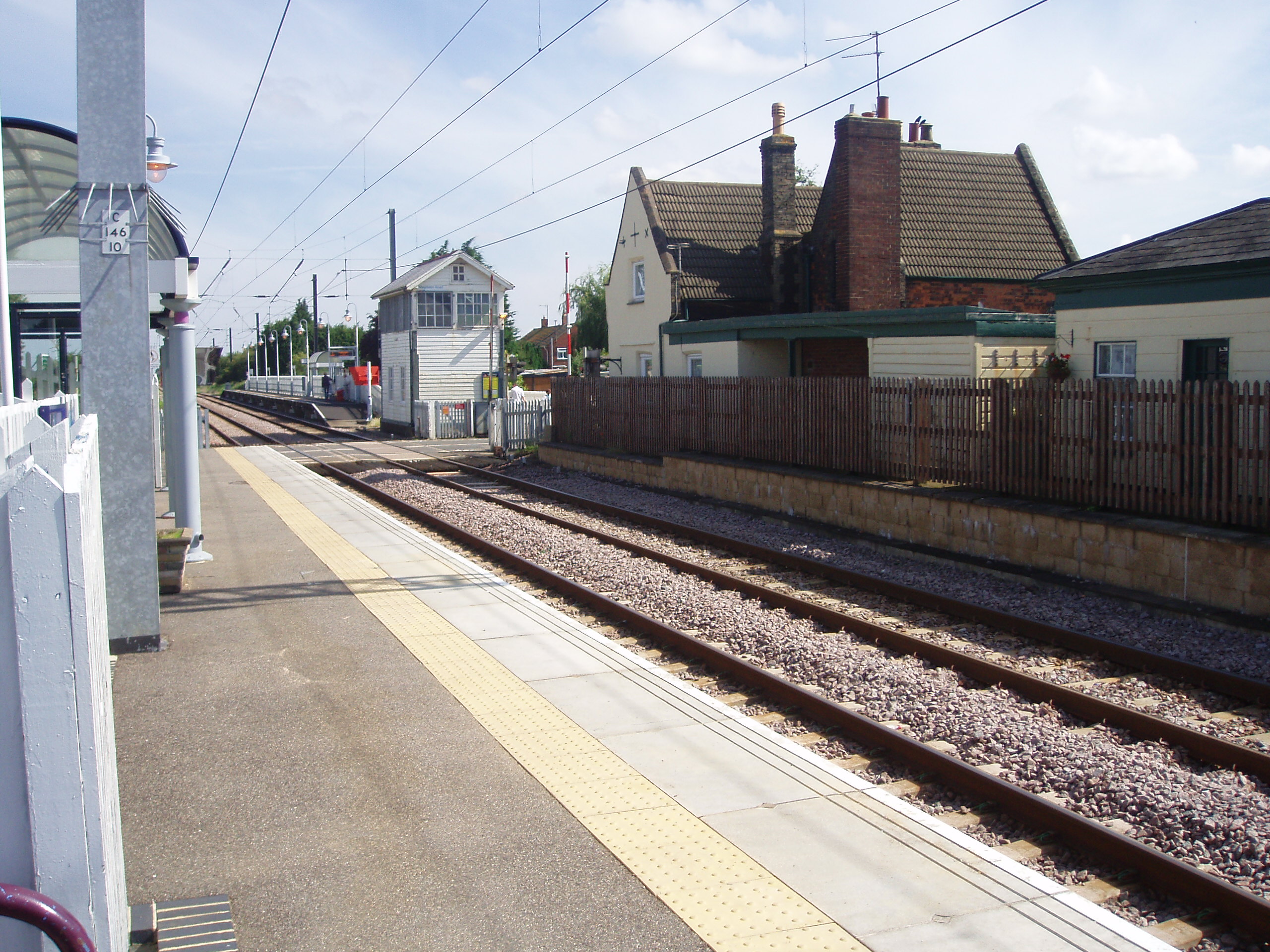
Watlington railway station
Watlington railway station (formerly known as Magdalen Road) is on the Fen line in the east of England, serving the village of Watlington, Norfolk. It...
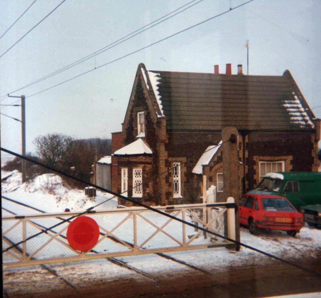
Stow Bardolph railway station
Stow Bardolph railway station, in the parish of Stow Bardolph, Norfolk, served the villages of Stow Bardolph and Stowbridge. It closed in 1963. The Lynn...

Stow Bardolph
Stow Bardolph, sometimes simply referred to as Stow, is an estate and civil parish in the English county of Norfolk, lying between King's Lynn and Downham...
Nearby Amenities
Located within 500m of 52.655896,0.40736539Have you been to Brick Kiln Plantation?
Leave your review of Brick Kiln Plantation below (or comments, questions and feedback).