Saxby Shaw
Wood, Forest in Sussex Wealden
England
Saxby Shaw

Saxby Shaw is a picturesque wood located in the county of Sussex, England. The wood is situated in the heart of the Sussex countryside, surrounded by rolling hills and lush greenery. It covers an expansive area and is known for its dense forest and diverse range of flora and fauna.
The wood is named after the Saxby family, who owned the land for several generations before it was designated as a protected area. Saxby Shaw is a popular destination for nature lovers and outdoor enthusiasts, offering a tranquil and peaceful environment for visitors to explore.
The forest is home to a wide variety of tree species, including oak, beech, and birch. These majestic trees create a stunning canopy that provides shade on sunny days and a sense of enchantment to those who wander through the woodland trails. The forest floor is covered in a blanket of moss, ferns, and wildflowers, adding to the overall beauty of the area.
Wildlife is abundant in Saxby Shaw, with numerous bird species, such as woodpeckers and owls, making their homes among the trees. Squirrels can often be spotted darting between branches, and if lucky, visitors may catch a glimpse of a deer gracefully roaming through the undergrowth.
For those looking to immerse themselves in the natural beauty of Sussex, Saxby Shaw is a must-visit destination. Its serene atmosphere, diverse ecosystem, and stunning scenery make it a perfect location for walking, picnicking, or simply enjoying the tranquility of nature.
If you have any feedback on the listing, please let us know in the comments section below.
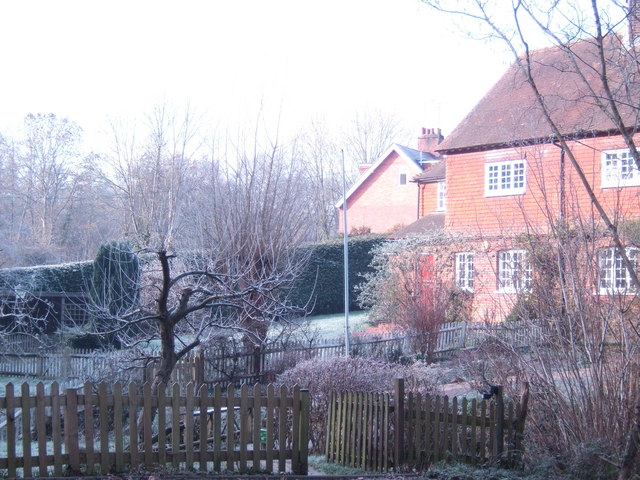
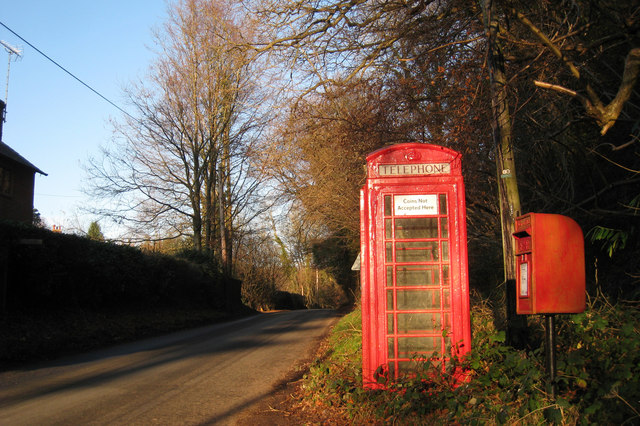
Saxby Shaw Images
Images are sourced within 2km of 51.043077/0.32140348 or Grid Reference TQ6229. Thanks to Geograph Open Source API. All images are credited.


Saxby Shaw is located at Grid Ref: TQ6229 (Lat: 51.043077, Lng: 0.32140348)
Administrative County: East Sussex
District: Wealden
Police Authority: Sussex
What 3 Words
///aimless.diagram.motivates. Near Wadhurst, East Sussex
Nearby Locations
Related Wikis

Wadhurst Park
Wadhurst Park is a landed estate located in Wadhurst, East Sussex. It is owned by the Rausing family. The estate is 796 hectares and includes a deer park...
Tidebrook
Tidebrook is a hamlet within the parish of Wadhurst in East Sussex, England. It is located between the villages of Mayfield and Wadhurst. The brook for...
Uplands Academy
Uplands Academy (formerly Uplands Community College) is a coeducational secondary school and sixth form located in Wadhurst, East Sussex, England. ��2...
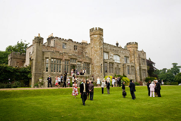
Wadhurst Castle
Wadhurst Castle is a 19th-century castellated mansion just to the west of the town of Wadhurst, East Sussex, England, in an elevated position overlooking...
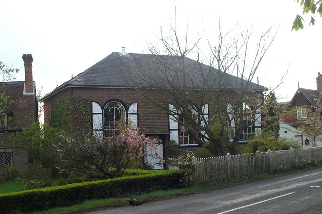
Shover's Green Baptist Chapel
Shover's Green Baptist Chapel is a former Strict Baptist place of worship in the hamlet of Shover's Green in East Sussex, England. Shover's Green is in...

Wadhurst
Wadhurst is a market town in East Sussex, England. It is the centre of the civil parish of Wadhurst, which also includes the hamlets of Cousley Wood and...

Best Beech Hill
Best Beech Hill is a locality in the civil parish of Wadhurst in the Wealden district of East Sussex, England. Wadhurst lies approximately 1.6 miles...

Wadhurst railway station
Wadhurst railway station is on the Hastings line in the south of England and serves the town of Wadhurst, East Sussex. It is 39 miles 23 chains (63.2 km...
Nearby Amenities
Located within 500m of 51.043077,0.32140348Have you been to Saxby Shaw?
Leave your review of Saxby Shaw below (or comments, questions and feedback).