Stonehills Wood
Wood, Forest in Norfolk King's Lynn and West Norfolk
England
Stonehills Wood
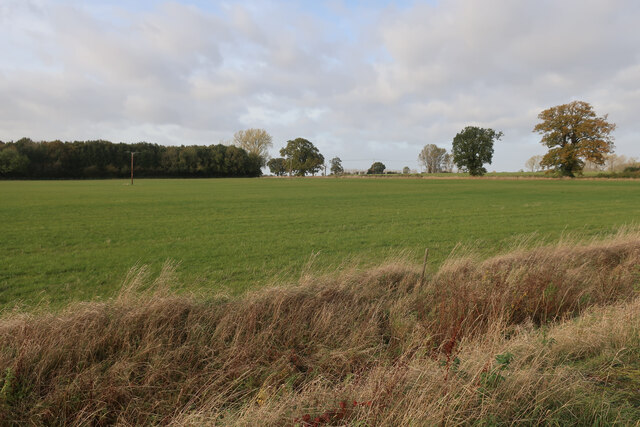
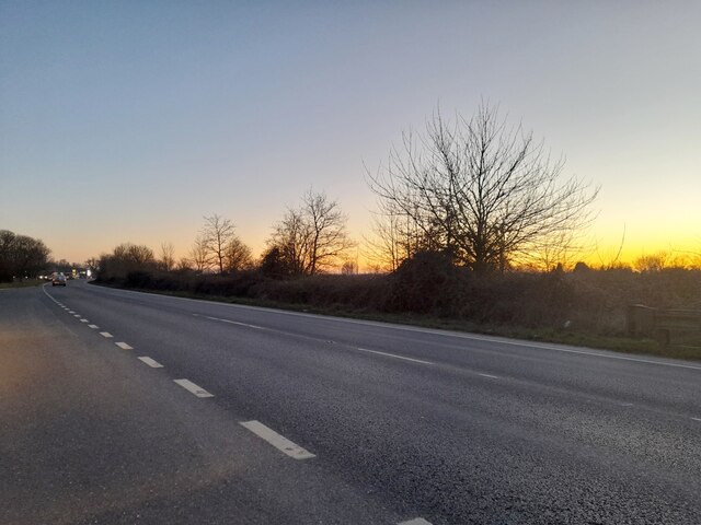
Stonehills Wood is a picturesque forest located in the county of Norfolk, England. Covering an area of approximately 100 hectares, it is a popular destination for nature enthusiasts and outdoor lovers. The wood is situated on a gently sloping terrain, with the highest point reaching about 70 meters above sea level.
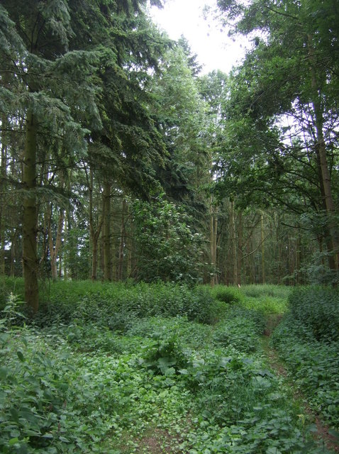
The forest is mainly composed of broadleaf trees such as oak, beech, and birch, creating a diverse and vibrant ecosystem. These trees provide a dense canopy, offering shade and shelter to a variety of flora and fauna. The forest floor is covered in a thick layer of leaf litter, creating a natural habitat for numerous species of insects, small mammals, and birds.
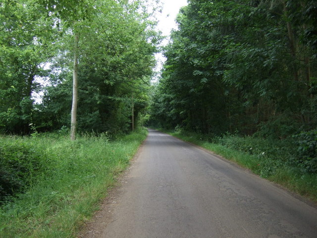
Stonehills Wood is renowned for its beautiful walking trails, which wind through the trees and offer stunning views of the surrounding countryside. These trails are well-maintained and clearly marked, making it easy for visitors to explore the wood at their own pace. Along the way, hikers may encounter wildflowers, ferns, and mosses, adding to the enchanting ambiance of the forest.
The wood is also home to a small pond, providing a peaceful spot for visitors to relax and observe the local wildlife. Ducks, dragonflies, and frogs are frequently spotted around the water's edge. Additionally, the wood offers several picnic areas and benches, allowing visitors to enjoy a leisurely meal amidst the tranquil surroundings.
Overall, Stonehills Wood is a delightful natural haven, offering a serene escape from the hustle and bustle of everyday life. Whether it's a leisurely stroll, a picnic with loved ones, or simply a moment of solitude, this enchanting forest has something to offer for everyone.
If you have any feedback on the listing, please let us know in the comments section below.
Stonehills Wood Images
Images are sourced within 2km of 52.590221/0.40197666 or Grid Reference TF6201. Thanks to Geograph Open Source API. All images are credited.


Stonehills Wood is located at Grid Ref: TF6201 (Lat: 52.590221, Lng: 0.40197666)
Administrative County: Norfolk
District: King's Lynn and West Norfolk
Police Authority: Norfolk
What 3 Words
///coolest.beard.spurring. Near Downham Market, Norfolk
Nearby Locations
Related Wikis

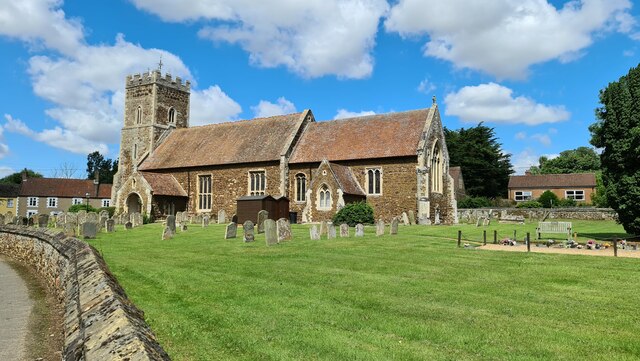
Ryston
Ryston is a small village and civil parish in the English county of Norfolk. It once had its own railway station. The villages name means 'Brushwood farm/settlement...
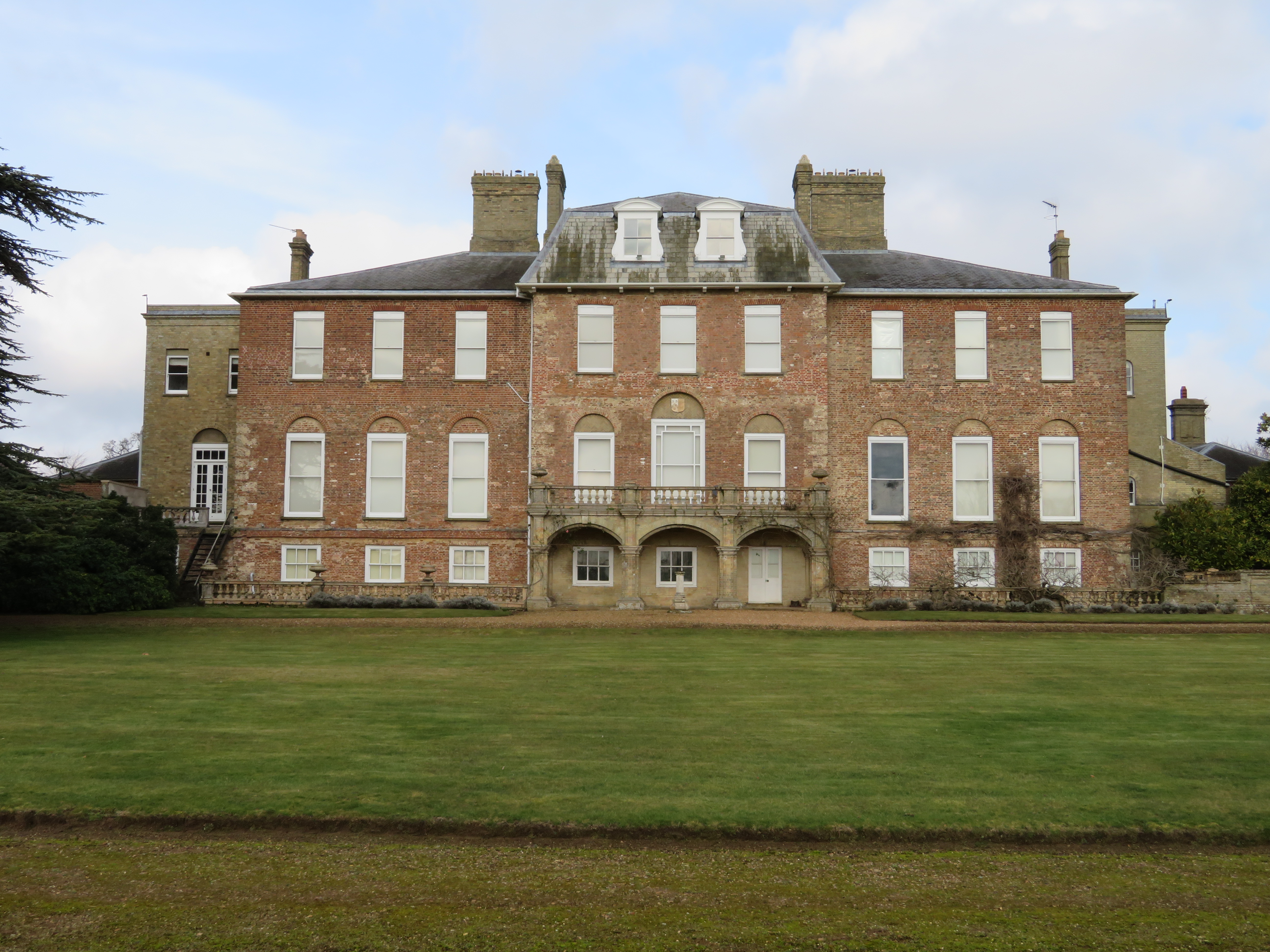
Ryston Hall
Ryston Hall, Ryston, Norfolk, England is a 17th-century country house built by Sir Roger Pratt for himself. The house was constructed between 1669 and...

Bexwell
Bexwell is a small village and former civil parish near Downham Market, now in the parish of Ryston, in the King's Lynn and West Norfolk district, in the...
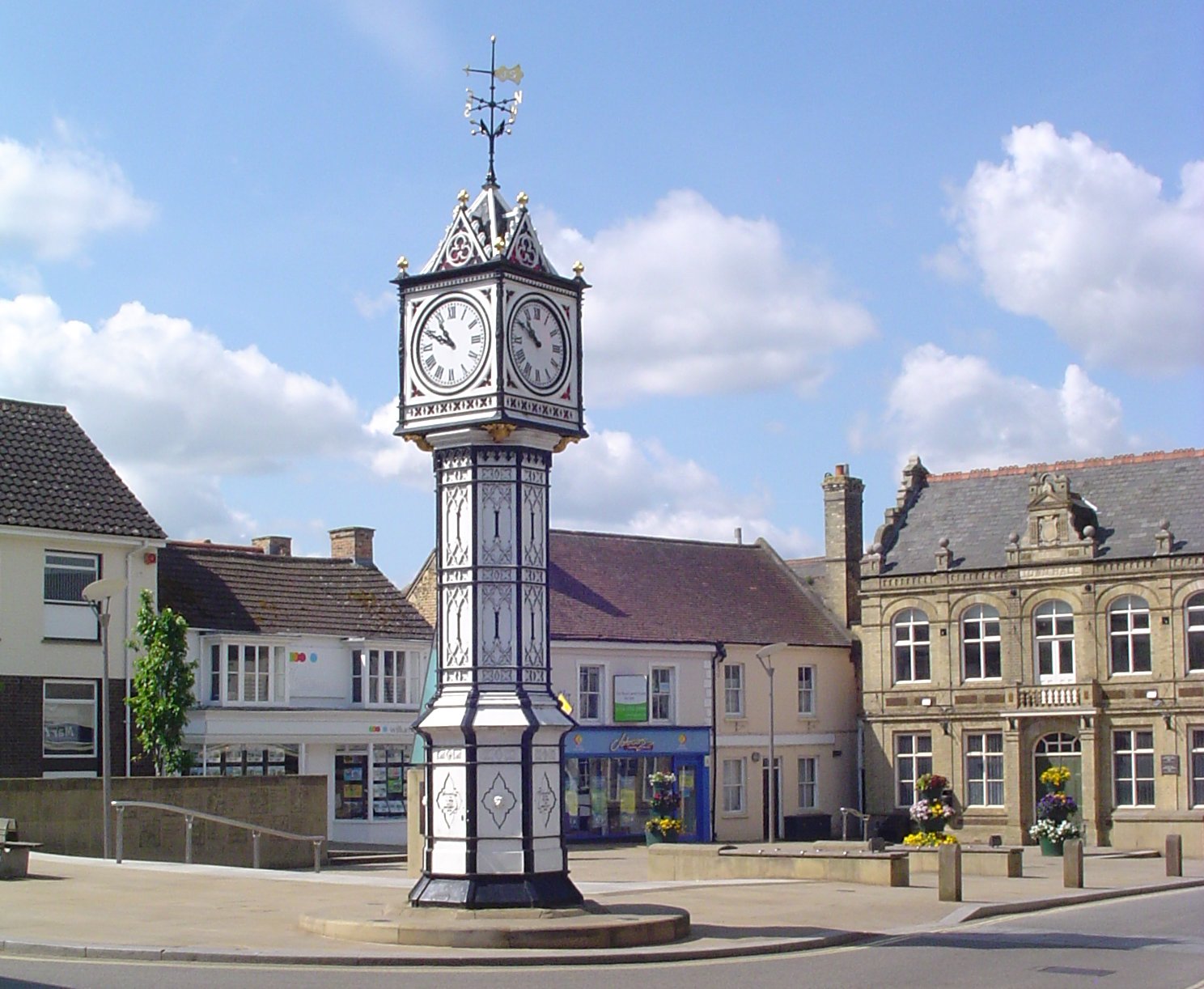
Downham Market
Downham Market, sometimes simply referred to as Downham, is a market town and civil parish in Norfolk, England. It lies on the edge of the Fens, on the...

Denver, Norfolk
Denver is a village and civil parish in the English county of Norfolk. The village is situated on the River Great Ouse, approximately 1 mile (1.6 km) south...

Downham Market Academy
Downham Market Academy (formerly Downham Market High School) is a coeducational secondary school and sixth form with academy status, situated in Downham...
St Dominic, Downham Market
Saint Dominic's Church in Downham Market is the parish church serving the Roman Catholic population of Downham Market and the surrounding areas of Norfolk...
RAF Downham Market
Royal Air Force Downham Market, or more simply RAF Downham Market, was a Royal Air Force station in the west of the county of Norfolk, England which operated...
Nearby Amenities
Located within 500m of 52.590221,0.40197666Have you been to Stonehills Wood?
Leave your review of Stonehills Wood below (or comments, questions and feedback).