Felldyke
Settlement in Cumberland Copeland
England
Felldyke
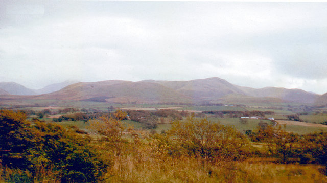
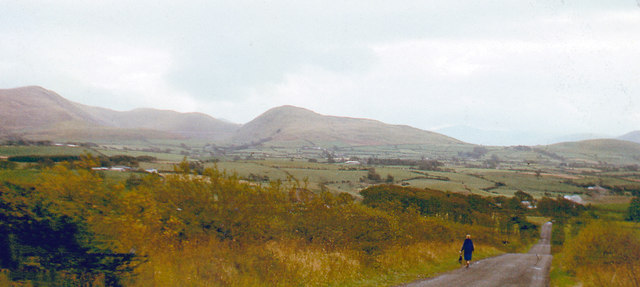
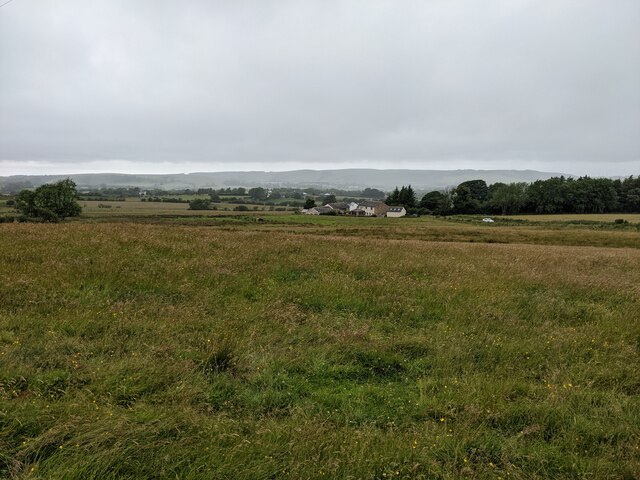
Felldyke is a picturesque village located in the county of Cumberland, in the northwest region of England. Situated in the heart of the Lake District National Park, it is surrounded by stunning natural beauty and offers breathtaking views of the Cumbrian countryside.
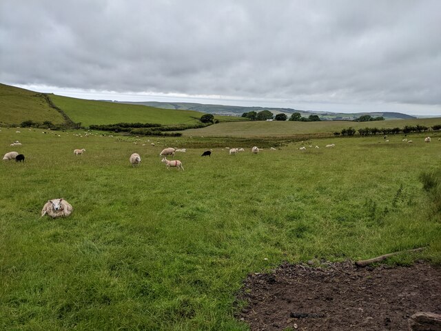
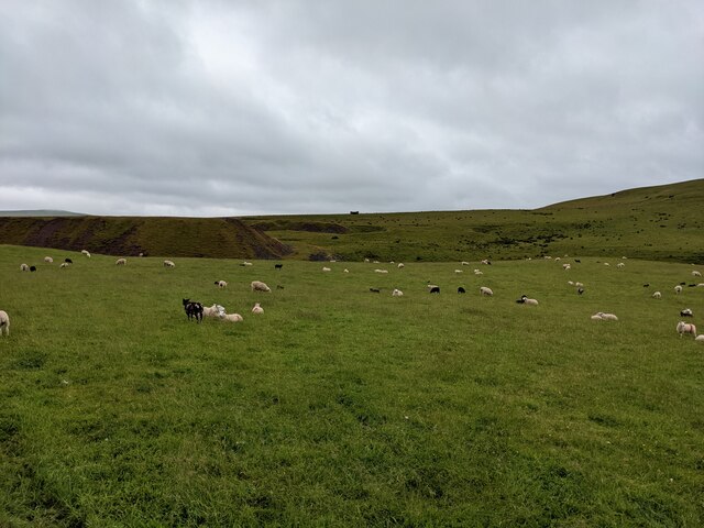
The village of Felldyke is known for its tranquil and idyllic setting. It is nestled at the foot of the majestic Fellside Mountains, which provide a dramatic backdrop to the village. The area is rich in natural resources, with an abundance of lush green fields, sparkling lakes, and towering peaks.
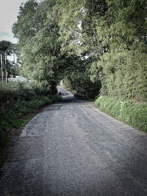
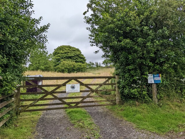
The village itself is small but charming, with a tight-knit community that is proud of its heritage. It features a quaint church, a local pub, and a handful of traditional stone cottages that add to its rustic charm. The streets are lined with vibrant flowers during the summer months, creating a colorful and inviting atmosphere.
For outdoor enthusiasts, Felldyke is a paradise. The village serves as an excellent base for hikers, mountain bikers, and nature lovers who wish to explore the surrounding countryside. There are numerous walking trails that cater to all abilities, ranging from easy strolls to challenging hikes up the nearby mountains.
Overall, Felldyke offers a peaceful and picturesque retreat for those seeking a break from the hustle and bustle of modern life. Its stunning natural surroundings and warm community make it a destination worth visiting for anyone who appreciates the beauty of the English countryside.
If you have any feedback on the listing, please let us know in the comments section below.
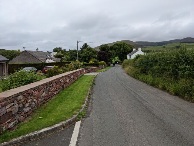
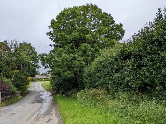
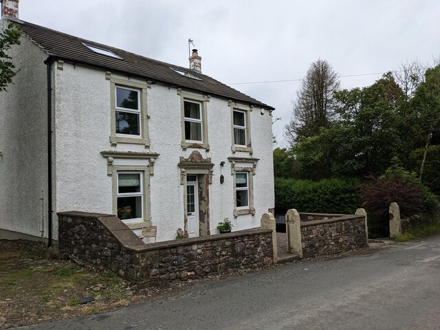
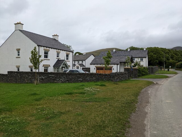
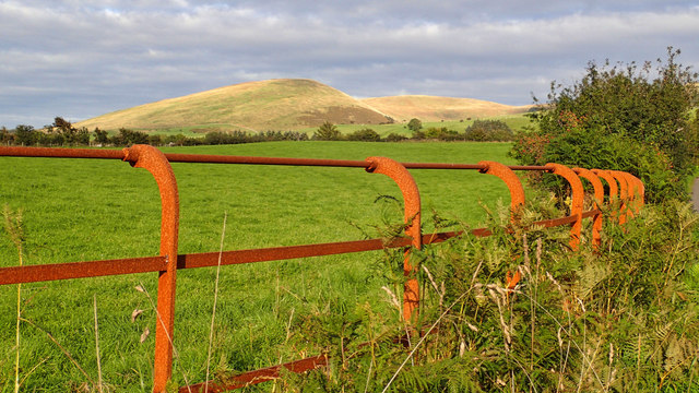
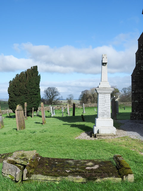
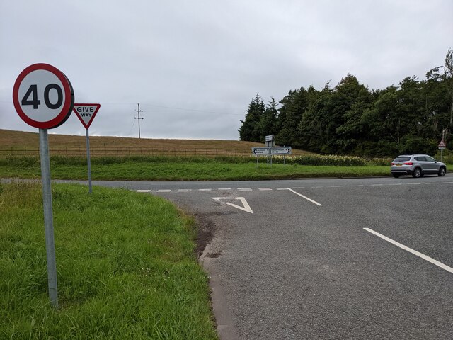
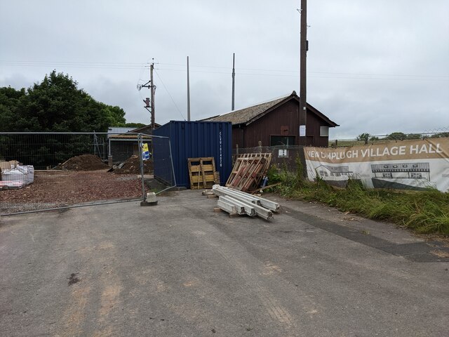
Felldyke Images
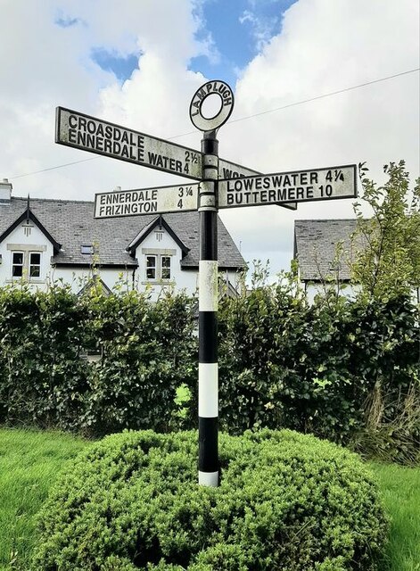
Images are sourced within 2km of 54.557843/-3.4241252 or Grid Reference NY0819. Thanks to Geograph Open Source API. All images are credited.


Felldyke is located at Grid Ref: NY0819 (Lat: 54.557843, Lng: -3.4241252)
Administrative County: Cumbria
District: Copeland
Police Authority: Cumbria
What 3 Words
///drumbeat.kipper.shredding. Near Frizington, Cumbria
Nearby Locations
Related Wikis

Kelton Head
Kelton Head is a hamlet in Cumbria, England. It has just four houses, and is very close to Kelton Head Quarry, near Rowrah. Despite this, it is in the...
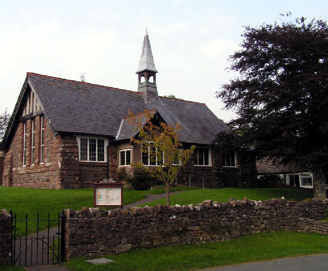
Kirkland Mission Church
Kirkland Mission Church is an Anglican church in Kirkland, in Cumbria in northern England. It falls within the deanery of Calder and the diocese of Carlisle...

Kirkland, Lamplugh
Kirkland is a small village near the A5086 road, in the Copeland district, in the English county of Cumbria. The nearest town is Cleator Moor. The Bible...

Knock Murton
Knock Murton or Murton Fell is a hill of 464.4 metres (1,524 ft) in the north west of the Lake District, England. It lies in the Borough of Copeland in...
Nearby Amenities
Located within 500m of 54.557843,-3.4241252Have you been to Felldyke?
Leave your review of Felldyke below (or comments, questions and feedback).