Chalket Wood
Wood, Forest in Kent Tunbridge Wells
England
Chalket Wood

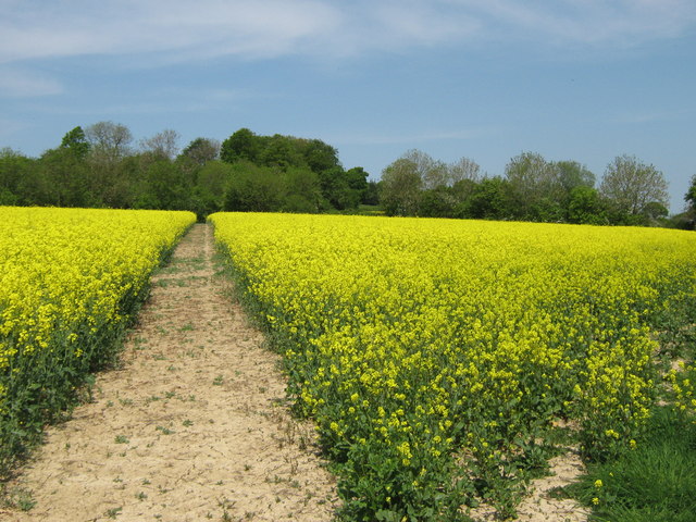
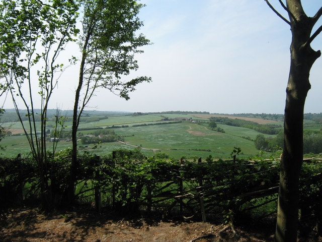
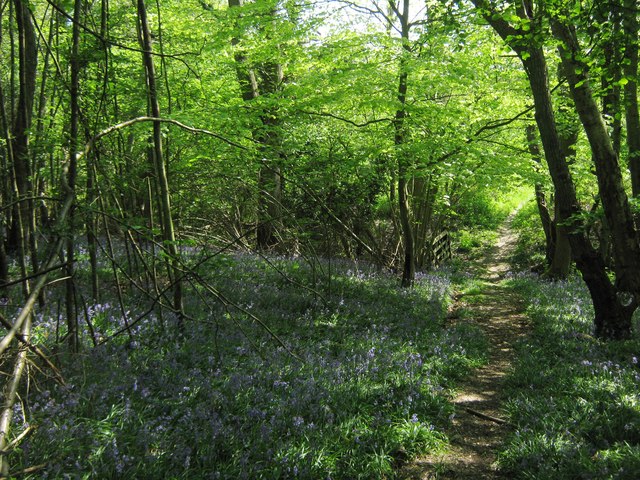
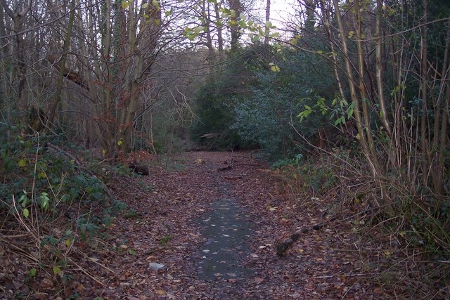
Chalket Wood is a picturesque woodland located in the county of Kent, England. Situated near the village of Challock, this forested area spans approximately 50 hectares and is renowned for its natural beauty and diverse wildlife.
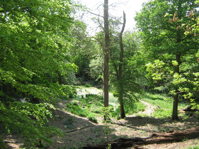
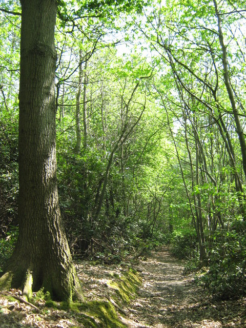
The woodland is predominantly made up of a mixture of broadleaf trees such as oak, beech, and ash, creating a rich and vibrant habitat. These trees provide a dense canopy that allows only dappled sunlight to filter through, resulting in a cool and tranquil atmosphere.
Chalket Wood is home to a wide range of flora and fauna. Numerous bird species can be spotted in the area, including woodpeckers, owls, and various songbirds. The forest floor is also teeming with life, with an array of wildflowers, ferns, and fungi adding to the woodland's enchanting charm.
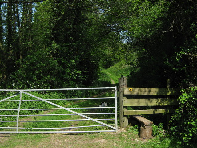
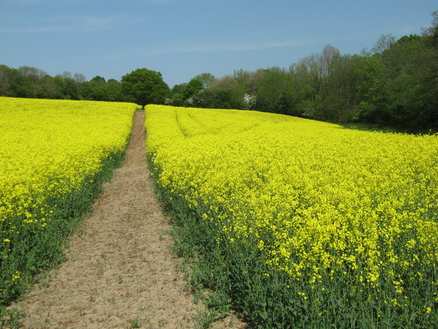
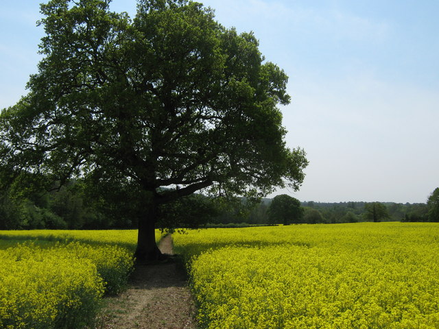
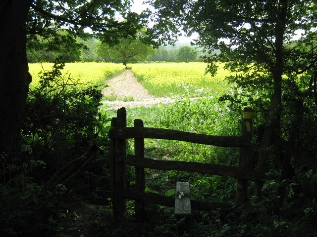
The forest offers a network of well-maintained footpaths and trails, making it a popular destination for walkers, hikers, and nature enthusiasts. These pathways wind through the wood, allowing visitors to explore the diverse ecosystems and take in the stunning views.
Chalket Wood also has historical significance, as it was once part of the hunting grounds of the nearby Challock Manor. Remnants of ancient boundary walls and ditches can still be seen, adding an intriguing layer of heritage to the woodland.
Overall, Chalket Wood is a treasured natural gem in Kent, providing a peaceful escape for those seeking solace in nature and a chance to immerse themselves in the beauty of the English countryside.
If you have any feedback on the listing, please let us know in the comments section below.
Chalket Wood Images
Images are sourced within 2km of 51.139522/0.31704648 or Grid Reference TQ6240. Thanks to Geograph Open Source API. All images are credited.


Chalket Wood is located at Grid Ref: TQ6240 (Lat: 51.139522, Lng: 0.31704648)
Administrative County: Kent
District: Tunbridge Wells
Police Authority: Kent
What 3 Words
///minute.juror.ridge. Near Pembury, Kent
Nearby Locations
Related Wikis

Pembury
Pembury is a large village in Kent, in the south east of England, with a population of 6,128 at the 2011 Census. It lies just to the north-east of Royal...
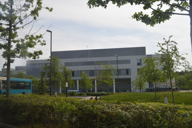
Tunbridge Wells Hospital
Tunbridge Wells Hospital is a large district general hospital in Pembury near Royal Tunbridge Wells, Kent, England, run by the Maidstone and Tunbridge...
Pembury Cutting and Pit
Pembury Cutting and Pit is a 1.6-hectare (4.0-acre) geological Site of Special Scientific Interest east of Tunbridge Wells in Kent. It is a Geological...
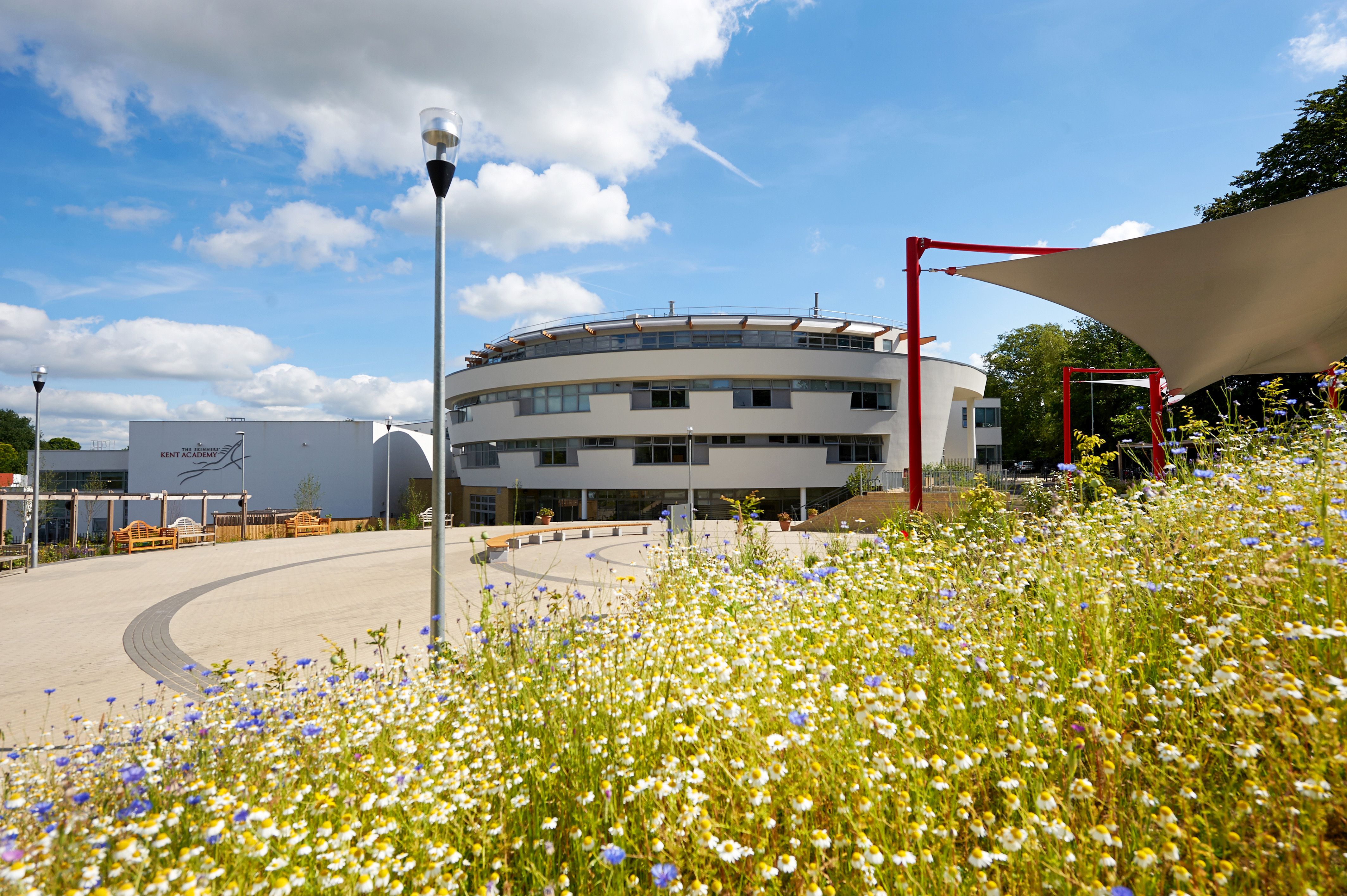
The Skinners' Kent Academy
The Skinners' Kent Academy (formerly Sandown Court then later renamed to Tunbridge Wells High School) is a secondary school with academy status in Royal...

Beechwood School, Royal Tunbridge Wells
Beechwood School is a co-educational independent day and boarding school for children aged 3–18, which comprises a Nursery, Preparatory School and Senior...

Dunorlan Park
Dunorlan Park is a park and grounds in Royal Tunbridge Wells, UK. Totalling approximately 78 acres (32 ha) and containing a 6-acre (2.4 ha) lake, the grounds...

Kent College, Pembury
Kent College is an independent day and boarding school from 3-18. Forest Explorers Nursery is for girls and boys from rising 3 years, boys can join Reception...

Tunbridge Wells (UK Parliament constituency)
Tunbridge Wells is a constituency in Kent represented in the House of Commons of the UK Parliament since 2005 by Greg Clark, a Conservative who served...
Nearby Amenities
Located within 500m of 51.139522,0.31704648Have you been to Chalket Wood?
Leave your review of Chalket Wood below (or comments, questions and feedback).