Courtwood Shaw

Wood, Forest in Kent Dartford

England

Courtwood Shaw

Longfield Road, Longfield Hill Longfield Road leaving the small hamlet of Longfield Hill to head across Kent countryside to Meopham.  The stone at the foot of the telegraph pole marks a parish boundary.

This image was taken during the late afternoon on an October day.  The sun was low in the sky, casting long shadows.  Sunset would follow soon afterwards.
Longfield Road, Longfield Hill Credit: Malc McDonald

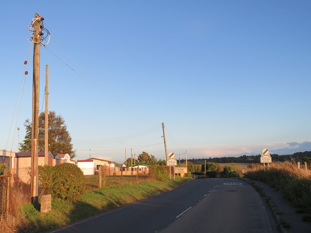
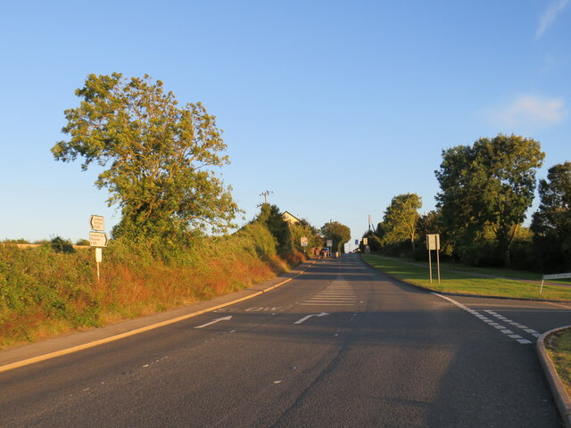
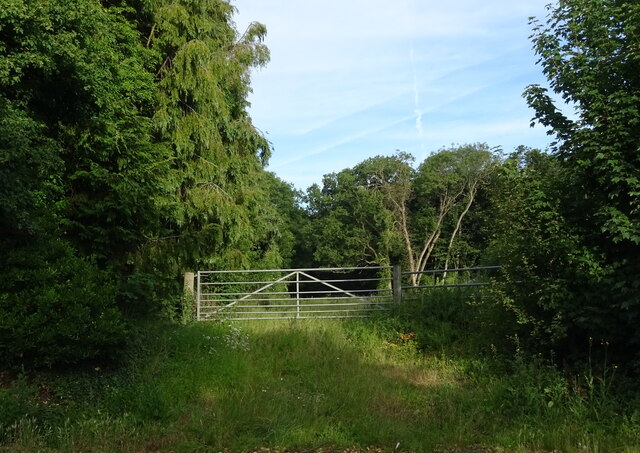
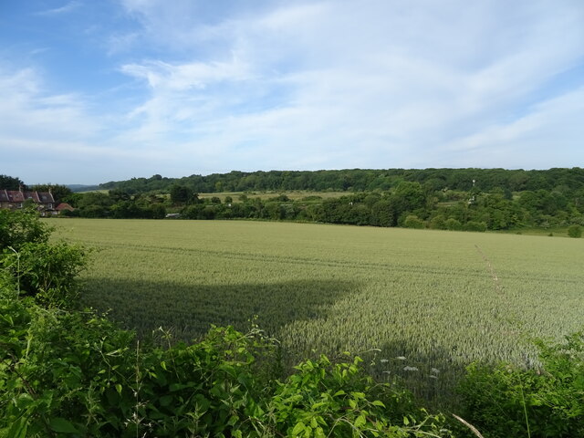
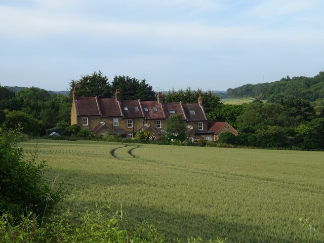
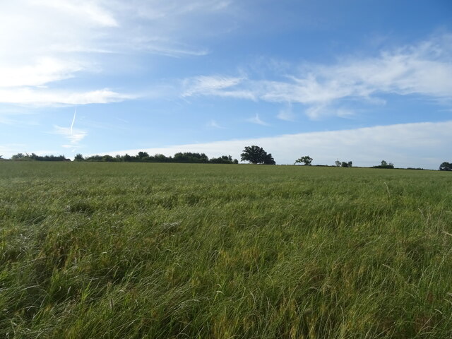
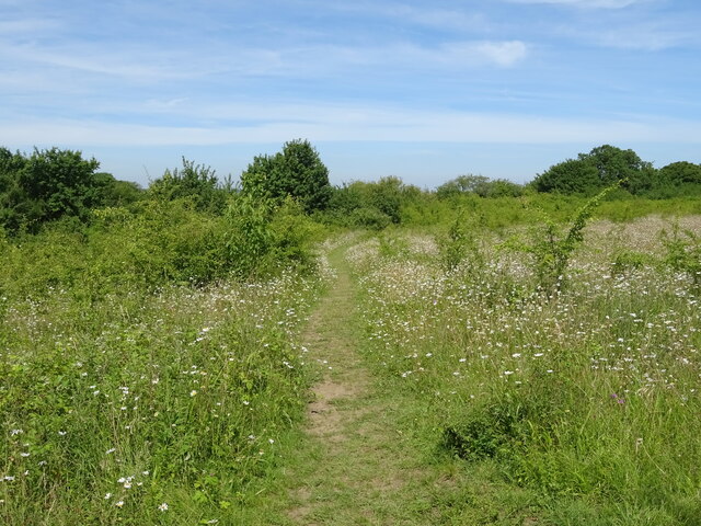
Courtwood Shaw is a pristine woodland located in the county of Kent, England. Spanning over a vast area, it is considered one of the most picturesque woodlands in the region. The shaw, which is synonymous with a wood or a forest, is surrounded by rolling hills and meandering streams, offering a tranquil and serene escape from the bustling city life.

The woodland is primarily composed of native tree species, including oak, birch, beech, and ash, creating a diverse and vibrant ecosystem. The dense canopy formed by these trees provides a haven for numerous wildlife species, such as deer, foxes, badgers, and a wide variety of bird species. Nature enthusiasts and birdwatchers frequent the area to observe and appreciate the abundance of wildlife.

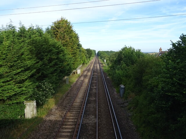
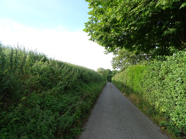
Courtwood Shaw is also a popular destination for outdoor activities and leisurely walks. It is crisscrossed by well-maintained trails, allowing visitors to explore and immerse themselves in the natural beauty of the surroundings. The woodland paths wind through enchanting glades and open clearings, providing breathtaking views at every turn.

In addition to its natural splendor, Courtwood Shaw has historical significance as well. It is believed that the woodland has ancient origins, dating back centuries. The area is steeped in folklore and legends, adding to its mystique and allure.

Overall, Courtwood Shaw in Kent is a captivating woodland that offers a sanctuary for both nature lovers and those seeking tranquility. With its diverse flora and fauna, well-maintained trails, and rich history, it is a place where visitors can connect with nature and experience a sense of peace and serenity.

If you have any feedback on the listing, please let us know in the comments section below.

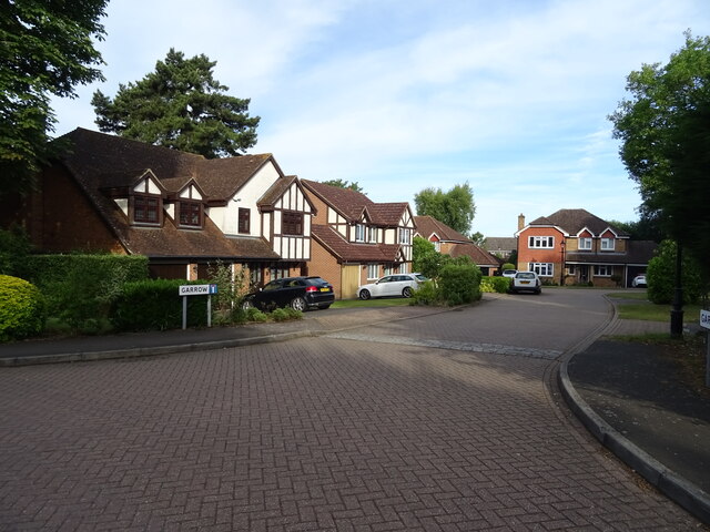
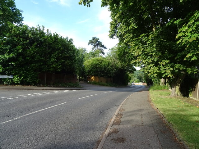
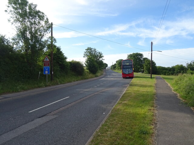
Courtwood Shaw Images

Images are sourced within 2km of 51.403037/0.32884787 or Grid Reference TQ6269. Thanks to Geograph Open Source API. All images are credited.

Longfield Road, Longfield Hill Longfield Road leaving the small hamlet of Longfield Hill to head across Kent countryside to Meopham.  The stone at the foot of the telegraph pole marks a parish boundary.

This image was taken during the late afternoon on an October day.  The sun was low in the sky, casting long shadows.  Sunset would follow soon afterwards.
Longfield Road, Longfield Hill
Longfield Road leaving the small hamlet of Longfield Hill to head across Kent countryside to Meopham. The stone at the foot of the telegraph pole marks a parish boundary. This image was taken during the late afternoon on an October day. The sun was low in the sky, casting long shadows. Sunset would follow soon afterwards.
Main Road, near Longfield Hill Main Road forms part of the route of the B260.  This image was taken not long before sunset on an early October day, as shadows were lengthening.
Main Road, near Longfield Hill
Main Road forms part of the route of the B260. This image was taken not long before sunset on an early October day, as shadows were lengthening.
Main Road, New Barn, near Longfield Main Road forms part of the route of the B260 in Kent.  Here, it passes the village of New Barn as it enters Longfield.
Main Road, New Barn, near Longfield
Main Road forms part of the route of the B260 in Kent. Here, it passes the village of New Barn as it enters Longfield.
Crop field east of New Barn Road
Field entrance off New Barn Road
New Barn Road Looking south.
New Barn Road
Looking south.
Southfleet Avenue Looking north west.
Southfleet Avenue
Looking north west.
Garrow Housing development off New Barn Road.
Garrow
Housing development off New Barn Road.
New Barn Road Towards the B260.
New Barn Road
Towards the B260.
Cereal crop south of New Barn Off the B260.
Cereal crop south of New Barn
Off the B260.
B260 towards Longfield Hill
Crop field towards Martindown Cottages
Railway towards Longfield From the bridge on Hartley Bottom Road.
Railway towards Longfield
From the bridge on Hartley Bottom Road.
Grassland near Manor Farm Off Hartley Bottom Road.
Grassland near Manor Farm
Off Hartley Bottom Road.
Hartley Bottom Road Looking south.
Hartley Bottom Road
Looking south.
George V postbox on New Barn Road, New Barn Postbox No. DA3 85.
See <a href="https://www.geograph.org.uk/photo/7215683">TQ6168 : New Barn Road, New Barn</a> for context.
George V postbox on New Barn Road, New Barn
Postbox No. DA3 85. See TQ6168 : New Barn Road, New Barn for context.
New Barn Road, New Barn Showing position of Postbox No. DA3 85.
See <a href="https://www.geograph.org.uk/photo/7215682">TQ6168 : George V postbox on New Barn Road, New Barn</a> for postbox.
New Barn Road, New Barn
Showing position of Postbox No. DA3 85. See TQ6168 : George V postbox on New Barn Road, New Barn for postbox.
Footpath, Nash Street Towards Istead Rise.
Footpath, Nash Street
Towards Istead Rise.
Show me another place!

Courtwood Shaw is located at Grid Ref: TQ6269 (Lat: 51.403037, Lng: 0.32884787)

Administrative County: Kent

District: Dartford

Police Authority: Kent

What 3 Words

///lively.broom.couches. Near Longfield, Kent

Related Wikis

Lathe of Sutton at Hone

The Lathe of Sutton-at-Hone historically included a large part of Kent: the present-day boroughs of Dartford, Bexley, Greenwich, Bromley, Lewisham, Sevenoaks...

New Barn

New Barn is a village in Kent, England. It is a compact residential area surrounded by open fields which lies four miles southwest of Gravesend. It is...

Axstane Hundred

Axstane was a hundred in the county of Kent, England. The Hundred of Axstane lay south-east of Dartford and Wilmington Hundred. It is called Achestan in...

Toltingtrough

Toltingtrough (or Toltingtrow) was a hundred in the Lathe of Aylesford in the county of Kent, England. This hundred is called, in some ancient writings...

Southfleet

Southfleet is a small village and civil parish in the borough of Dartford in Kent, England. The village is located three miles southwest of Gravesend,...

Northfleet Green

Northfleet Green is a hamlet in the borough of Gravesham in Kent, England. It is located around two miles southwest of Gravesend and just east of Southfleet...

Istead Rise

Istead Rise is a village in the borough of Gravesham in Kent, England, 3 miles (5 km) south of Gravesend. It had a population of 3,437 at the 2011 Census...

Longfield Academy, Kent

Longfield Academy is an academy school in Longfield, Kent, England. The academy is operated by Leigh Academies Trust and occupies the site where Longfield...

Nearby Amenities

Located within 500m of 51.403037,0.32884787
Turning Circle
Lat/Long: 51.3998486/0.328883
Ridgewood
Bus: yes
Public Transport: stop_position
Lat/Long: 51.3999904/0.3306642
Bus Stop
Ridgewood
Bus: yes
Naptan AtcoCode: 2400104432
Naptan NaptanCode: kntjpdja
Public Transport: platform
Lat/Long: 51.4000129/0.3305868
Ridgewood
Bus: yes
Public Transport: stop_position
Lat/Long: 51.4001484/0.3307895
Bus Stop
Ridgewood
Bus: yes
Naptan AtcoCode: 2400104434
Naptan NaptanCode: kntjpdjg
Public Transport: platform
Lat/Long: 51.400116/0.330889
The data included in this document is from www.openstreetmap.org. The data is made available under ODbL.

Have you been to Courtwood Shaw?

Leave your review of Courtwood Shaw below (or comments, questions and feedback).