Court Wood
Wood, Forest in Kent Dartford
England
Court Wood
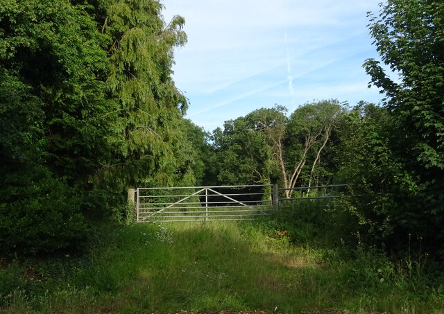
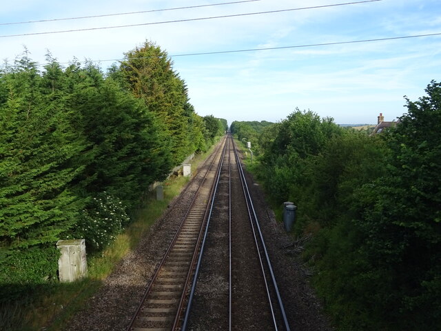
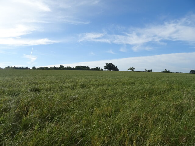
Court Wood is a beautiful and serene forest located in the county of Kent, England. Covering an area of approximately 500 acres, it is a part of the expansive Bedgebury National Pinetum and Forest. The wood is situated in the High Weald Area of Outstanding Natural Beauty and is known for its diverse range of flora and fauna.
The forest is primarily composed of a mixture of broad-leaved and coniferous trees, creating a striking contrast of colors throughout the seasons. Oak, beech, and pine trees dominate the landscape, providing a rich canopy that shelters a variety of wildlife. Visitors can expect to encounter numerous bird species, including woodpeckers, owls, and finches, as well as small mammals such as foxes, badgers, and rabbits.
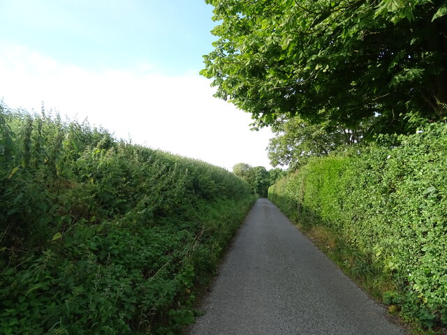
Court Wood offers a range of recreational activities for nature enthusiasts and outdoor lovers. There are several walking trails that wind through the forest, providing breathtaking views and opportunities for exploration. The trails vary in difficulty, catering to both casual strollers and avid hikers. Cyclists can also enjoy the forest, with designated paths allowing them to appreciate the woodland from a different perspective.
In addition to its natural beauty, Court Wood has historical significance. The remnants of ancient earthworks and burial mounds can be found within the forest, hinting at its long human history. It is believed that the wood has been in existence for centuries, with evidence of human activity dating back to the Neolithic period.
Overall, Court Wood in Kent is a captivating and enchanting forest that offers a peaceful respite from the hustle and bustle of modern life. Its breathtaking landscapes, diverse wildlife, and historical charm make it a must-visit destination for nature lovers and history enthusiasts alike.
If you have any feedback on the listing, please let us know in the comments section below.
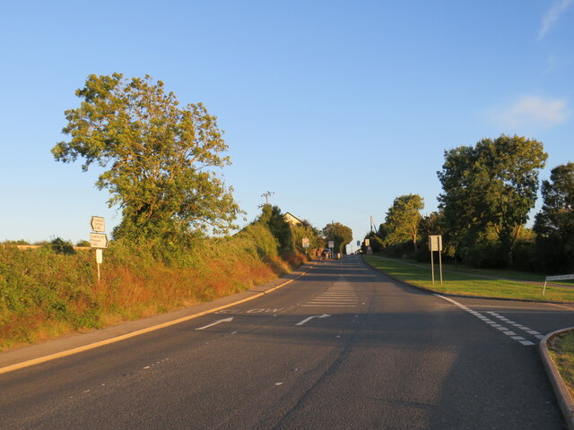
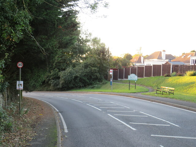
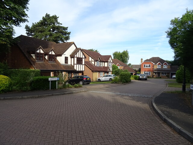
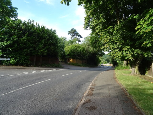
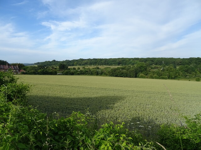
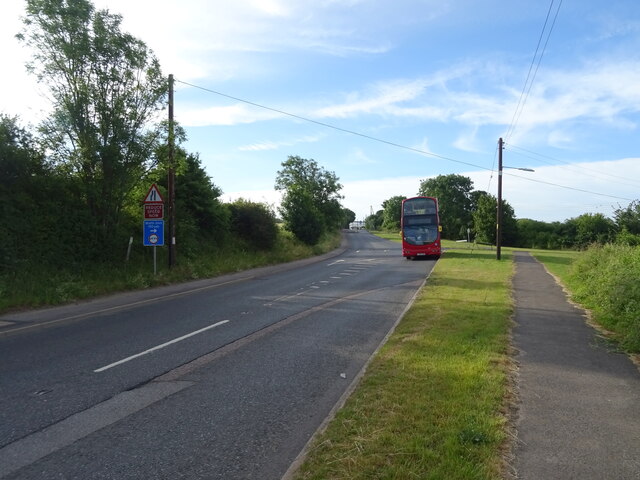
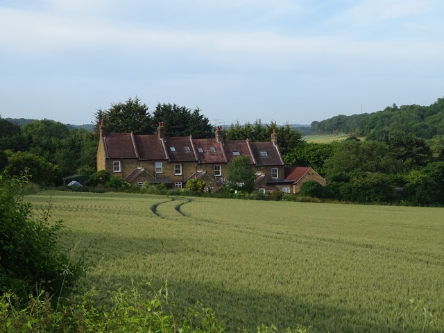
Court Wood Images
Images are sourced within 2km of 51.403279/0.32661715 or Grid Reference TQ6169. Thanks to Geograph Open Source API. All images are credited.


Court Wood is located at Grid Ref: TQ6169 (Lat: 51.403279, Lng: 0.32661715)
Administrative County: Kent
District: Dartford
Police Authority: Kent
What 3 Words
///fats.friday.major. Near Longfield, Kent
Nearby Locations
Related Wikis

Lathe of Sutton at Hone
The Lathe of Sutton-at-Hone historically included a large part of Kent: the present-day boroughs of Dartford, Bexley, Greenwich, Bromley, Lewisham, Sevenoaks...

New Barn
New Barn is a village in Kent, England. It is a compact residential area surrounded by open fields which lies four miles southwest of Gravesend. It is...

Axstane Hundred
Axstane was a hundred in the county of Kent, England. The Hundred of Axstane lay south-east of Dartford and Wilmington Hundred. It is called Achestan in...
Toltingtrough
Toltingtrough (or Toltingtrow) was a hundred in the Lathe of Aylesford in the county of Kent, England. This hundred is called, in some ancient writings...
Southfleet
Southfleet is a small village and civil parish in the borough of Dartford in Kent, England. The village is located three miles southwest of Gravesend,...

Longfield Academy, Kent
Longfield Academy is an academy school in Longfield, Kent, England. The academy is operated by Leigh Academies Trust and occupies the site where Longfield...
Northfleet Green
Northfleet Green is a hamlet in the borough of Gravesham in Kent, England. It is located around two miles southwest of Gravesend and just east of Southfleet...

Longfield
Longfield is a village in the Borough of Dartford, Kent, England. It is located 6 miles south east of Dartford and the same distance south-west of Gravesend...
Nearby Amenities
Located within 500m of 51.403279,0.32661715Have you been to Court Wood?
Leave your review of Court Wood below (or comments, questions and feedback).