Dobb's Wood

Wood, Forest in Essex Uttlesford

England

Dobb's Wood

Road junction near Attridge's Farm Behind me the lane goes to Rands and High Roding, ahead heads off towards The Easters and left goes to Bishop's Green and Barnston.
Road junction near Attridge's Farm Credit: Trevor Harris

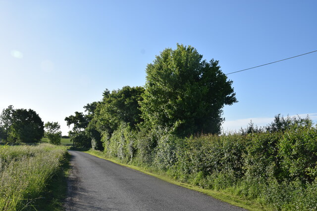
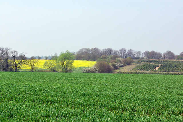
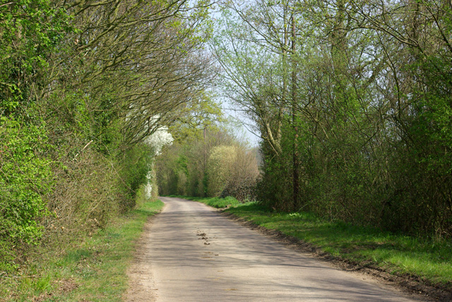
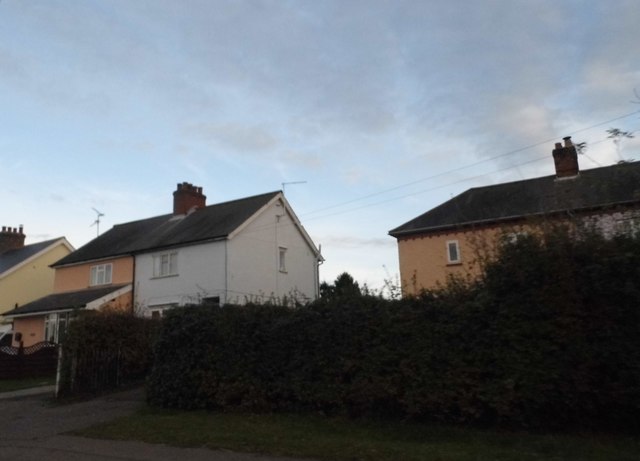
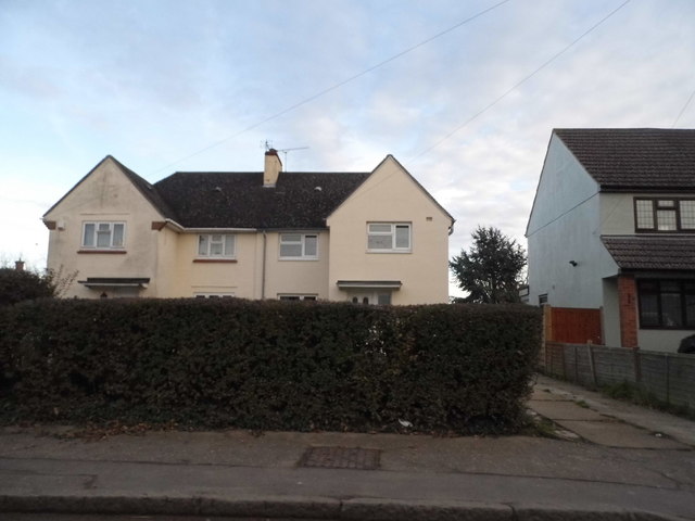
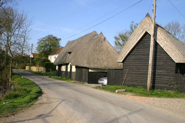
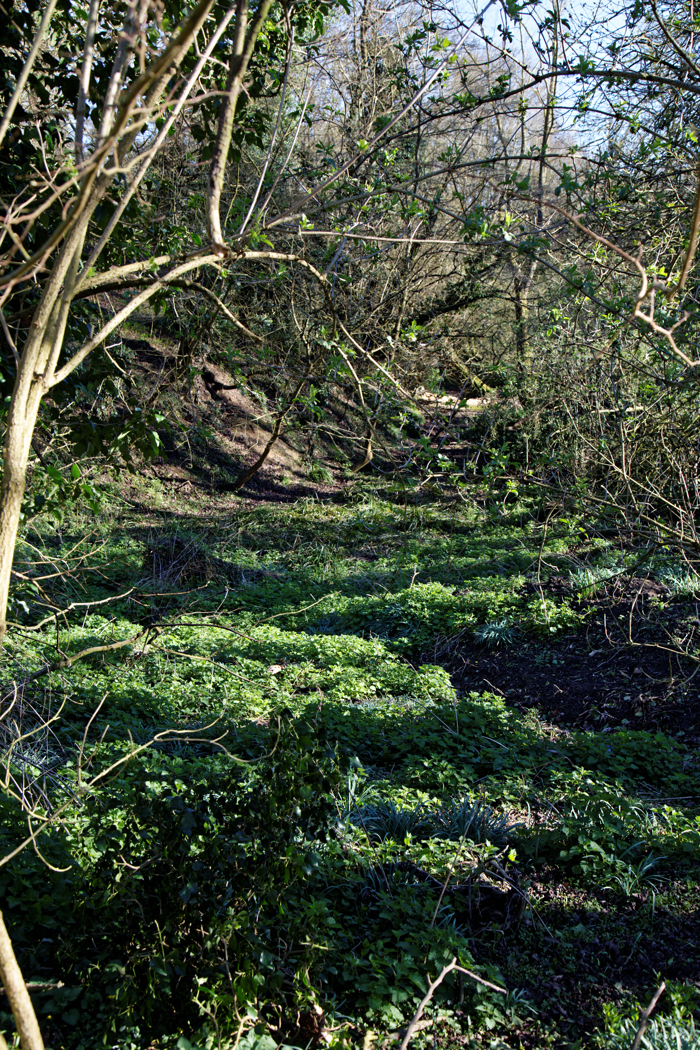
Dobb's Wood is a picturesque woodland located in Essex, England. Situated in the village of Wood, the wood is a popular destination for nature lovers, hikers, and birdwatchers alike. Covering an area of approximately 50 acres, it offers a tranquil and serene escape from the hustle and bustle of daily life.

The wood is predominantly made up of deciduous trees, including oak, beech, and ash, creating a rich and diverse habitat for wildlife. The forest floor is adorned with a carpet of bluebells during the spring months, providing a stunning display of color and fragrance. Dobb's Wood is also home to a variety of bird species, such as woodpeckers and owls, making it a haven for bird enthusiasts.

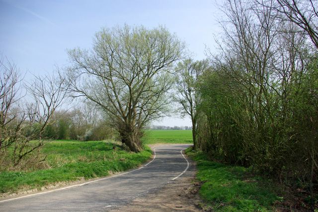
There are several well-maintained walking trails that wind through the wood, allowing visitors to explore its beauty at their own pace. These trails offer opportunities to spot wildlife, admire the flora, and enjoy the peaceful ambiance of the wood.

Dobb's Wood is managed by the local council, ensuring that it is well-preserved and accessible to the public. The wood is open year-round and has designated picnic areas, making it an ideal spot for families and friends to gather and enjoy a day out in nature.

Overall, Dobb's Wood in Essex is a hidden gem, offering a slice of tranquility and natural beauty to all who visit.

If you have any feedback on the listing, please let us know in the comments section below.
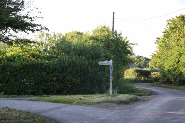
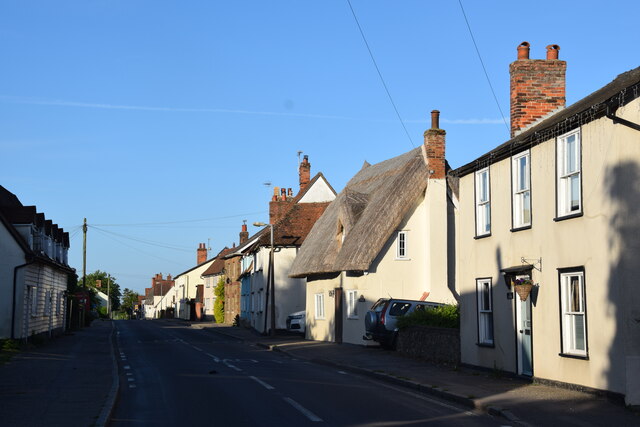
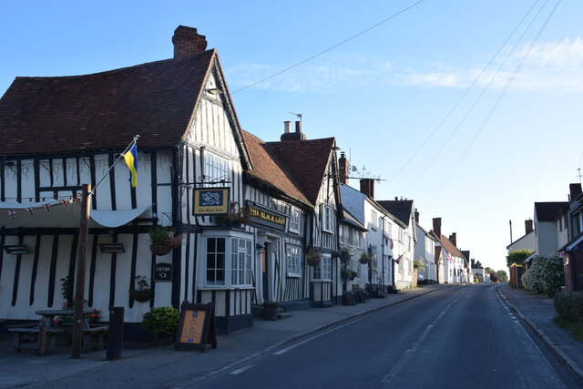
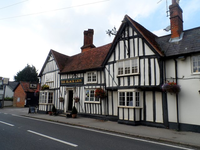
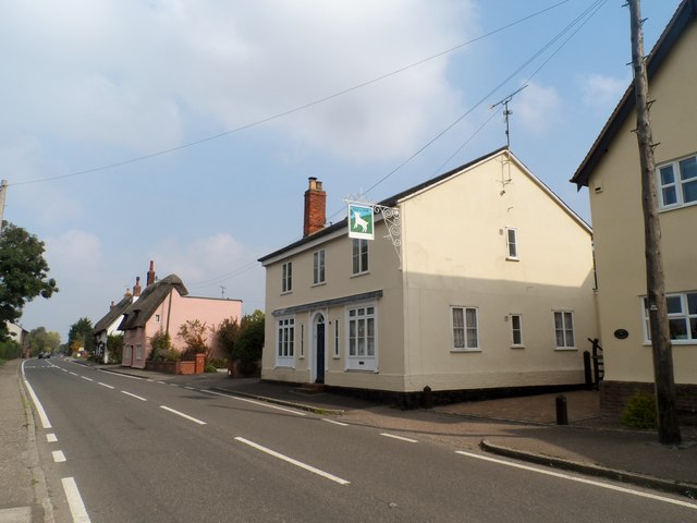
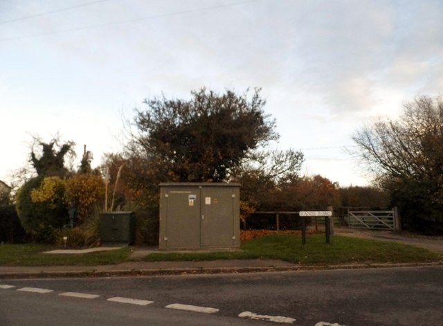
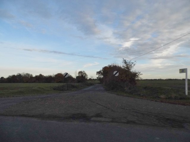
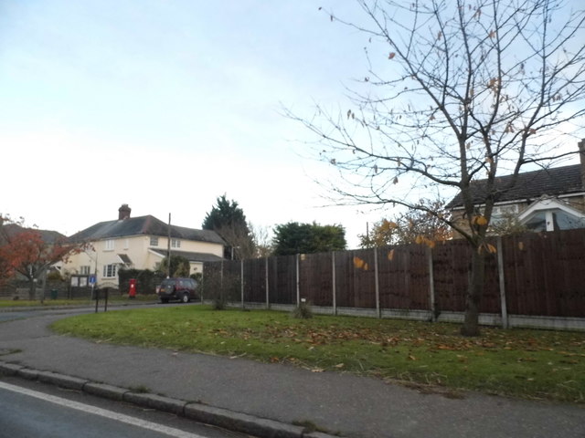
Dobb's Wood Images

Images are sourced within 2km of 51.822233/0.34617076 or Grid Reference TL6116. Thanks to Geograph Open Source API. All images are credited.

Road junction near Attridge's Farm Behind me the lane goes to Rands and High Roding, ahead heads off towards The Easters and left goes to Bishop's Green and Barnston.
Road junction near Attridge's Farm
Behind me the lane goes to Rands and High Roding, ahead heads off towards The Easters and left goes to Bishop's Green and Barnston.
High Roding A view from he northern end of the village. The early morning sun highlights the little thatched cottage. High Roding is very much a linear settlement with very little development back from The Street - which follows the line of a Roman Road. Some modern development has resulted in some "back streets".
High Roding
A view from he northern end of the village. The early morning sun highlights the little thatched cottage. High Roding is very much a linear settlement with very little development back from The Street - which follows the line of a Roman Road. Some modern development has resulted in some "back streets".
The Black Lion and the view north east along The Street The Black Lion proclaims itself "a Traditional 14th Century Coaching Inn" (no doubt correctly).
The Black Lion and the view north east along The Street
The Black Lion proclaims itself "a Traditional 14th Century Coaching Inn" (no doubt correctly).
Lane to High Trees Farm ....and to the sewage works.
Lane to High Trees Farm
....and to the sewage works.
The Black Lion, High Roding The core of the structure is C15 but with many later additions. See <span class="nowrap"><a title="http://www.britishlistedbuildings.co.uk/en-352755-the-black-lion-public-house-high-roothin#.VhrMn_lViko" rel="nofollow ugc noopener" href="http://www.britishlistedbuildings.co.uk/en-352755-the-black-lion-public-house-high-roothin#.VhrMn_lViko">Link</a><img style="margin-left:2px;" alt="External link" title="External link - shift click to open in new window" src="https://s1.geograph.org.uk/img/external.png" width="10" height="10"/></span> for entry in British Listed Buildings.
The Black Lion, High Roding
The core of the structure is C15 but with many later additions. See LinkExternal link for entry in British Listed Buildings.
Village sign, High Roding
The Old Lamb, High Roding It seems to have been converted to residential use. See <span class="nowrap"><a title="http://www.britishlistedbuildings.co.uk/en-352794-the-old-lamb-public-house-high-roothing-#.VhrOavlViko" rel="nofollow ugc noopener" href="http://www.britishlistedbuildings.co.uk/en-352794-the-old-lamb-public-house-high-roothing-#.VhrOavlViko">Link</a><img style="margin-left:2px;" alt="External link" title="External link - shift click to open in new window" src="https://s1.geograph.org.uk/img/external.png" width="10" height="10"/></span> for entry in British Listed Buildings
The Old Lamb, High Roding
It seems to have been converted to residential use. See LinkExternal link for entry in British Listed Buildings
Behind the hedge A rather indirect lane towards Barnston and Dunmow is on the other side.
Behind the hedge
A rather indirect lane towards Barnston and Dunmow is on the other side.
Across the fields to Dobb's Wood
View west over fields The stream in the valley forms the parish boundary between High Easter and High Roding.
View west over fields
The stream in the valley forms the parish boundary between High Easter and High Roding.
Lane to High Roding, Barnston and Dunmow Depending which way you turn at the next junction.
Lane to High Roding, Barnston and Dunmow
Depending which way you turn at the next junction.
Rands Road The road crosses a small stream here, the parish boundary between High Roding and High Easter.
Rands Road
The road crosses a small stream here, the parish boundary between High Roding and High Easter.
Lane from High Roding to Barnston Between Proverbs Green and Bishop's Green.
Lane from High Roding to Barnston
Between Proverbs Green and Bishop's Green.
Rands Road, High Roding
Road junction in High Roding It's a short lane that leads to a farm
Road junction in High Roding
It's a short lane that leads to a farm
Dunmow Road, High Roding
Houses on Dunmow Road, High Roding
Show me another place!

Dobb's Wood is located at Grid Ref: TL6116 (Lat: 51.822233, Lng: 0.34617076)

Administrative County: Essex

District: Uttlesford

Police Authority: Essex

What 3 Words

///translate.trample.potential. Near Great Dunmow, Essex

Nearby Locations

Tree Field Dobb's Wood

Related Wikis

High Roding

High Roding is a village and civil parish in the Uttlesford district of Essex, England. The village is included in the eight hamlets and villages called...

High Easter

High Easter is a village and a civil parish in the Uttlesford district of Essex, England. The village is 7 miles (11 km) northwest from the city of and...

Bishop's Green, Essex

Bishop's Green is a hamlet in the civil parish of High Easter in the Uttlesford district of Essex, England. The hamlet is on the road between the villages...

Stagden Cross

Stagden Cross is a hamlet in the civil parish of High Easter, and the Uttlesford district of Essex, England. The hamlet is 1 mile (1.6 km) east from High...

Garnetts Wood and Barnston Lays

Garnetts Wood and Barnston Lays is a 25 hectare biological Site of Special Scientific Interest two miles south of Great Dunmow in Essex. It is owned and...

Baconend Green

Baconend Green is a hamlet in the Uttlesford district of Essex, England. It is within the parish of Great Canfield.

Bacon End

Bacon End is a hamlet in the civil parish of Great Canfield, and near Great Canfield Castle, in Essex, England. == References == == External links == mid...

Great Canfield Castle

Great Canfield Castle lies in the small village of Great Canfield, 3 miles (5 km) south-west of Great Dunmow in Essex, England: grid reference TL595179...

Have you been to Dobb's Wood?

Leave your review of Dobb's Wood below (or comments, questions and feedback).