Round Wood
Wood, Forest in Kent Tonbridge and Malling
England
Round Wood
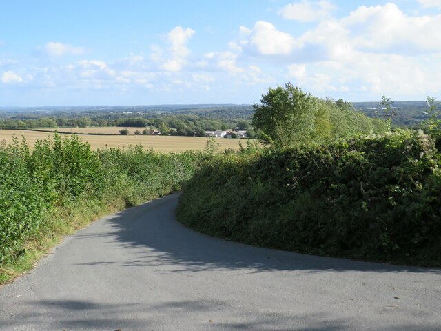
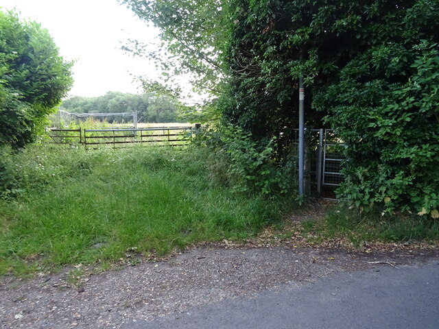
Round Wood is a designated ancient woodland located in the county of Kent, England. Situated near the village of Crockhurst Street, it covers an area of approximately 80 acres and is part of the High Weald Area of Outstanding Natural Beauty.
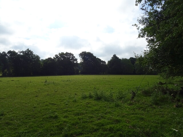
As an ancient woodland, Round Wood has a rich and diverse ecosystem that has been evolving for centuries. The wood is predominantly comprised of broadleaf trees, including oak, beech, and ash, which provide a habitat for a wide variety of flora and fauna. The woodland floor is carpeted with bluebells, wood sorrel, and other wildflowers during the spring months.
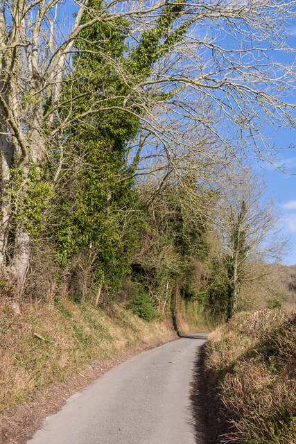
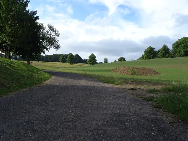
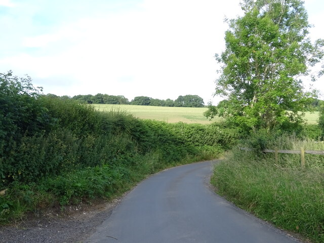
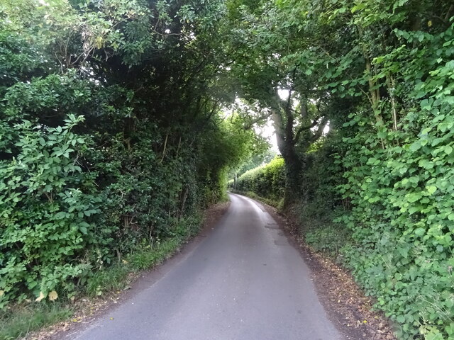
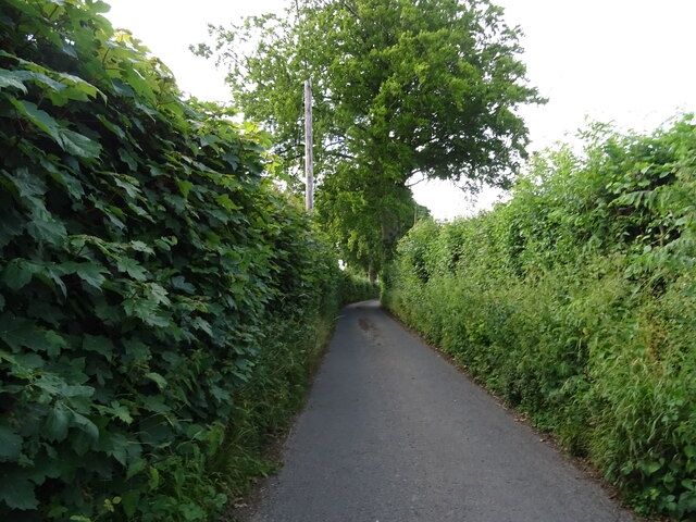
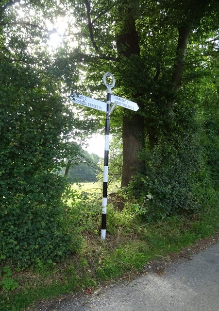
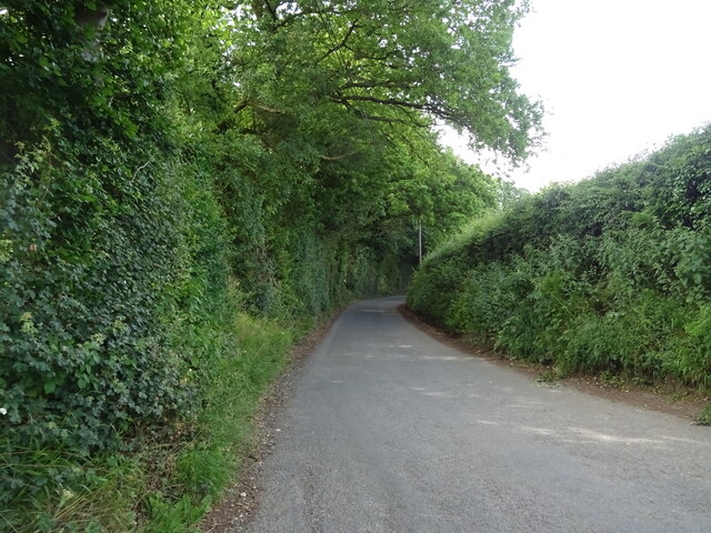
The wood is crisscrossed by a network of footpaths, allowing visitors to explore its natural beauty. These paths lead to hidden ponds, meadows, and glades, providing opportunities for picnicking, bird watching, and photography. The tranquility of Round Wood makes it a popular spot for nature enthusiasts and walkers seeking a peaceful escape from the hustle and bustle of everyday life.
The wood is managed by the Forestry Commission, which ensures that it is sustainably maintained and protected. Conservation efforts include selective felling to promote biodiversity and the preservation of ancient trees. The wood is also used as an educational resource, with guided nature walks and workshops organized to raise awareness about the importance of ancient woodlands.
Round Wood, with its picturesque scenery and rich natural heritage, is a cherished asset to the local community and a haven for nature lovers.
If you have any feedback on the listing, please let us know in the comments section below.
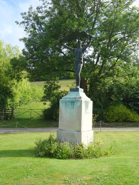
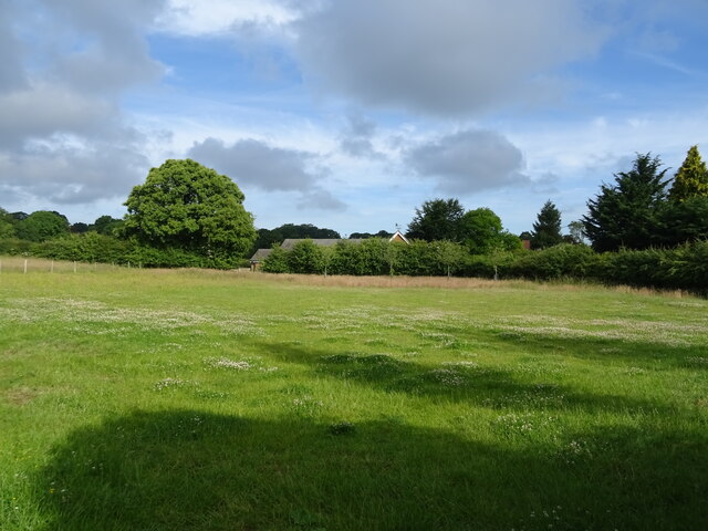
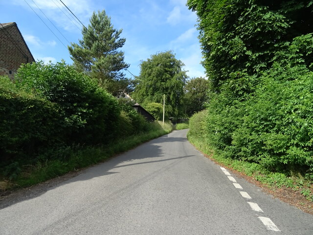
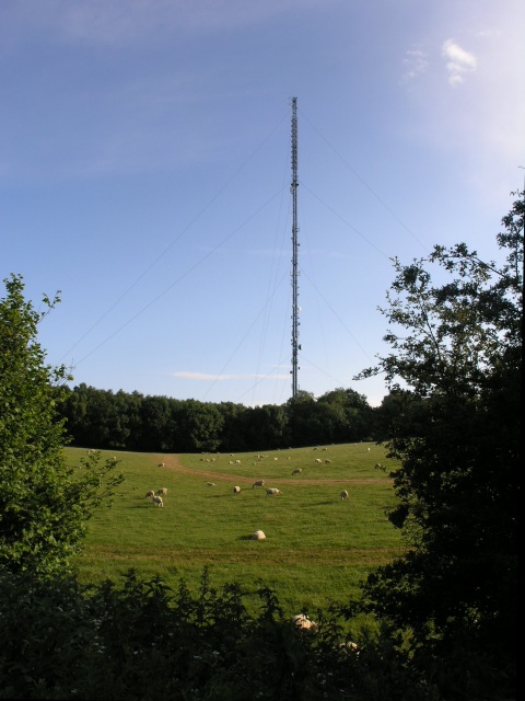
Round Wood Images
Images are sourced within 2km of 51.329885/0.32030102 or Grid Reference TQ6161. Thanks to Geograph Open Source API. All images are credited.


Round Wood is located at Grid Ref: TQ6161 (Lat: 51.329885, Lng: 0.32030102)
Administrative County: Kent
District: Tonbridge and Malling
Police Authority: Kent
What 3 Words
///frogs.translated.tools. Near Culverstone Green, Kent
Nearby Locations
Related Wikis

Stansted, Kent
Stansted (referred to in older texts as Stanstead) is a village and rural parish in the Tonbridge and Malling district of the county of Kent in the United...

Trosley Country Park
Trosley Country Park is in Trottiscliffe, near Vigo, in Kent, England. Once part of a large woodland estate then after many changes, it was passed to Kent...

Vigo Village
Vigo Village is a village and (as simply Vigo) a civil parish in the Gravesham district in Kent, England. It takes its name from a 15th-century public...

Ridley, Kent
Ridley is a place and former civil parish, now in the parish of Ash-cum-Ridley, in the Sevenoaks district, in the county of Kent, England. It lies between...
Wrotham transmitting station
The Wrotham transmitting station is located on the North Downs, close to the village of Wrotham in Kent, England and just north of the M20 motorway. Its...

Wrotham
Wrotham ( ROO-təm) is a village on the Pilgrims' Way in Kent, England, at the foot of the North Downs. It is 1 mile (1.6 km) north of Borough Green and...
Napps, Wrotham
Napps was a cricket ground at Wrotham in Kent. One match played on the ground was given retrospective first-class cricket status. This took place in 1815...
London Golf Club
The London Golf Club is a privately owned golf course located in the village of Ash, Kent, approximately 20 miles southeast of London. == History == The...
Nearby Amenities
Located within 500m of 51.329885,0.32030102Have you been to Round Wood?
Leave your review of Round Wood below (or comments, questions and feedback).