Brick Kiln Plantations

Wood, Forest in Norfolk King's Lynn and West Norfolk

England

Brick Kiln Plantations

Stow Bardolph railway station (site), Norfolk Opened in 1846 as "Stow" by the Lynn & Ely Railway, later part of the Great Eastern Railway, the name was altered to "Stow Bardolph" in 1923. It closed to passengers in 1963 and completely in 1964.
View north towards Holme and Kings Lynn. The two parallel platforms were removed some time after closure but the station house was still extant when this image was taken.
Stow Bardolph railway station (site), Norfolk Credit: Nigel Thompson

Brick Kiln Plantations is a picturesque woodland located in Norfolk, England. This enchanting forest covers an area of approximately 500 acres and is renowned for its scenic beauty and diverse range of flora and fauna. The plantation is primarily made up of woodlands, consisting of a mixture of broadleaf and coniferous trees, creating a captivating landscape throughout the year.

The forest is a haven for nature enthusiasts and wildlife lovers, as it provides a habitat for numerous species of animals and birds. Visitors may be fortunate enough to spot deer, foxes, and squirrels roaming freely amidst the dense foliage. The woodlands also attract a wide variety of bird species, including woodpeckers, owls, and warblers, making it a popular destination for birdwatchers.

Several well-maintained walking trails wind their way through the plantation, allowing visitors to explore and appreciate the natural beauty of the area. These trails, ranging from easy strolls to more challenging hikes, provide an opportunity to immerse oneself in the tranquil surroundings and enjoy the peaceful ambiance of the woodland.

In addition to its natural splendor, Brick Kiln Plantations also holds historical significance. The site was once home to a brick kiln, hence the name, and remnants of this industrial past can still be seen today. These historical artifacts add a unique charm to the plantation and offer a glimpse into the area's rich heritage.

Overall, Brick Kiln Plantations is a captivating woodland that offers a perfect blend of natural beauty, wildlife, and historical significance. Whether one seeks a peaceful retreat or an adventure in nature, this Norfolk gem provides an unforgettable experience for all who visit.

If you have any feedback on the listing, please let us know in the comments section below.

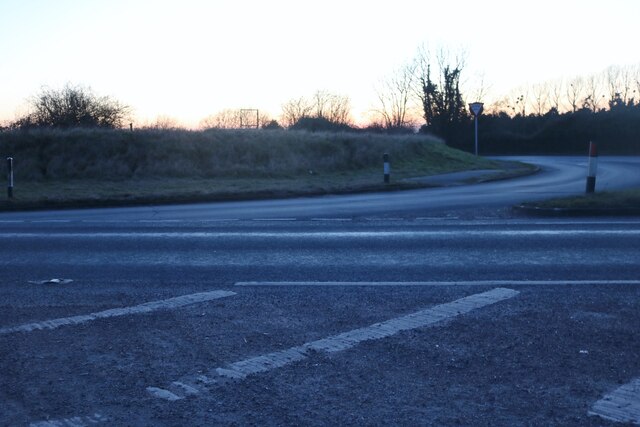
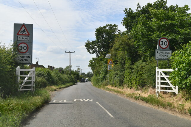
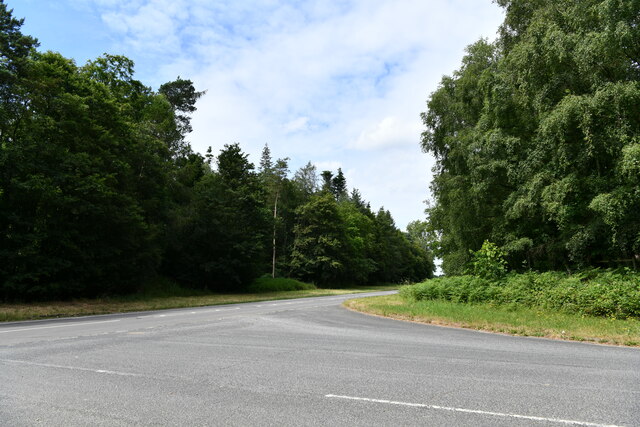
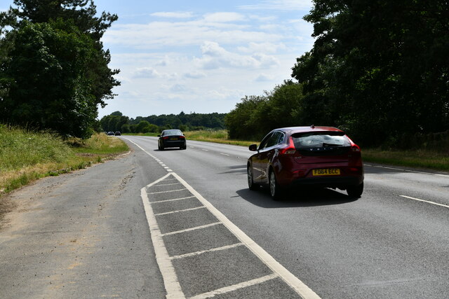
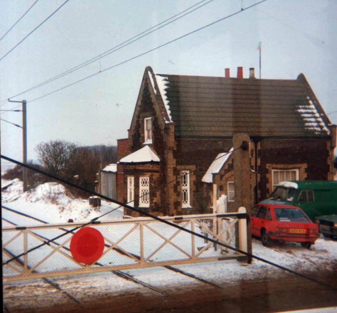
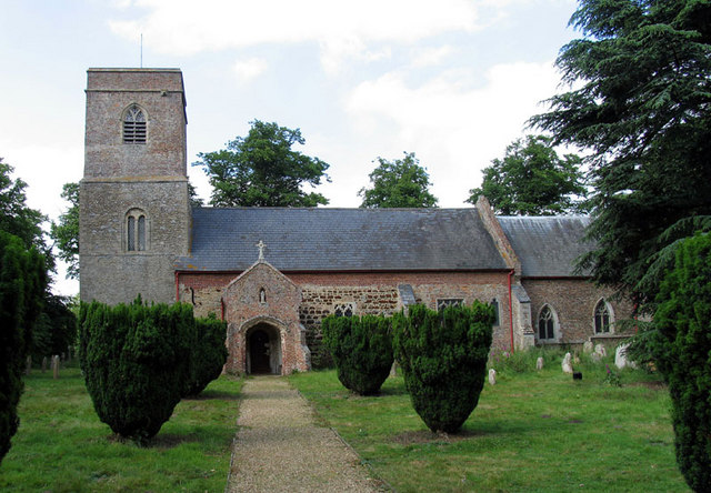
Brick Kiln Plantations Images

Images are sourced within 2km of 52.636357/0.38780253 or Grid Reference TF6106. Thanks to Geograph Open Source API. All images are credited.

Stow Bardolph railway station (site), Norfolk Opened in 1846 as "Stow" by the Lynn & Ely Railway, later part of the Great Eastern Railway, the name was altered to "Stow Bardolph" in 1923. It closed to passengers in 1963 and completely in 1964.
View north towards Holme and Kings Lynn. The two parallel platforms were removed some time after closure but the station house was still extant when this image was taken.
Stow Bardolph railway station (site), Norfolk
Opened in 1846 as "Stow" by the Lynn & Ely Railway, later part of the Great Eastern Railway, the name was altered to "Stow Bardolph" in 1923. It closed to passengers in 1963 and completely in 1964. View north towards Holme and Kings Lynn. The two parallel platforms were removed some time after closure but the station house was still extant when this image was taken.
The A10 at the junction of Lynn Road
Stow Causeway Bridge Across the Relief Channel
Stow Causeway Bridge
Across the Relief Channel
Stow Bridge Across Great Ouse River
Stow Bridge
Across Great Ouse River
Runcton Holme: Entering the village
Runcton Holme: 2, Ffolkes Place
Watlington: Lynn Road/Runcton Road junction
Stow Bardolph: Lynn Road lay-by
Bridge over the Great Ouse
Bridleway by Great Ouse
Mooring point on the Relief Channel
H & C Bearts of Stowbridge You'll find an amazing variety of animal feed, equipment, clothing, etc here
H & C Bearts of Stowbridge
You'll find an amazing variety of animal feed, equipment, clothing, etc here
Epitaph to Sir Thomas Hare A tribute to one of the many Hares to bear that name, from his grieving widow Dame Elizabeth, in the Hare Chapel of Holy Trinity Church at Stow Bardolph.
Epitaph to Sir Thomas Hare
A tribute to one of the many Hares to bear that name, from his grieving widow Dame Elizabeth, in the Hare Chapel of Holy Trinity Church at Stow Bardolph.
Stowbridge Village Hall The village hall has a playing field behind it.
Stowbridge Village Hall
The village hall has a playing field behind it.
Old Milestone Old milestone the A.10 near to South Runction, Norfolk. For overall view see <a title="https://www.geograph.org.uk/photo/2779898" href="https://www.geograph.org.uk/photo/2779898">Link</a>
Old Milestone
Old milestone the A.10 near to South Runction, Norfolk. For overall view see Link
Old Milestone Old milestone the A.10 near to South Runcton, Norfolk. For close up view see <a title="https://www.geograph.org.uk/photo/2779884" href="https://www.geograph.org.uk/photo/2779884">Link</a>
Old Milestone
Old milestone the A.10 near to South Runcton, Norfolk. For close up view see Link
Holy Trinity, Stow Bardolph - Wall Monument To Thomas Hare
Holy Trinity, Stow Bardolph - Wall Monument
To Thomas Hare
Houses on the bank of the Great Ouse
Show me another place!

Brick Kiln Plantations is located at Grid Ref: TF6106 (Lat: 52.636357, Lng: 0.38780253)

Administrative County: Norfolk

District: King's Lynn and West Norfolk

Police Authority: Norfolk

What 3 Words

///crusted.cosmetic.sketching. Near Downham Market, Norfolk

Nearby Locations

Brick Kiln Plantations

Related Wikis

Stow Bardolph railway station

Stow Bardolph railway station, in the parish of Stow Bardolph, Norfolk, served the villages of Stow Bardolph and Stowbridge. It closed in 1963. The Lynn...

Stowbridge

Stowbridge or Stow Bridge is a village in the parish of Stow Bardolph, extending into Wiggenhall St Mary Magdalen, in the English county of Norfolk. The...

Stow Bardolph

Stow Bardolph, sometimes simply referred to as Stow, is an estate and civil parish in the English county of Norfolk, lying between King's Lynn and Downham...

Runcton Holme

Runcton Holme is a village and civil parish in the English county of Norfolk. It covers an area of 13.89 km2 (5.36 sq mi) and had a population of 676 in...

Nearby Amenities

Located within 500m of 52.636357,0.38780253
Bus Shelter, opp
Naptan AtcoCode: 2900S513
Naptan Bearing: N
Naptan BusStopType: CUS
Naptan CommonName: Bus Shelter
Naptan Indicator: opp
Naptan Landmark: Bus Shelter
Naptan Locality: Stowbridge
Naptan NaptanCode: nfodwapj
Naptan Street: The Causeway
Naptan Verified: no
Source: naptan_import
Lat/Long: 52.6361797/0.3810628
Bus Stop
Bus Shelter, adj
Naptan AtcoCode: 2900S516
Naptan Bearing: S
Naptan CommonName: Bus Shelter
Naptan Indicator: adj
Naptan Landmark: Bus Shelter
Naptan Locality: Stowbridge
Naptan NaptanCode: nfodwapw
Naptan Street: The Causeway
Naptan Verified: no
Source: naptan_import
Lat/Long: 52.636177/0.3811957
Waste Basket
Lat/Long: 52.6368207/0.3813337
Bench
Backrest: yes
Colour: brown
Material: wood
Seats: 2
Lat/Long: 52.636815/0.3813551
Stow Bridge
Alt Name: Stowbridge
Colour: grey
Man Made: village_sign
Material: metal
Lat/Long: 52.6368329/0.3813645
Give Way
Lat/Long: 52.6366961/0.3813577
Stowbridge
Alt Name: Stow bridge
Place: village
Wikidata: Q19969320
Wikipedia: en:Stowbridge
Lat/Long: 52.6368415/0.3811682
Power: pole
Lat/Long: 52.6376435/0.3944349
Power: pole
Lat/Long: 52.636312/0.3937107
Power: pole
Lat/Long: 52.6350163/0.3929114
Power: pole
Lat/Long: 52.6336929/0.3921577
The data included in this document is from www.openstreetmap.org. The data is made available under ODbL.

Have you been to Brick Kiln Plantations?

Leave your review of Brick Kiln Plantations below (or comments, questions and feedback).