Hardy's Plantation

Wood, Forest in Essex Epping Forest

England

Hardy's Plantation

Churchyard gate  and path, Berners Roding, Essex This path passes through the overgrown churchyard of All Saints Church. At least it was until it was deconsecrated in 1985. The path goes ahead alongside the buildings of Berners Hall Farm to join the roadway
Churchyard gate and path, Berners Roding, Essex Credit: Derek Voller

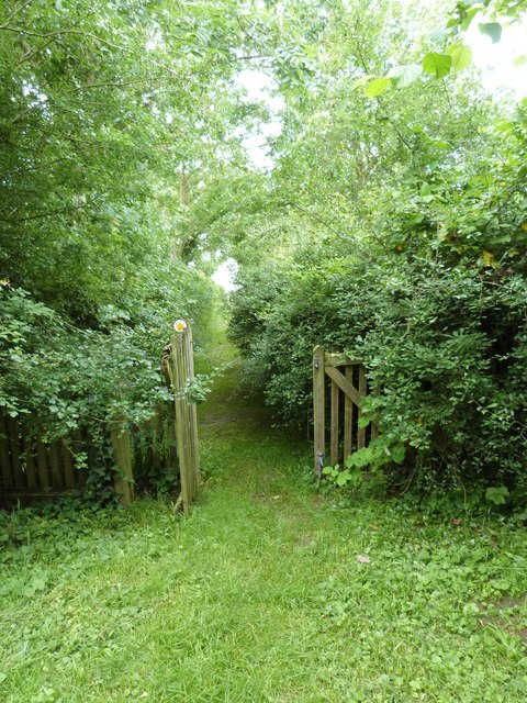
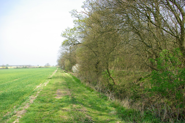
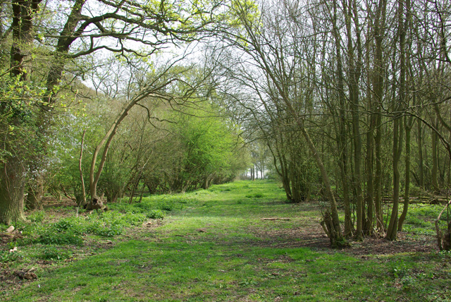
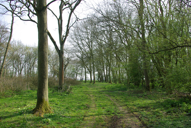
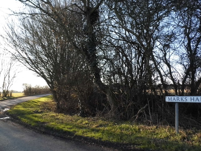
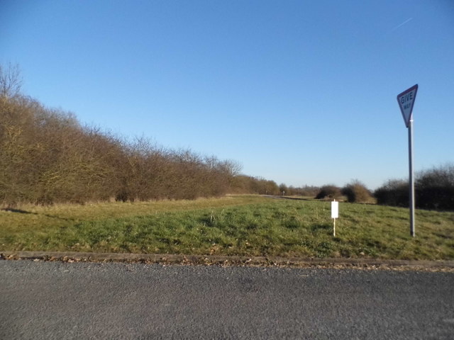
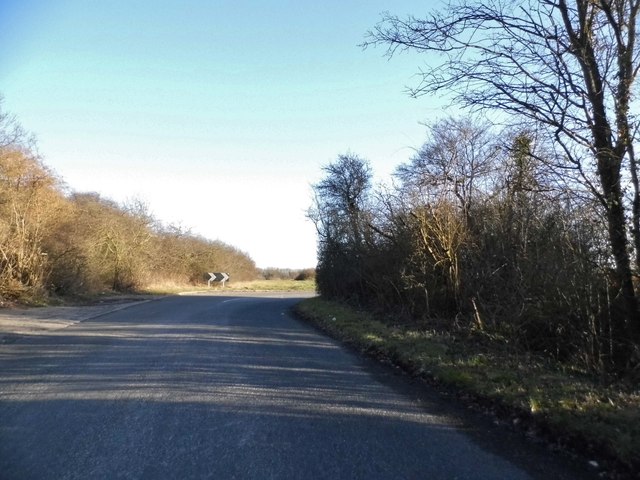
Hardy's Plantation, located in Essex, England, is a picturesque woodland area known for its lush greenery and serene atmosphere. Situated within the larger Forest of Essex, the plantation covers a vast area, offering visitors an opportunity to immerse themselves in the natural beauty of the region.

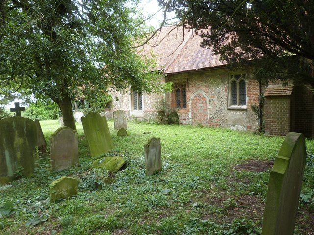
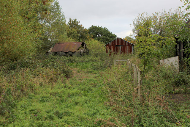
The plantation is home to a diverse range of plant species, including towering oak trees, beech trees, and various types of wildflowers. This rich vegetation provides a habitat for numerous bird species, making it an ideal spot for birdwatching enthusiasts. The tranquil environment also attracts other wildlife, such as rabbits, squirrels, and deer.

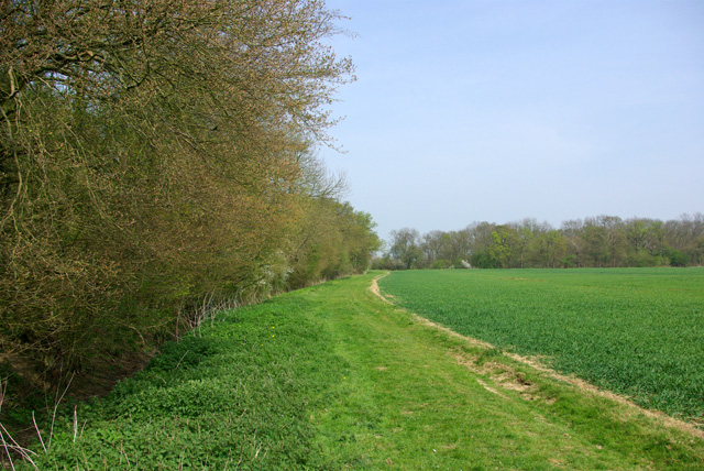
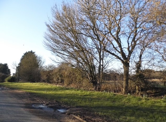
Covered in a dense canopy of trees, Hardy's Plantation provides a refreshing escape from the hustle and bustle of daily life. The plantation offers well-maintained walking trails and footpaths, allowing visitors to explore the area at their leisure. These paths wind through the woodland, leading adventurers to hidden clearings and scenic viewpoints. The plantation also features picnic areas, making it an excellent destination for families and friends to enjoy a day out in nature.

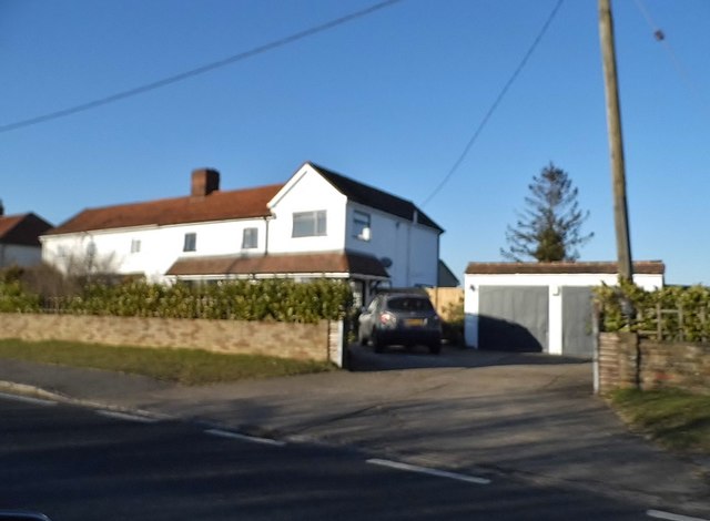
Hardy's Plantation is easily accessible, with ample parking facilities available for visitors. The plantation is open year-round, allowing visitors to appreciate the changing seasons and the vibrant colors they bring. Whether it's a leisurely stroll, a picnic, or wildlife observation, Hardy's Plantation offers a peaceful retreat for nature enthusiasts and those seeking solace in the beauty of the Essex countryside.

If you have any feedback on the listing, please let us know in the comments section below.

Hardy's Plantation Images

Images are sourced within 2km of 51.767623/0.33926452 or Grid Reference TL6110. Thanks to Geograph Open Source API. All images are credited.

Churchyard gate  and path, Berners Roding, Essex This path passes through the overgrown churchyard of All Saints Church. At least it was until it was deconsecrated in 1985. The path goes ahead alongside the buildings of Berners Hall Farm to join the roadway
Churchyard gate and path, Berners Roding, Essex
This path passes through the overgrown churchyard of All Saints Church. At least it was until it was deconsecrated in 1985. The path goes ahead alongside the buildings of Berners Hall Farm to join the roadway
All Saints Church, Berners Roding, Essex Constructed sometime during the 14th century in the tiny hamlet of Berners Roding (or Roothing in some historical references) It is one of nine Anglo Saxon settlements near the River Roding from which they all take their name.  All Saints once had a wooden belfry at its Western end and carried a single bell dated 1594, both now gone. The church fell into disuse probably because of its isolated location and was deconsecrated in 1985. The building is now in a poor structural state and privately owned, but the churchyard is under the care of "Epping Forest Countrycare".  For more information and some excellent interior pictures see <span class="nowrap"><a title="http://www.28dayslater.co.uk/all-saints-chruch-berners-roding-essex.t61284" rel="nofollow ugc noopener" href="http://www.28dayslater.co.uk/all-saints-chruch-berners-roding-essex.t61284">Link</a><img style="margin-left:2px;" alt="External link" title="External link - shift click to open in new window" src="https://s1.geograph.org.uk/img/external.png" width="10" height="10"/></span>
All Saints Church, Berners Roding, Essex
Constructed sometime during the 14th century in the tiny hamlet of Berners Roding (or Roothing in some historical references) It is one of nine Anglo Saxon settlements near the River Roding from which they all take their name. All Saints once had a wooden belfry at its Western end and carried a single bell dated 1594, both now gone. The church fell into disuse probably because of its isolated location and was deconsecrated in 1985. The building is now in a poor structural state and privately owned, but the churchyard is under the care of "Epping Forest Countrycare". For more information and some excellent interior pictures see LinkExternal link
The South wall and Churchyard of All Saints church, Berners Roding, Essex Berners Roding (or Roothing in some historical references) is one of nine Anglo Saxon settlements near the River Roding from which they all take their name. All Saints fell into disuse probably because of its isolated location and was deconsecrated in 1985. It is now privately owned and the churchyard under the care of Epping Forest Countrycare. For more information and some excellent interior pictures see <span class="nowrap"><a title="http://www.28dayslater.co.uk/all-saints-chruch-berners-roding-essex.t61284" rel="nofollow ugc noopener" href="http://www.28dayslater.co.uk/all-saints-chruch-berners-roding-essex.t61284">Link</a><img style="margin-left:2px;" alt="External link" title="External link - shift click to open in new window" src="https://s1.geograph.org.uk/img/external.png" width="10" height="10"/></span>
The South wall and Churchyard of All Saints church, Berners Roding, Essex
Berners Roding (or Roothing in some historical references) is one of nine Anglo Saxon settlements near the River Roding from which they all take their name. All Saints fell into disuse probably because of its isolated location and was deconsecrated in 1985. It is now privately owned and the churchyard under the care of Epping Forest Countrycare. For more information and some excellent interior pictures see LinkExternal link
Badger damage to the graves, All Saints churchyard, Berners Roding, Essex All Saints was the local parish church but was deconsecrated in 1985 and its graves are now apparently looked after by "Epping Forest Countrycare"
Badger damage to the graves, All Saints churchyard, Berners Roding, Essex
All Saints was the local parish church but was deconsecrated in 1985 and its graves are now apparently looked after by "Epping Forest Countrycare"
All Saints Church, Berners Roding, Essex
Path up west side of Berners Wood The wood has public paths all around it, but not through it.
Path up west side of Berners Wood
The wood has public paths all around it, but not through it.
Berners Wood An old wood, although not looking so. It appears, although not extending as far north, on the 1777 map of Chapman and Andre. It looks like coppice.
Berners Wood
An old wood, although not looking so. It appears, although not extending as far north, on the 1777 map of Chapman and Andre. It looks like coppice.
Ride, Berners Wood Extending from one side of the wood to the other.
Ride, Berners Wood
Extending from one side of the wood to the other.
Ride, Berners Wood Extending from one side of the wood to the other.
Ride, Berners Wood
Extending from one side of the wood to the other.
Path up east side of Berners Wood The wood has public paths all around it, but not through it. Beech Wood is to the right.
Path up east side of Berners Wood
The wood has public paths all around it, but not through it. Beech Wood is to the right.
Bolding Hatch Farm Business Centre Clearly an ex farm
Bolding Hatch Farm Business Centre
Clearly an ex farm
Marks Hall Lane, Margaret Roding
Chalk End looking towards the A1060
Chalk End
Chalk End
Barn at Blue House Farm, Four Wantz
House on Chelmsford Road, Four Wantz
Ongar Road, Margaret Roding
Dilapidated Outbuildings at Pincher's Farm, Pepper's Green
Show me another place!

Hardy's Plantation is located at Grid Ref: TL6110 (Lat: 51.767623, Lng: 0.33926452)

Administrative County: Essex

District: Epping Forest

Police Authority: Essex

What 3 Words

///impulsive.hillsides.fewest. Near Writtle, Essex

Related Wikis

Berners Roding

Berners Roding (pronounced Barnish) is a village and former civil parish, now in the parish of Abbess, Beauchamp and Berners Roding and the Epping Forest...

Chalk End

Chalk End is a hamlet in the civil parish of Roxwell and the Chelmsford District of Essex, England. The hamlet is 1.5 miles (2.4 km) northwest from the...

Good Easter

Good Easter is a village and civil parish in the Chelmsford district of Essex, England. The village is 6 miles (10 km) northwest from the city and county...

Margaret Roding

Margaret Roding is a village and civil parish in the Uttlesford district of Essex, England. The village is included in the eight hamlets and villages called...

Nearby Amenities

Located within 500m of 51.767623,0.33926452
Pepper's Green
Place: hamlet
Lat/Long: 51.7693221/0.3449498
The data included in this document is from www.openstreetmap.org. The data is made available under ODbL.

Have you been to Hardy's Plantation?

Leave your review of Hardy's Plantation below (or comments, questions and feedback).