Callis Wood

Wood, Forest in Essex Uttlesford

England

Callis Wood

Road junction near Attridge's Farm Behind me the lane goes to Rands and High Roding, ahead heads off towards The Easters and left goes to Bishop's Green and Barnston.
Road junction near Attridge's Farm Credit: Trevor Harris

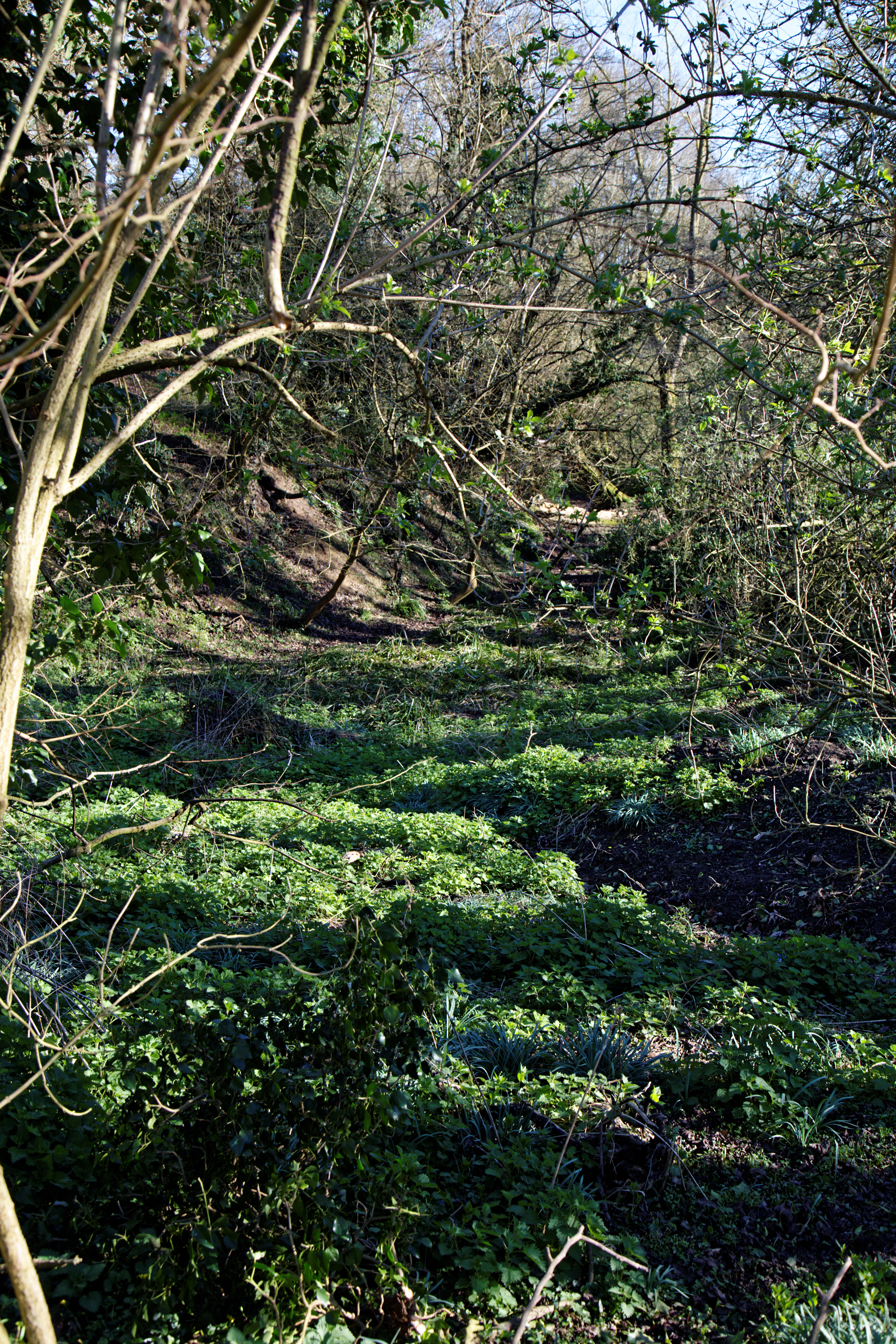
Callis Wood is a beautiful woodland located in Essex, England. Covering an area of approximately 100 acres, it is situated near the village of Woodham Ferrers, just a few miles from the town of Maldon. The wood is known for its diverse range of trees, including oak, ash, beech, and birch, which create a lush and vibrant canopy.

The woodland is a popular destination for nature lovers, walkers, and photographers. Its well-maintained paths and trails make it easily accessible for visitors of all ages. As you explore Callis Wood, you will come across a variety of wildlife, such as deer, squirrels, and a wide array of bird species, making it a haven for birdwatchers.

Callis Wood also holds historical significance. It is believed to have been a hunting ground during medieval times, with remnants of ancient earthworks and ditches still visible today. The wood has been carefully preserved and managed to maintain its natural character and historical value.

Throughout the year, the wood undergoes seasonal changes, showcasing a stunning display of colors in autumn and offering a peaceful retreat during the warmer months. The wood is equipped with picnic areas and benches, allowing visitors to relax and enjoy the tranquil surroundings.

Overall, Callis Wood is a picturesque woodland that offers a blend of natural beauty, wildlife, and historical significance. Whether you are seeking a peaceful stroll, an opportunity to connect with nature, or a chance to immerse yourself in history, this woodland is certainly worth a visit.

If you have any feedback on the listing, please let us know in the comments section below.
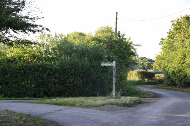
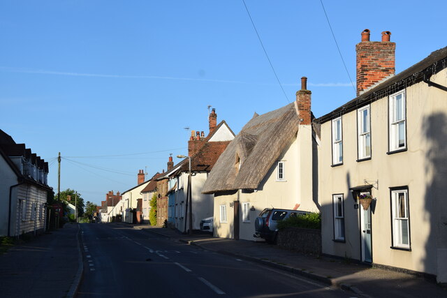
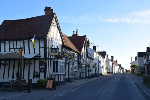
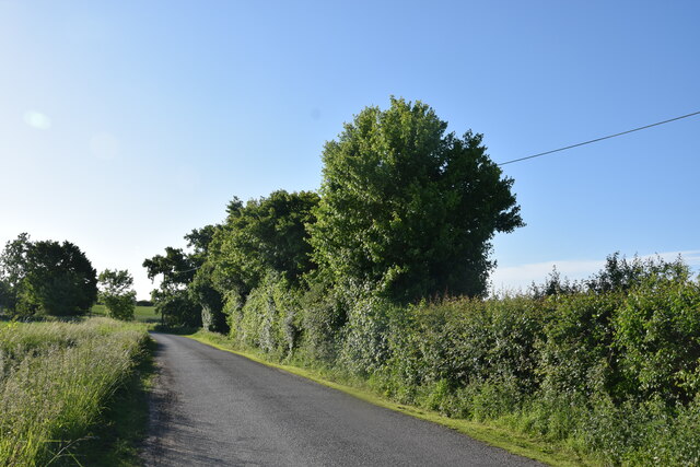
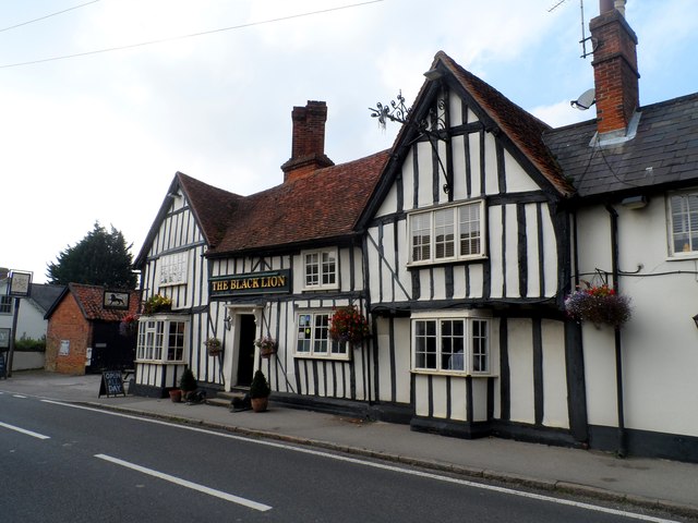
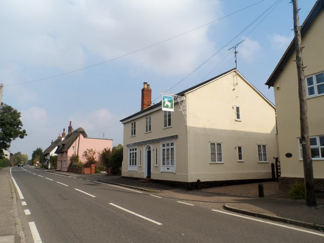
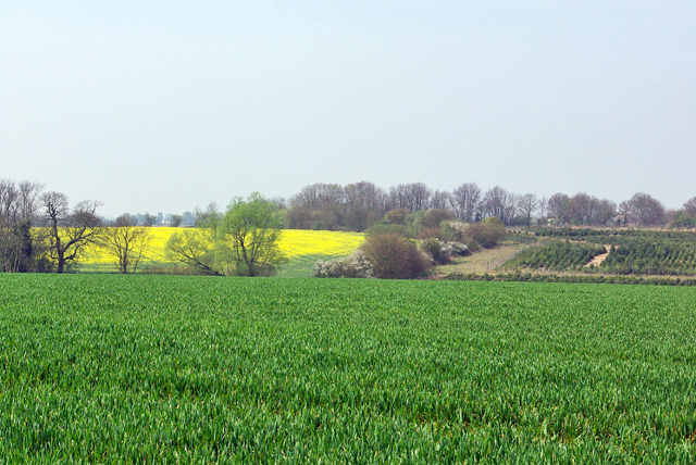
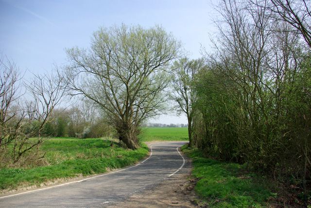
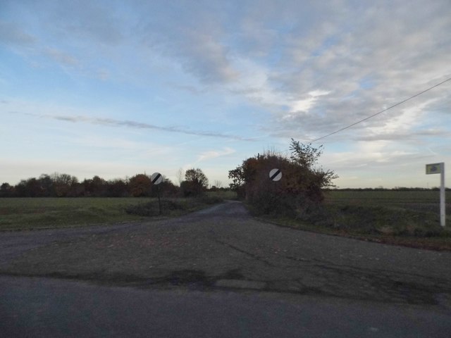
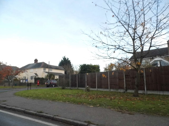
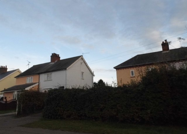
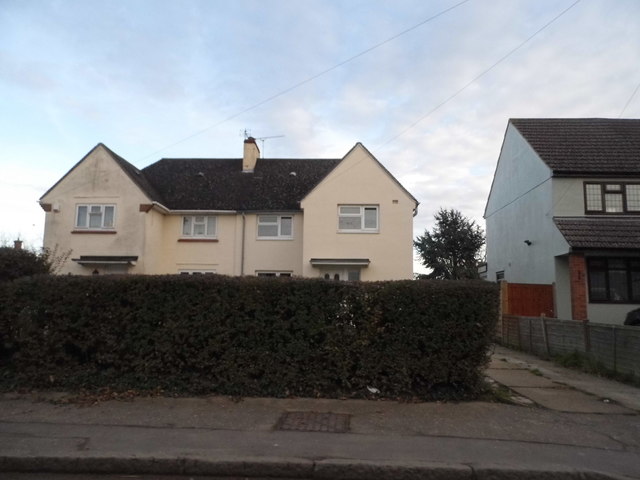
Callis Wood Images

Images are sourced within 2km of 51.817745/0.3417151 or Grid Reference TL6115. Thanks to Geograph Open Source API. All images are credited.

Road junction near Attridge's Farm Behind me the lane goes to Rands and High Roding, ahead heads off towards The Easters and left goes to Bishop's Green and Barnston.
Road junction near Attridge's Farm
Behind me the lane goes to Rands and High Roding, ahead heads off towards The Easters and left goes to Bishop's Green and Barnston.
High Roding A view from he northern end of the village. The early morning sun highlights the little thatched cottage. High Roding is very much a linear settlement with very little development back from The Street - which follows the line of a Roman Road. Some modern development has resulted in some "back streets".
High Roding
A view from he northern end of the village. The early morning sun highlights the little thatched cottage. High Roding is very much a linear settlement with very little development back from The Street - which follows the line of a Roman Road. Some modern development has resulted in some "back streets".
The Black Lion and the view north east along The Street The Black Lion proclaims itself "a Traditional 14th Century Coaching Inn" (no doubt correctly).
The Black Lion and the view north east along The Street
The Black Lion proclaims itself "a Traditional 14th Century Coaching Inn" (no doubt correctly).
Lane to High Trees Farm ....and to the sewage works.
Lane to High Trees Farm
....and to the sewage works.
The Black Lion, High Roding The core of the structure is C15 but with many later additions. See <span class="nowrap"><a title="http://www.britishlistedbuildings.co.uk/en-352755-the-black-lion-public-house-high-roothin#.VhrMn_lViko" rel="nofollow ugc noopener" href="http://www.britishlistedbuildings.co.uk/en-352755-the-black-lion-public-house-high-roothin#.VhrMn_lViko">Link</a><img style="margin-left:2px;" alt="External link" title="External link - shift click to open in new window" src="https://s1.geograph.org.uk/img/external.png" width="10" height="10"/></span> for entry in British Listed Buildings.
The Black Lion, High Roding
The core of the structure is C15 but with many later additions. See LinkExternal link for entry in British Listed Buildings.
Village sign, High Roding
The Old Lamb, High Roding It seems to have been converted to residential use. See <span class="nowrap"><a title="http://www.britishlistedbuildings.co.uk/en-352794-the-old-lamb-public-house-high-roothing-#.VhrOavlViko" rel="nofollow ugc noopener" href="http://www.britishlistedbuildings.co.uk/en-352794-the-old-lamb-public-house-high-roothing-#.VhrOavlViko">Link</a><img style="margin-left:2px;" alt="External link" title="External link - shift click to open in new window" src="https://s1.geograph.org.uk/img/external.png" width="10" height="10"/></span> for entry in British Listed Buildings
The Old Lamb, High Roding
It seems to have been converted to residential use. See LinkExternal link for entry in British Listed Buildings
Behind the hedge A rather indirect lane towards Barnston and Dunmow is on the other side.
Behind the hedge
A rather indirect lane towards Barnston and Dunmow is on the other side.
Across the fields to Dobb's Wood
View west over fields The stream in the valley forms the parish boundary between High Easter and High Roding.
View west over fields
The stream in the valley forms the parish boundary between High Easter and High Roding.
Lane to High Roding, Barnston and Dunmow Depending which way you turn at the next junction.
Lane to High Roding, Barnston and Dunmow
Depending which way you turn at the next junction.
Rands Road The road crosses a small stream here, the parish boundary between High Roding and High Easter.
Rands Road
The road crosses a small stream here, the parish boundary between High Roding and High Easter.
Road junction in High Roding It's a short lane that leads to a farm
Road junction in High Roding
It's a short lane that leads to a farm
Dunmow Road, High Roding
Houses on Dunmow Road, High Roding
Village sign, High Easter
Ploughed field by the Essex Way Looking across the Hayden's Farm
Ploughed field by the Essex Way
Looking across the Hayden's Farm
Show me another place!

Callis Wood is located at Grid Ref: TL6115 (Lat: 51.817745, Lng: 0.3417151)

Administrative County: Essex

District: Uttlesford

Police Authority: Essex

What 3 Words

///shortcuts.chose.fires. Near Great Dunmow, Essex

Nearby Locations

Callis Wood

Related Wikis

High Easter

High Easter is a village and a civil parish in the Uttlesford district of Essex, England. The village is 7 miles (11 km) northwest from the city of and...

High Roding

High Roding is a village and civil parish in the Uttlesford district of Essex, England. The village is included in the eight hamlets and villages called...

Bacon End

Bacon End is a hamlet in the civil parish of Great Canfield, and near Great Canfield Castle, in Essex, England. == References == == External links == mid...

Stagden Cross

Stagden Cross is a hamlet in the civil parish of High Easter, and the Uttlesford district of Essex, England. The hamlet is 1 mile (1.6 km) east from High...

Clatterford End, High Easter

Clatterford End is a hamlet partly in the High Easter civil parish of the Uttlesford district, and partly in the Good Easter parish of the Chelmsford district...

Aythorpe Roding Windmill

Aythorpe Roding Windmill is a Grade II* listed Post mill at Aythorpe Roding, Essex, England which has been restored to working order. == History == Aythorpe...

Bishop's Green, Essex

Bishop's Green is a hamlet in the civil parish of High Easter in the Uttlesford district of Essex, England. The hamlet is on the road between the villages...

Great Canfield Castle

Great Canfield Castle lies in the small village of Great Canfield, 3 miles (5 km) south-west of Great Dunmow in Essex, England: grid reference TL595179...

Related Videos

St Mary St Lawrence Church, High Easter, Essex, 2022

St Mary St Lawrence Church, High Easter, Essex, 2022.

đź“ŤTHE SPOTTED DOG - A FRIENDLY LOCAL PUB WITH OUTSTANDING FOOD in DUNMOW

A friendly local village pub with outstanding food in the heart of Barnston, Dunmow @thespotteddog8 All I can say is this place is ...

Have you been to Callis Wood?

Leave your review of Callis Wood below (or comments, questions and feedback).