Boyton Belt
Wood, Forest in Cambridgeshire East Cambridgeshire
England
Boyton Belt

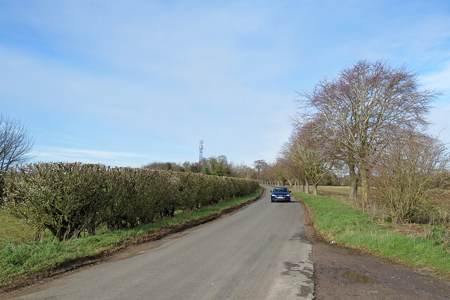
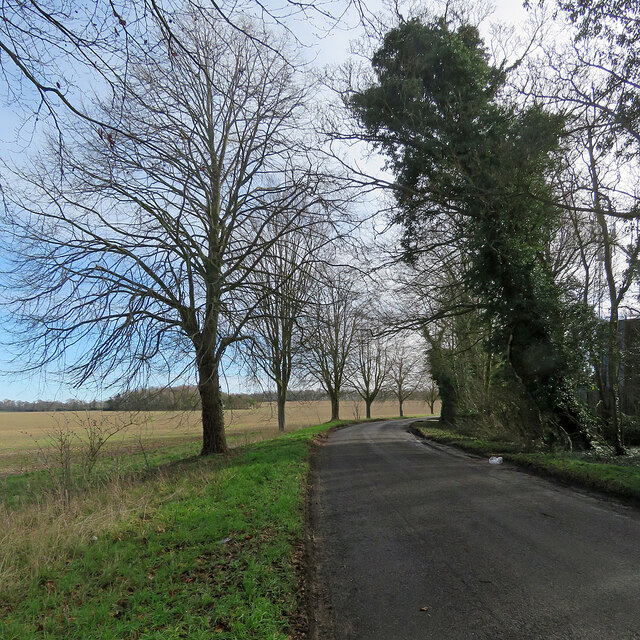
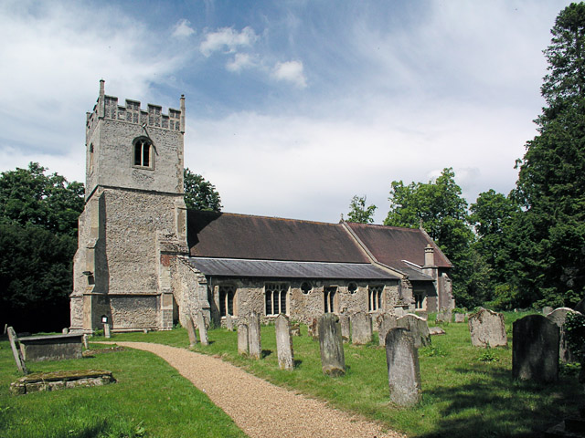
Boyton Belt is a picturesque woodland area located in Cambridgeshire, England. Covering an expansive area, it is a popular destination for nature enthusiasts and outdoor enthusiasts alike. The woodland is characterized by its dense forest cover, consisting primarily of a variety of deciduous and evergreen trees, creating a rich and diverse ecosystem.
The Boyton Belt is home to an array of wildlife, including deer, foxes, badgers, and a wide range of bird species. Its natural beauty and tranquility make it a haven for birdwatchers and wildlife photographers. The woodland boasts several well-maintained walking trails, allowing visitors to explore the area and immerse themselves in the peaceful surroundings.
The wood is also known for its historical significance. It has been a part of the local landscape for centuries and has witnessed various human activities over the years. Remnants of old structures, such as ruins and ancient boundaries, can still be found scattered throughout the woodland, providing glimpses into its past.
In addition to its natural and historical attractions, the Boyton Belt offers recreational activities for visitors. There are designated picnic areas and camping spots for those who wish to spend more time in the area. The wood is also popular for orienteering and nature education programs, providing opportunities for people of all ages to learn and engage with the environment.
Overall, Boyton Belt in Cambridgeshire is a captivating woodland area that offers a peaceful retreat for nature lovers and a rich tapestry of history and wildlife for all who visit.
If you have any feedback on the listing, please let us know in the comments section below.
Boyton Belt Images
Images are sourced within 2km of 52.205903/0.3612549 or Grid Reference TL6159. Thanks to Geograph Open Source API. All images are credited.


Boyton Belt is located at Grid Ref: TL6159 (Lat: 52.205903, Lng: 0.3612549)
Administrative County: Cambridgeshire
District: East Cambridgeshire
Police Authority: Cambridgeshire
What 3 Words
///match.investor.scorecard. Near Newmarket, Suffolk
Nearby Locations
Related Wikis

Dullingham railway station
Dullingham is a railway station that serves the village of Dullingham in Cambridgeshire, England. It is about 1 mile (1.6 km) north-west of the centre...
Dullingham
Dullingham is a small village and civil parish in East Cambridgeshire, England. It is situated 4 miles (6 km) south of Newmarket and 14 miles (23 km) east...
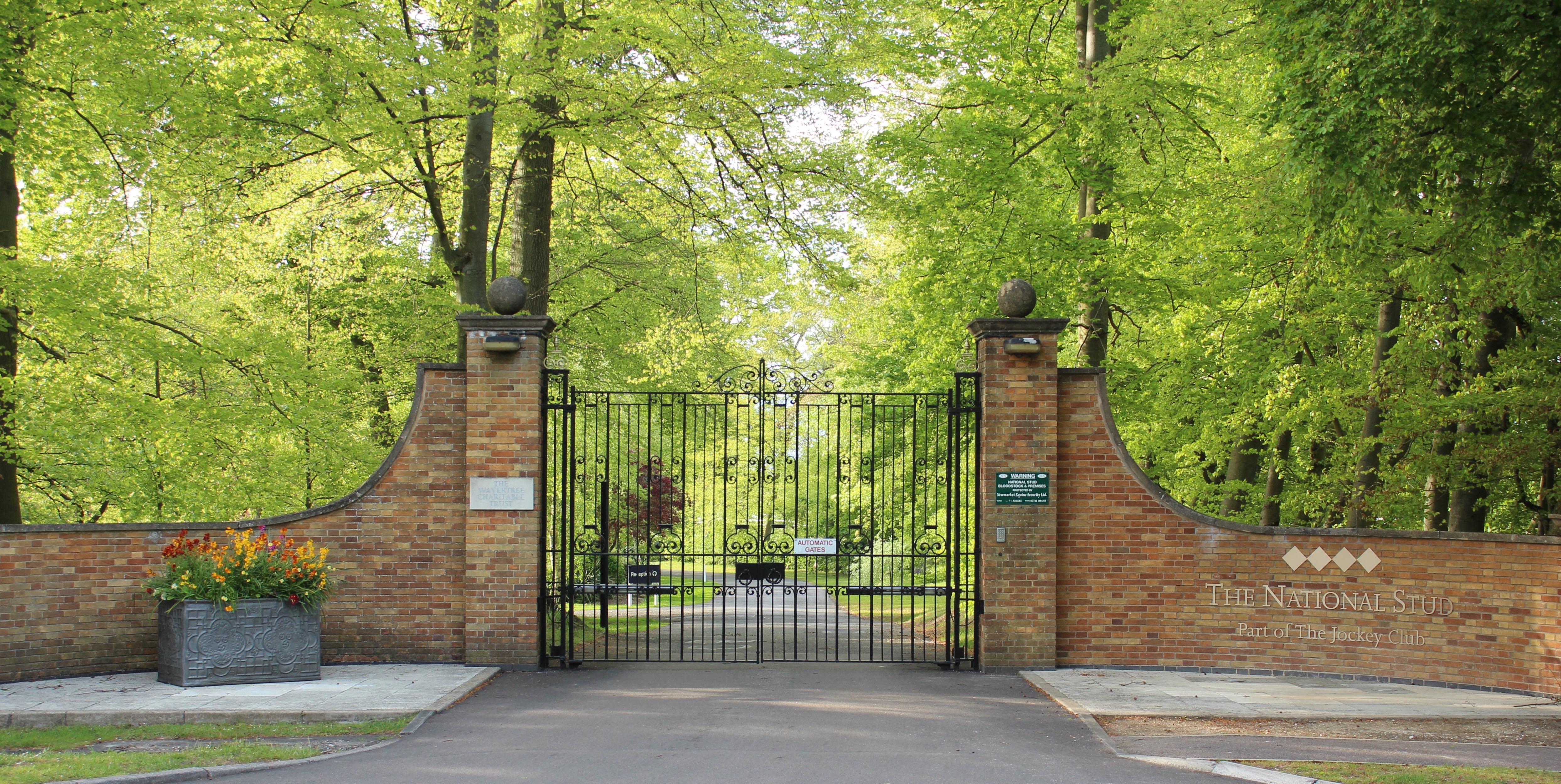
The National Stud
The National Stud is a United Kingdom Thoroughbred horse breeding farm located two miles from Newmarket. The Stud originated in 1916 as a result of a gift...
Stetchworth
Stetchworth is a small village and civil parish in East Cambridgeshire, England, 3 miles (5 km) to the south of the horse-racing centre of Newmarket and...

Westley Waterless
Westley Waterless is a small village and civil parish in East Cambridgeshire, England, 5 miles south west of Newmarket. == History == The parish of Westley...

Devil's Dyke, Cambridgeshire
Devil's Dyke or Devil's Ditch is a linear earthen barrier, thought to be of Anglo-Saxon origin, in eastern Cambridgeshire and Suffolk. It runs for 11 kilometres...

RAF Newmarket
RAF Newmarket was a Royal Air Force station located near Newmarket, Suffolk, England, near the border with Cambridgeshire. It was opened in 1939 and closed...

Newmarket Heath
Newmarket Heath is a 279.3-hectare-large (690-acre) biological Site of Special Scientific Interest in Newmarket in Suffolk. It covers most of Newmarket...
Related Videos
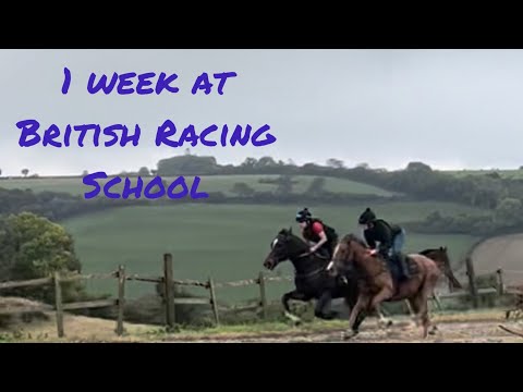
1 week at British racing school in new market.
I signed up for the transition to racing course in new market at British racing school. It was amazing I learnt so much there.
Nearby Amenities
Located within 500m of 52.205903,0.3612549Have you been to Boyton Belt?
Leave your review of Boyton Belt below (or comments, questions and feedback).