Bush Wood
Wood, Forest in Essex Uttlesford
England
Bush Wood
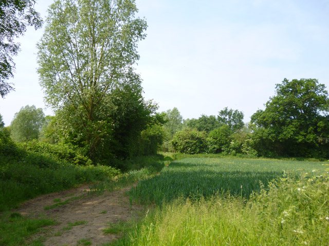
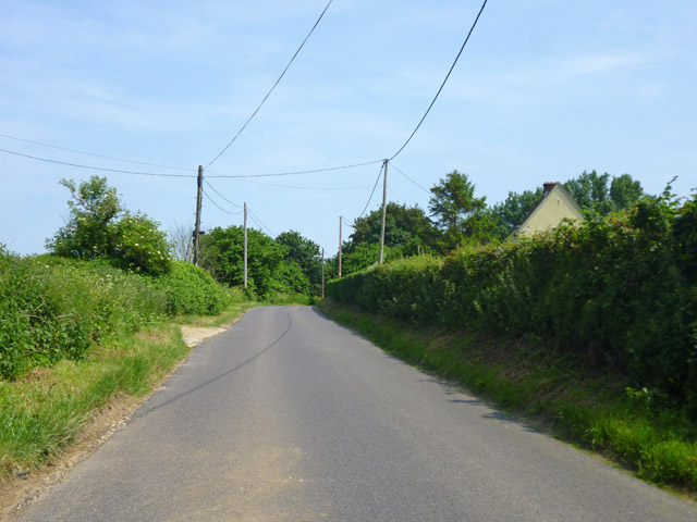
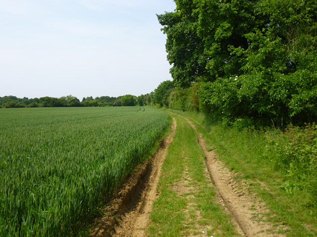
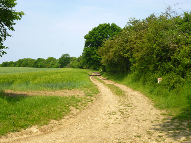
Bush Wood is a picturesque woodland located in the county of Essex, England. Situated in the district of Brentwood, this charming forest covers an area of approximately 89 hectares. It is a popular destination for nature enthusiasts, families, and dog walkers, offering a tranquil and serene atmosphere.
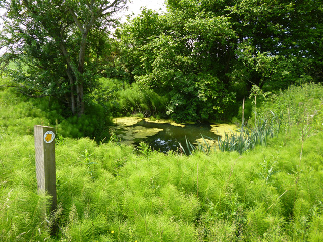
The wood is predominantly made up of native trees such as oak, birch, and hornbeam, creating a diverse and vibrant woodland ecosystem. The dense canopy provides a shady retreat during the summer months, making it an ideal spot for picnics and leisurely walks. The forest floor is adorned with a variety of wildflowers, adding bursts of color to the landscape.
Bush Wood also boasts several walking trails, allowing visitors to explore its beauty at their own pace. The pathways are well-maintained, making it accessible to people of all ages and abilities. Along the trails, there are information boards providing details about the local wildlife and the history of the wood, offering an educational aspect to the visit.
The wood is home to a range of wildlife, including deer, foxes, and a wide variety of bird species. Birdwatchers can spot woodpeckers, nuthatches, and blue tits among the tree branches. The wood also contains several natural ponds, attracting frogs, newts, and dragonflies.
Overall, Bush Wood is a charming and peaceful woodland, offering a delightful escape from the hustle and bustle of city life. It is a cherished natural treasure in Essex, providing a haven for both wildlife and humans alike.
If you have any feedback on the listing, please let us know in the comments section below.
Bush Wood Images
Images are sourced within 2km of 51.895297/0.34401634 or Grid Reference TL6124. Thanks to Geograph Open Source API. All images are credited.


Bush Wood is located at Grid Ref: TL6124 (Lat: 51.895297, Lng: 0.34401634)
Administrative County: Essex
District: Uttlesford
Police Authority: Essex
What 3 Words
///late.classmate.skills. Near Great Dunmow, Essex
Nearby Locations
Related Wikis
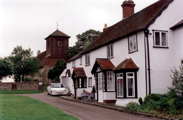
Little Easton
Little Easton is a village and civil parish in Essex, England. The village is situated approximately 7 miles (11 km) east from the town of Bishop's Stortford...
Great Easton, Essex
Great Easton is a village and civil parish in the Uttlesford district in Essex, England.Great Easton village is about 2 miles (3.2 km) north of Great Dunmow...

Helena Romanes School
Helena Romanes School (also known/abbreviated as HRS) is a coeducational all-through school and sixth form. It is situated in Great Dunmow in the English...

Easton Lodge
Easton Lodge was a Victorian Gothic style stately home in Little Easton and north-west of Great Dunmow, Essex, England. Once famous for its weekend society...

Tilty
Tilty or Tylsey is a village and a civil parish in the Uttlesford district, in the county of Essex, England. In 2001 the population of the civil parish...

Talliston House
Talliston House & Gardens is an ex-council house in Essex, England that has been transformed by owner John Trevillian into a miniature palace. The house...

Tilty Abbey
Tilty Abbey was a Cistercian abbey in Tilty, Essex, England. It was dissolved 3 March 1536. The chapel, with a nave built circa 1220, became a parish church...
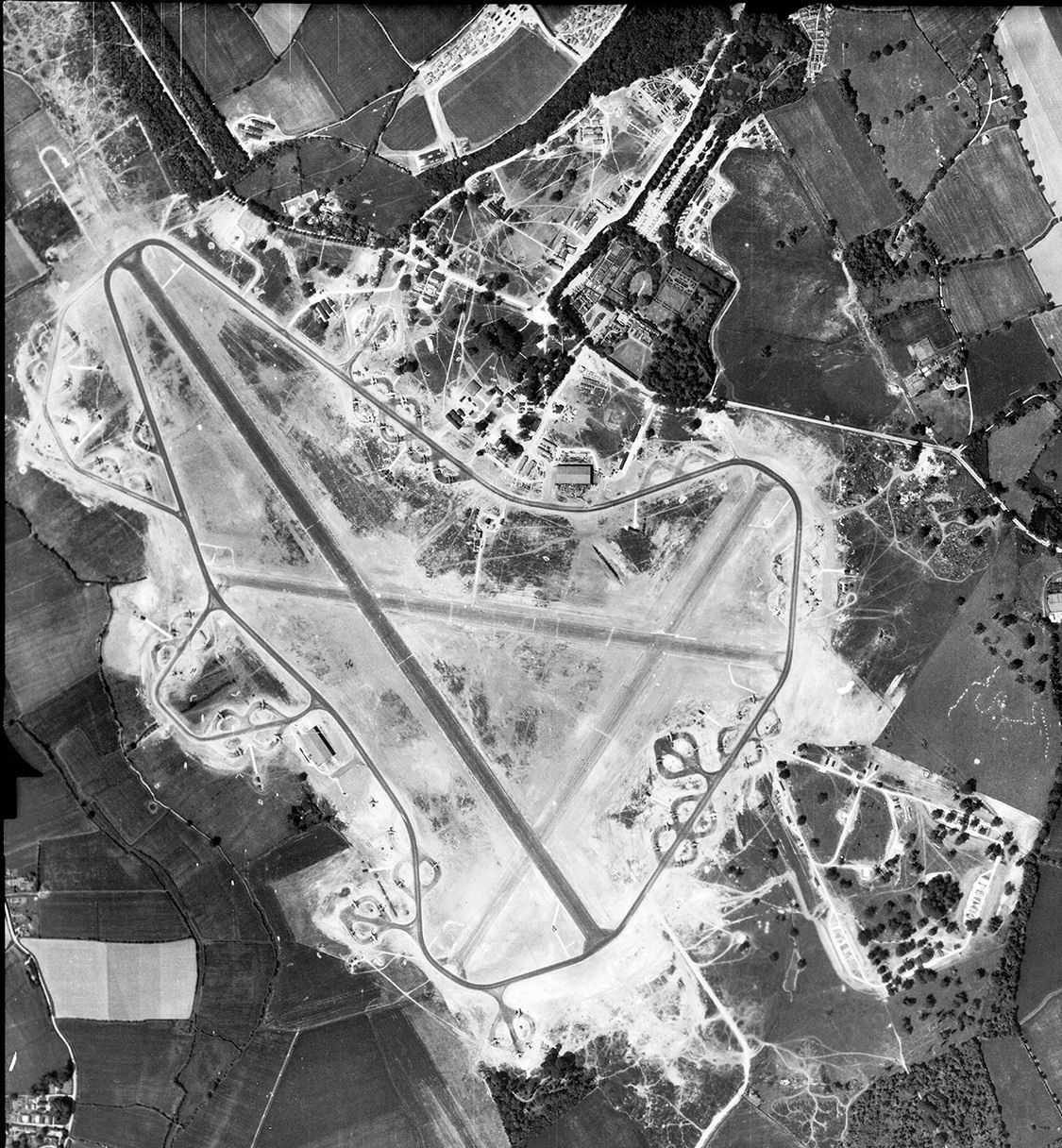
RAF Great Dunmow
Royal Air Force Great Dunmow or more simply RAF Great Dunmow is a former Royal Air Force station in the parish of Little Easton, Essex, England. The airfield...
Nearby Amenities
Located within 500m of 51.895297,0.34401634Have you been to Bush Wood?
Leave your review of Bush Wood below (or comments, questions and feedback).