Gravelpit Plantation

Wood, Forest in Norfolk King's Lynn and West Norfolk

England

Gravelpit Plantation

Stow Bardolph railway station (site), Norfolk Opened in 1846 as "Stow" by the Lynn & Ely Railway, later part of the Great Eastern Railway, the name was altered to "Stow Bardolph" in 1923. It closed to passengers in 1963 and completely in 1964.
View north towards Holme and Kings Lynn. The two parallel platforms were removed some time after closure but the station house was still extant when this image was taken.
Stow Bardolph railway station (site), Norfolk Credit: Nigel Thompson

Gravelpit Plantation is a historic and picturesque woodland located in Norfolk, England. Spread across a vast expanse, it is renowned for its diverse range of flora and fauna, making it a popular destination for nature enthusiasts and hikers alike.

The plantation is primarily composed of woodlands and forests, offering visitors an immersive experience in the heart of nature. The lush greenery is dominated by a variety of deciduous and evergreen trees, including oak, beech, birch, and pine. These trees provide a rich habitat for numerous bird species, such as woodpeckers, owls, and finches, making it an ideal spot for birdwatchers.

Traversing through Gravelpit Plantation, visitors can explore a network of well-maintained walking trails that wind their way through the enchanting woods. These trails provide opportunities for leisurely walks, jogging, or simply enjoying the tranquility of the surroundings. Along the paths, visitors can discover vibrant wildflowers, ferns, and mosses, adding splashes of color to the verdant landscape.

The plantation is also home to a diverse range of wildlife. Squirrels, rabbits, and foxes can often be spotted darting amongst the foliage, while butterflies and bees flit from flower to flower. The plantation's ecosystem is carefully preserved, ensuring a harmonious coexistence between humans and nature.

Gravelpit Plantation is open year-round and offers amenities such as picnic areas, benches, and parking facilities. Its serene atmosphere, coupled with its rich biodiversity, makes it a cherished natural gem in the Norfolk region, attracting visitors from near and far who seek solace and connection with the great outdoors.

If you have any feedback on the listing, please let us know in the comments section below.

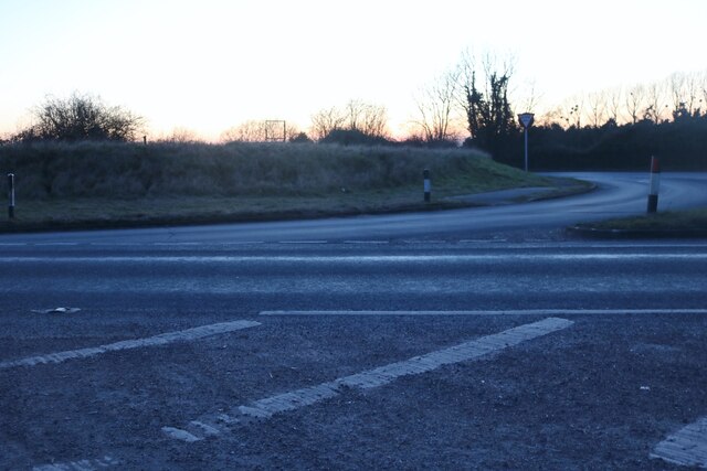
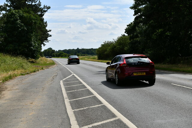
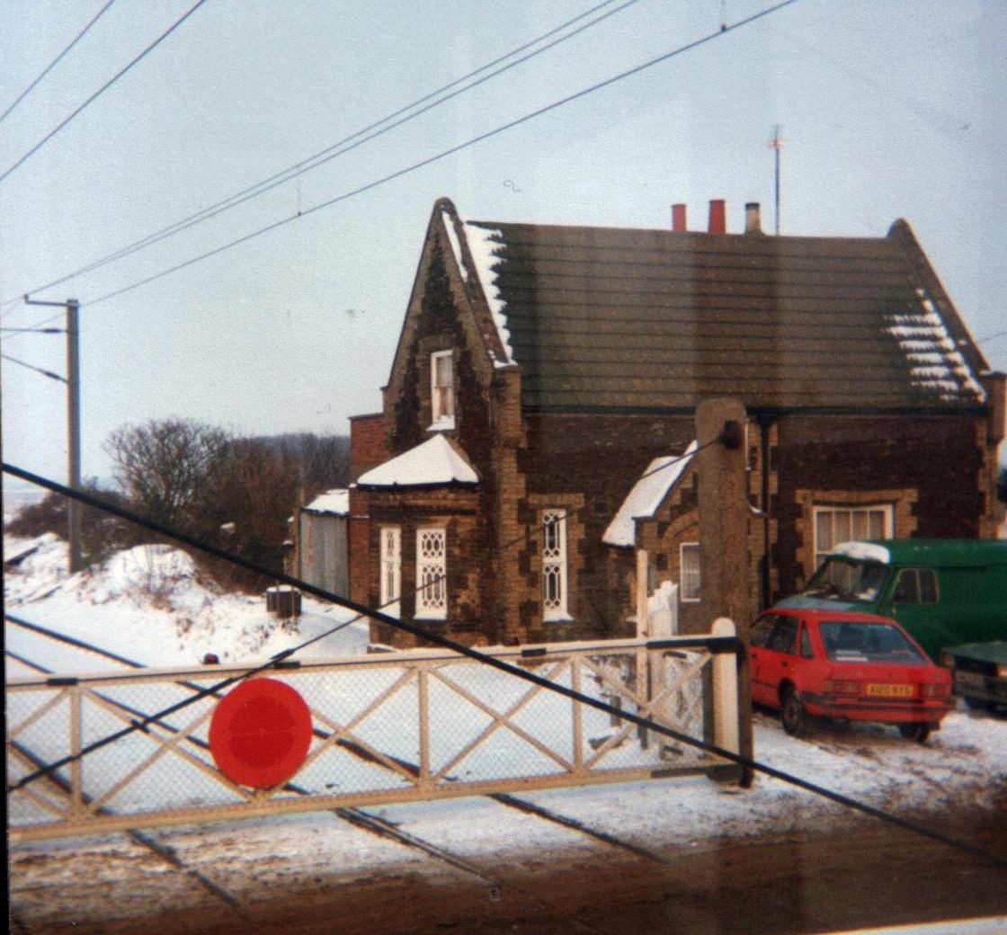
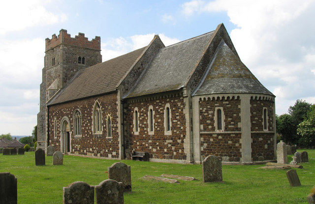
Gravelpit Plantation Images

Images are sourced within 2km of 52.626763/0.38064537 or Grid Reference TF6105. Thanks to Geograph Open Source API. All images are credited.

Stow Bardolph railway station (site), Norfolk Opened in 1846 as "Stow" by the Lynn & Ely Railway, later part of the Great Eastern Railway, the name was altered to "Stow Bardolph" in 1923. It closed to passengers in 1963 and completely in 1964.
View north towards Holme and Kings Lynn. The two parallel platforms were removed some time after closure but the station house was still extant when this image was taken.
Stow Bardolph railway station (site), Norfolk
Opened in 1846 as "Stow" by the Lynn & Ely Railway, later part of the Great Eastern Railway, the name was altered to "Stow Bardolph" in 1923. It closed to passengers in 1963 and completely in 1964. View north towards Holme and Kings Lynn. The two parallel platforms were removed some time after closure but the station house was still extant when this image was taken.
The A10 at the junction of Lynn Road
The A10, Wimbotsham
The A10, Wimbotsham
Layby on the A10, Wimbotsham
Stow Causeway Bridge Across the Relief Channel
Stow Causeway Bridge
Across the Relief Channel
Stow Bridge Across Great Ouse River
Stow Bridge
Across Great Ouse River
Stow Bardolph: Lynn Road lay-by
Bridge over the Great Ouse
Bridleway by Great Ouse
Mooring point on the Relief Channel
Wiggle in Ward’s Chase Not all roads in the fens are dead straight.  This one is still raised above the surrounding fields, though.
Wiggle in Ward’s Chase
Not all roads in the fens are dead straight. This one is still raised above the surrounding fields, though.
Track at Ward's Chase Looking south-westward.
Track at Ward's Chase
Looking south-westward.
Ordnance Survey Flush Bracket 10565 This can be found on the wall of a Water Works building at Ward's Chase.
For more detail see : <span class="nowrap"><a title="http://www.bench-marks.org.uk/bm22434" rel="nofollow ugc noopener" href="http://www.bench-marks.org.uk/bm22434">Link</a><img style="margin-left:2px;" alt="External link" title="External link - shift click to open in new window" src="https://s1.geograph.org.uk/img/external.png" width="10" height="10"/></span>
Ordnance Survey Flush Bracket 10565
This can be found on the wall of a Water Works building at Ward's Chase. For more detail see : LinkExternal link
Common Lode By Cuckoo Road.
Common Lode
By Cuckoo Road.
Cuckoo Road past Common Lode Farm
Horse paddock and cut grass
Pumping station near River Great Ouse
Downham Market Fen Looking down from the bank of the Great Ouse.
Downham Market Fen
Looking down from the bank of the Great Ouse.
Show me another place!

Gravelpit Plantation is located at Grid Ref: TF6105 (Lat: 52.626763, Lng: 0.38064537)

Administrative County: Norfolk

District: King's Lynn and West Norfolk

Police Authority: Norfolk

What 3 Words

///brittle.weedy.firework. Near Downham Market, Norfolk

Related Wikis

Stow Bardolph railway station

Stow Bardolph railway station, in the parish of Stow Bardolph, Norfolk, served the villages of Stow Bardolph and Stowbridge. It closed in 1963. The Lynn...

Wimbotsham

Wimbotsham is a village and civil parish in the English county of Norfolk. It is situated close to the River Great Ouse, 2 km (1.2 mi) north of the town...

Stow Bardolph

Stow Bardolph, sometimes simply referred to as Stow, is an estate and civil parish in the English county of Norfolk, lying between King's Lynn and Downham...

Downham Town F.C.

Downham Town Football Club is a football club based in Downham Market, Norfolk, England. Affiliated to the Norfolk County Football Association, they are...

Nearby Amenities

Located within 500m of 52.626763,0.38064537
Bus Stop
Layby, adj
Naptan AtcoCode: 2900W324
Naptan Bearing: NW
Naptan CommonName: Layby
Naptan Indicator: adj
Naptan Landmark: layby
Naptan Locality: Wimbotsham
Naptan NaptanCode: nfogdpgp
Naptan Street: West Way
Naptan Verified: no
Source: naptan_import
Lat/Long: 52.6233767/0.3836626
Layby, opp
Naptan AtcoCode: 2900W325
Naptan Bearing: SE
Naptan BusStopType: CUS
Naptan CommonName: Layby
Naptan Indicator: opp
Naptan Landmark: layby
Naptan Locality: Wimbotsham
Naptan NaptanCode: nfogdpgt
Naptan Street: West Way
Naptan Verified: no
Source: naptan_import
Lat/Long: 52.623465/0.3837413
Power: pole
Lat/Long: 52.624266/0.386306
Power: pole
Lat/Long: 52.6255766/0.3871719
Fixme: Restricted_Byway continues SSW
Lat/Long: 52.6285011/0.3750309
Power: pole
Lat/Long: 52.6277207/0.3739066
Power: pole
Lat/Long: 52.6270654/0.3734976
Power: pole
Lat/Long: 52.6291102/0.3747274
The data included in this document is from www.openstreetmap.org. The data is made available under ODbL.

Have you been to Gravelpit Plantation?

Leave your review of Gravelpit Plantation below (or comments, questions and feedback).