Bow Croft Wood

Wood, Forest in Essex Uttlesford

England

Bow Croft Wood

Margaret Street car park and public convenience, Thaxted Free parking and free toilets in this attractive town.
Margaret Street car park and public convenience, Thaxted Credit: Tim Heaton

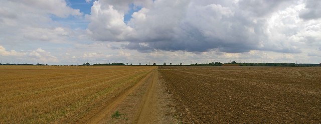
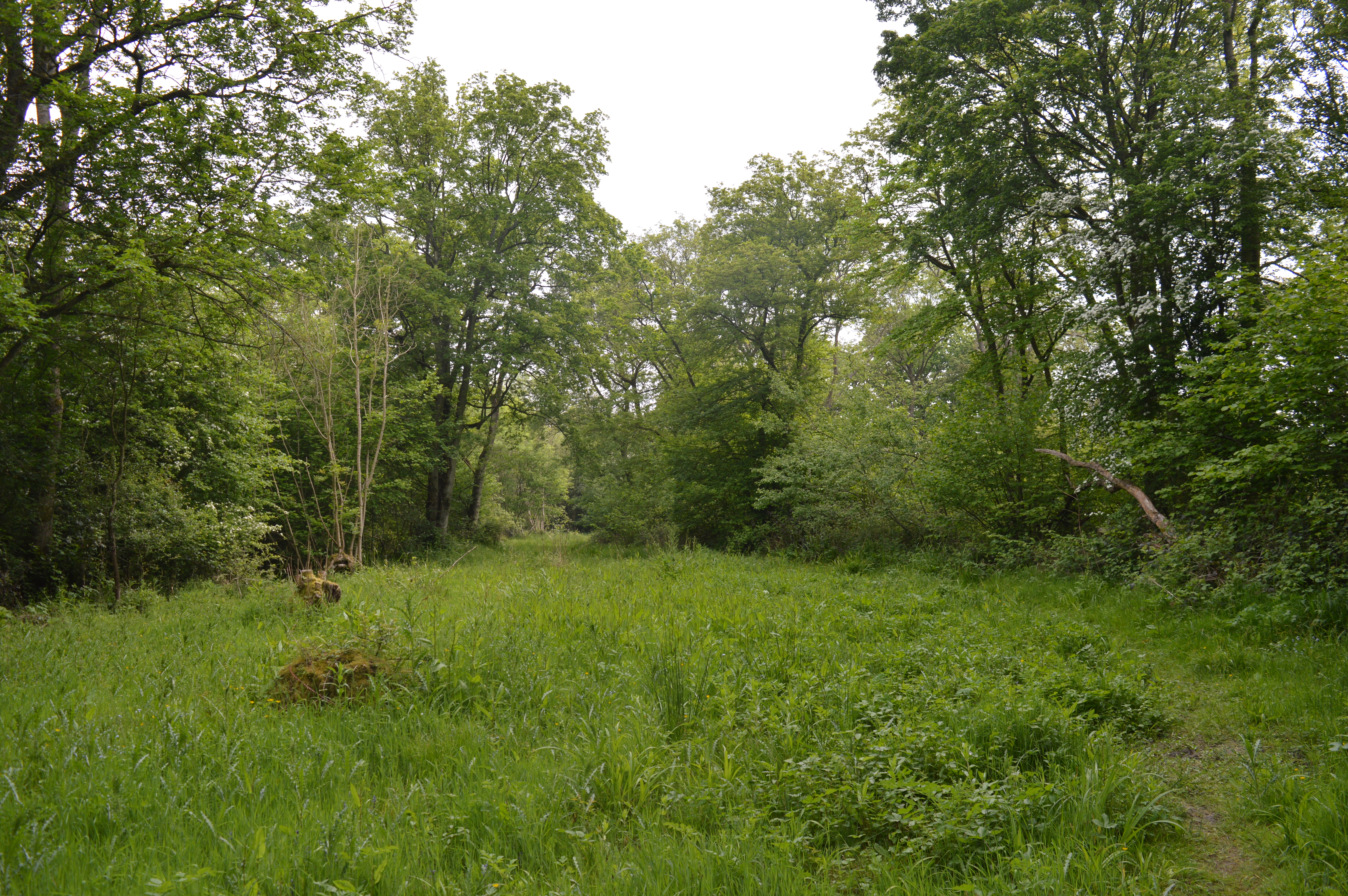
Bow Croft Wood is a picturesque woodland located in the county of Essex, England. Situated near the small village of Bow Croft, the wood covers an area of approximately 100 acres and is a popular destination for nature enthusiasts and local residents alike.

This ancient woodland is predominantly made up of native broadleaf trees, including oak, beech, and birch, which create a diverse and vibrant ecosystem. The canopy of the forest provides a shady and cool environment, making it an ideal spot for a leisurely walk or a peaceful picnic on a sunny day.

Bow Croft Wood is home to a variety of wildlife species, including birds, mammals, and insects. Visitors may catch a glimpse of woodland birds such as woodpeckers, owls, and warblers, while lucky observers may even spot a deer or a fox roaming through the undergrowth. The forest floor is adorned with a colorful carpet of wildflowers and ferns, adding to the natural beauty of the wood.

The wood is crisscrossed by a network of well-maintained footpaths, providing visitors with the opportunity to explore the area and discover its hidden gems. These paths lead to several viewpoints, offering stunning vistas of the surrounding countryside and allowing visitors to fully appreciate the tranquility and beauty of Bow Croft Wood.

Overall, Bow Croft Wood is a haven of peace and tranquility, offering visitors the chance to reconnect with nature and enjoy the beauty of an ancient woodland. Whether for a leisurely stroll or a moment of solitude, this woodland is a true gem in the heart of Essex.

If you have any feedback on the listing, please let us know in the comments section below.

Bow Croft Wood Images

Images are sourced within 2km of 51.973688/0.34526708 or Grid Reference TL6133. Thanks to Geograph Open Source API. All images are credited.

Margaret Street car park and public convenience, Thaxted Free parking and free toilets in this attractive town.
Margaret Street car park and public convenience, Thaxted
Free parking and free toilets in this attractive town.
The Harcamlow Way north of Thaxted About to cross a footbridge over the River Chelmer  - here, in its upper reaches, a small stream.
The Harcamlow Way north of Thaxted
About to cross a footbridge over the River Chelmer - here, in its upper reaches, a small stream.
Thaxted Cottages Cottages showing typical Essex pargetting
Thaxted Cottages
Cottages showing typical Essex pargetting
Track north east of Thaxted
Great Stampford Aerodrome This bridle path crosses the former Great Stampford Aerodrome. You can see from the picture why this level ground was chosen for an airfield. The runways were made from prefabricated metal tracking so there is no evidence of them now, although the perimeter track is still largely extant. The field was intended as a satellite to RAF Debden but after less than a year's operations Debden was reassigned to the USAAF. The site was then used by the RAF regiment as a training base until 1944. To go to the next field in an alphabetical tour of Essex WW2 airfields click on <a href="https://www.geograph.org.uk/photo/38560">TQ5384 : Swords into Ploughshares</a>. Much information was gleaned from Graham Smith’s book “Essex Airfields In The Second World War”. <span class="nowrap"><a title="https://books.google.co.uk/books/about/Essex_Airfields_in_the_Second_World_War.html?id=u3atAAAACAAJ&redir_esc=y" rel="nofollow ugc noopener" href="https://books.google.co.uk/books/about/Essex_Airfields_in_the_Second_World_War.html?id=u3atAAAACAAJ&redir_esc=y">Link</a><img style="margin-left:2px;" alt="External link" title="External link - shift click to open in new window" src="https://s1.geograph.org.uk/img/external.png" width="10" height="10"/></span>
Great Stampford Aerodrome
This bridle path crosses the former Great Stampford Aerodrome. You can see from the picture why this level ground was chosen for an airfield. The runways were made from prefabricated metal tracking so there is no evidence of them now, although the perimeter track is still largely extant. The field was intended as a satellite to RAF Debden but after less than a year's operations Debden was reassigned to the USAAF. The site was then used by the RAF regiment as a training base until 1944. To go to the next field in an alphabetical tour of Essex WW2 airfields click on TQ5384 : Swords into Ploughshares. Much information was gleaned from Graham Smith’s book “Essex Airfields In The Second World War”. LinkExternal link
Yardley Bees This apiary is in a field at the junction of the B184 with the road to Yardley Hall
Yardley Bees
This apiary is in a field at the junction of the B184 with the road to Yardley Hall
Footpath to Yardley Hall This footpath runs from the B184 to Yardley Hall
Footpath to Yardley Hall
This footpath runs from the B184 to Yardley Hall
Road Farm, near Great Sampford, Essex The road is the B.1051
Road Farm, near Great Sampford, Essex
The road is the B.1051
The farmhouse at Dove House Farm
Howletts Farmhouse
Howletts Farmhouse
Farm buildings at Hewletts Farm
Footpath and signpost (part of Turpin's Trail).
Information board for West Wood Situated at the start of the footpath (part of the Turpin Trail) leading to West Wood which is a Site of Special Scientific Interest.
Information board for West Wood
Situated at the start of the footpath (part of the Turpin Trail) leading to West Wood which is a Site of Special Scientific Interest.
Barn conversion. This barn has been converted into semi-detached homes.
Barn conversion.
This barn has been converted into semi-detached homes.
Tile Hall Farmhouse
Tile Hall Farmhouse
Tile Hall farm buildings
Disused house and derelict barn
Road sign Boynton End consists of just a few houses
Road sign
Boynton End consists of just a few houses
Show me another place!

Bow Croft Wood is located at Grid Ref: TL6133 (Lat: 51.973688, Lng: 0.34526708)

Administrative County: Essex

District: Uttlesford

Police Authority: Essex

What 3 Words

///sweetener.reverses.suspends. Near Thaxted, Essex

Nearby Locations

Bow Croft Wood

Related Wikis

West Wood, Little Sampford

West Wood is a 23.6 hectares (58 acres) biological Site of Special Scientific Interest in Little Sampford, north of Thaxted in northwestern Essex. It is...
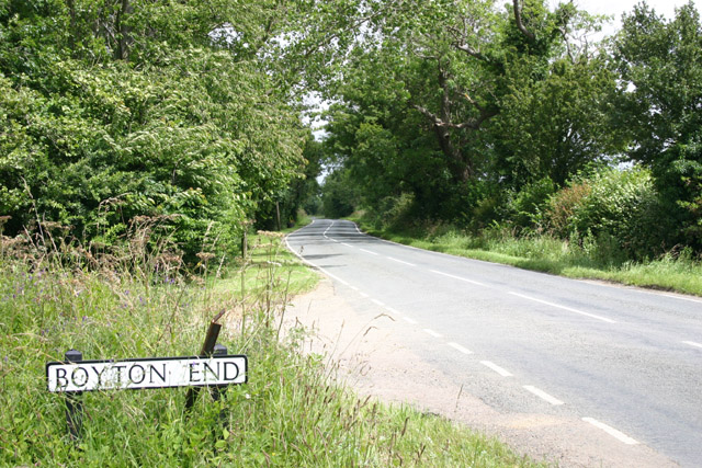
Boyton End, Essex

Boyton End is a hamlet in the Uttlesford district of Essex, England. It is located approximately one mile north-east of Thaxted on the B1051 road.

RAF Great Sampford

Royal Air Force Great Sampford or more simply RAF Great Sampford is a former Royal Air Force satellite station located 1.7 miles (2.7 km) west of Great...

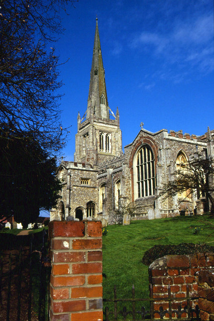
Thaxted Parish Church

The Church of Saint John the Baptist with Our Lady and Saint Laurence is the parish church of the town of Thaxted in Essex, England. The present church...

Nearby Amenities

Located within 500m of 51.973688,0.34526708
Power: tower
Lat/Long: 51.9746939/0.3522205
Power: tower
Lat/Long: 51.972777/0.3419313
Power: tower
Lat/Long: 51.9737486/0.3470814
The data included in this document is from www.openstreetmap.org. The data is made available under ODbL.

Have you been to Bow Croft Wood?

Leave your review of Bow Croft Wood below (or comments, questions and feedback).