Shipbourne Wood

Wood, Forest in Kent Tonbridge and Malling

England

Shipbourne Wood

Old Sour Road
Old Sour Road Credit: PAUL FARMER

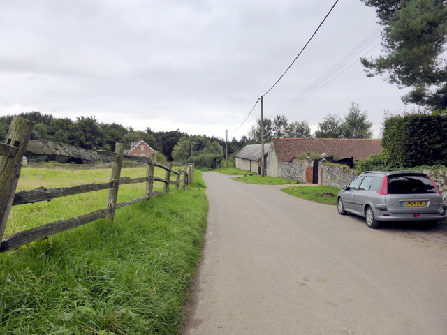
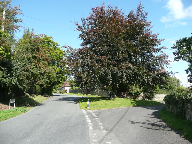
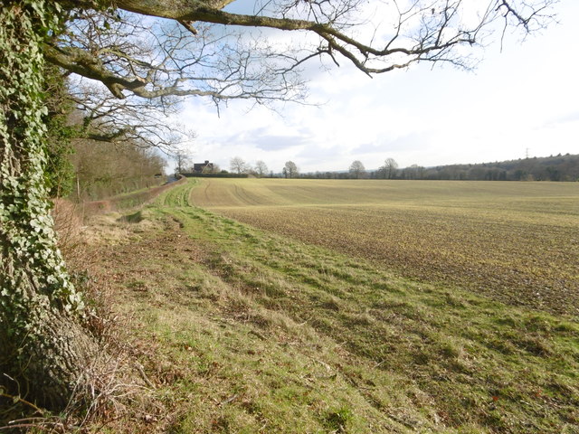
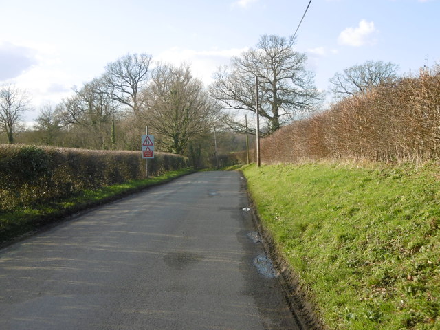
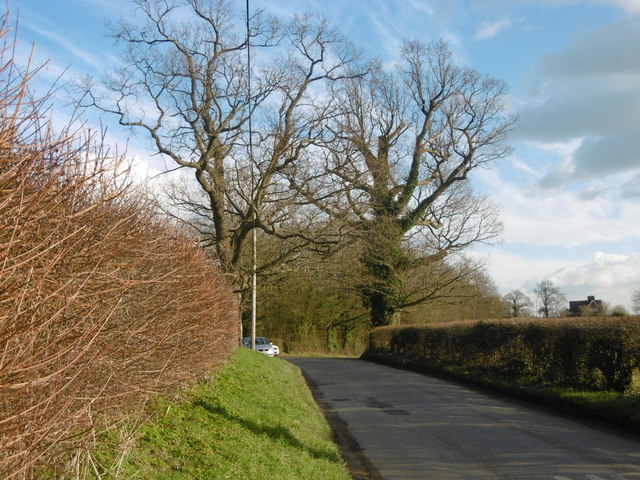
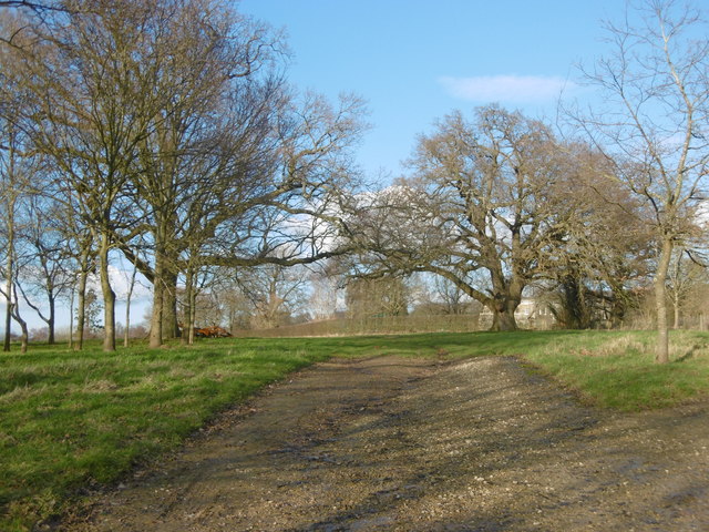
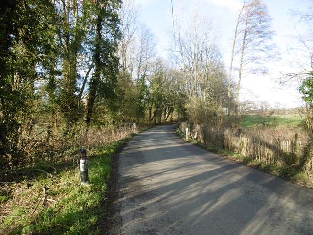
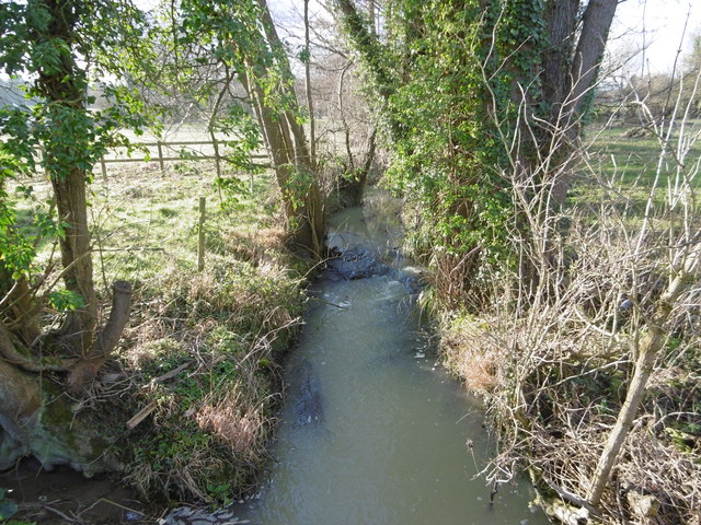
Shipbourne Wood is a picturesque woodland located in the county of Kent, England. Covering an area of approximately 70 acres, it is nestled within the North Downs, a range of hills renowned for their natural beauty and rich biodiversity. The wood is situated near the small village of Shipbourne, which is famous for its historic charm and rural character.

The woodland is predominantly composed of broadleaf trees, such as oak, beech, and ash, which create a dense canopy overhead. These towering trees provide a habitat for a diverse array of wildlife, including birds, squirrels, and deer. In the spring, the forest floor becomes carpeted with a vibrant display of bluebells and other wildflowers, creating a breathtaking sight for visitors.

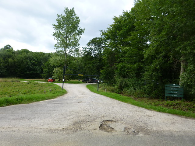
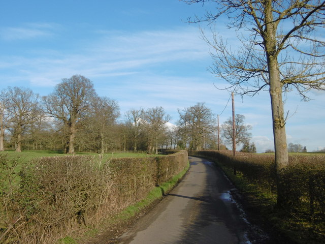
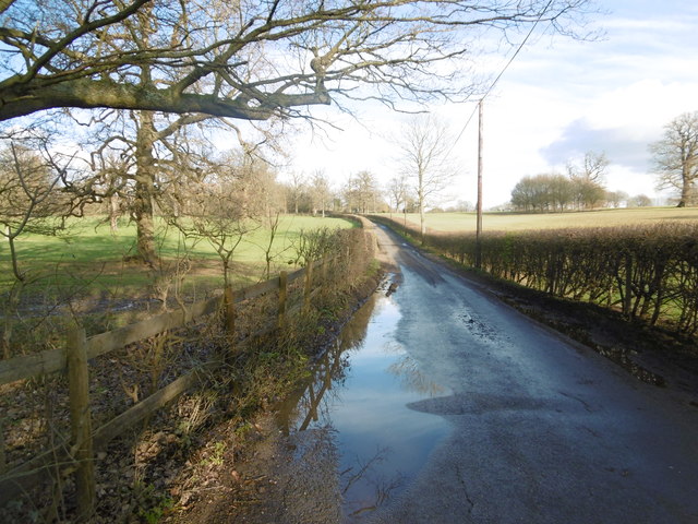
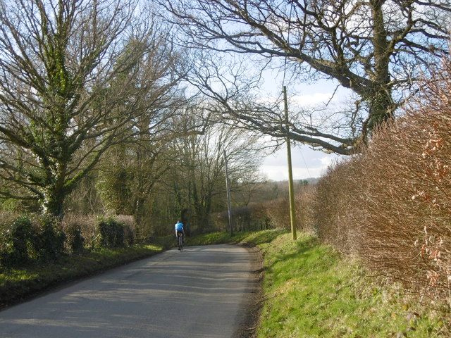
Shipbourne Wood offers several well-maintained walking trails that wind through the woodland, allowing visitors to explore its tranquil beauty at their own pace. These paths provide access to various points of interest, including a charming pond and a designated picnic area. The wood is also popular with nature enthusiasts, who often come here to observe and study the local flora and fauna.

In addition to its natural appeal, Shipbourne Wood holds historical significance. It is believed to have been part of a medieval deer park and retains remnants of an ancient deer fence. The wood is also home to several old coppice stools, a traditional method of woodland management that dates back centuries.

Overall, Shipbourne Wood is a captivating natural haven that offers a peaceful retreat from the hustle and bustle of everyday life. Its combination of scenic beauty, diverse wildlife, and historical intrigue make it a must-visit destination for nature lovers and history enthusiasts alike.

If you have any feedback on the listing, please let us know in the comments section below.

Shipbourne Wood Images

Images are sourced within 2km of 51.248035/0.30346756 or Grid Reference TQ6052. Thanks to Geograph Open Source API. All images are credited.

Old Sour Road
Old Sour Road
Sign at Plaxtol Spout This sign is beside a small residential development that is on the site of Hyders Forge.
Sign at Plaxtol Spout
This sign is beside a small residential development that is on the site of Hyders Forge.
Dene Park car park, Puttenden Road
Plaxtol Church This church is unusual in having no dedication. It was built in 1649, but has 19C windows. It is listed, Grade II*. The war memorial is not yet listed.
Plaxtol Church
This church is unusual in having no dedication. It was built in 1649, but has 19C windows. It is listed, Grade II*. The war memorial is not yet listed.
Grass triangle with copper beech tree, Plaxtol
Topiary at Nut Tree Hall, Plaxtol Nut Tree Hall is listed, Grade II, and the listing details state that it was built in the 16C, and restored and altered in 1905 by Harrison Townsend.
Topiary at Nut Tree Hall, Plaxtol
Nut Tree Hall is listed, Grade II, and the listing details state that it was built in the 16C, and restored and altered in 1905 by Harrison Townsend.
Grange Hill at The Grange, Plaxtol The Grange is listed, Grade II*, and the listing details include: "House. Early C17 house refronted in 1702, remodelled in 1926 by Sir Edwin Lutyens." The 18C wall and gate piers are also listed, Grade II.
Grange Hill at The Grange, Plaxtol
The Grange is listed, Grade II*, and the listing details include: "House. Early C17 house refronted in 1702, remodelled in 1926 by Sir Edwin Lutyens." The 18C wall and gate piers are also listed, Grade II.
Grass triangle with village sign, Plaxtol This is perhaps a tiny village green, although on the outskirts rather than at the centre of the village. It has the classic pairing of a red telephone kiosk and a letter box, and also an old-style signpost, a village notice board, a bench and a centrally-placed litter bin.
Grass triangle with village sign, Plaxtol
This is perhaps a tiny village green, although on the outskirts rather than at the centre of the village. It has the classic pairing of a red telephone kiosk and a letter box, and also an old-style signpost, a village notice board, a bench and a centrally-placed litter bin.
Field next to Hamptons Road This was a lovely clear afternoon light in Kent. This field is next to the road from Hadlow to Paxtol and opposite the junction with Park Road.
Field next to Hamptons Road
This was a lovely clear afternoon light in Kent. This field is next to the road from Hadlow to Paxtol and opposite the junction with Park Road.
Park Road near Hadlow This was a lovely clear afternoon light in Kent. This is Park Road leading away from Hamptons Road.
Park Road near Hadlow
This was a lovely clear afternoon light in Kent. This is Park Road leading away from Hamptons Road.
Park Road near Hadlow This is Park Road leading away from Hamptons Road after recent rain.
Park Road near Hadlow
This is Park Road leading away from Hamptons Road after recent rain.
A cyclist heads downhill This is Hamptons Road on the way from Hadlow to Paxtol. It was a lovely clear afternoon light in Kent as a cyclist heads downhill.
A cyclist heads downhill
This is Hamptons Road on the way from Hadlow to Paxtol. It was a lovely clear afternoon light in Kent as a cyclist heads downhill.
Hamptons Road This is Hamptons Road on the way from Hadlow to Paxtol. It was a lovely clear afternoon light in Kent.
Hamptons Road
This is Hamptons Road on the way from Hadlow to Paxtol. It was a lovely clear afternoon light in Kent.
Hamptons Road This is Hamptons Road on the way from Plaxtol to Hadlow. The junction with Park Road is just ahead. It was a lovely clear afternoon light in Kent.
Hamptons Road
This is Hamptons Road on the way from Plaxtol to Hadlow. The junction with Park Road is just ahead. It was a lovely clear afternoon light in Kent.
Driveway towards Hamptons Hamptons is an imposing nineteenth century house - see <a title="https://www.geograph.org.uk/photo/3389962" href="https://www.geograph.org.uk/photo/3389962">Link</a>   This isn't the main driveway - that is off Park Road. A notice on the gate over which this photograph was taken states that this is part of the Fairlawne Estate. Much of this area seems to be part of that estate.
Driveway towards Hamptons
Hamptons is an imposing nineteenth century house - see Link This isn't the main driveway - that is off Park Road. A notice on the gate over which this photograph was taken states that this is part of the Fairlawne Estate. Much of this area seems to be part of that estate.
Puttenden Road Puttenden Road crosses a small stream ahead on its way to Claygate and Puttenden Manor Farm.
Puttenden Road
Puttenden Road crosses a small stream ahead on its way to Claygate and Puttenden Manor Farm.
Stream seen from Puttenden Road Puttenden Road crosses this small stream near Hookwood Farm. See also <a title="https://www.geograph.org.uk/photo/4832679" href="https://www.geograph.org.uk/photo/4832679">Link</a>
Stream seen from Puttenden Road
Puttenden Road crosses this small stream near Hookwood Farm. See also Link
Show me another place!

Shipbourne Wood is located at Grid Ref: TQ6052 (Lat: 51.248035, Lng: 0.30346756)

Administrative County: Kent

District: Tonbridge and Malling

Police Authority: Kent

What 3 Words

///cult.baked.toned. Near Hadlow, Kent

Related Wikis

Shipbourne

Shipbourne ( SHIB-ərn) is a village and civil parish situated between the towns of Sevenoaks and Tonbridge, in the borough of Tonbridge and Malling in...
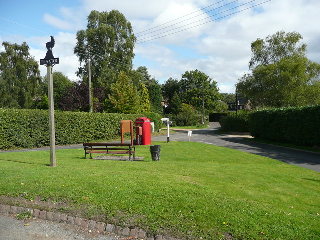
Plaxtol

Plaxtol is a village and civil parish in the borough of Tonbridge and Malling in Kent, England. The village is located around 5 miles (8 km) north of Tonbridge...

Yopps Green

Yopps Green is a hamlet in the Tonbridge and Malling District, in the county of Kent, England. It is part of the small village of Plaxtol. == Location... ==

Fairlawne

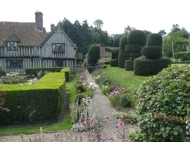
Fairlawne is a Grade I listed house in Shipbourne, Kent, England, about 30 miles southeast of central London. The Fairlawne Estate is extensive and stretches...
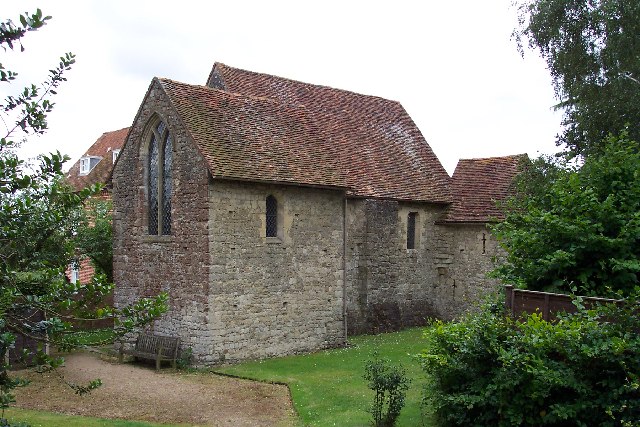
Old Soar Manor

Old Soar Manor is an English Heritage property, owned and maintained by the National Trust. Located near Plaxtol, Kent, England, it is a small 13th century...

West Peckham

West Peckham is a village and civil parish in the borough of Tonbridge and Malling in Kent, England. The River Bourne flows through the extreme west of...

Bourne Alder Carr

Bourne Alder Carr is a 13.4-hectare (33-acre) biological Site of Special Scientific Interest east of Sevenoaks in Kent.The River Bourne runs through a...
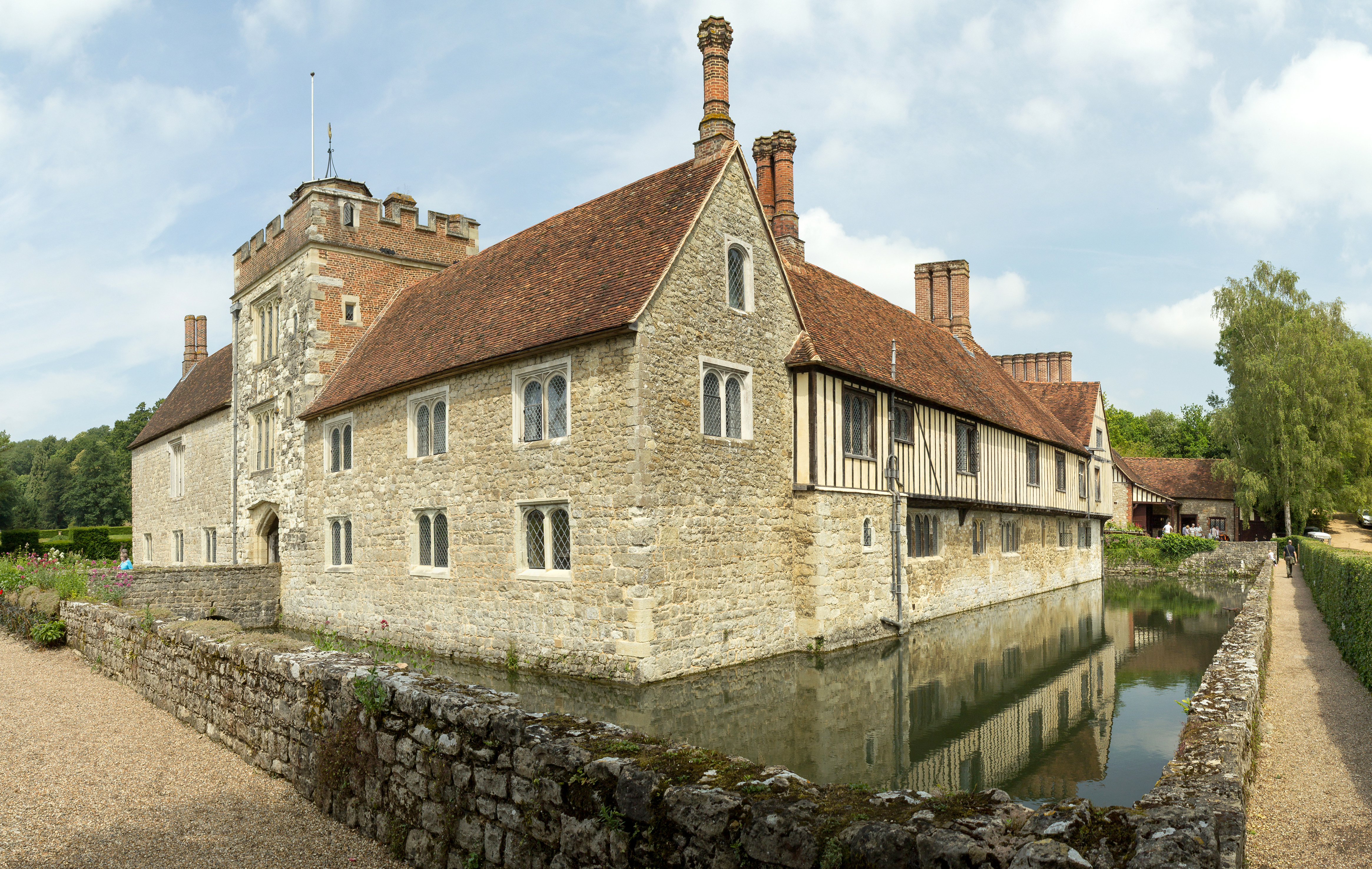
Ightham Mote

Ightham Mote (), at Ightham, is a medieval moated manor house in Kent, England. The architectural writer John Newman describes it as "the most complete...

Nearby Amenities

Located within 500m of 51.248035,0.30346756
Barrier: stile
Foot: yes
Material: wood
Source: survey
Stile: stepover
Lat/Long: 51.2489268/0.3025315
Barrier: stile
Foot: yes
Material: wood
Source: survey
Stile: stepover
Lat/Long: 51.2493545/0.3049014
Bus Stop
Barton Cottages
Local Ref: adj
Naptan AtcoCode: 2400A005520A
Naptan Bearing: S
Naptan BusStopType: MKD
Naptan CommonName: Barton Cottages
Naptan Indicator: adj
Naptan Landmark: Barton Cottages
Naptan NaptanCode: kntagwmt
Naptan RevisionNumber: 2
Naptan Status: act
Naptan Street: Long Mill Lane
Naptan Verified: yes
Public Transport: platform
Ref: kntagwmt
Source: naptan_import
Source Date: 2018-03-06
Lat/Long: 51.2514549/0.3075651
Bus Stop
Barton Cottages
Local Ref: opp
Naptan AtcoCode: 2400A005530A
Naptan Bearing: N
Naptan BusStopType: MKD
Naptan CommonName: Barton Cottages
Naptan Indicator: opp
Naptan Landmark: Barton Cottages
Naptan NaptanCode: kntagwmw
Naptan RevisionNumber: 5
Naptan Status: act
Naptan Street: Long Mill Lane
Naptan Verified: yes
Public Transport: platform
Ref: kntagwmw
Source: naptan_import
Source Date: 2018-03-06
Lat/Long: 51.2516037/0.3073146
Barrier: stile
Foot: yes
Material: wood
Source: survey
Stile: stepover
Lat/Long: 51.2487131/0.2983414
Barrier: stile
Foot: yes
Material: wood
Source: survey
Stile: stepover
Lat/Long: 51.2487182/0.298984
Barrier: stile
Foot: yes
Material: wood
Source: survey
Stile: stepover
Lat/Long: 51.2502131/0.3063806
Barrier: kissing_gate
Bicycle: no
Foot: yes
Lat/Long: 51.2486799/0.3096423
Post Box
Collection Times: Mo-Fr 09:00; Sa 07:00; Su off
Operator: Royal Mail
Post Box Type: wall
Ref: TN11 10D
Royal Cypher: VR
Royal Cypher Wikidata: Q33102356
Lat/Long: 51.2465785/0.3059303
Post Box
Collection Times: Mo-Fr 09:00; Sa 07:00; Su off
Colour: Red
Operator: Royal Mail
Post Box Type: wall
Ref: TN11 148
Royal Cypher: GR
Royal Cypher Wikidata: Q33102273
Lat/Long: 51.2515418/0.3075435
Post Box
Collection Times: Mo-Fr 09:00; Sa 07:00; Su off
Operator: Royal Mail
Post Box Type: lamp
Ref: TN11 316
Royal Cypher: GVIR
Royal Cypher Wikidata: Q33102169
Lat/Long: 51.2460249/0.299096
Grit Bin
Lat/Long: 51.246854/0.3058754
Colour: red and white
Marker: aerial
Utility: gas
Lat/Long: 51.2439937/0.303149
Colour: white
Marker: aerial
Utility: gas
Lat/Long: 51.2477646/0.3006813
Colour: yellow
Marker: post
Utility: gas
Lat/Long: 51.2477667/0.3006796
Colour: red and white
Marker: aerial
Utility: gas
Lat/Long: 51.2479347/0.3010027
Colour: white
Marker: post
Utility: gas
Lat/Long: 51.247855/0.3010248
Barrier: stile
Lat/Long: 51.2477944/0.302215
The data included in this document is from www.openstreetmap.org. The data is made available under ODbL.

Have you been to Shipbourne Wood?

Leave your review of Shipbourne Wood below (or comments, questions and feedback).