Decoy Wood
Wood, Forest in Sussex Wealden
England
Decoy Wood

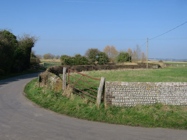
Decoy Wood is a picturesque forest located in the county of Sussex, England. Covering an area of approximately 200 acres, this woodland is known for its natural beauty and diverse ecosystem. The wood is situated near the village of East Dean, nestled within the South Downs National Park.
The woodland is predominantly made up of broadleaf trees, including oak, birch, and beech. These trees create a dense canopy, providing shade and shelter for a wide variety of flora and fauna. Decoy Wood is particularly renowned for its bluebells, which create a stunning carpet of vibrant colors during the springtime.
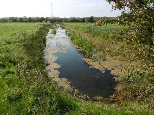
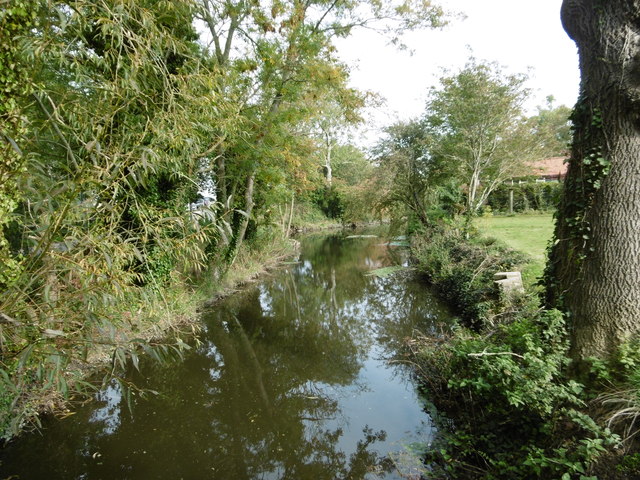
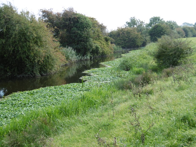
The forest is crisscrossed with a network of well-maintained trails, making it a popular destination for hikers, nature enthusiasts, and families looking to enjoy the great outdoors. These paths offer visitors the opportunity to explore the wood's different habitats, including open clearings, dense thickets, and tranquil ponds.
Decoy Wood is also home to a rich array of wildlife. Birdwatchers can spot species such as woodpeckers, nuthatches, and tawny owls, while small mammals like badgers and foxes can often be glimpsed darting through the undergrowth. The wood's ponds are home to a variety of amphibians and insects, adding to its biodiversity.
Managed by the local authority, Decoy Wood is a cherished conservation area. It provides an important habitat for wildlife and offers visitors a chance to connect with nature in a tranquil and serene environment.
If you have any feedback on the listing, please let us know in the comments section below.
Decoy Wood Images
Images are sourced within 2km of 50.835645/0.28211956 or Grid Reference TQ6006. Thanks to Geograph Open Source API. All images are credited.


Decoy Wood is located at Grid Ref: TQ6006 (Lat: 50.835645, Lng: 0.28211956)
Administrative County: East Sussex
District: Wealden
Police Authority: Sussex
What 3 Words
///chat.spinners.fluid. Near Hailsham, East Sussex
Nearby Locations
Related Wikis
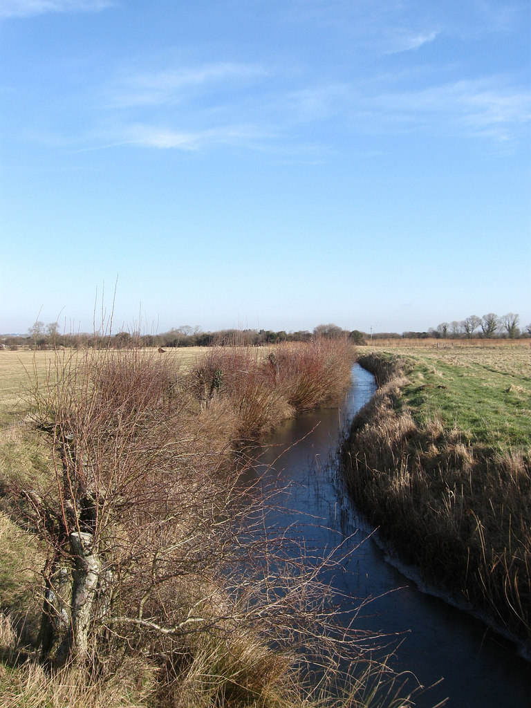
Marland Sewer
Marland Sewer is a minor, 767-metre (2,516 ft) long river (brook) and drainage ditch in the Pevensey Levels of Hailsham, Wealden District, East Sussex...

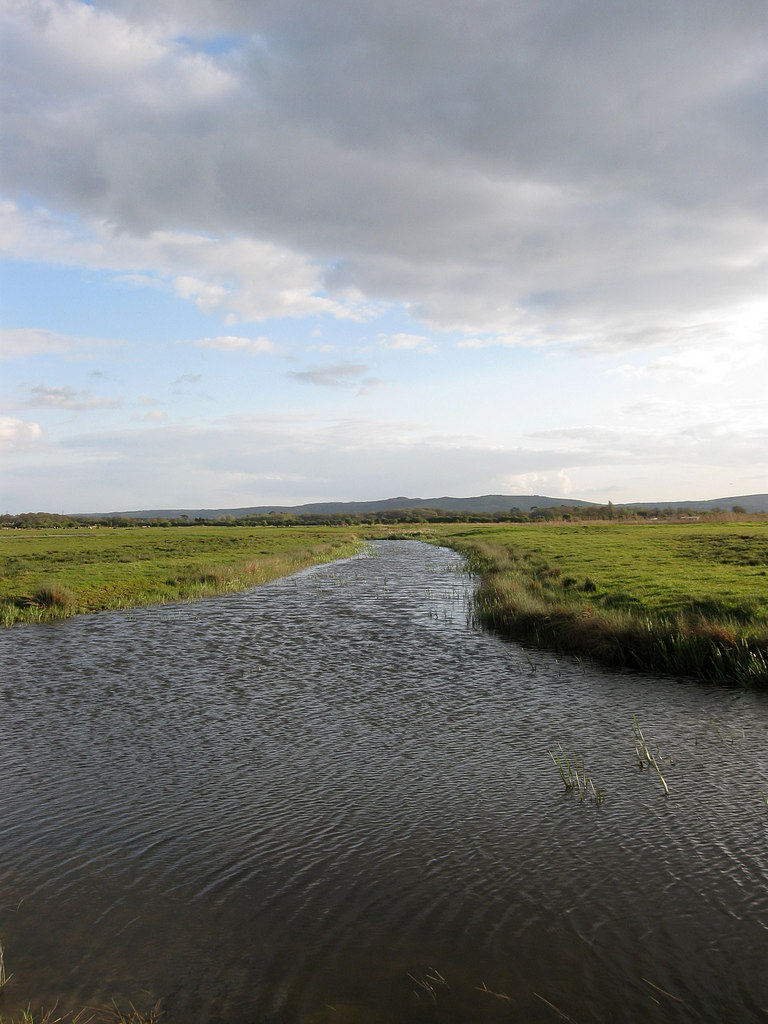
Wadham New Cut
Wadham New Cut is a minor, 667-metre (2,188 ft) long river (brook) and drainage ditch of the Pevensey Levels in the civil parish of Westham, Wealden District...
Saltmarsh Sewer
Saltmarsh Sewer is a minor river (brook) and drainage ditch of the Pevensey Levels in Hailsham, Wealden District of East Sussex, England. Comprising multiple...
Duck Puddle
Duck Puddle, or Duckpuddle, is a minor, 1.032-kilometre (0.641 mi) long river (brook) and drainage ditch of the Pevensey Levels in the civil parish of...
Winters Cut
Winters Cut is the name of three streams (brooks) or drainage ditches of the Pevensey Levels in the civil parish of Westham, Wealden District of East Sussex...
Holm Sewer
Holm Sewer is a minor river (brook) and drainage ditch of the Pevensey Levels in Hailsham, Wealden District of East Sussex, England. A tributary to Marland...

Drockmill Hill Gut
Drockmill Hill Gut is a 3.1-kilometre (1.9 mi) long river in the Wealden District of East Sussex, England, that is a tributary to Glynleigh Sewer. It is...
Crossing Sewer
Crossing Sewer is the name of two minor streams (brooks) of the Pevensey Levels in Hailsham, Wealden District of East Sussex, England. Both streams serve...
Nearby Amenities
Located within 500m of 50.835645,0.28211956Have you been to Decoy Wood?
Leave your review of Decoy Wood below (or comments, questions and feedback).