Langley Wood

Wood, Forest in Cambridgeshire South Cambridgeshire

England

Langley Wood

Five miles to Haverhill In a south-eastern wedge of Cambridgeshire, on the edges of Essex and Suffolk,
Five miles to Haverhill Credit: John Sutton

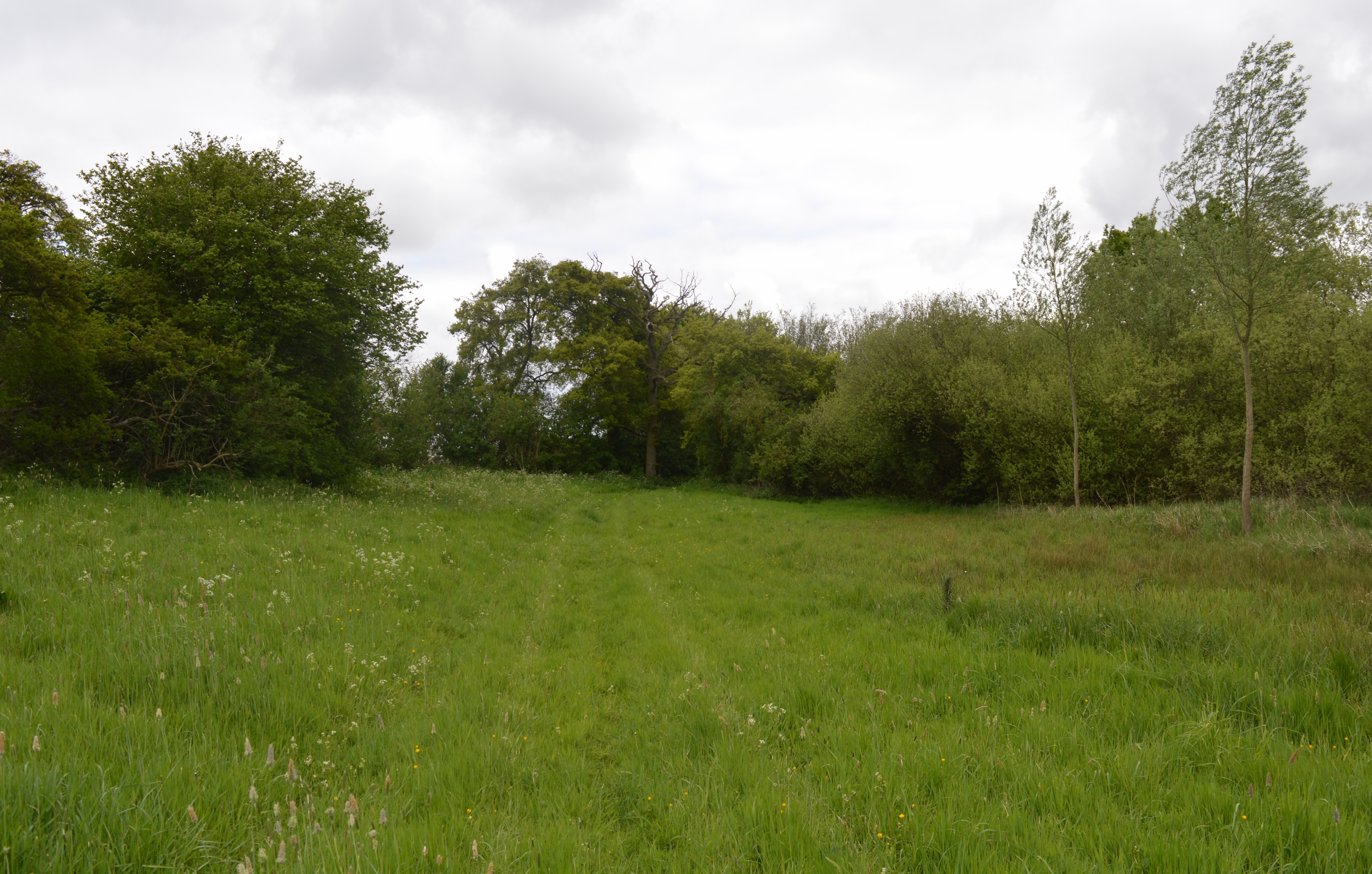
Langley Wood is a picturesque forest located in the county of Cambridgeshire, England. Situated near the village of Langley, the wood covers an area of approximately 100 acres and is known for its rich biodiversity and natural beauty.

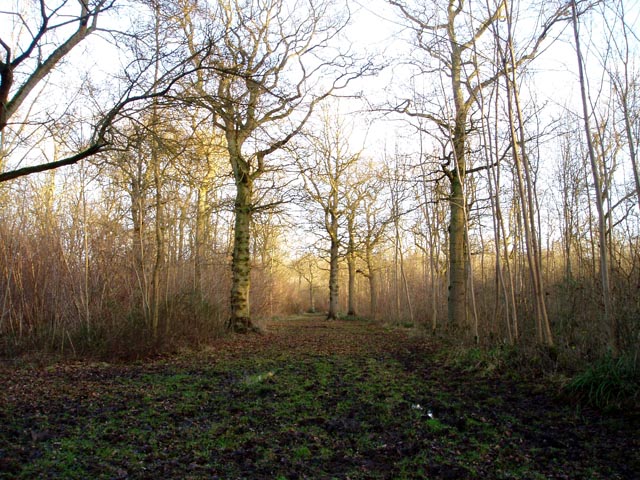
The wood is predominantly made up of ancient broadleaf trees, including oak, beech, and ash, which provide a dense and vibrant canopy. This creates a tranquil and shaded environment, perfect for leisurely walks, picnics, and nature exploration.

Langley Wood is a designated Site of Special Scientific Interest (SSSI) due to its diverse range of plant and animal species. The forest floor is adorned with a colorful carpet of wildflowers, including bluebells and primroses, particularly vibrant during the spring months. The wood is also home to a variety of bird species, such as woodpeckers, owls, and warblers, making it a haven for birdwatching enthusiasts.

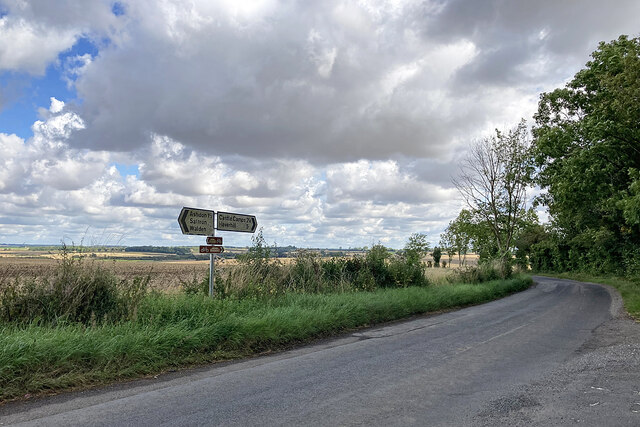
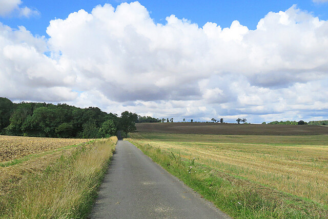
The wood is crisscrossed by a network of well-maintained footpaths and trails, making it easily accessible for visitors. There are several marked routes, ranging from short strolls to longer hikes, allowing visitors to explore the different areas of the forest. Interpretive boards provide information about the flora and fauna, enhancing the educational experience.

Langley Wood offers a peaceful escape from the hustle and bustle of daily life, providing an opportunity to connect with nature and enjoy the serenity of the woodland surroundings. It is a popular destination for families, nature lovers, and photographers, seeking solace and inspiration in this natural gem of Cambridgeshire.

If you have any feedback on the listing, please let us know in the comments section below.
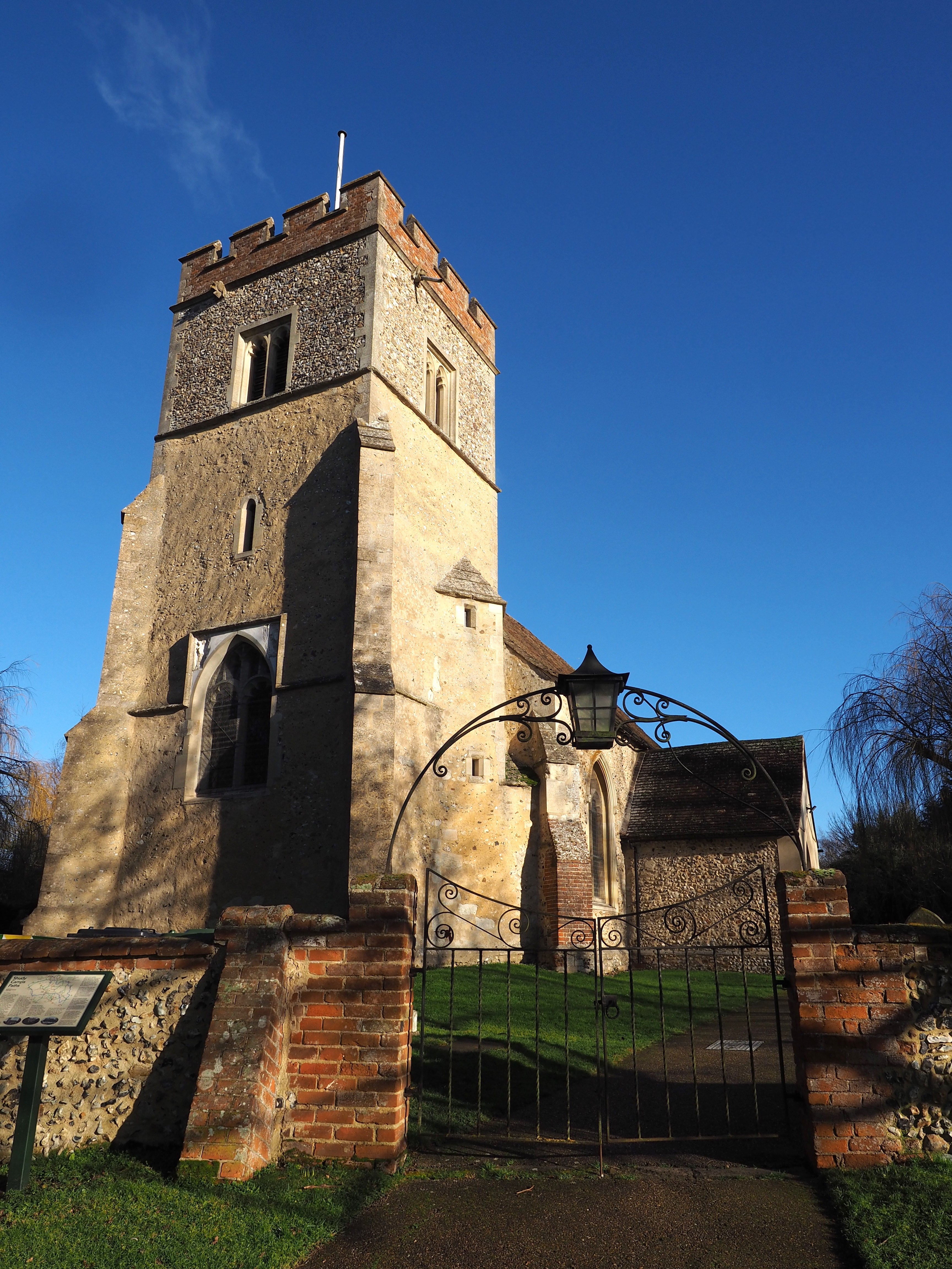
Langley Wood Images

Images are sourced within 2km of 52.056759/0.34308133 or Grid Reference TL6042. Thanks to Geograph Open Source API. All images are credited.

Five miles to Haverhill In a south-eastern wedge of Cambridgeshire, on the edges of Essex and Suffolk,
Five miles to Haverhill
In a south-eastern wedge of Cambridgeshire, on the edges of Essex and Suffolk,
On the way to Steventon End and Ashdon
Riders on a quiet lane The cyclist was making for Steventon End and Ashdon. The riders were heading towards Camps Hall. The sun was briefly behind high cloud, but a minute or so later the view from further up the hill was much brighter: <a href="https://www.geograph.org.uk/photo/7579846">TL6043 : On the way to Steventon End and Ashdon</a>.
Riders on a quiet lane
The cyclist was making for Steventon End and Ashdon. The riders were heading towards Camps Hall. The sun was briefly behind high cloud, but a minute or so later the view from further up the hill was much brighter: TL6043 : On the way to Steventon End and Ashdon.
Sunlight, shadow, woodland and rolling fields A late-August morning of high, fast-moving cloud, bright sunlight and shifting shadows. This is the lane from Camps Hall to Steventon End, in the south-eastern corner of Cambridgeshire.
Sunlight, shadow, woodland and rolling fields
A late-August morning of high, fast-moving cloud, bright sunlight and shifting shadows. This is the lane from Camps Hall to Steventon End, in the south-eastern corner of Cambridgeshire.
Camps Hall to Steventon End The road to Steventon End has just crossed a stream which is one of the easternmost tributaries of the many-stranded eastern arm of the River Cam network.
Camps Hall to Steventon End
The road to Steventon End has just crossed a stream which is one of the easternmost tributaries of the many-stranded eastern arm of the River Cam network.
Road junction at Camps Hall The road ahead, to Bartlow, follows one of the easternmost streams of the many-stranded River Cam, which rises near Castle Camps.
Road junction at Camps Hall
The road ahead, to Bartlow, follows one of the easternmost streams of the many-stranded River Cam, which rises near Castle Camps.
The road to Bartlow in August The road follows a stream which rises near Castle Camps and is one of the easternmost of the many strands of the complex River Cam network.
The road to Bartlow in August
The road follows a stream which rises near Castle Camps and is one of the easternmost of the many strands of the complex River Cam network.
Camps End: left to Bartlow, right to the Bumpsteads The words "Together in The Camps" are incised on the bench.
Camps End: left to Bartlow, right to the Bumpsteads
The words "Together in The Camps" are incised on the bench.
Camps End: Farm Cottage The timber-framed cottage is Grade II listed.
Camps End: Farm Cottage
The timber-framed cottage is Grade II listed.
Camps End: blue on the bend A pleasing timber-framed house with a slate roof.
Camps End: blue on the bend
A pleasing timber-framed house with a slate roof.
Cottages at Camps End On an otherwise sunny morning in late August the sun was briefly behind a scrap of high cloud.
Cottages at Camps End
On an otherwise sunny morning in late August the sun was briefly behind a scrap of high cloud.
Brownings House This Grade II listed timber-framed farmhouse of c 1700 is on a dead-end lane near Camps End, in a south-eastern corner of Cambridgeshire.
Brownings House
This Grade II listed timber-framed farmhouse of c 1700 is on a dead-end lane near Camps End, in a south-eastern corner of Cambridgeshire.
Outside Spindleberry Cottage A bench is kindly provided for the use of elderly cyclists. The fingerpost points along a path which leads eventually to Castle Camps.
Outside Spindleberry Cottage
A bench is kindly provided for the use of elderly cyclists. The fingerpost points along a path which leads eventually to Castle Camps.
Sunlight, shadows and Spindleberry Cottage The sun was in the wrong quarter of the sky for a successful picture of the whole cottage, taken from the road - but I discovered that Jonathan Billinger had photographed it clearly in 2007: <a href="https://www.geograph.org.uk/photo/599020">TL6141 : Spindleberry Cottage</a>.
Sunlight, shadows and Spindleberry Cottage
The sun was in the wrong quarter of the sky for a successful picture of the whole cottage, taken from the road - but I discovered that Jonathan Billinger had photographed it clearly in 2007: TL6141 : Spindleberry Cottage.
At Charlwood Farm The farmhouse is Grade II listed, but not the outbuildings....
At Charlwood Farm
The farmhouse is Grade II listed, but not the outbuildings....
On the byway to Camps End A remote corner of Cambridgeshire on a fine late-August morning.
On the byway to Camps End
A remote corner of Cambridgeshire on a fine late-August morning.
Footpath to Shudy Camps The path crosses a bridge over a ditch. Beyond, the field has been ploughed after harvest and the path has not yet been reinstated.
Footpath to Shudy Camps
The path crosses a bridge over a ditch. Beyond, the field has been ploughed after harvest and the path has not yet been reinstated.
Track to Lordship Farm North of the road from Bartlow to Castle Camps.
Track to Lordship Farm
North of the road from Bartlow to Castle Camps.
Show me another place!

Langley Wood is located at Grid Ref: TL6042 (Lat: 52.056759, Lng: 0.34308133)

Administrative County: Cambridgeshire

District: South Cambridgeshire

Police Authority: Cambridgeshire

What 3 Words

///disputes.remarking.matchbox. Near Linton, Cambridgeshire

Related Wikis

Langley Wood, Cambridgeshire

Langley Wood is a 31.6-hectare (78-acre) biological Site of Special Scientific Interest in Cambridgeshire, but lying between Saffron Walden in Essex and...

Bragg's Mill, Ashdon

Bragg's Mill, William Bragg's Mill, Bartlow Hamlet Mill or Stevington End Mill is a grade II listed post mill at Ashdon, Essex, England which has been...

Shudy Camps

Shudy Camps is a village in the south-east corner of Cambridgeshire, England, near the border of Essex and Suffolk, and is part of the Chilford Hundred...

Castle Camps

Castle Camps was a Norman Castle located in what is now the civil parish of Castle Camps, Cambridgeshire. == Owners == Castle Camps was originally a Saxon...

Ashdon

Ashdon, is a village and civil parish in Essex, England. It is about 4 miles (6 km) northeast of Saffron Walden and 23 miles (37 km) northwest from the...

RAF Castle Camps

RAF Castle Camps was listed as being in Cambridgeshire as it is close to its namesake Cambridgeshire village. It is very near the Suffolk border and the...

Castle Camps (village)

Castle Camps is a village and civil parish in the South Cambridgeshire district, in the county of Cambridgeshire, England. It is 15 miles (24 km) south...

Ashdon Meadows

Ashdon Meadows is a 1.5-hectare (3.7-acre) biological Site of Special Scientific Interest south of Ashdon in Essex.The site is unimproved grassland which...

Nearby Amenities

Located within 500m of 52.056759,0.34308133
The data included in this document is from www.openstreetmap.org. The data is made available under ODbL.

Have you been to Langley Wood?

Leave your review of Langley Wood below (or comments, questions and feedback).