Engine Belt

Wood, Forest in Norfolk King's Lynn and West Norfolk

England

Engine Belt

On the Ouse Valley Way - Heading north towards White House Farm near Denver Sluice
On the Ouse Valley Way - Heading north towards White House Farm near Denver Sluice Credit: Colin Park

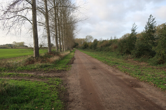
Engine Belt, Norfolk is a dense woodland area located in the eastern part of England. It stretches over an area of approximately 500 acres and is known for its rich biodiversity and natural beauty. The woodland is predominantly made up of deciduous trees, such as oak, birch, and beech, which create a vibrant and colorful landscape throughout the seasons.

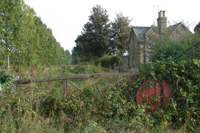
The name "Engine Belt" originated from the historical use of the woodland as a site for steam-powered engines during the Industrial Revolution. These engines were used for various purposes, including pumping water and powering machinery. Although the engines are no longer in operation, the name has remained, becoming an integral part of the woodland's identity.

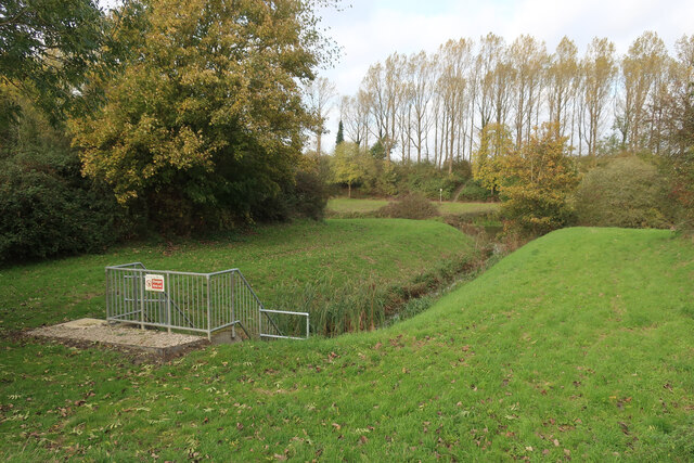
The woodland is home to a diverse range of wildlife, including several species of birds, mammals, and insects. It provides a valuable habitat for many rare and endangered species, such as the red squirrel and the silver-washed fritillary butterfly.

Engine Belt offers various recreational activities for visitors, including walking trails, cycling paths, and picnic areas. The woodland is a popular destination for nature enthusiasts, hikers, and families looking to enjoy the outdoors. It also serves as an educational resource, with guided tours and educational programs available to learn about the woodland's history and ecology.

Overall, Engine Belt, Norfolk is a picturesque woodland area that offers a tranquil escape from the bustling city life. Its natural beauty, diverse wildlife, and recreational opportunities make it an ideal destination for those seeking to connect with nature.

If you have any feedback on the listing, please let us know in the comments section below.
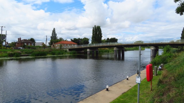
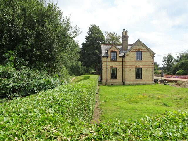
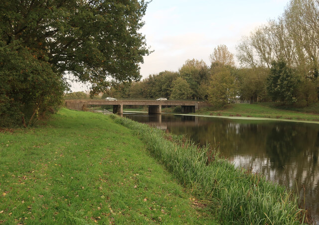
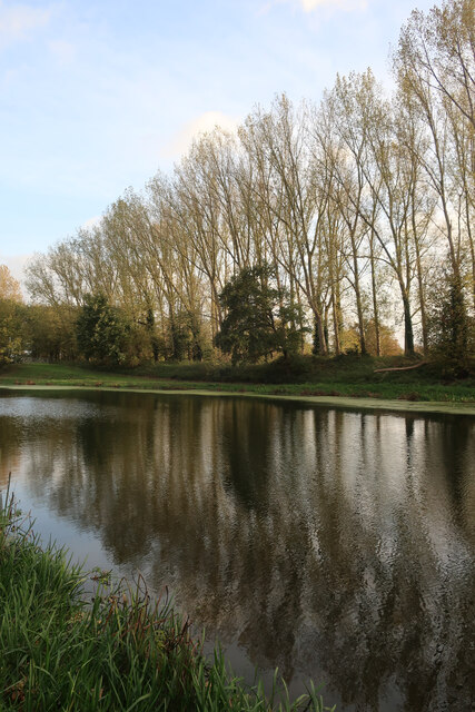
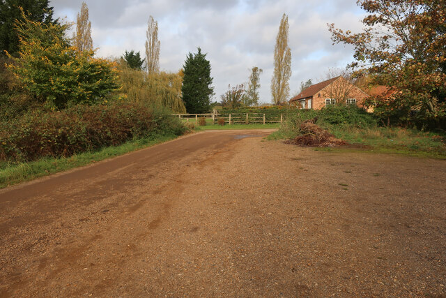
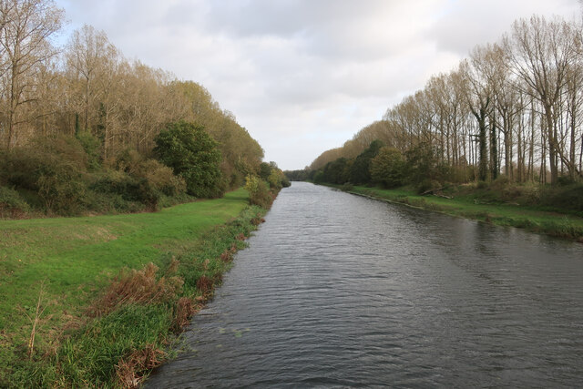
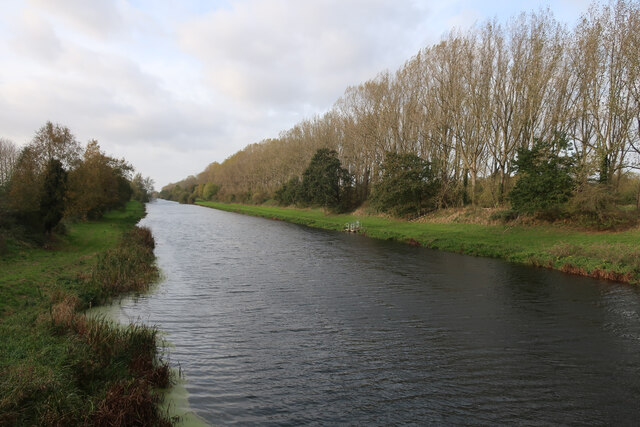
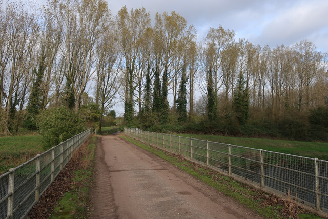
Engine Belt Images

Images are sourced within 2km of 52.563424/0.36816819 or Grid Reference TL6098. Thanks to Geograph Open Source API. All images are credited.

On the Ouse Valley Way - Heading north towards White House Farm near Denver Sluice
On the Ouse Valley Way - Hillgay Bridge
Ryston railway station (site), Norfolk Opened in 1882 by the Downham and Stoke Ferry Railway, later part of the Great Eastern Railway, on the branch line between those places, this station closed to passengers in 1930 and completely in 1964.
View east towards Abbey and the end of the line at Stoke Ferry. The single platform can still be seen to the left of the former station house. The level crossing gates shown in <a href="https://www.geograph.org.uk/photo/570582">TL6199 : Ryston Station, West Norfolk</a> were still there in 2021, 57 years after they were probably last used.
Ryston railway station (site), Norfolk
Opened in 1882 by the Downham and Stoke Ferry Railway, later part of the Great Eastern Railway, on the branch line between those places, this station closed to passengers in 1930 and completely in 1964. View east towards Abbey and the end of the line at Stoke Ferry. The single platform can still be seen to the left of the former station house. The level crossing gates shown in TL6199 : Ryston Station, West Norfolk were still there in 2021, 57 years after they were probably last used.
A10 over Cut-off Channel The Cut-off Channel is a large man made channel that follows the eastern edge of the Fens.
A10 over Cut-off Channel
The Cut-off Channel is a large man made channel that follows the eastern edge of the Fens.
Poplars by the Cut-off Channel Poplars used to be a commercial timber crop, as well as a useful windbreak. They are no longer commercial so the number of plantations is falling and others not being harvested.
Poplars by the Cut-off Channel
Poplars used to be a commercial timber crop, as well as a useful windbreak. They are no longer commercial so the number of plantations is falling and others not being harvested.
Parking at Fordham With permissive paths each side of the Cut-off Channel, the area is good for walking.
Parking at Fordham
With permissive paths each side of the Cut-off Channel, the area is good for walking.
Cut-off Channel near Fordham With permissive paths each side.
Cut-off Channel near Fordham
With permissive paths each side.
Cut-off Channel near Fordham With permissive paths each side. The Cut-off Channel is a large man made channel that follows the eastern edge of the Fens.
Cut-off Channel near Fordham
With permissive paths each side. The Cut-off Channel is a large man made channel that follows the eastern edge of the Fens.
Bridge over Cut-off Channel
Bridleway by Cut-off Channel
Catchwater drain entering Cut-off Channel Also linking the bridleway with the permissive path along the Cut-off Channel.
Catchwater drain entering Cut-off Channel
Also linking the bridleway with the permissive path along the Cut-off Channel.
Bridleway by Cut-off Channel
Poplars by the Cut-off Channel Poplars used to be a commercial timber crop, as well as a useful windbreak. They are no longer commercial so the number of plantations is falling and others not being harvested.
Poplars by the Cut-off Channel
Poplars used to be a commercial timber crop, as well as a useful windbreak. They are no longer commercial so the number of plantations is falling and others not being harvested.
Bridleway to Fordham
Barn by bridleway
Barn by bridleway
Stubble field
Stubble field
Ditch on Fordham Fen
Show me another place!

Engine Belt is located at Grid Ref: TL6098 (Lat: 52.563424, Lng: 0.36816819)

Administrative County: Norfolk

District: King's Lynn and West Norfolk

Police Authority: Norfolk

What 3 Words

///areas.ribcage.flaunting. Near Southery, Norfolk

Nearby Locations

Fordham Fen Engine Belt

Related Wikis

St Mary's Church, Fordham

St Mary's Church is located to the south of the village of Fordham, Norfolk, England. It is a redundant Anglican parish church in the care of the Friends...

Fordham, Norfolk

Fordham is a small village and civil parish in the English county of Norfolk. The village is located 2.2 miles (3.5 km) north of Downham Market and 39...

Ouse Bridge railway station

Ouse Bridge railway station was a railway station in Norfolk, England. == History == The Lynn and Ely Railway (L&ER) had opened between King's Lynn and...

Ryston railway station

Ryston railway station was a railway station serving Fordham, Norfolk. It was on a branch line from Denver. == History == The Downham and Stoke Ferry Railway...

Hilgay

Hilgay is a village and civil parish in Norfolk, England, 4 miles (6.4 km) from Downham Market. It covers an area of 33.38 km2 (12.89 sq mi) and had a...

River Wissey

The River Wissey is a river in Norfolk, eastern England. It rises near Bradenham, and flows for nearly 31 miles (50 km) to join the River Great Ouse at...

1974 Norfolk mid-air collision

The 1974 Norfolk mid-air collision happened on 9 August 1974 at Fordham Fen, Norfolk, England when a Royal Air Force McDonnell-Douglas F-4M Phantom FGR...

Denver railway station (England)

Denver railway station (originally opened as Denver Road Gate) was a station in Denver, Norfolk on the Great Eastern Railway route between King's Lynn...

Nearby Amenities

Located within 500m of 52.563424,0.36816819
Fordham Fen
Place: locality
Lat/Long: 52.5640829/0.3727337
The data included in this document is from www.openstreetmap.org. The data is made available under ODbL.

Have you been to Engine Belt?

Leave your review of Engine Belt below (or comments, questions and feedback).