Court Wood
Wood, Forest in Kent Tonbridge and Malling
England
Court Wood
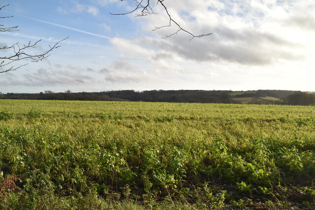
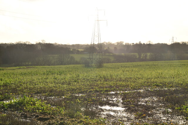
Court Wood is a picturesque woodland located in the county of Kent, England. Situated just outside the village of Woodchurch, this woodland is part of the larger Bedgebury Forest, one of the largest forested areas in the county. Covering an area of approximately 500 acres, Court Wood offers visitors a tranquil and scenic environment to explore.
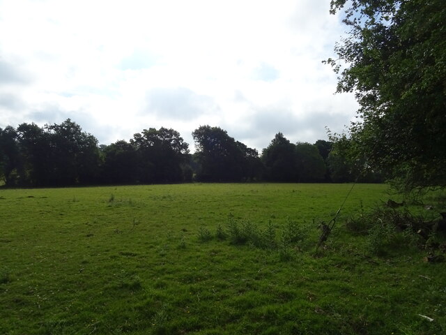
The woodland is home to a diverse range of tree species, including oak, beech, and pine, creating a rich and varied landscape. The dense canopy provides shelter for an array of wildlife, such as deer, squirrels, and a variety of bird species, making it a popular spot among nature enthusiasts and birdwatchers.
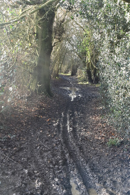
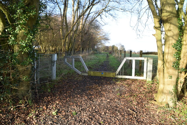
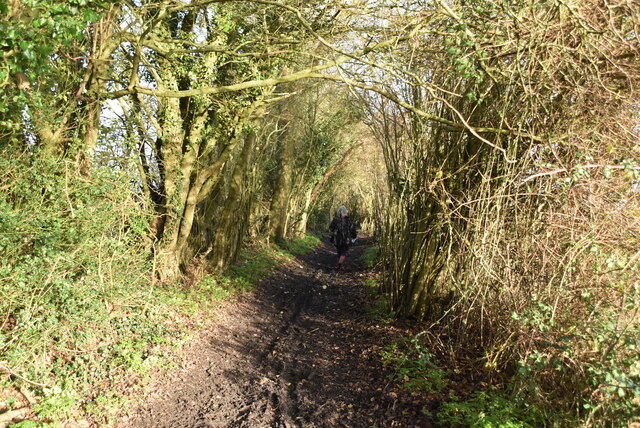
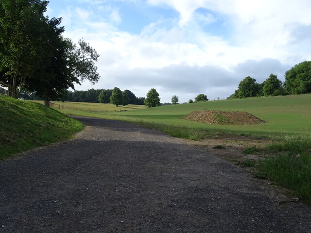
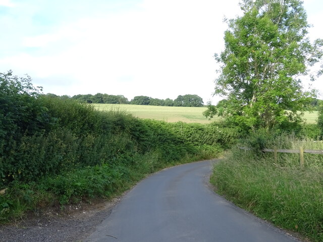
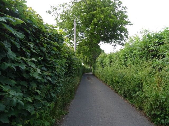
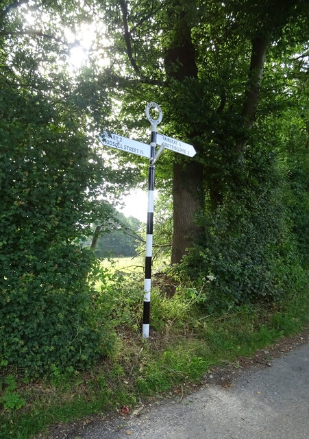
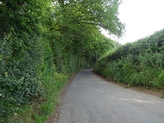
Court Wood offers a network of well-maintained walking trails that wind through the forest, allowing visitors to fully immerse themselves in the natural beauty of the area. These paths cater to various fitness levels, from leisurely strolls to more challenging hikes, ensuring there is something for everyone.
The woodland is also home to a number of historic features, including remnants of an Iron Age hillfort known as the Swattenden Camp. This archaeological site provides a glimpse into the area's ancient past and adds an extra layer of intrigue to the woodland's allure.
Furthermore, Court Wood boasts excellent facilities, including ample parking, picnic areas, and toilet facilities, ensuring visitors have a comfortable and enjoyable experience.
Overall, Court Wood in Kent offers a serene escape from the bustle of everyday life, providing a haven for nature lovers and history enthusiasts alike.
If you have any feedback on the listing, please let us know in the comments section below.
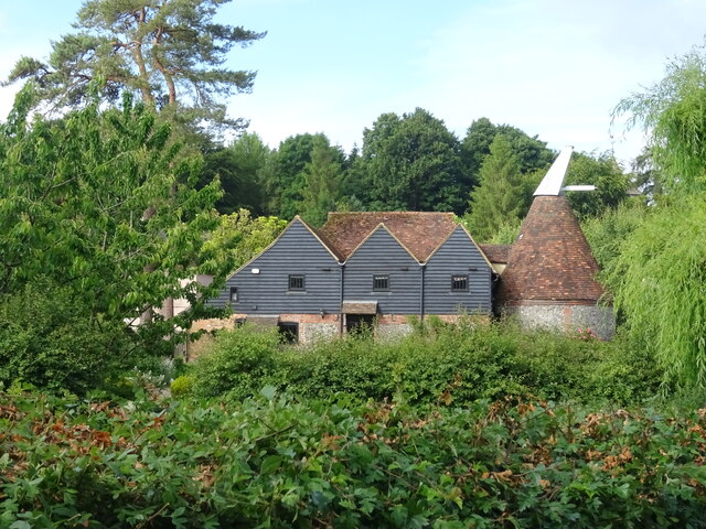
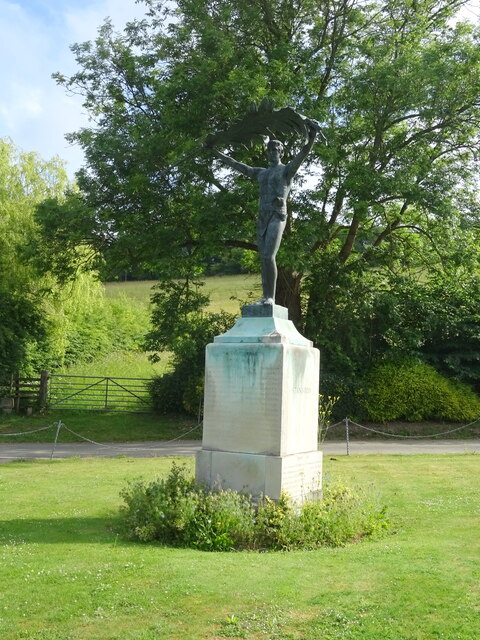
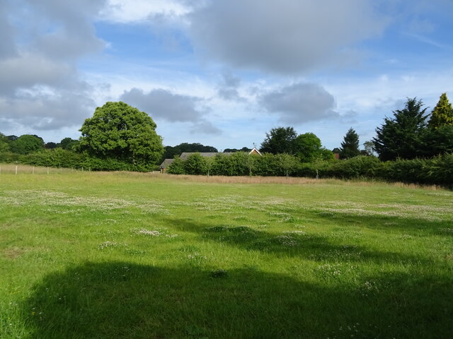
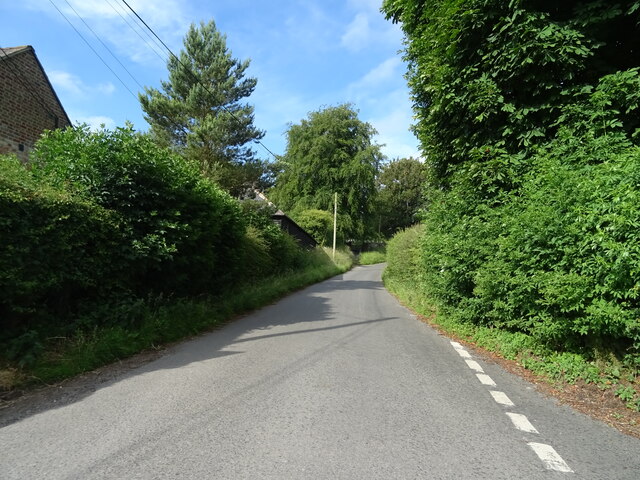
Court Wood Images
Images are sourced within 2km of 51.330271/0.29982092 or Grid Reference TQ6061. Thanks to Geograph Open Source API. All images are credited.
Court Wood is located at Grid Ref: TQ6061 (Lat: 51.330271, Lng: 0.29982092)
Administrative County: Kent
District: Tonbridge and Malling
Police Authority: Kent
What 3 Words
///verge.during.soak. Near Wrotham, Kent
Nearby Locations
Related Wikis

Stansted, Kent
Stansted (referred to in older texts as Stanstead) is a village and rural parish in the Tonbridge and Malling district of the county of Kent in the United...
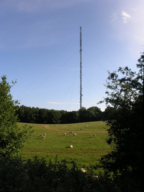
Wrotham transmitting station
The Wrotham transmitting station is located on the North Downs, close to the village of Wrotham in Kent, England and just north of the M20 motorway. Its...
London Golf Club
The London Golf Club is a privately owned golf course located in the village of Ash, Kent, approximately 20 miles southeast of London. == History == The...

West Kingsdown Windmill
West Kingsdown Windmill is a Grade II listed smock mill in West Kingsdown, Kent, England, that was built in the early nineteenth century at Farningham...

Ridley, Kent
Ridley is a place and former civil parish, now in the parish of Ash-cum-Ridley, in the Sevenoaks district, in the county of Kent, England. It lies between...

Wrotham
Wrotham ( ROO-təm) is a village on the Pilgrims' Way in Kent, England, at the foot of the North Downs. It is 1 mile (1.6 km) north of Borough Green and...
Napps, Wrotham
Napps was a cricket ground at Wrotham in Kent. One match played on the ground was given retrospective first-class cricket status. This took place in 1815...
Ash, Sevenoaks District
Ash is a small village and former civil parish located in the Sevenoaks district in Kent. It shares the parish of Ash-cum-Ridley with the nearby village...
Nearby Amenities
Located within 500m of 51.330271,0.29982092Have you been to Court Wood?
Leave your review of Court Wood below (or comments, questions and feedback).